Uphill
33m
Length
4km
Duration
1h
Elev gain
33m
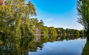
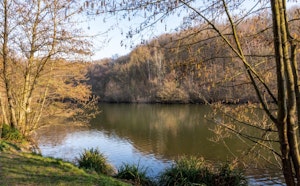
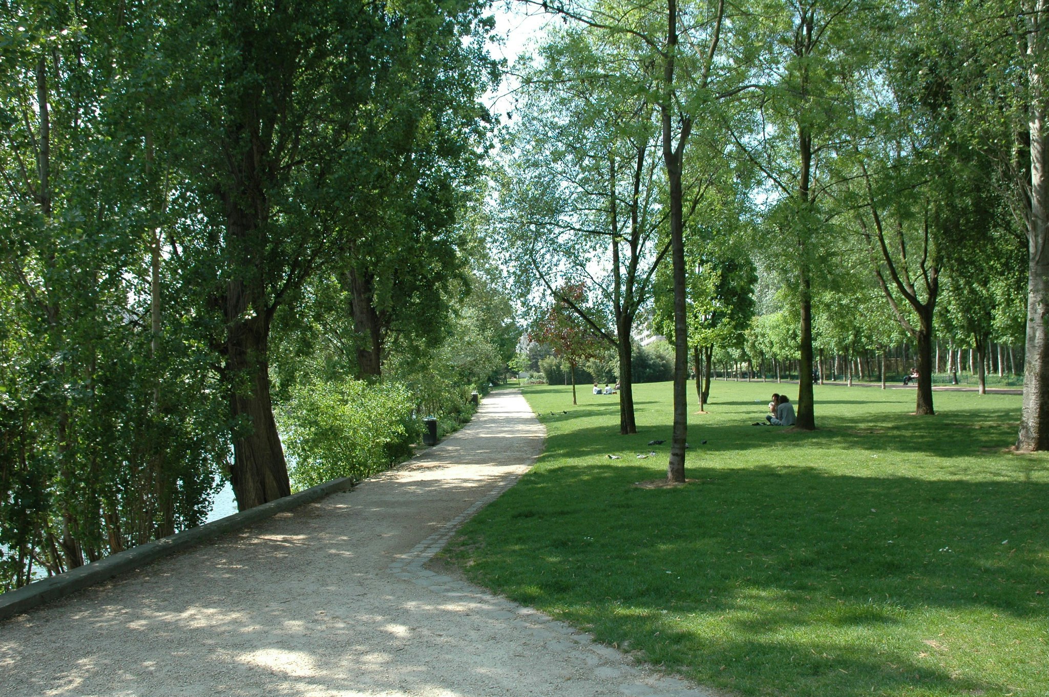
Relatively urban route that allows you to enjoy the banks of the Seine. Both ends of the small island offer green spaces.

Already more than 200,000 users!
Uphill
33m
Highest point
58m
Downhill
33m
Lowest point
34m
Route type
Loop
Download the map on your smartphone to save battery and rest assured to always keep access to the route, even without signal.
Includes IGN France and Swisstopo.
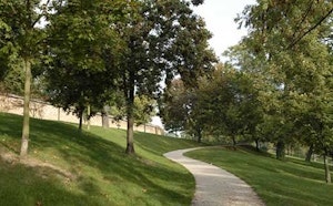
Metro Pont-de-Levallois-Bécon and Gare de Bécon-les-Bruyères are nearby.
I indicate whether dogs are allowed or prohibited on this trail
All year
5 ratings
Also enjoy:

Already more than 200,000 users!