Uphill
180m
Length
14km
Duration
4h
Elev gain
180m
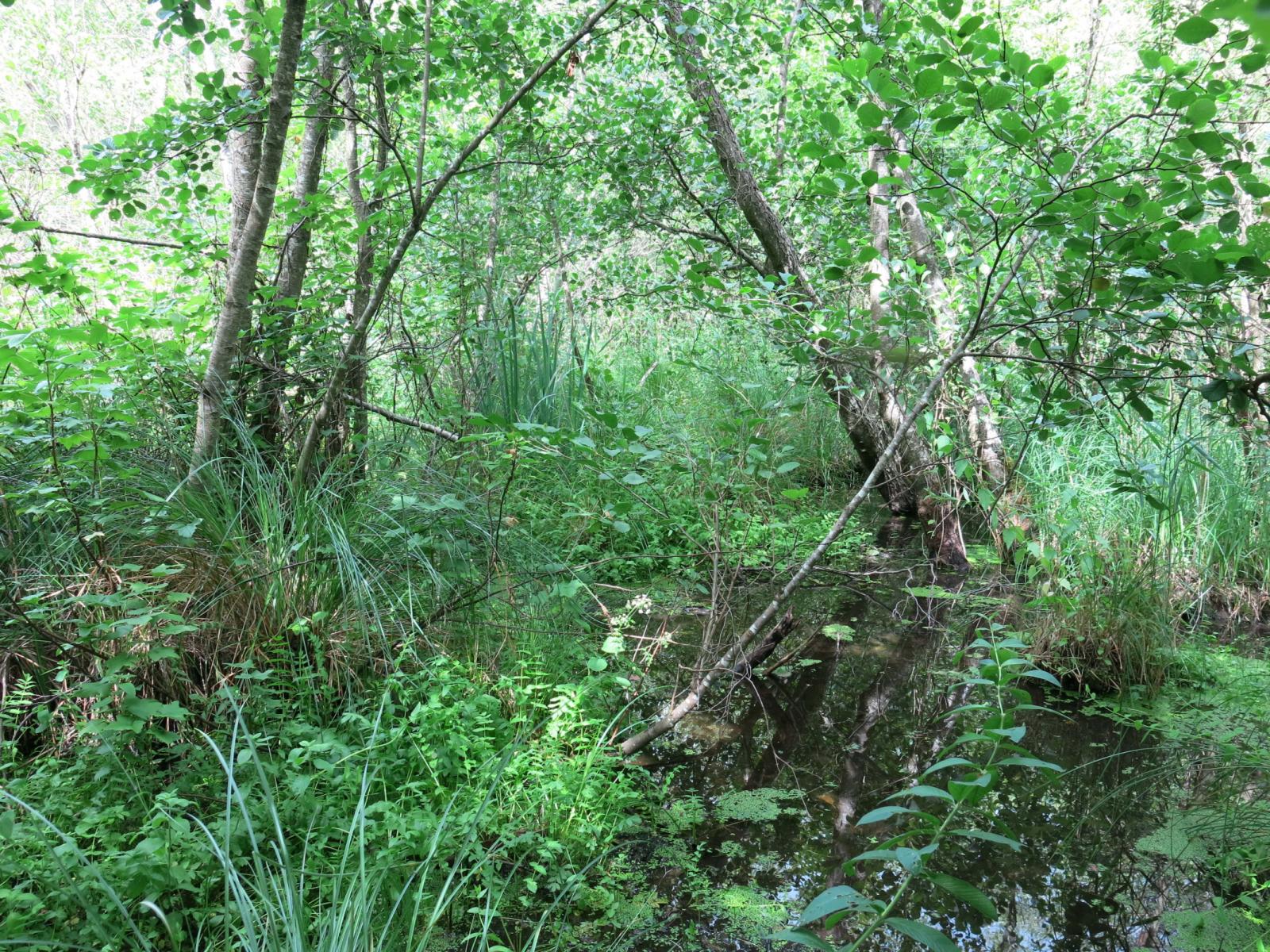
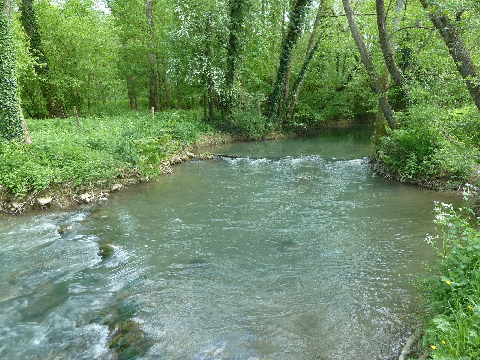
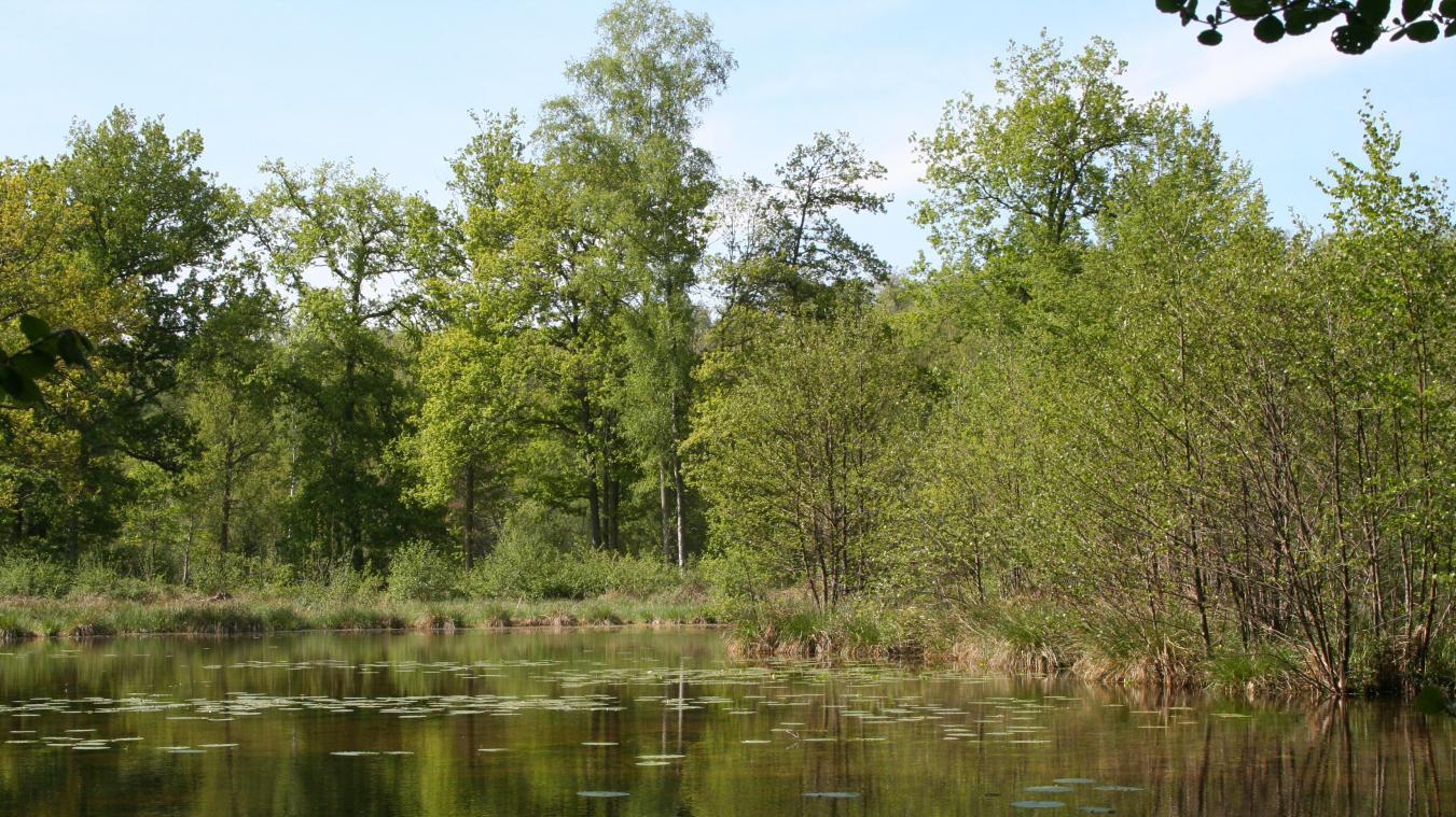
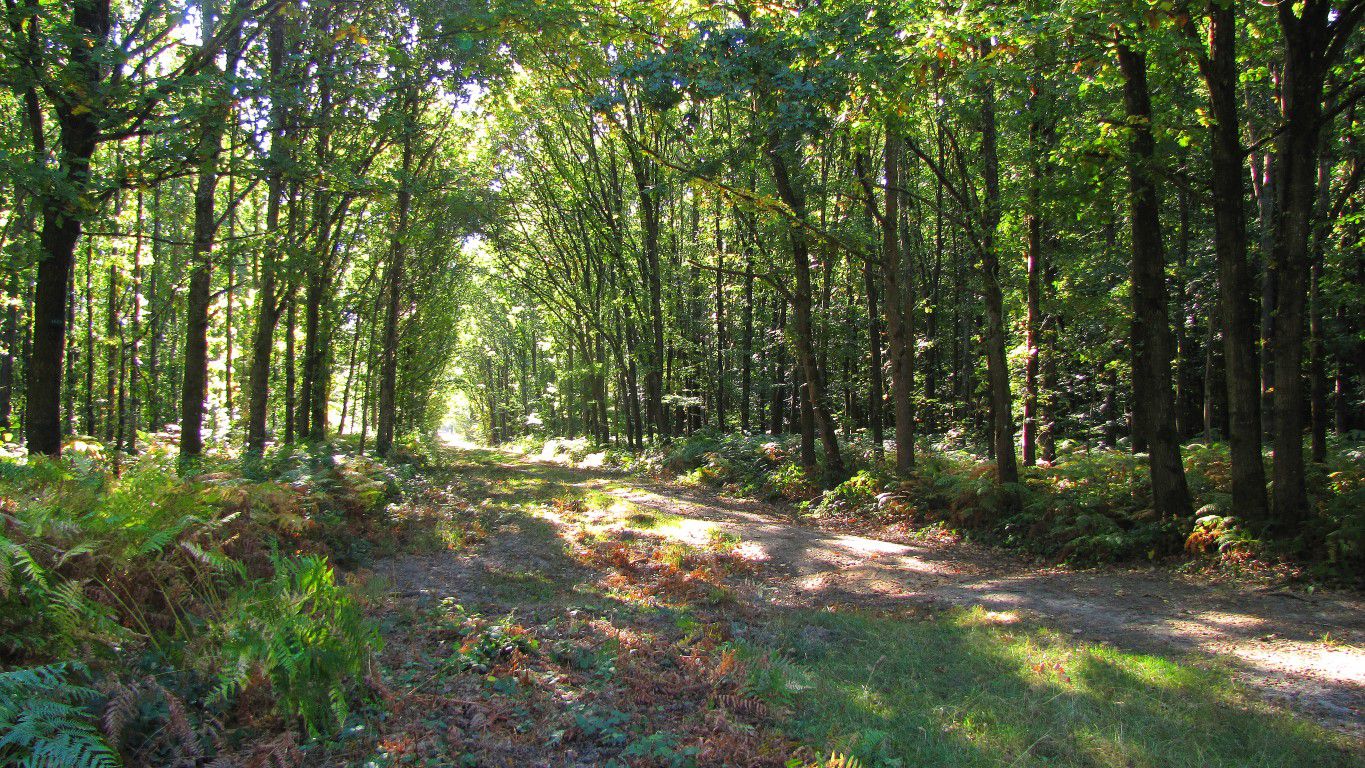
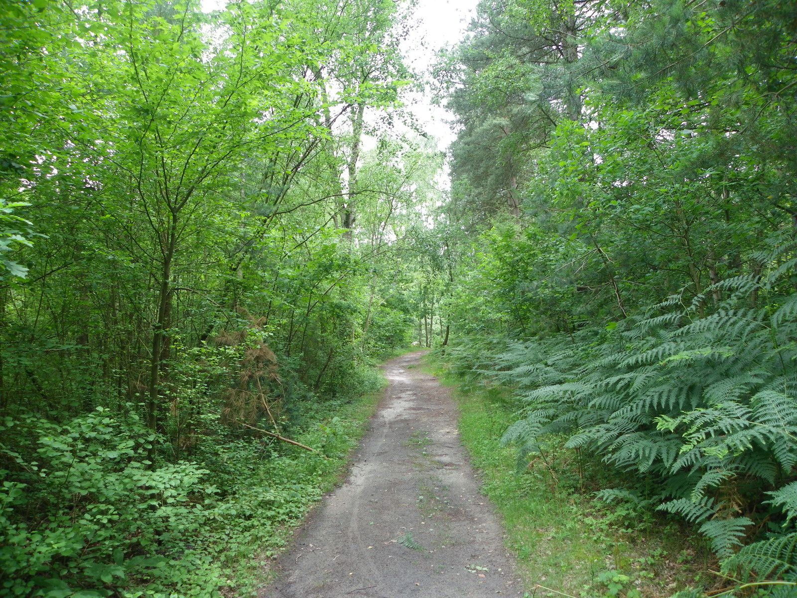
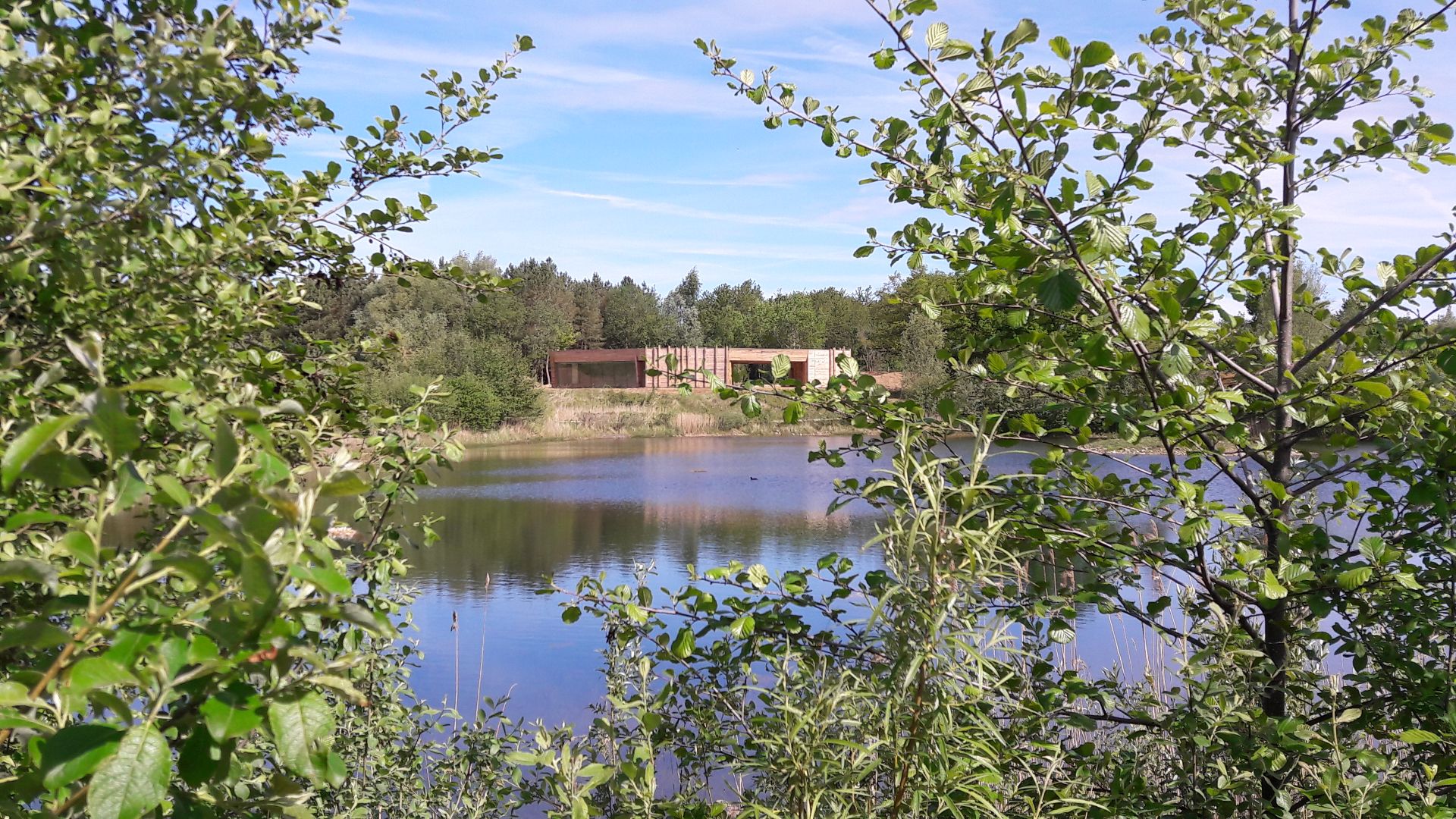
Departing from Congis-sur-Thérouanne, here is a varied hike starting with the Grands Voyeux nature reserve and its ponds. The trail then successively follows three rivers: the Thérouanne, the Ourcq and the Marne.

Already more than 200,000 users!
Uphill
180m
Highest point
87m
Downhill
180m
Lowest point
27m
Route type
Loop
Download the map on your smartphone to save battery and rest assured to always keep access to the route, even without signal.
Includes IGN France and Swisstopo.
I indicate whether dogs are allowed or prohibited on this trail
All year
3 ratings
Also enjoy:

Already more than 200,000 users!