Uphill
149m
Length
18km
Duration
5h
Elev gain
149m
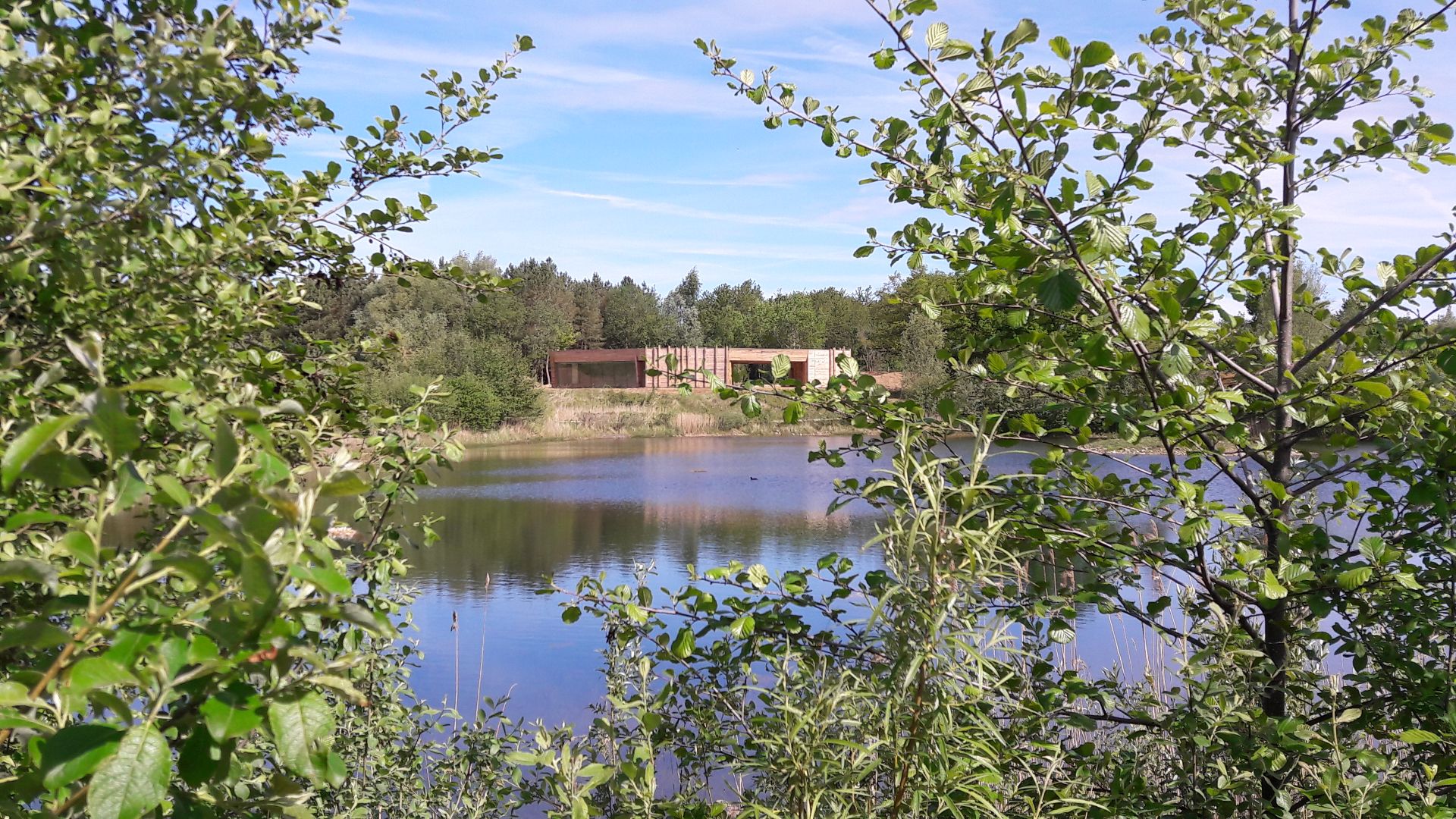
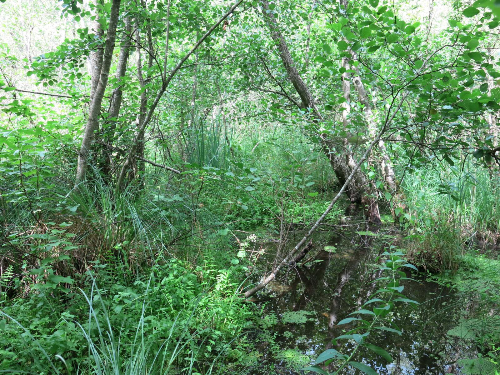
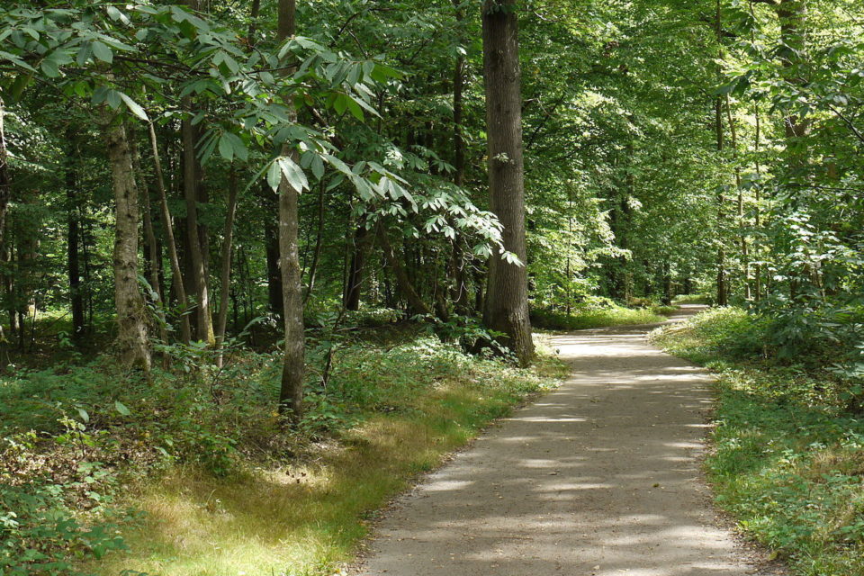
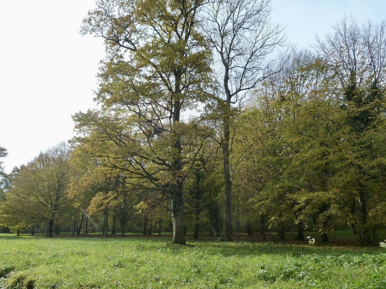
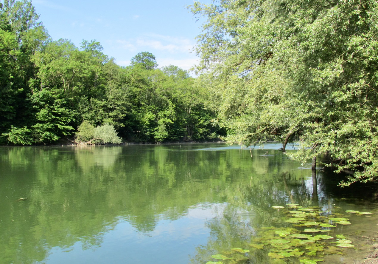
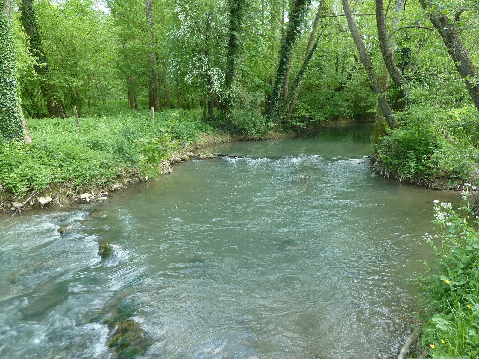
Departing from Pommeuse, this walk runs along the Grand Morin river in a bucolic setting, before reaching Aubetin and its small waterfall. A beautiful balance between countryside and wild nature.

Already more than 200,000 users!
Uphill
149m
Highest point
133m
Downhill
149m
Lowest point
51m
Route type
Loop
Download the map on your smartphone to save battery and rest assured to always keep access to the route, even without signal.
Includes IGN France and Swisstopo.
I indicate whether dogs are allowed or prohibited on this trail
All year
0 ratings
Also enjoy:

Already more than 200,000 users!