Uphill
75m
Length
17km
Duration
4h30min
Elev gain
75m
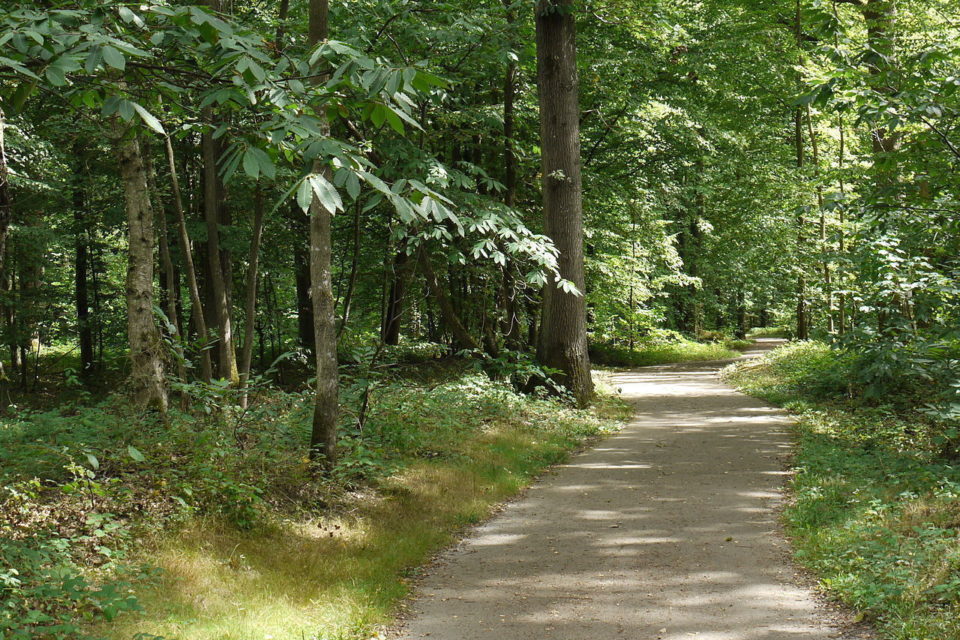
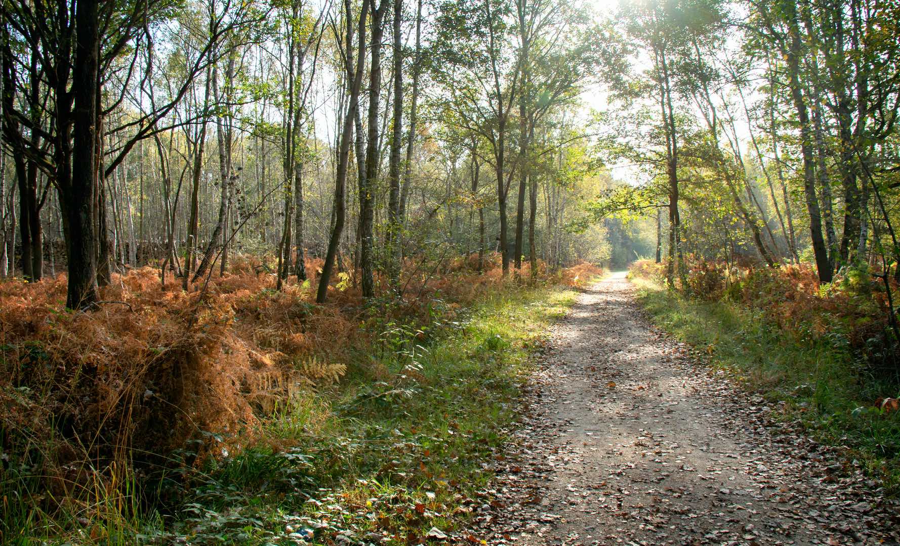
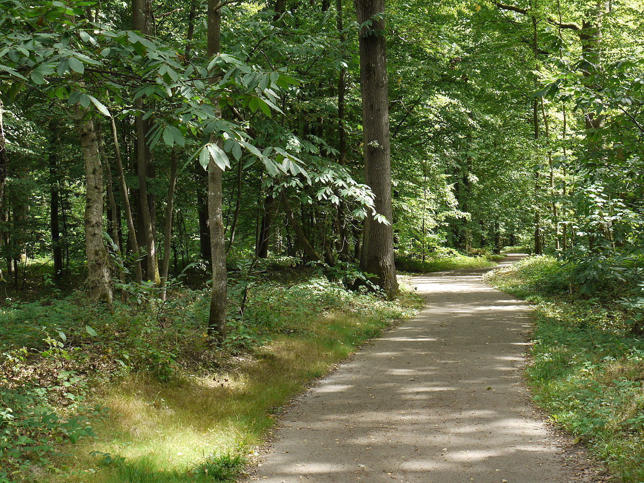
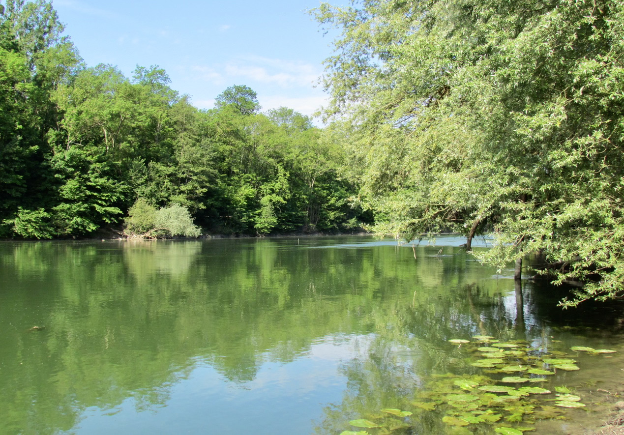
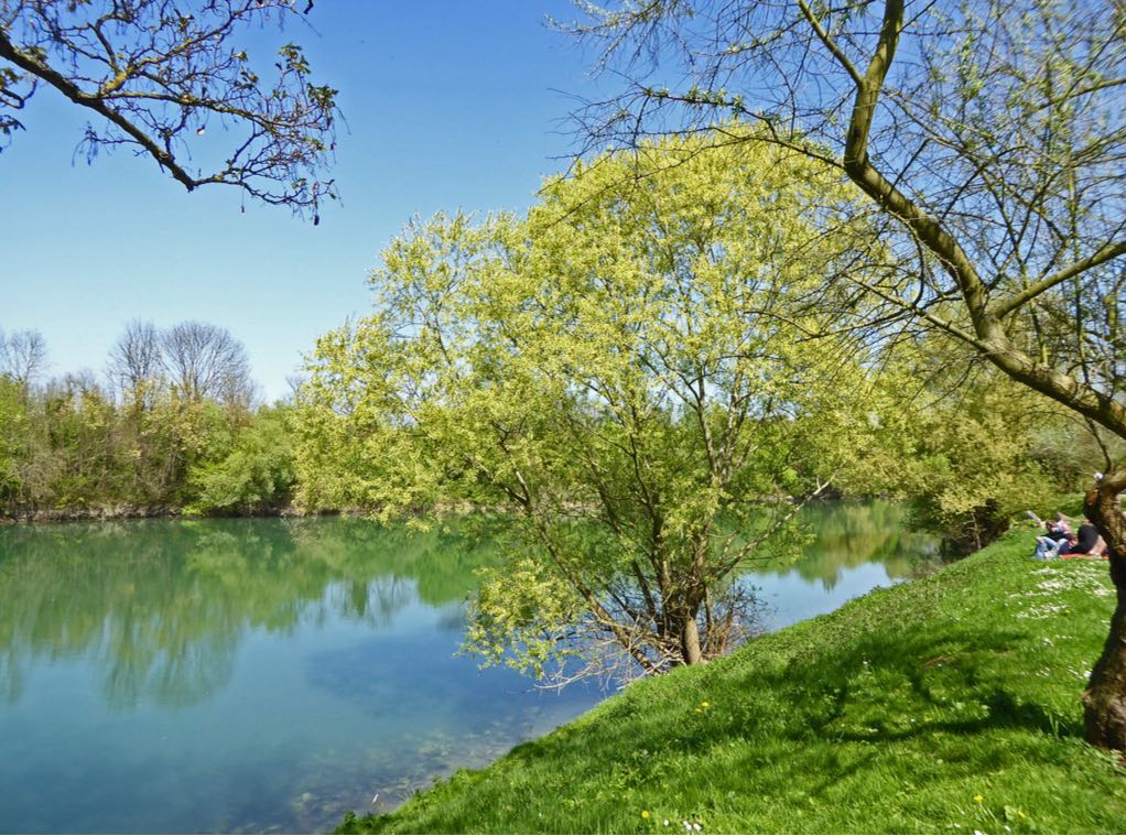
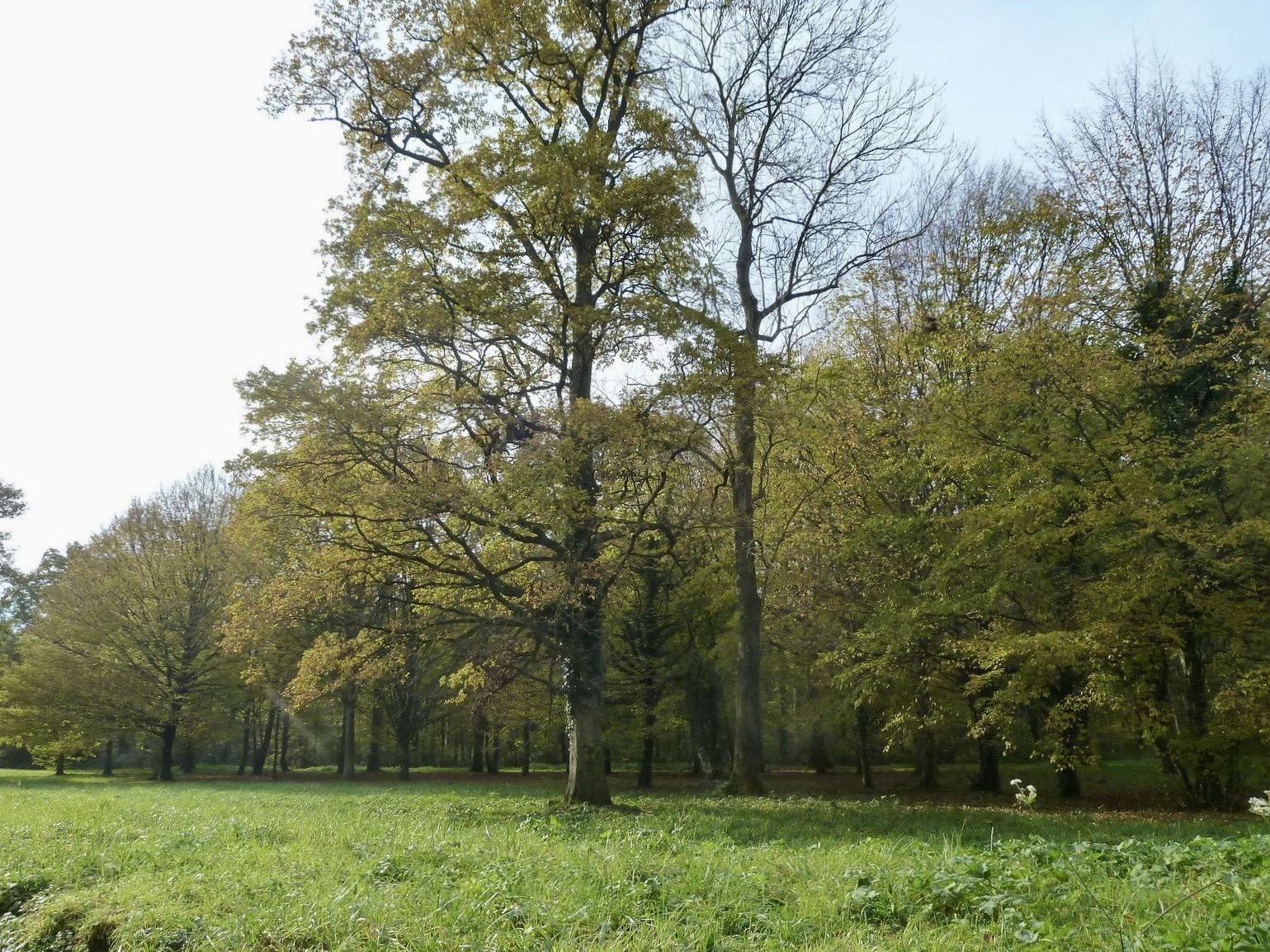
Departing from Ozoir-la-Ferrière station, this walk allows you to discover the Forêt d'Armainvilliers. This massif populated with oaks is popular for mushroom picking, in particular boletus.

Already more than 200,000 users!
Uphill
75m
Highest point
130m
Downhill
75m
Lowest point
97m
Route type
Loop
Download the map on your smartphone to save battery and rest assured to always keep access to the route, even without signal.
Includes IGN France and Swisstopo.
I indicate whether dogs are allowed or prohibited on this trail
All year
2 ratings
Also enjoy:

Already more than 200,000 users!