Uphill
51m
Length
14km
Duration
3h30min
Elev gain
51m
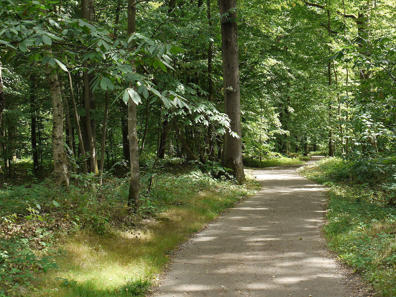
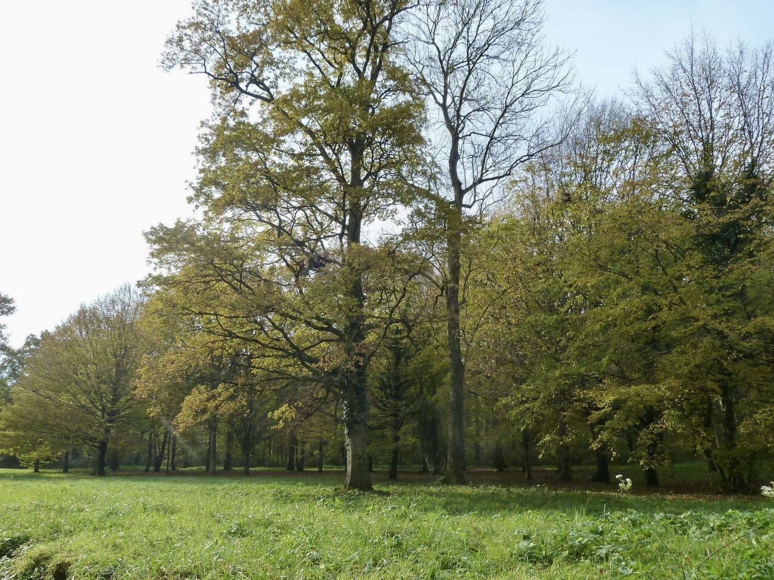
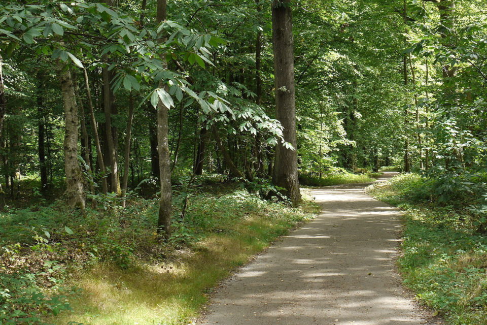
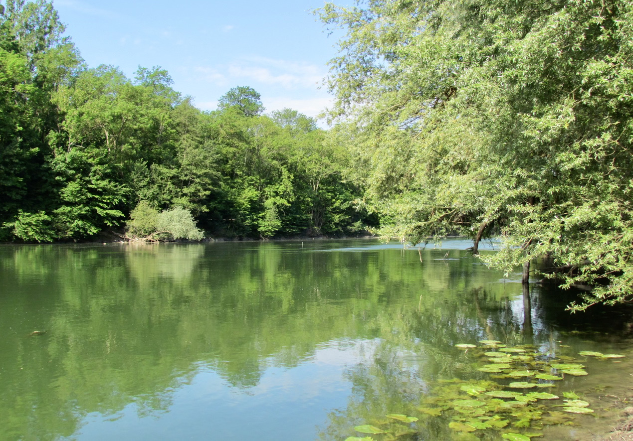
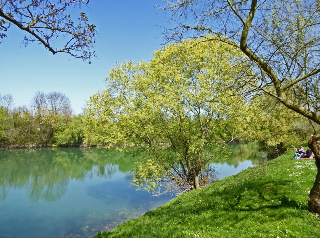
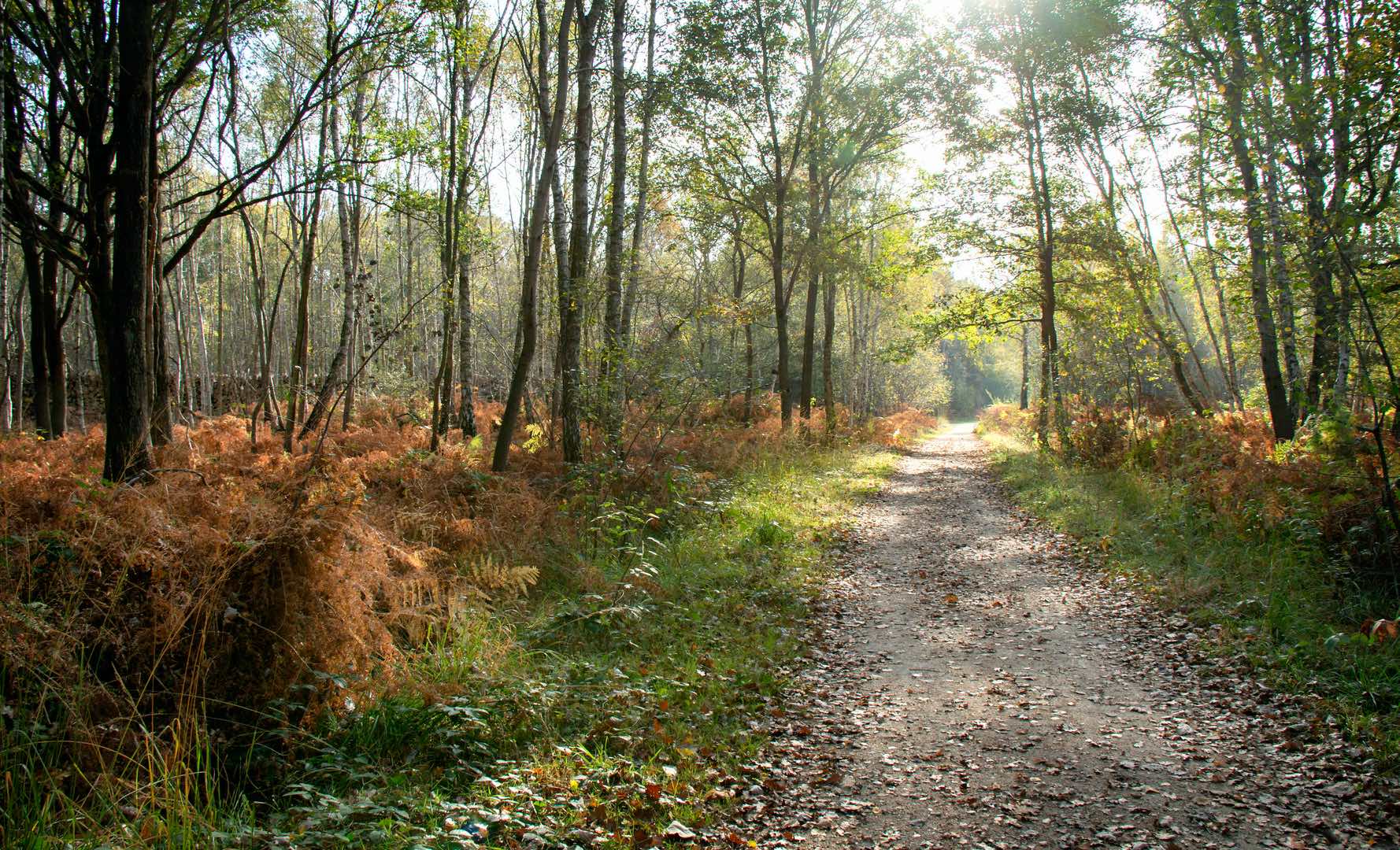
The national forest of Notre-Dame, also called wood of Notre-Dame, owes its name to the fact that it has long belonged to the cathedral of Paris. There are large rectilinear alleys, typical of the royal forests which were used for hunting with hounds. Today, it is a pleasant place for a stroll consisting mainly of oaks, birches and many ponds.

Already more than 200,000 users!
Uphill
51m
Highest point
116m
Downhill
51m
Lowest point
91m
Route type
Loop
Download the map on your smartphone to save battery and rest assured to always keep access to the route, even without signal.
Includes IGN France and Swisstopo.
I indicate whether dogs are allowed or prohibited on this trail
All year
2 ratings
Also enjoy:

Already more than 200,000 users!