Uphill
40m
France > Île-de-France > Seine-et-Marne
Length
10km
Duration
2h30min
Elev gain
40m
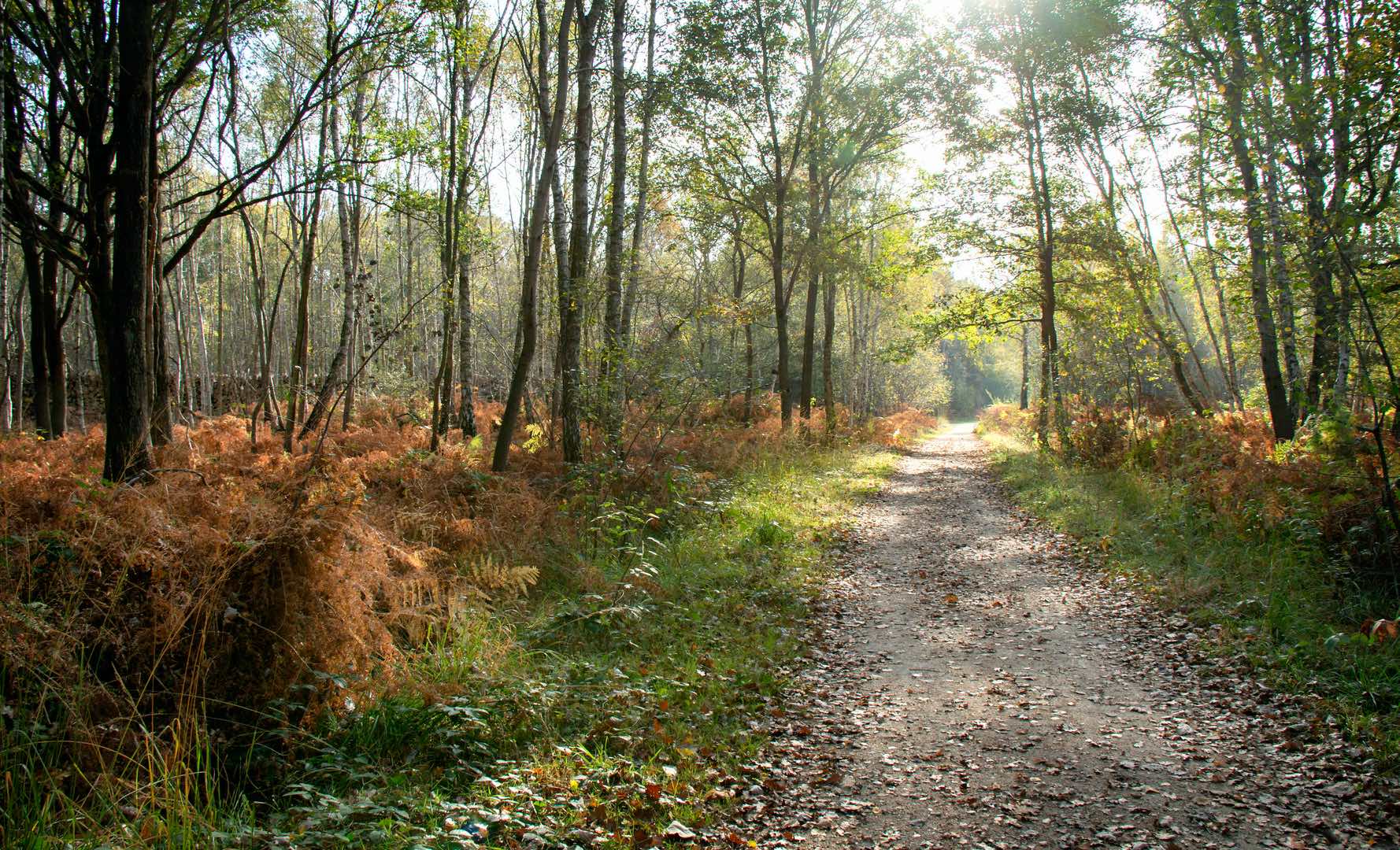
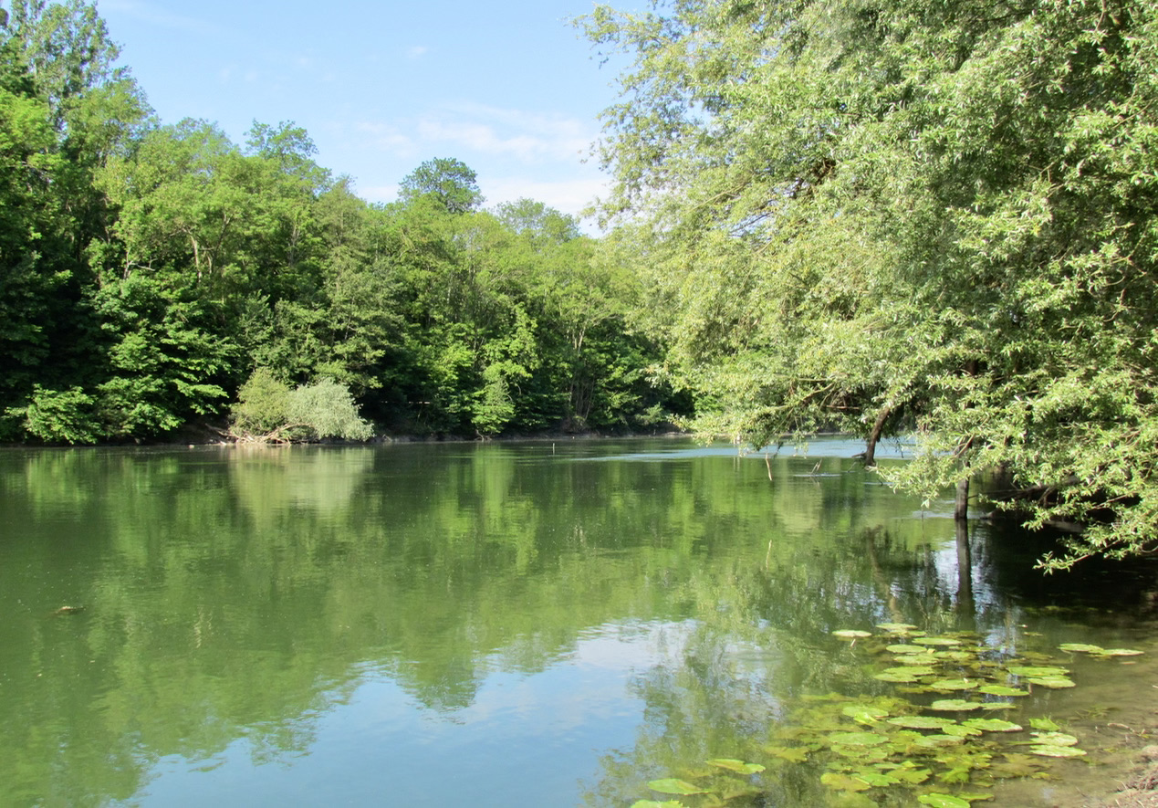
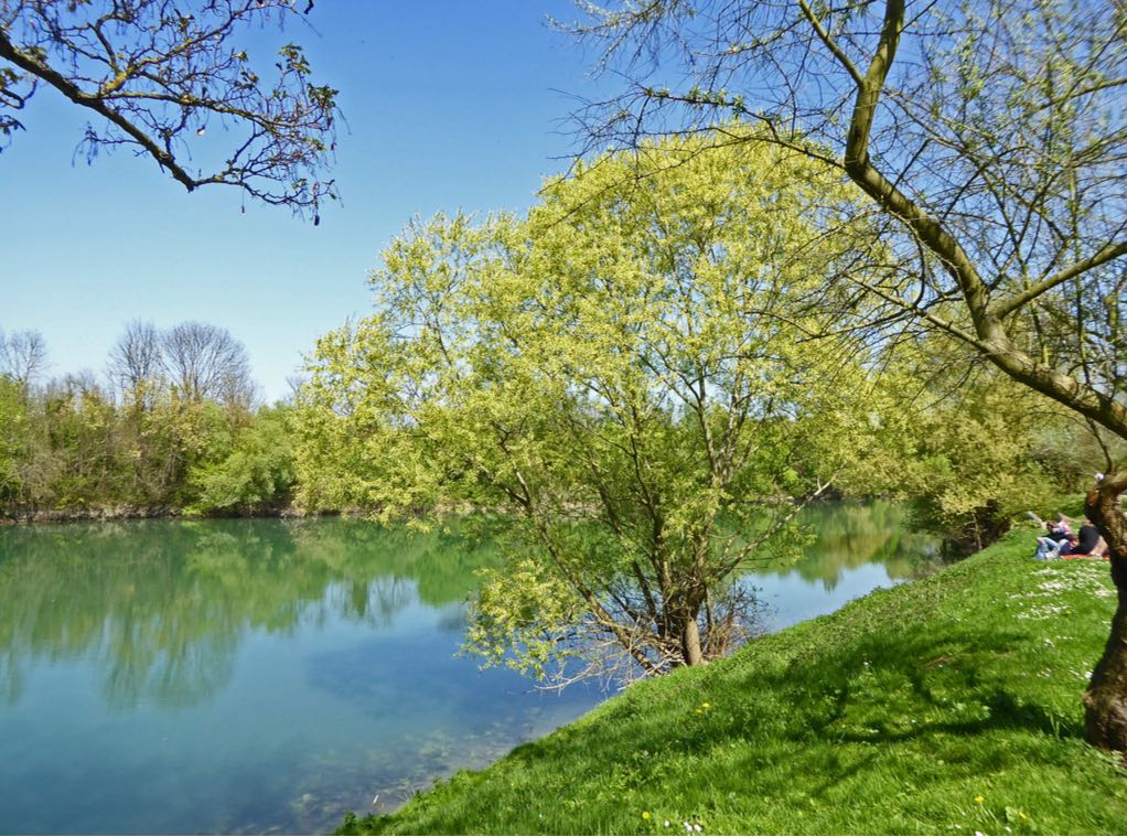
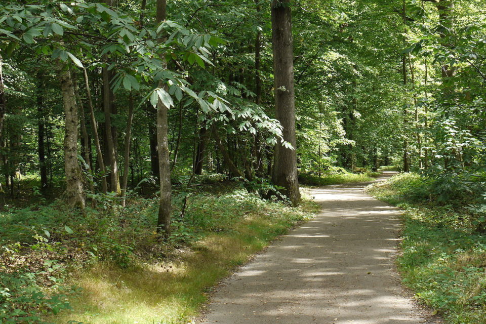
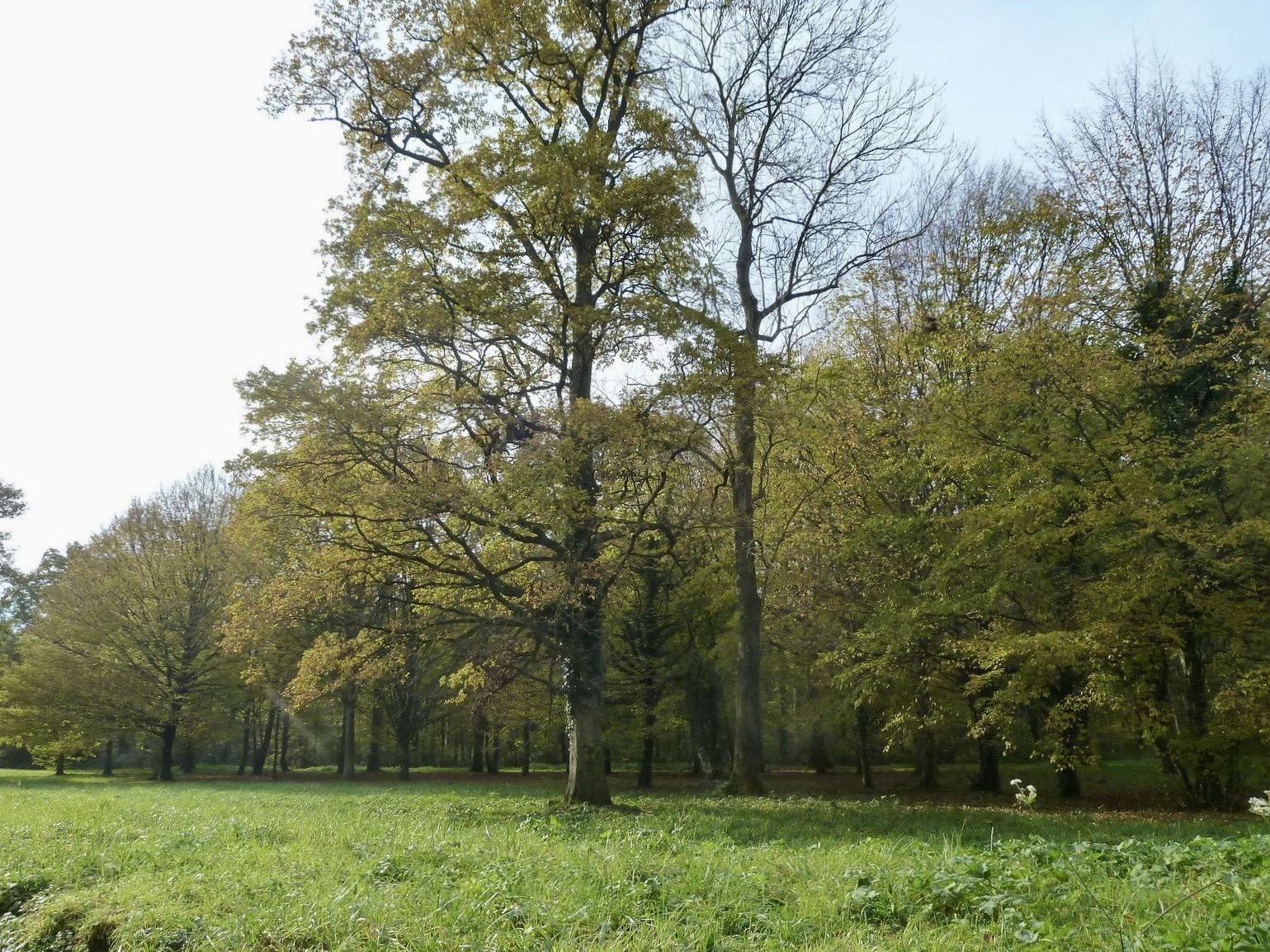
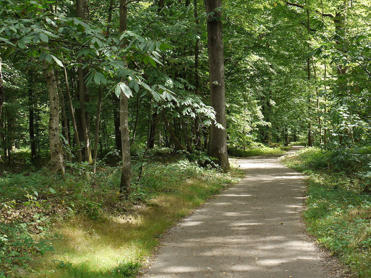
This is a hike from Emerainville Pontault Combault station to Ozoir-la-Ferrière station, both on the RER E. It allows you to cross the forests of Ferrières and Armainvilliers, dominated by oaks and other broad-leaved trees.

Already more than 200,000 users!
Uphill
40m
Highest point
125m
Downhill
46m
Lowest point
98m
Route type
One way
Download the map on your smartphone to save battery and rest assured to always keep access to the route, even without signal.
Includes IGN France and Swisstopo.
From gare de Emerainville Pontault Combault to gare de Ozoir-la-Ferrière (both on RER E).
Parking at each station.
I indicate whether dogs are allowed or prohibited on this trail
All year
1 rating
Also enjoy:

Already more than 200,000 users!