Uphill
21m
Length
11km
Duration
3h
Elev gain
21m
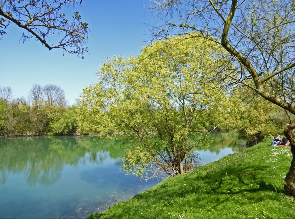
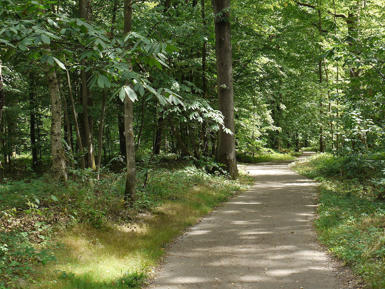
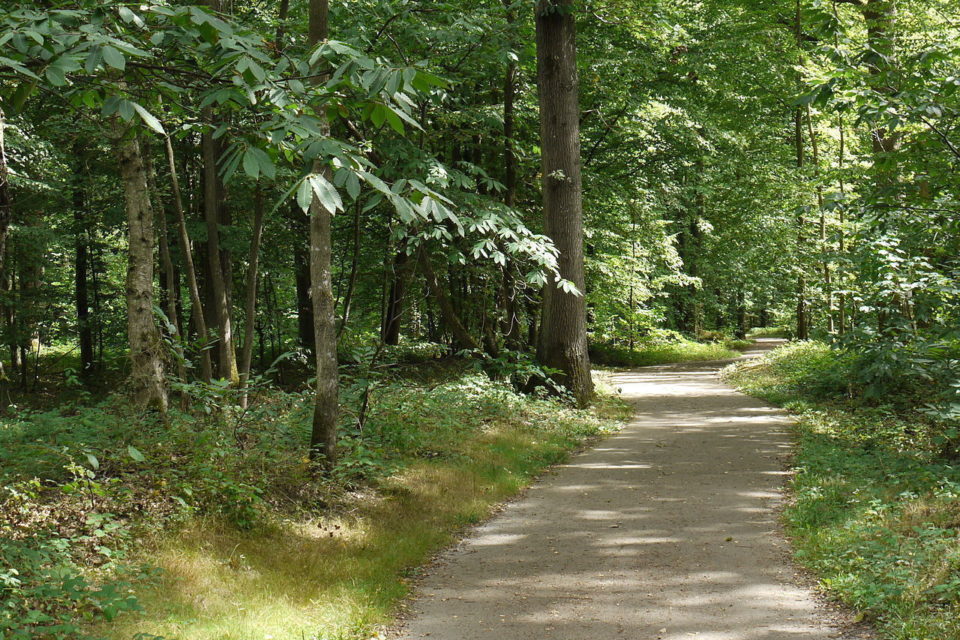
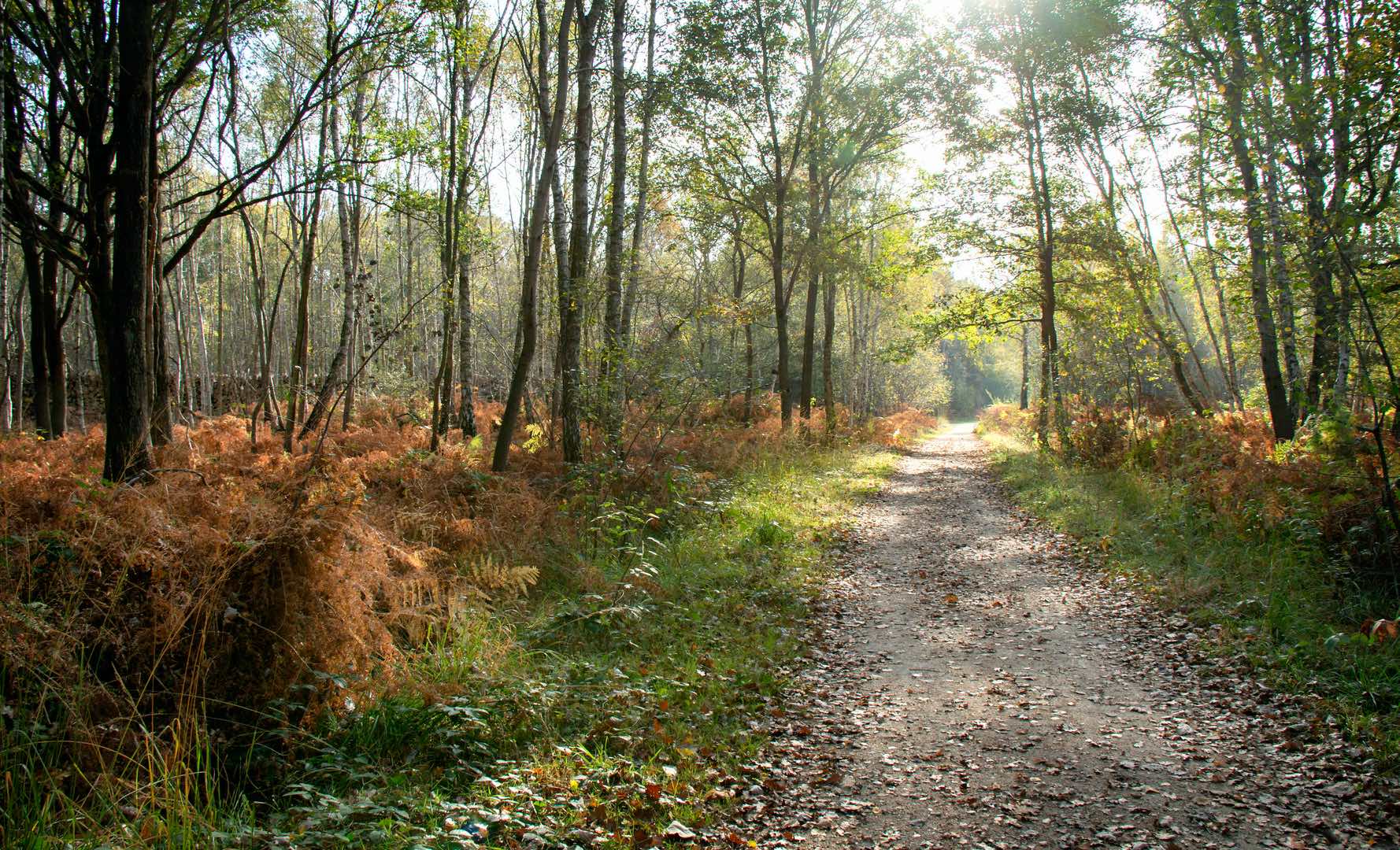
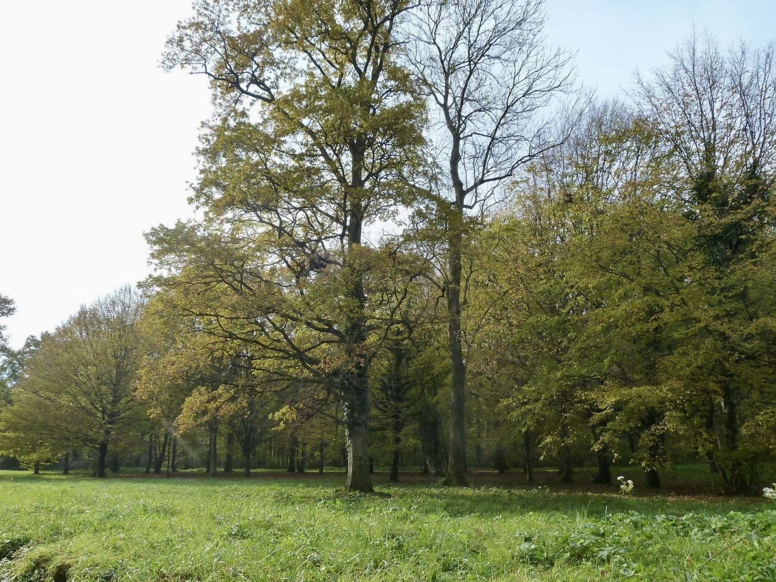
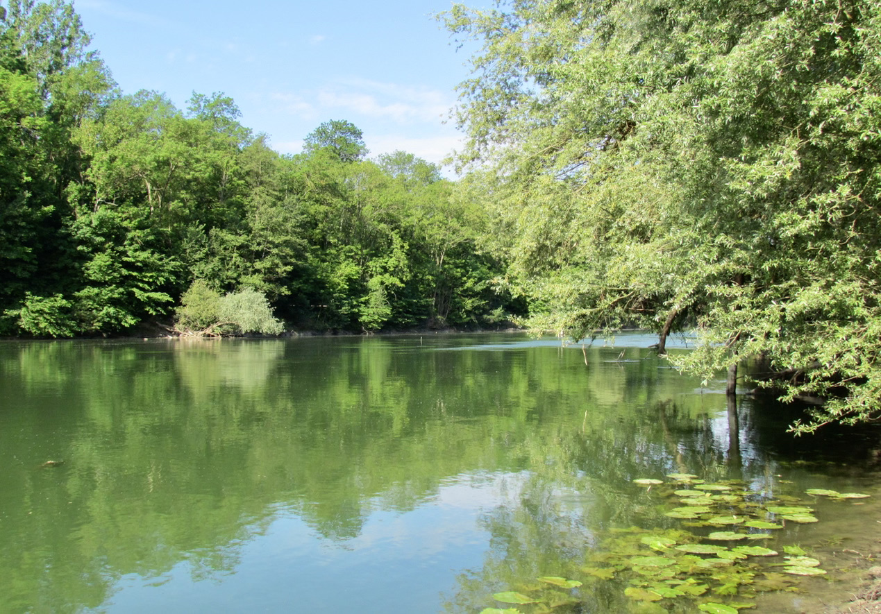
Stroll along the water passing by the leisure center of the island of Vaires, by the regional nature reserve of the islands of Chelles, as well as by the park of Noisiel. The course of the Marne is the central theme of this trail, which ends with a glimpse of the old Menier chocolate factory, with its original architecture. Also note the presence of many benches and picnic tables.

Already more than 200,000 users!
Uphill
21m
Highest point
46m
Downhill
21m
Lowest point
29m
Route type
Loop
Download the map on your smartphone to save battery and rest assured to always keep access to the route, even without signal.
Includes IGN France and Swisstopo.
I indicate whether dogs are allowed or prohibited on this trail
All year
2 ratings
Also enjoy:

Already more than 200,000 users!