Uphill
145m
Length
17km
Duration
4h30min
Elev gain
145m
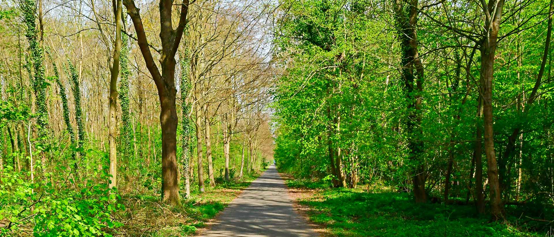
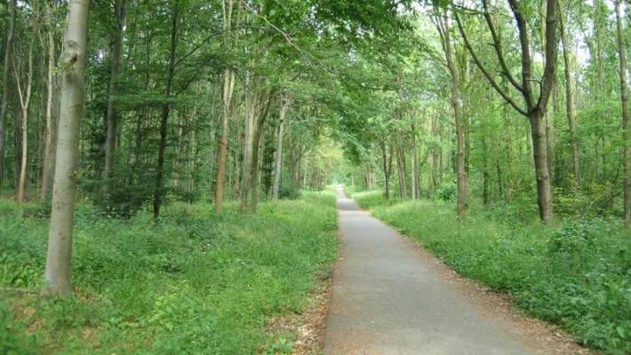
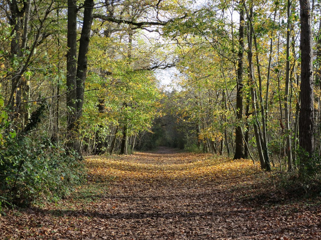
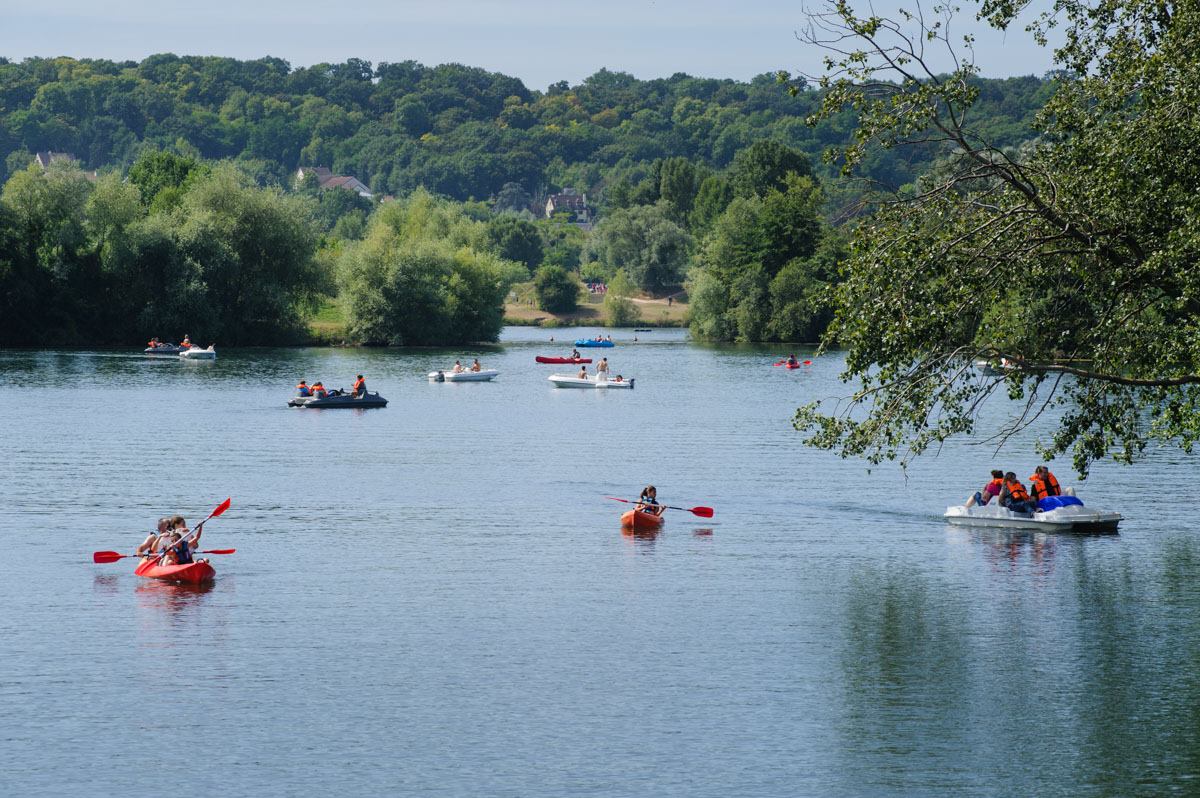
Hike from station to station, crossing the forest of Saint-Germain via the Corra pond and the Grande Terrasse.

Already more than 200,000 users!
Uphill
145m
Highest point
92m
Downhill
111m
Lowest point
15m
Route type
One way
Download the map on your smartphone to save battery and rest assured to always keep access to the route, even without signal.
Includes IGN France and Swisstopo.
Gare d'Achères-Grand-Cormier (RER A) and gare de Saint-Germain-en-Laye (RER A).
I indicate whether dogs are allowed or prohibited on this trail
All year
1 rating
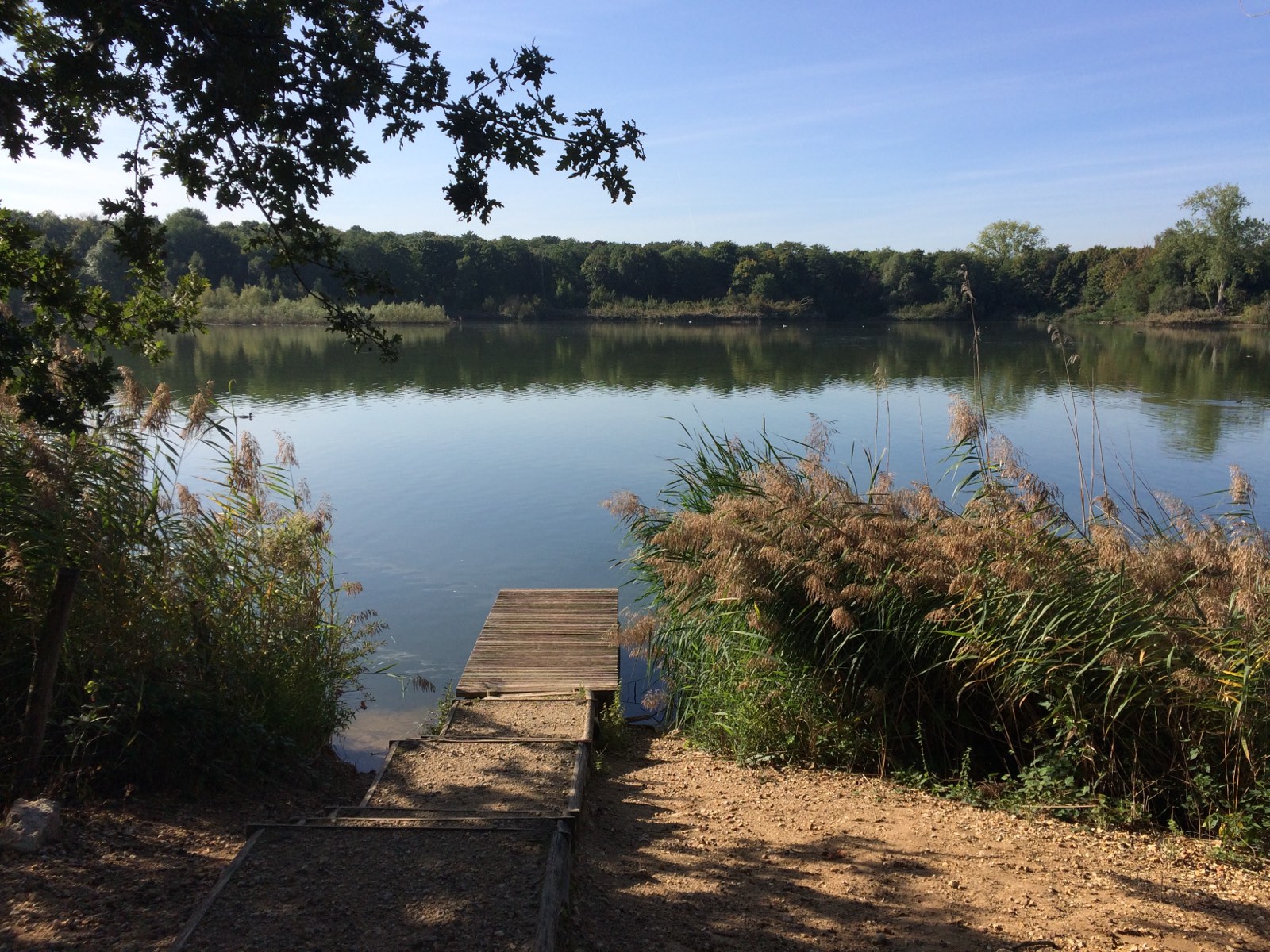
Sentier de gare à gare, ce qui est bien pratique lorsqu’on a pas de voiture. La forêt est globalement agréable et grande.
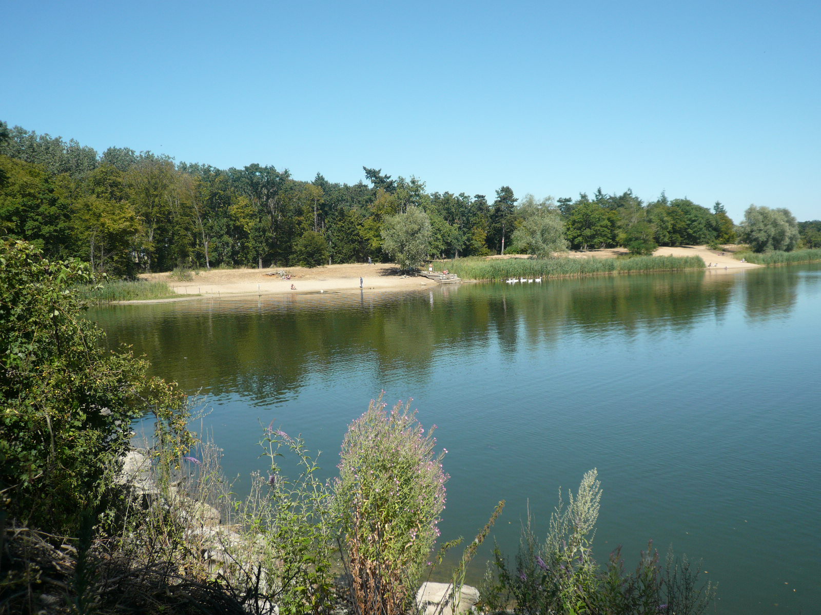
Petit bémol : l’étang du Corra, bien que très joli, est entouré de nombreux déchets. Mériterait d’être mieux entretenu.
Also enjoy:

Already more than 200,000 users!