Uphill
96m
Length
15km
Duration
4h
Elev gain
96m
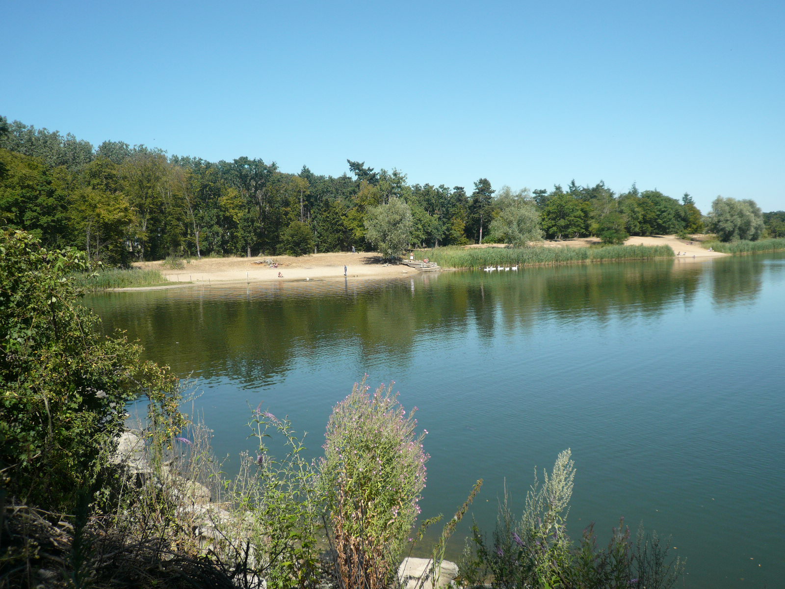
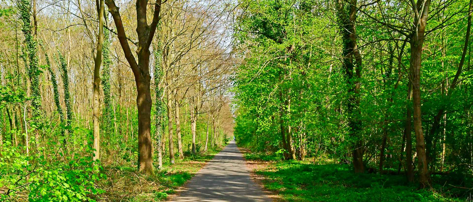
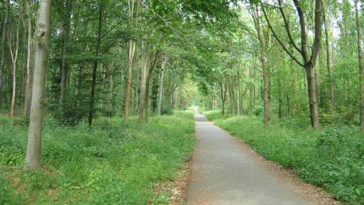
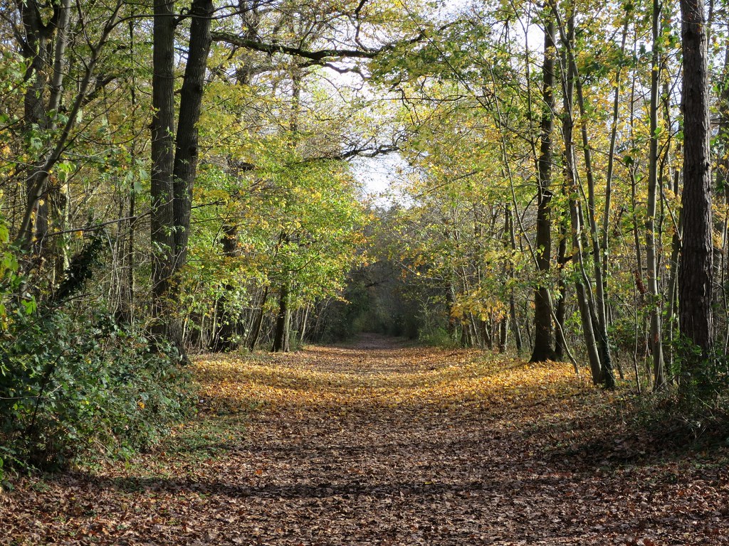
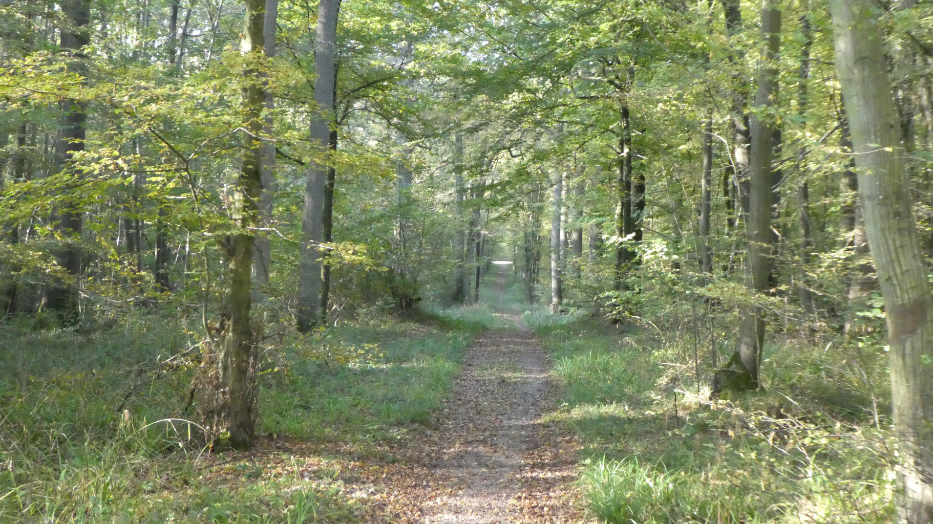
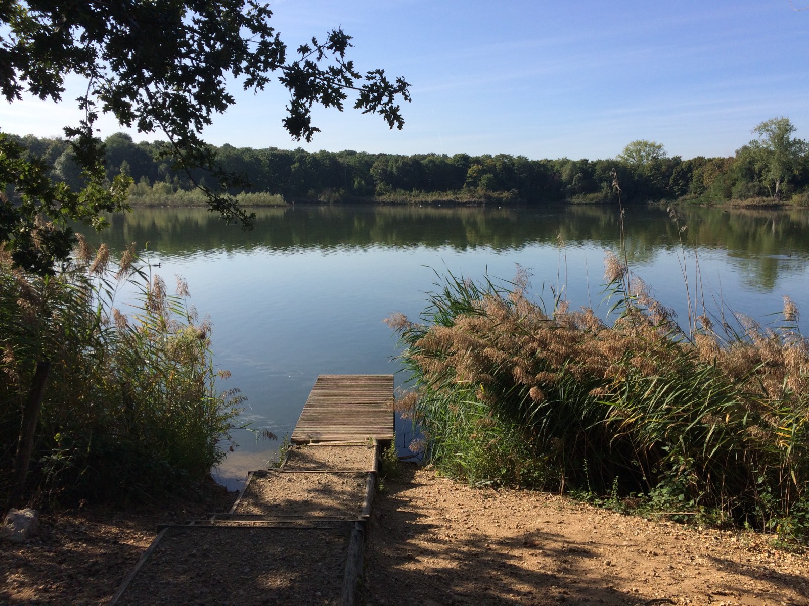
Pleasant loop in the forest leading to the Etang du Corra. Note that many mountain bikes use this trail.

Already more than 200,000 users!
Uphill
96m
Highest point
68m
Downhill
96m
Lowest point
16m
Route type
Loop
Download the map on your smartphone to save battery and rest assured to always keep access to the route, even without signal.
Includes IGN France and Swisstopo.
I indicate whether dogs are allowed or prohibited on this trail
All year
3 ratings
C'est un itinéraire sympathique quand il fait beau. Un bémol; il y a beaucoup de cyclistes VTT et difficile de se randonner tranquillement.
Also enjoy:

Already more than 200,000 users!