Uphill
187m
Length
9km
Duration
2h30min
Elev gain
187m
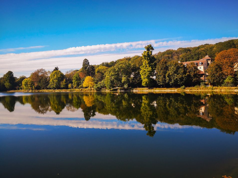
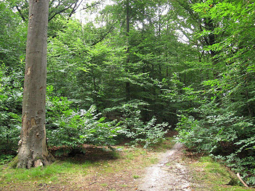
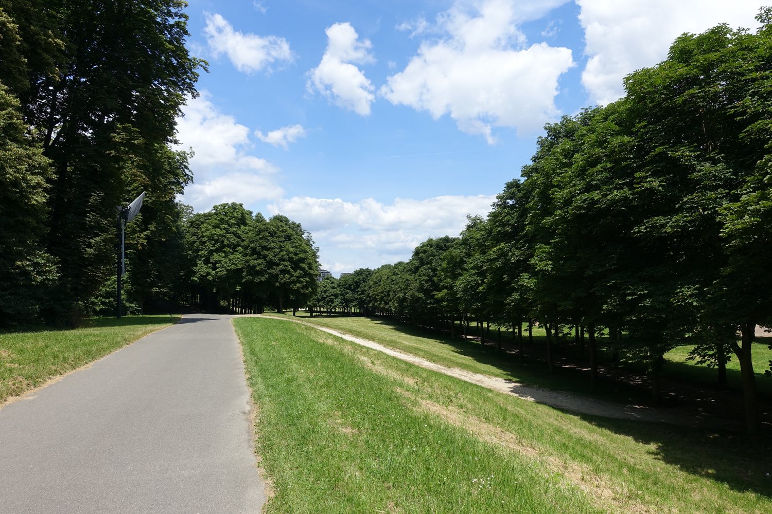
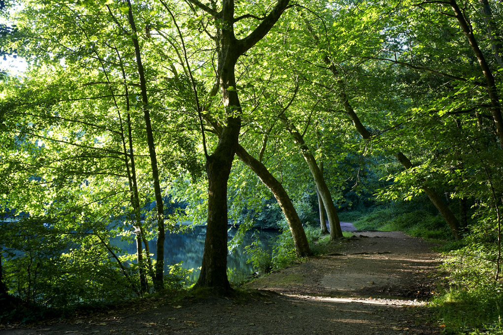
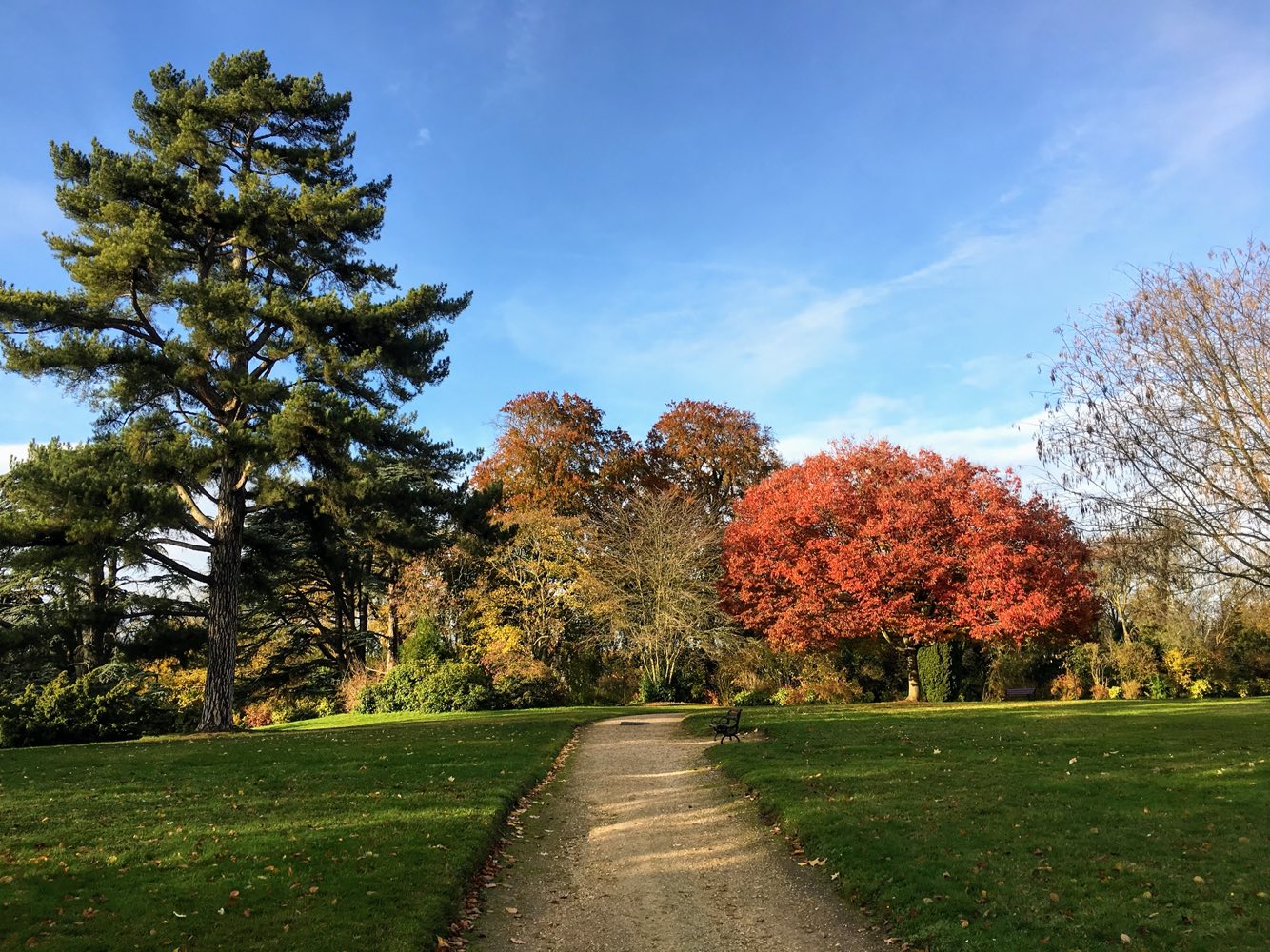
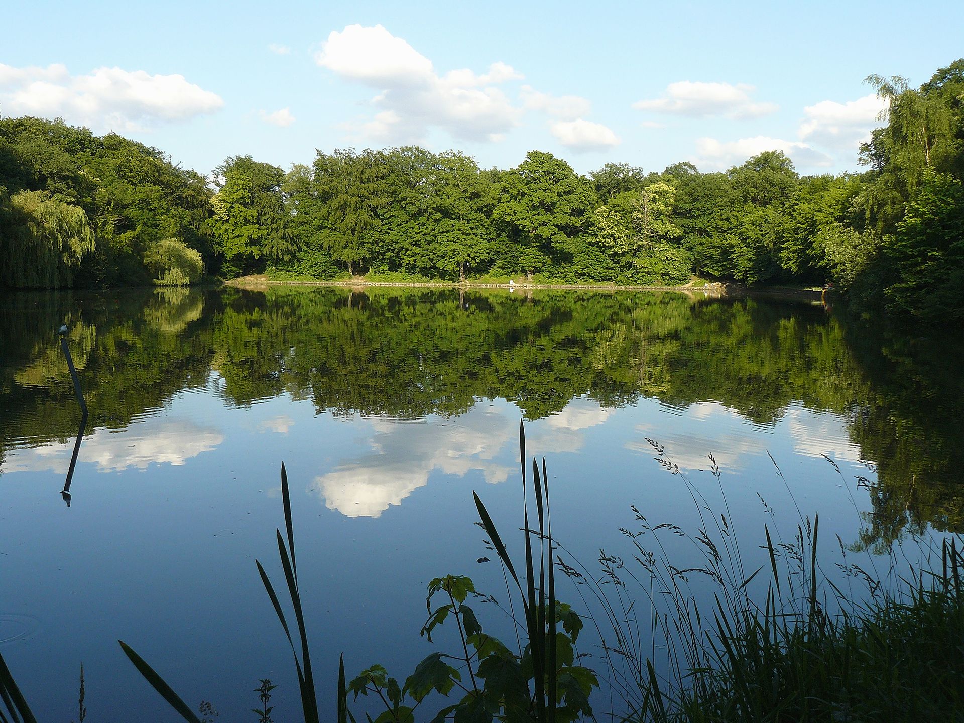
Walk from Chaville-Rive-Gauche station to Meudon-Val-Fleury station, at the edge of six ponds in the Meudon forest.

Already more than 200,000 users!
Uphill
187m
Highest point
194m
Downhill
209m
Lowest point
80m
Route type
One way
Download the map on your smartphone to save battery and rest assured to always keep access to the route, even without signal.
Includes IGN France and Swisstopo.
I indicate whether dogs are allowed or prohibited on this trail
All year
2 ratings
Also enjoy:

Already more than 200,000 users!