Uphill
233m
Length
11km
Duration
3h30min
Elev gain
233m
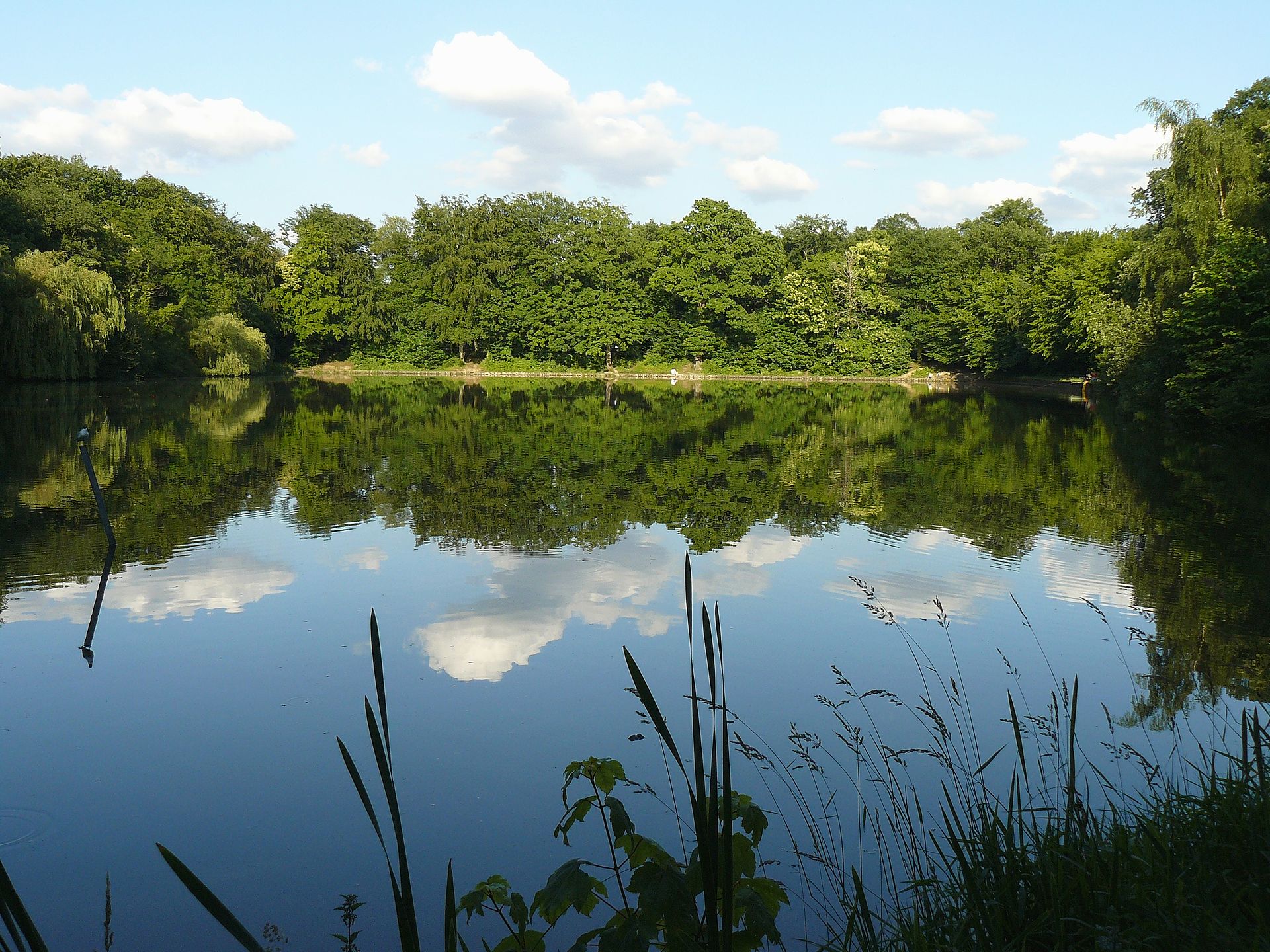
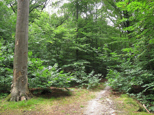
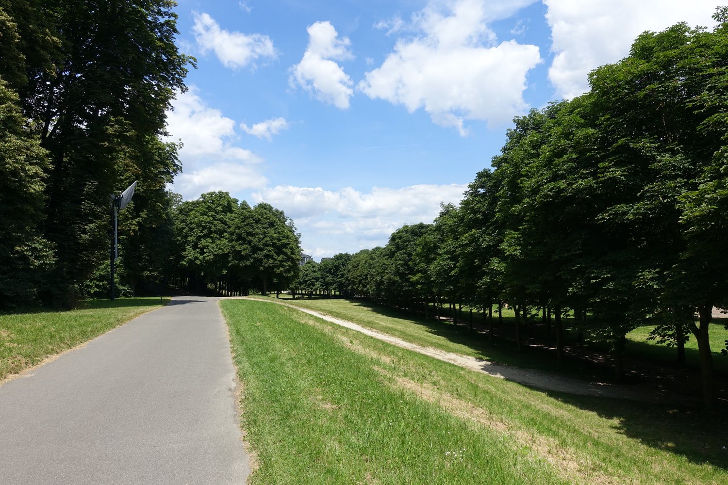
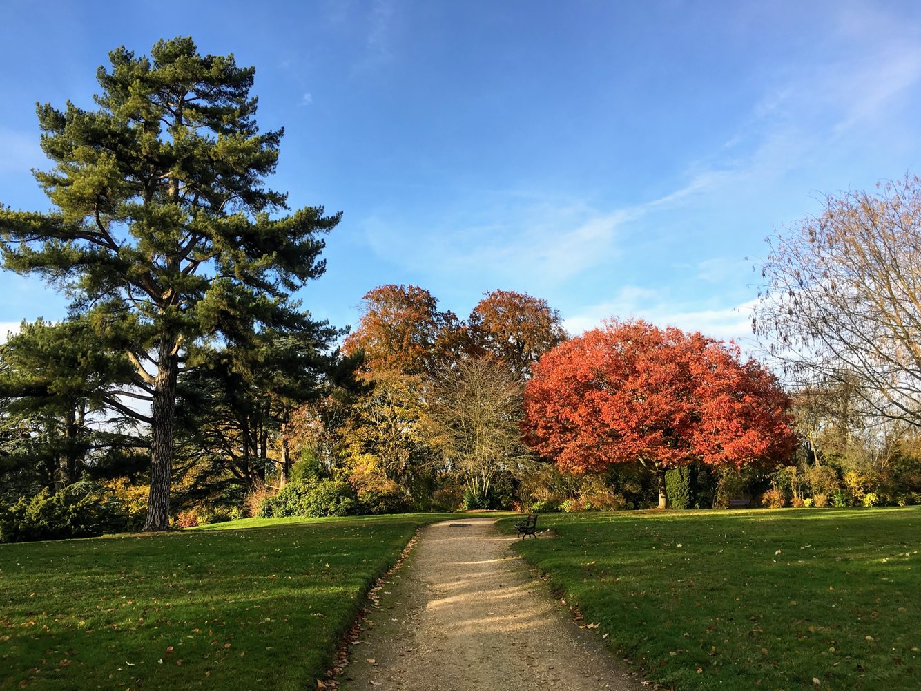
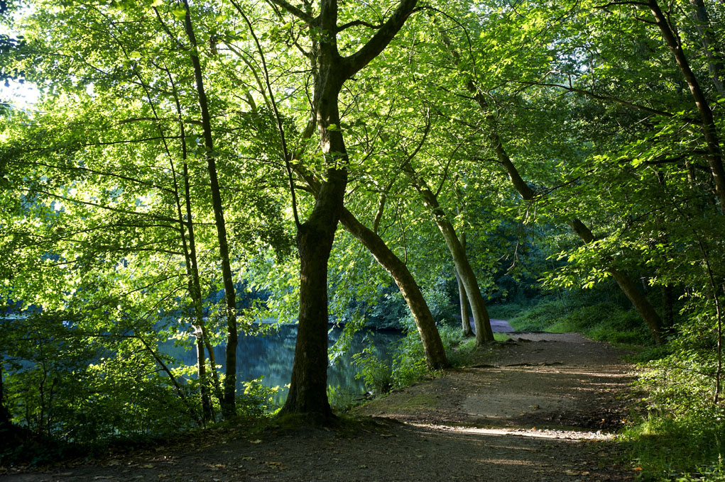
Short loop in the forest of Meudon. This area is densely covered with trails, which is an invite to get off our suggested trail.

Already more than 200,000 users!
Uphill
233m
Highest point
194m
Downhill
233m
Lowest point
108m
Route type
Loop
Download the map on your smartphone to save battery and rest assured to always keep access to the route, even without signal.
Includes IGN France and Swisstopo.
Nearby train stations: Chaville - Vélizy (RER C), Chaville-Rive-Gauche (Transilien N), and Chaville-Rive-Droite (Transiliens L et U).
I indicate whether dogs are allowed or prohibited on this trail
All year
2 ratings
Also enjoy:

Already more than 200,000 users!