Uphill
166m
Length
8km
Duration
2h30min
Elev gain
166m
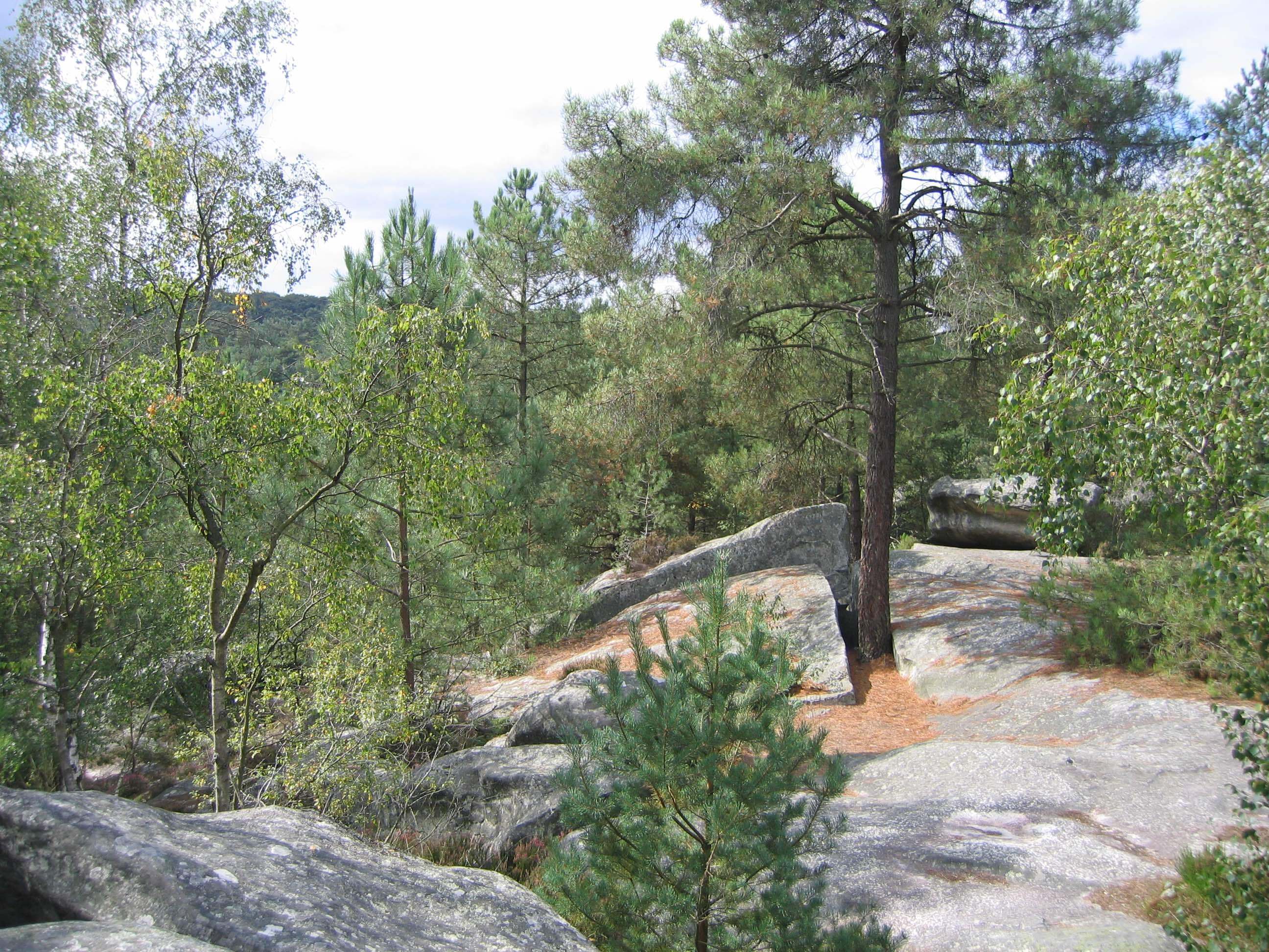
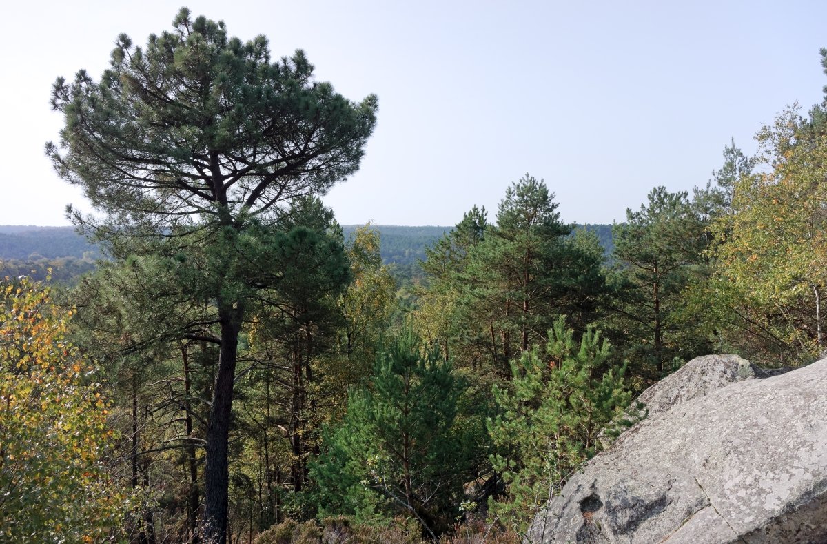
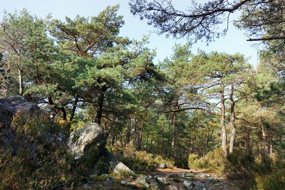
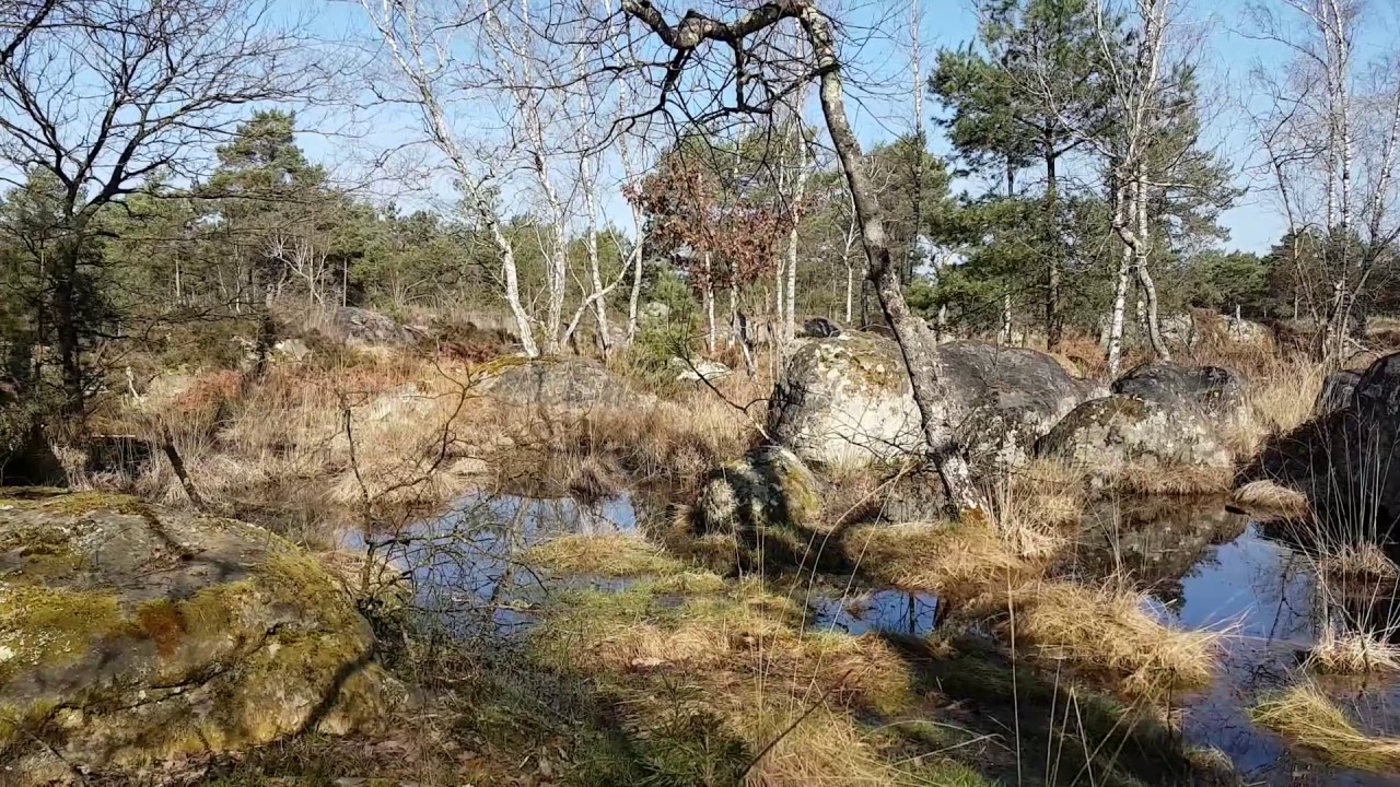
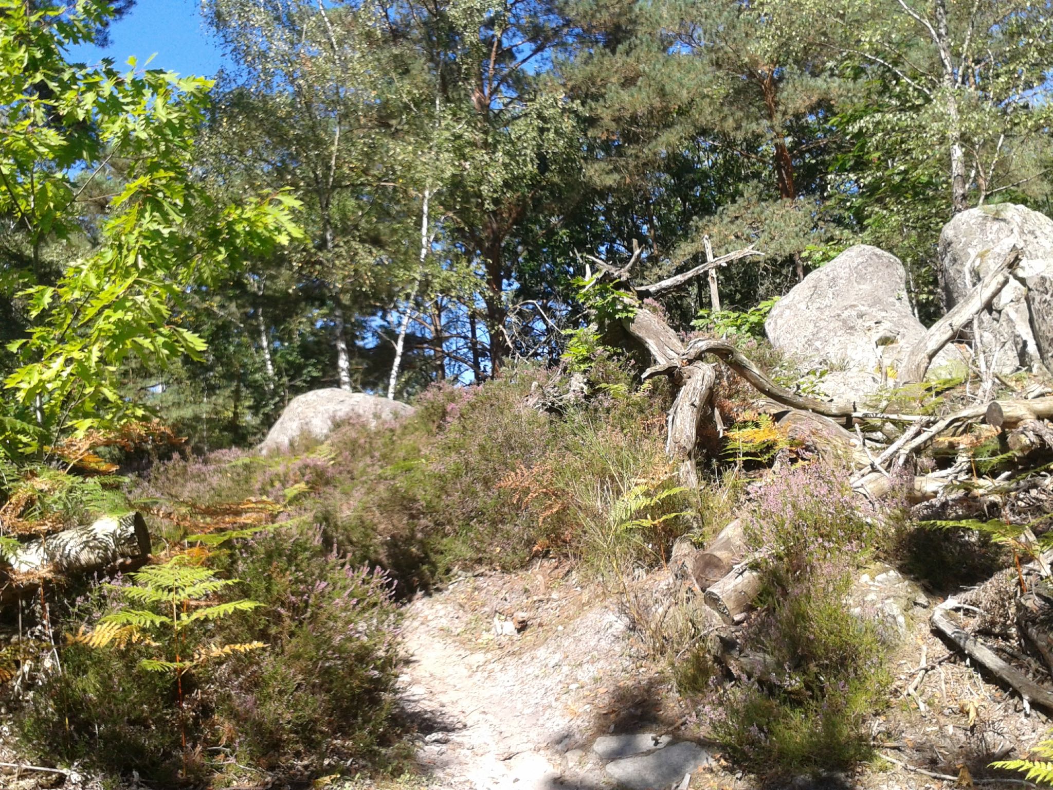
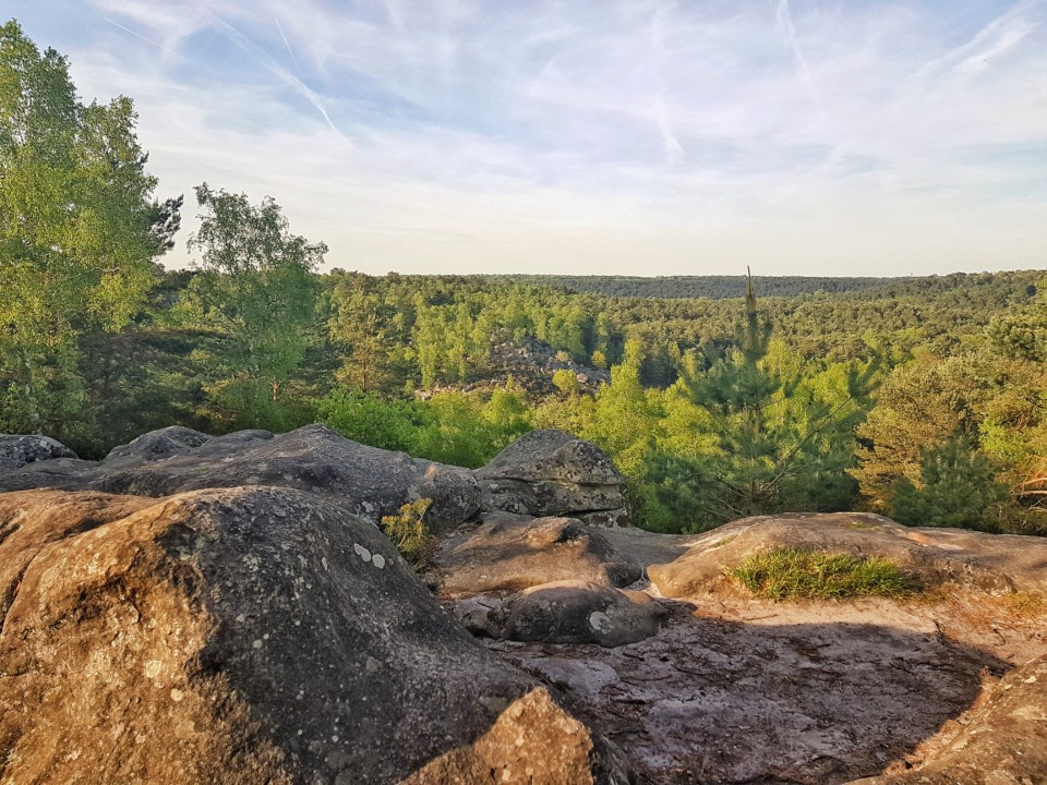
Here is one of the most famous hikes in the forest of Fontainebleau. Natural erosion has created a landscape made up of expanses of sand, valleys and caves.
In addition, the departure is located near Barbizon, a village popular with impressionist painters in the 19th century, and which today deserves a little detour.

Already more than 200,000 users!
Uphill
166m
Highest point
143m
Downhill
166m
Lowest point
85m
Route type
Loop
Download the map on your smartphone to save battery and rest assured to always keep access to the route, even without signal.
Includes IGN France and Swisstopo.
Parking des Gorges d'Apremont.
Fontainebleau or Bois-le-Roi train stations are about 8 km away.
I indicate whether dogs are allowed or prohibited on this trail
All year
13 ratings
Balade effectuée à de nombreuses reprises ! Très jolie végétation avec de nombreux pins, ainsi que les célèbres chaos rocheux de Fontainebleau.
Gros plus : la présence de Barbizon juste à côté, pour un resto ou une galerie d’art.
Also enjoy:

Already more than 200,000 users!