Uphill
111m
Length
8km
Duration
2h
Elev gain
111m
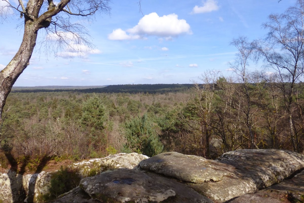
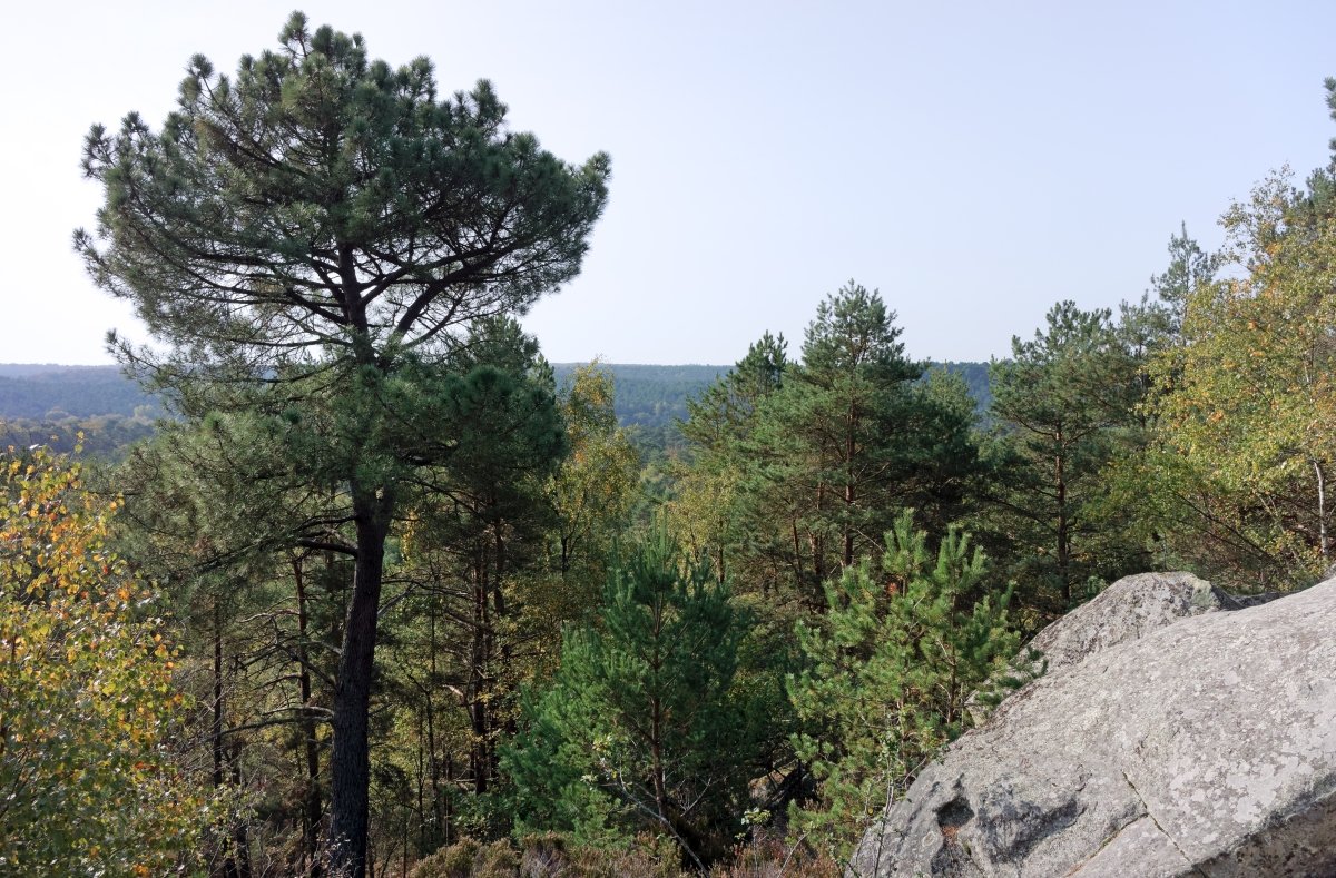
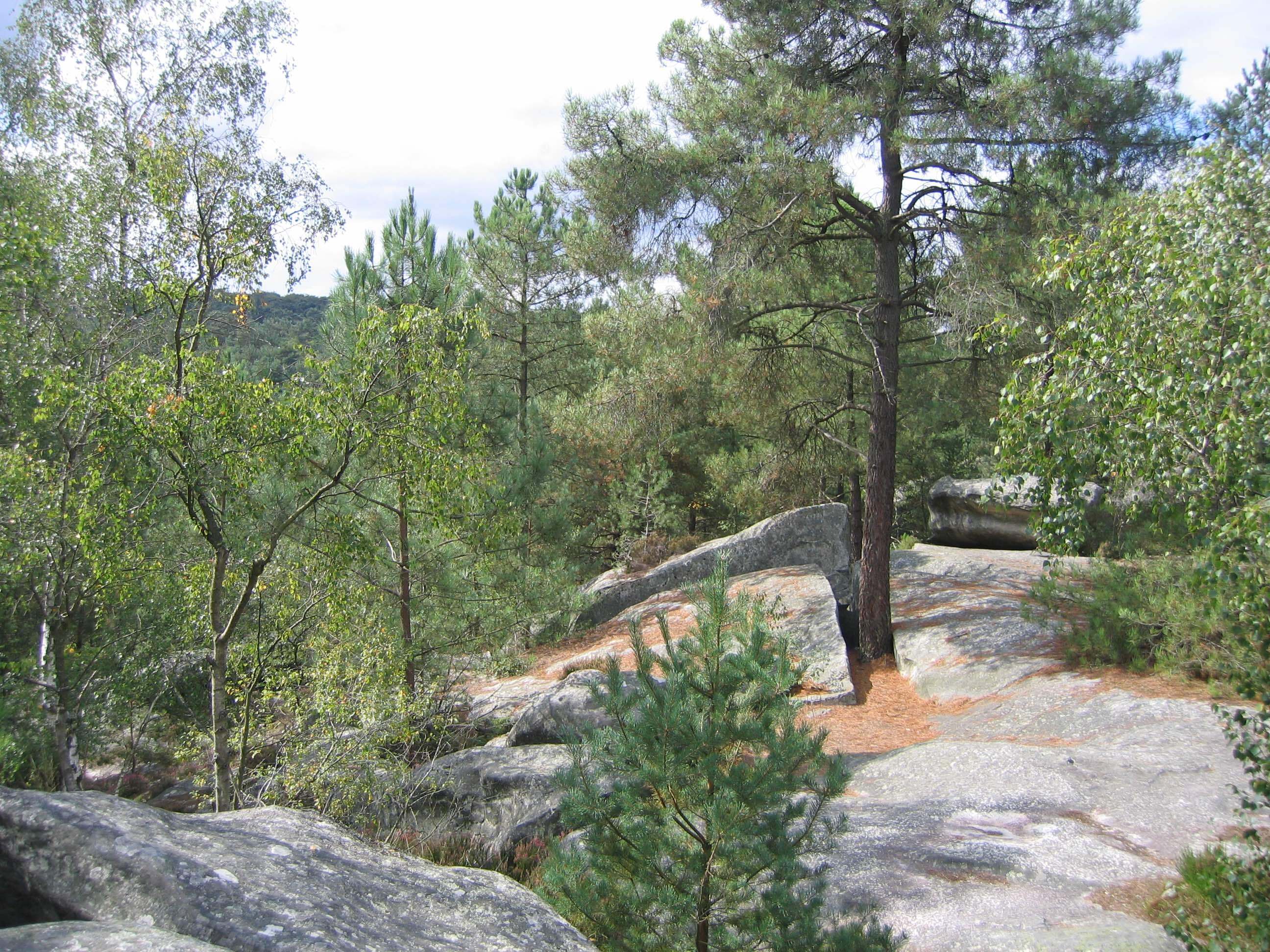
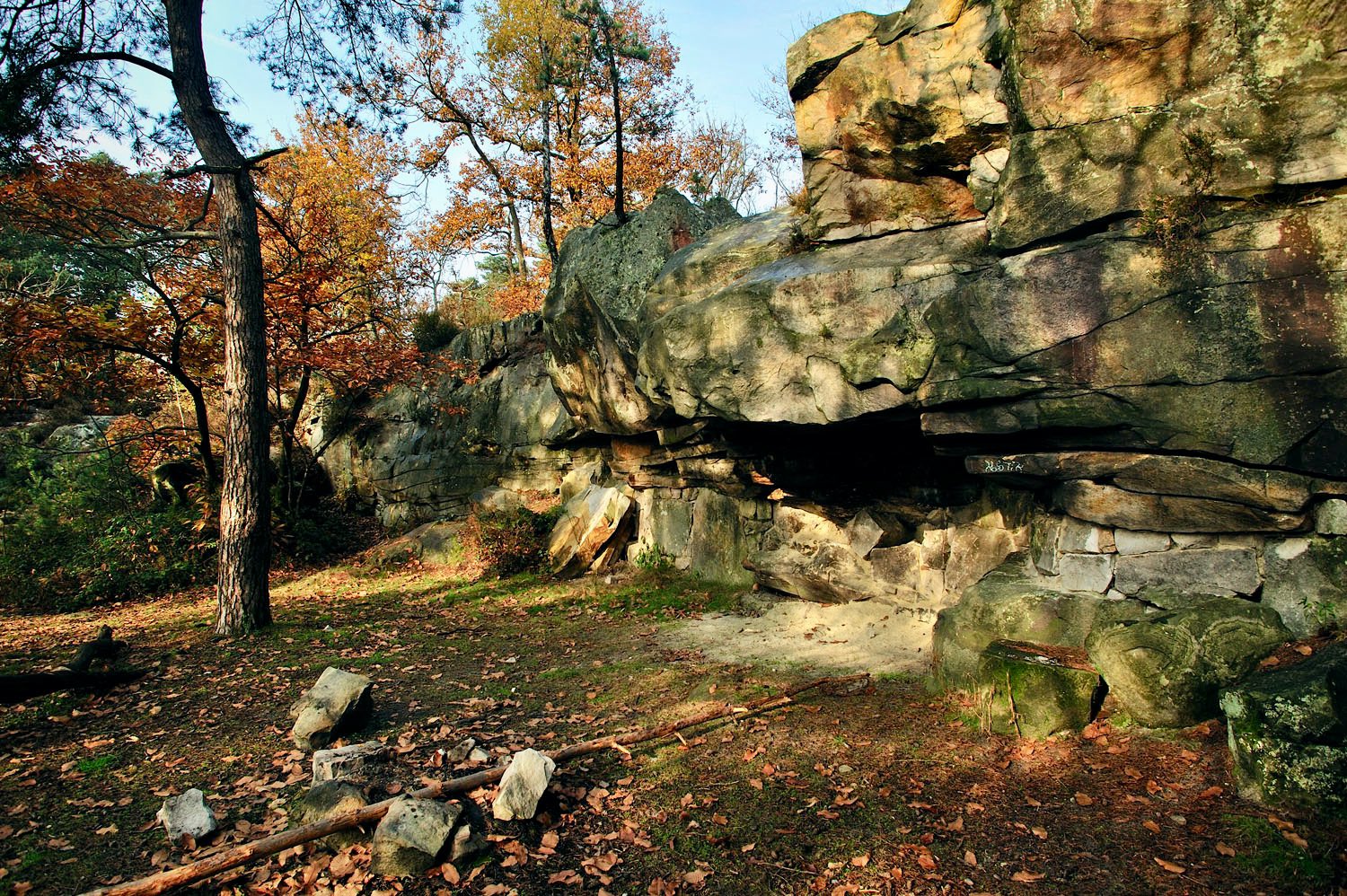
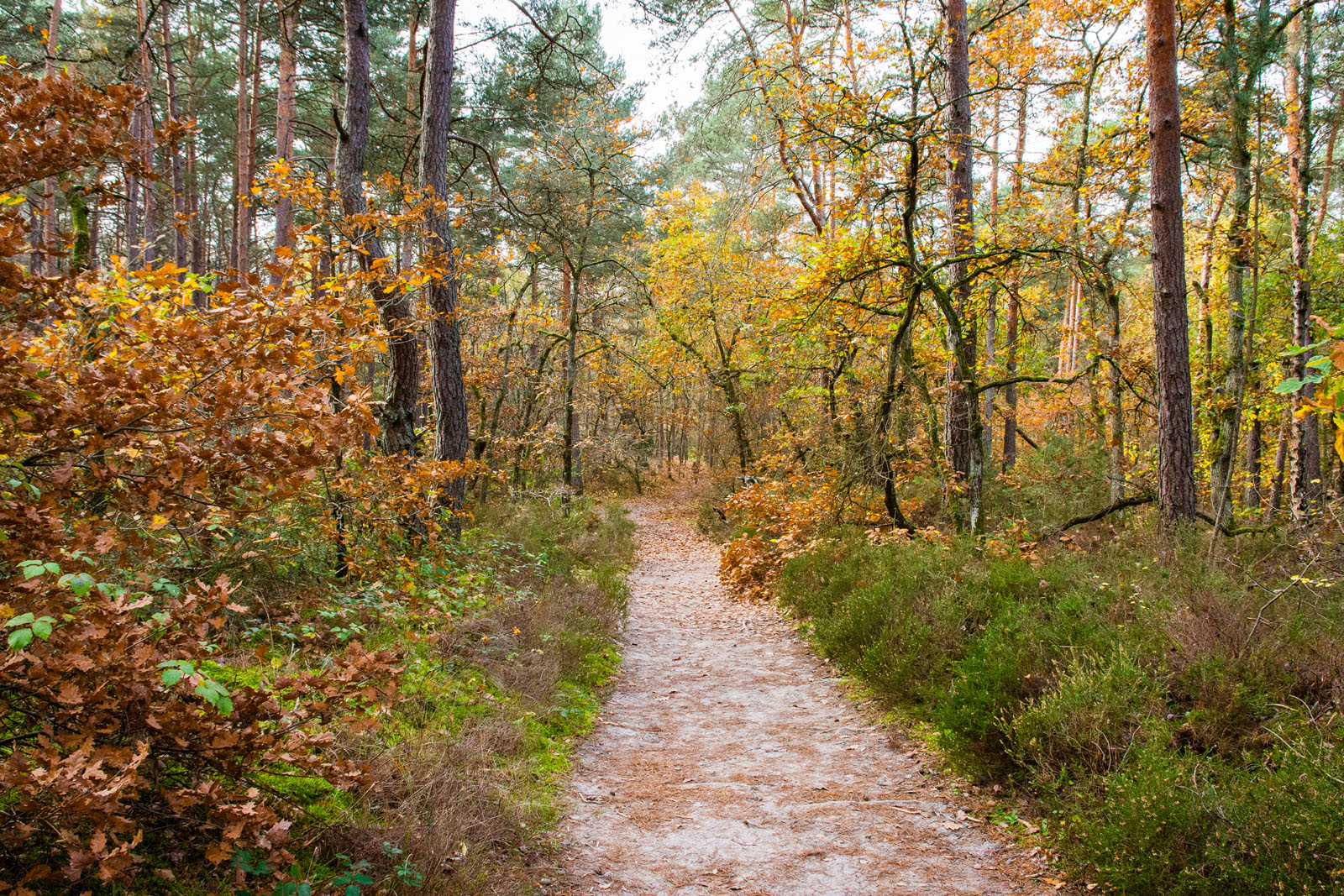
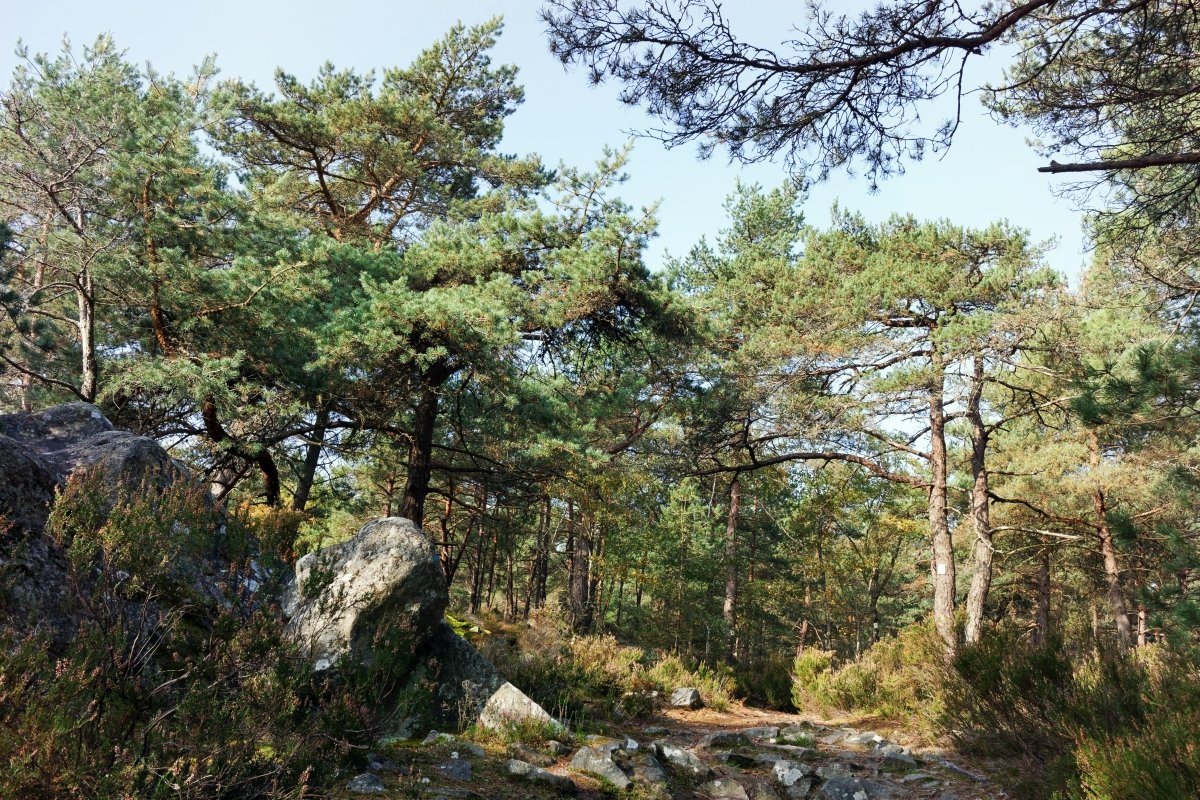
Departing from the Fontainebleau forest education center, this trail takes you to the top of Mont Aigu (123 m). Above all, it allows you to soak up the forest of Fontainebleau, with its pines, its varied landscapes and its numerous boulders.

Already more than 200,000 users!
Uphill
111m
Highest point
126m
Downhill
111m
Lowest point
73m
Route type
Loop
Download the map on your smartphone to save battery and rest assured to always keep access to the route, even without signal.
Includes IGN France and Swisstopo.
I indicate whether dogs are allowed or prohibited on this trail
All year
3 ratings
Also enjoy:

Already more than 200,000 users!