Uphill
132m
Length
7km
Duration
2h
Elev gain
132m
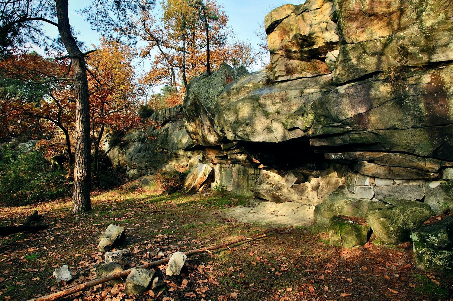
Departing from Fontainebleau station, this trail leads to the Croix du Calvaire and the Denecourt tower, both of which offer lovely views of the forest. The route is varied, and offers a glimpse of the famous rocks of Fontainebleau.
This walk corresponds to the Denecourt trail n° 2, named after the person who traced it.

Already more than 200,000 users!
Uphill
132m
Highest point
163m
Downhill
132m
Lowest point
81m
Route type
Loop
Download the map on your smartphone to save battery and rest assured to always keep access to the route, even without signal.
Includes IGN France and Swisstopo.
I indicate whether dogs are allowed or prohibited on this trail
All year
7 ratings
Also enjoy:

Already more than 200,000 users!


