Uphill
145m
Length
10km
Duration
3h
Elev gain
145m
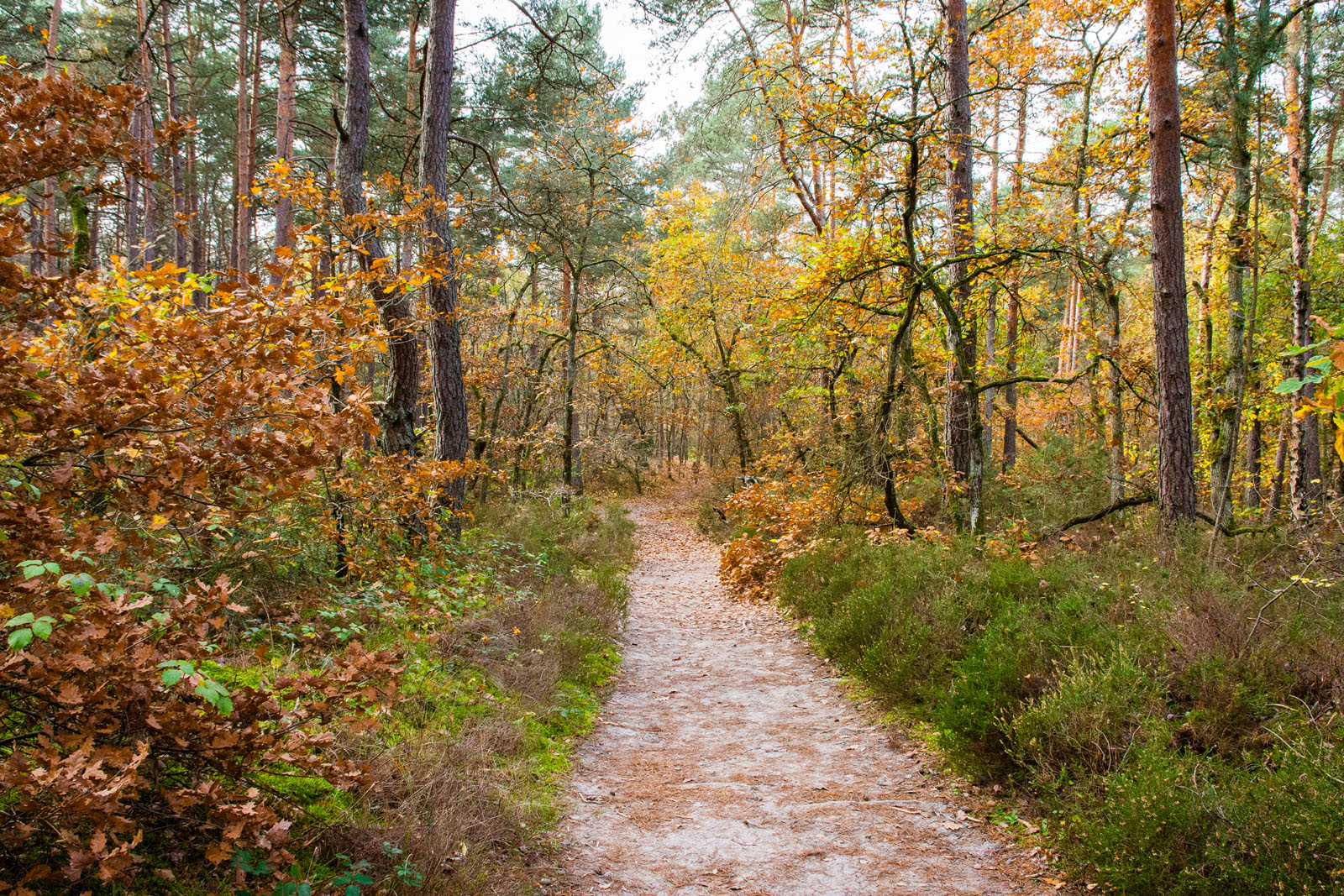
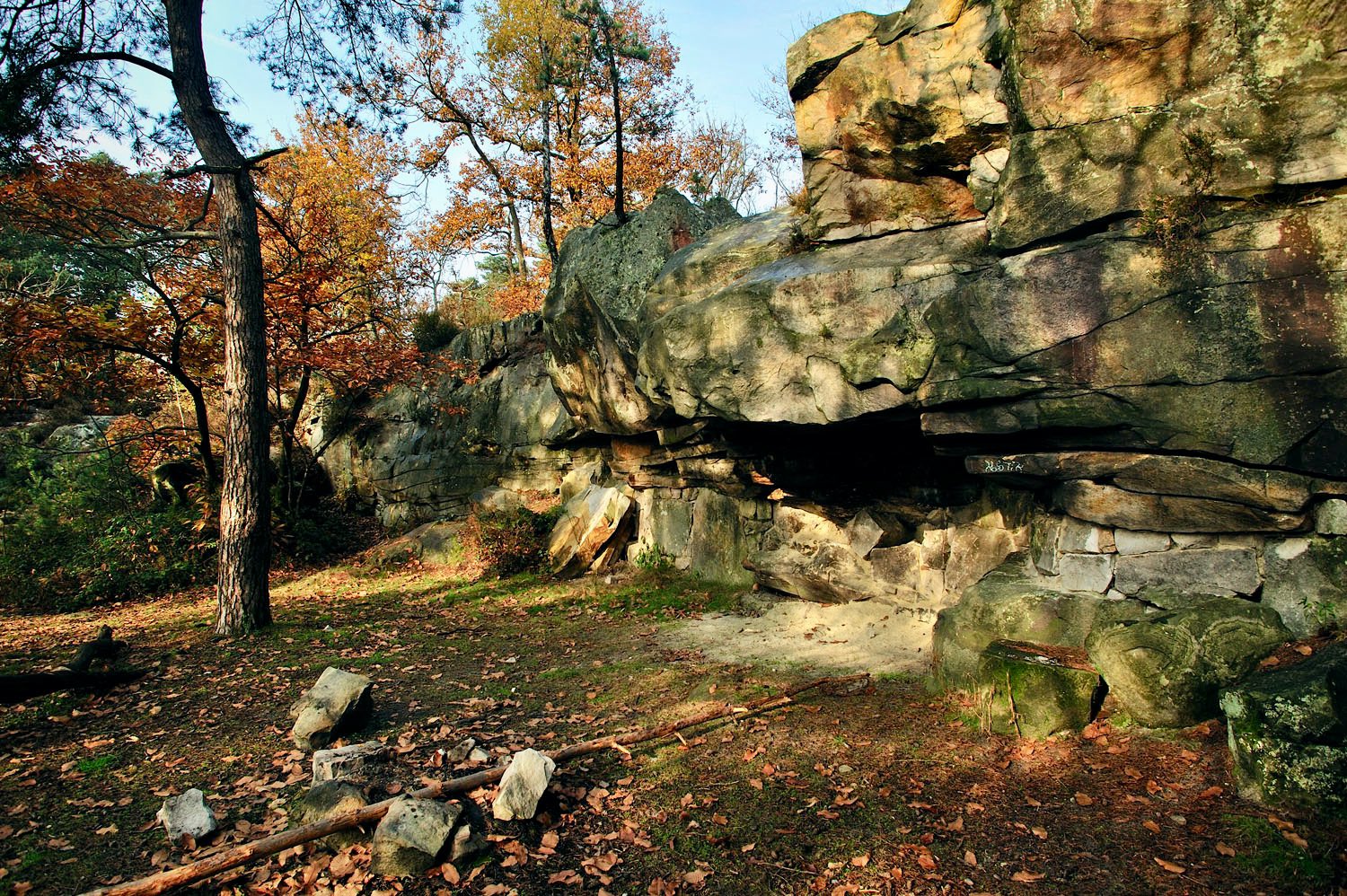
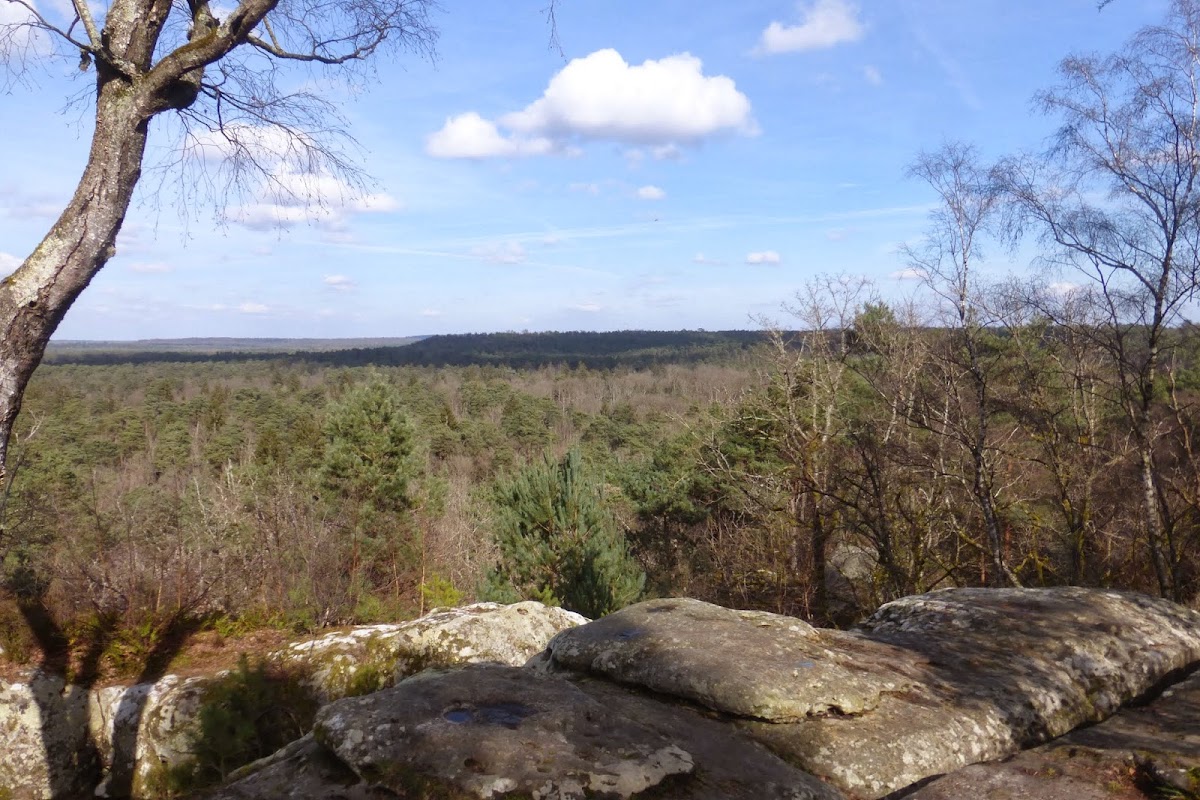
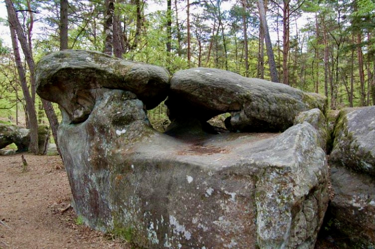
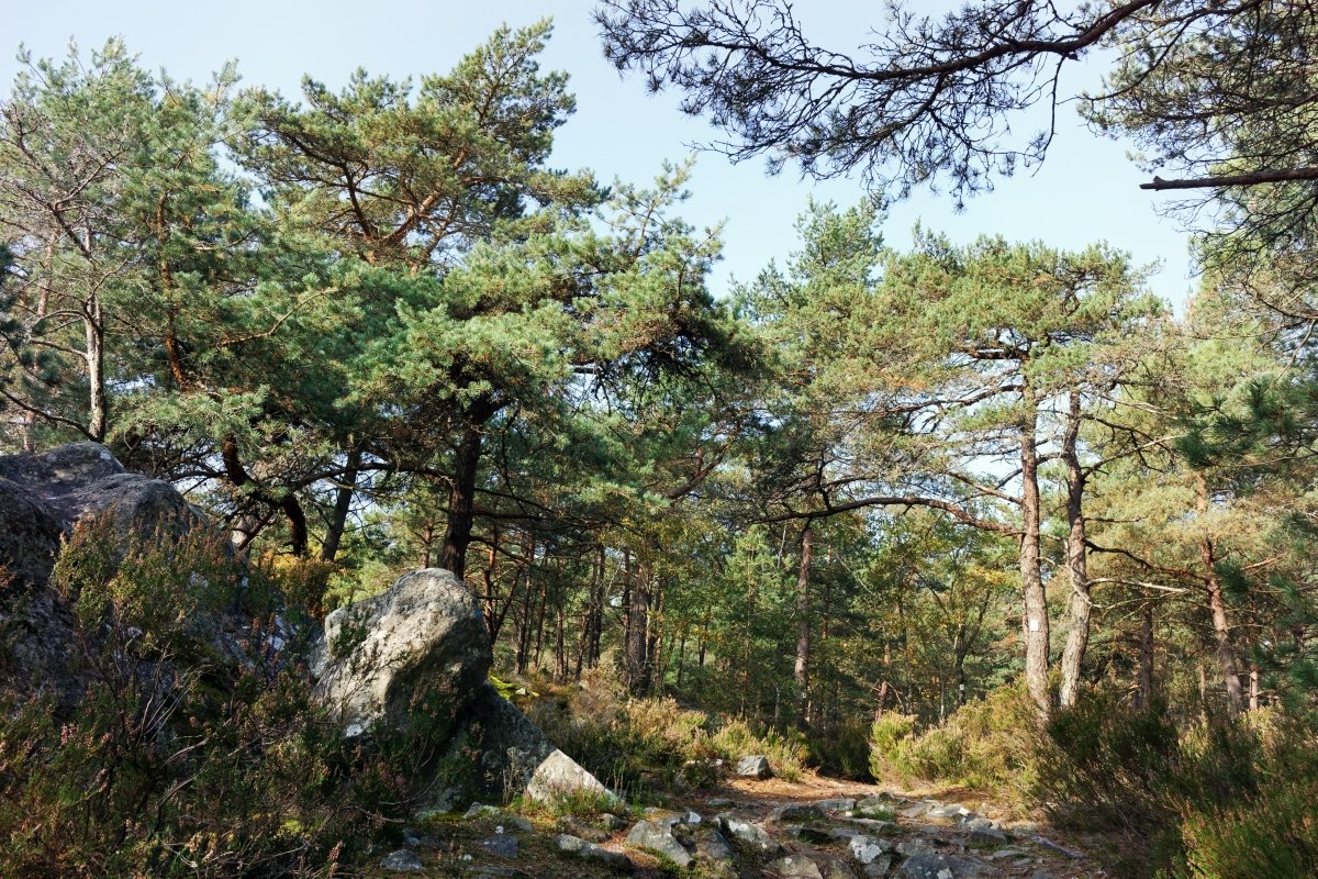
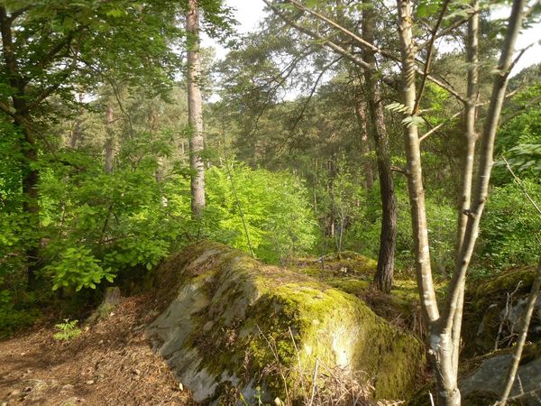
Departing from Fontainebleau station, here is an easy loop that provides beautiful views of the Pays de Bière. The path marked out in yellow is often paved, but the surrounding paths are numerous and invite you to get lost.

Already more than 200,000 users!
Uphill
145m
Highest point
163m
Downhill
145m
Lowest point
87m
Route type
Loop
Download the map on your smartphone to save battery and rest assured to always keep access to the route, even without signal.
Includes IGN France and Swisstopo.
I indicate whether dogs are allowed or prohibited on this trail
All year
3 ratings
Also enjoy:

Already more than 200,000 users!