Uphill
265m
Length
14km
Duration
4h30min
Elev gain
265m
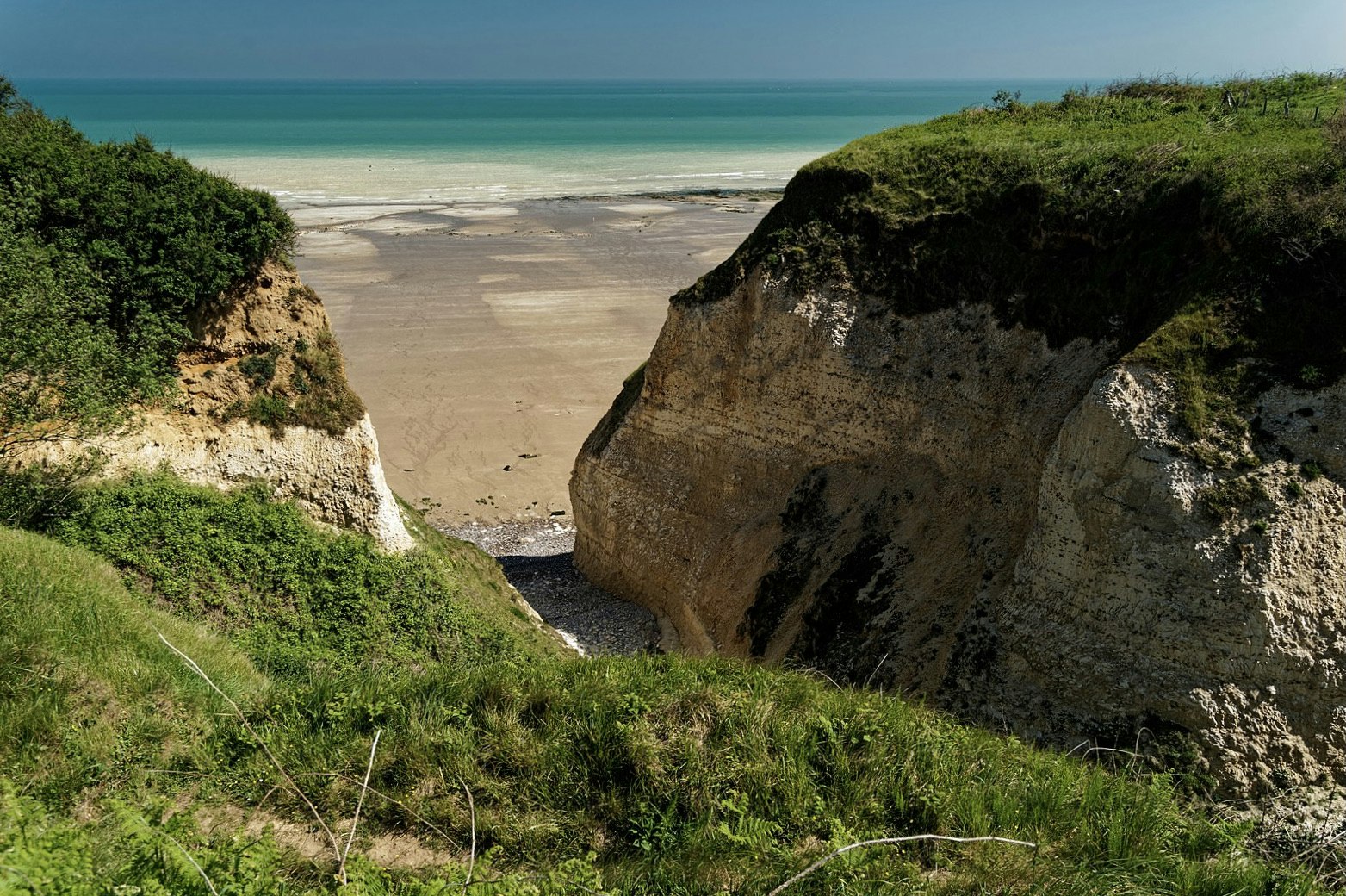
Pleasant walk in the Normandy countryside, crossing the woods of Moutiers de Vasterival and Sainte-Marguerite, and offering a glimpse of the sea at the Moutiers gorges.
Note that the route takes small roads several times.

Already more than 200,000 users!
Uphill
265m
Highest point
108m
Downhill
265m
Lowest point
9m
Route type
Loop
Download the map on your smartphone to save battery and rest assured to always keep access to the route, even without signal.
Includes IGN France and Swisstopo.
I indicate whether dogs are allowed or prohibited on this trail
All year
0 ratings
Also enjoy:

Already more than 200,000 users!


