Uphill
425m
Length
18km
Duration
5h30min
Elev gain
425m
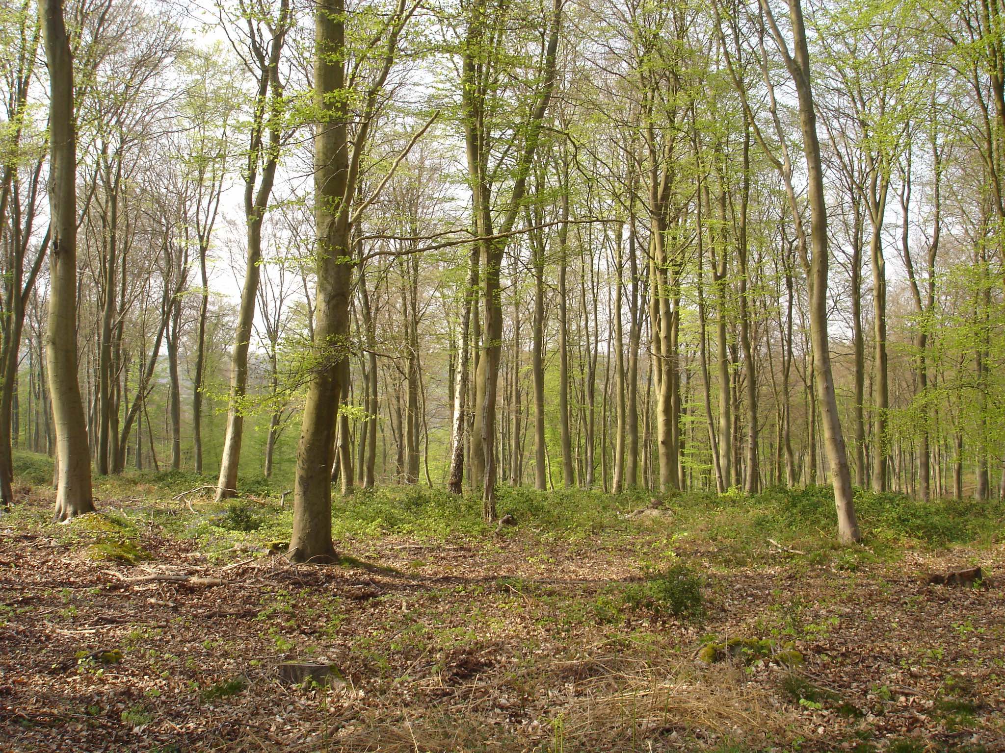
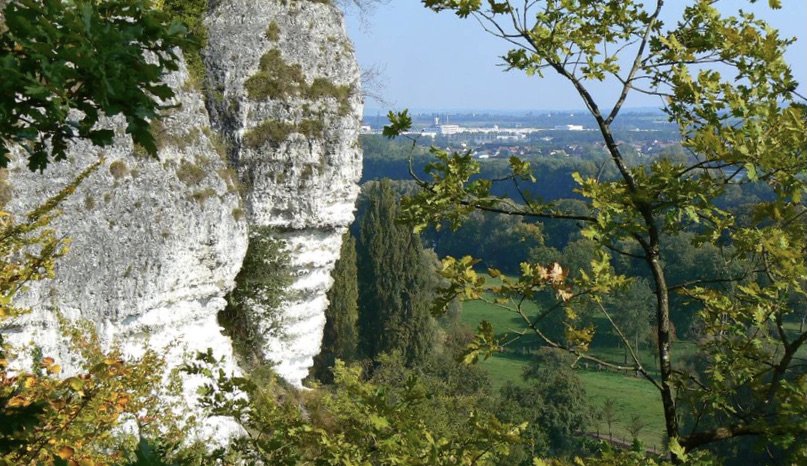
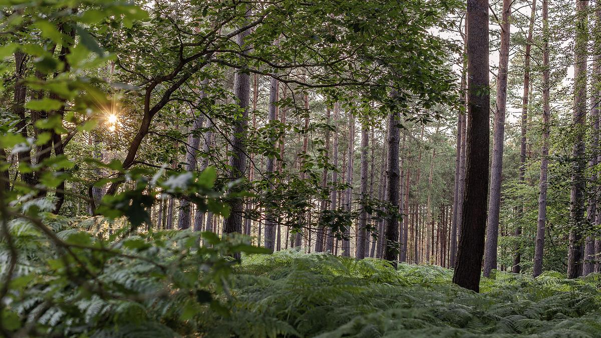
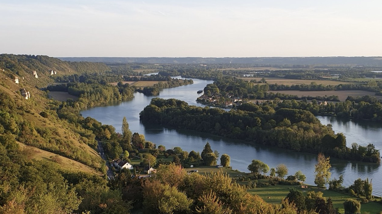
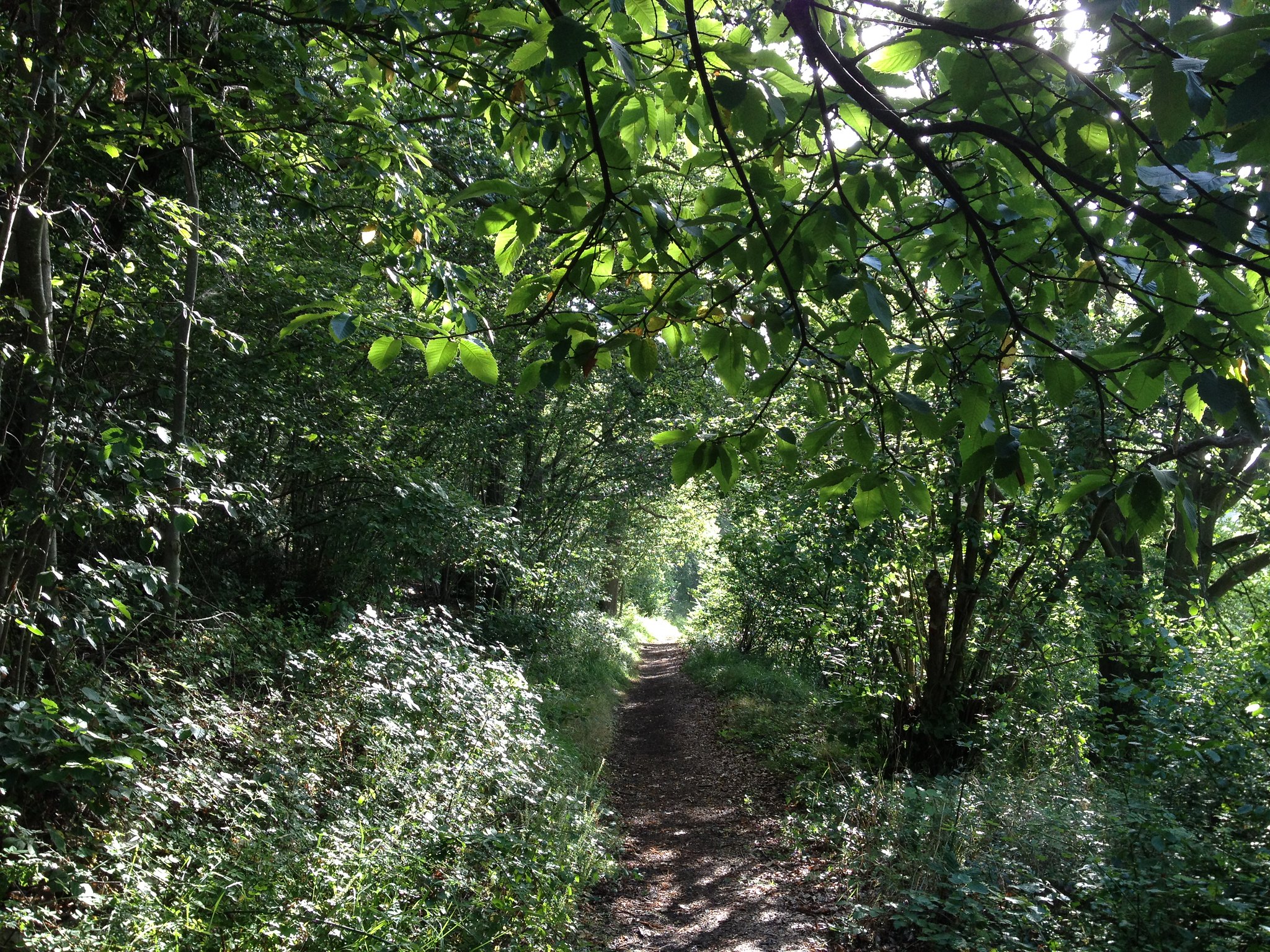
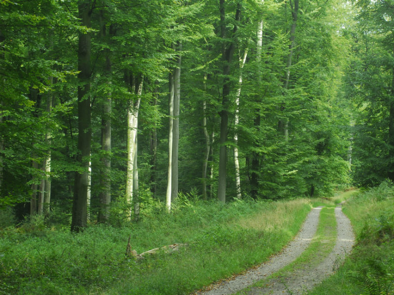
Large, fairly hilly loop, within a forest massif north of Rouen.

Already more than 200,000 users!
Uphill
425m
Highest point
205m
Downhill
425m
Lowest point
83m
Route type
Loop
Download the map on your smartphone to save battery and rest assured to always keep access to the route, even without signal.
Includes IGN France and Swisstopo.
I indicate whether dogs are allowed or prohibited on this trail
All year
0 ratings
Also enjoy:

Already more than 200,000 users!