Uphill
140m
Length
8km
Duration
2h30min
Elev gain
140m
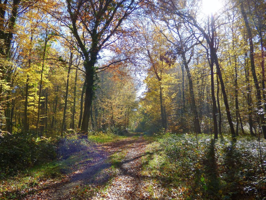
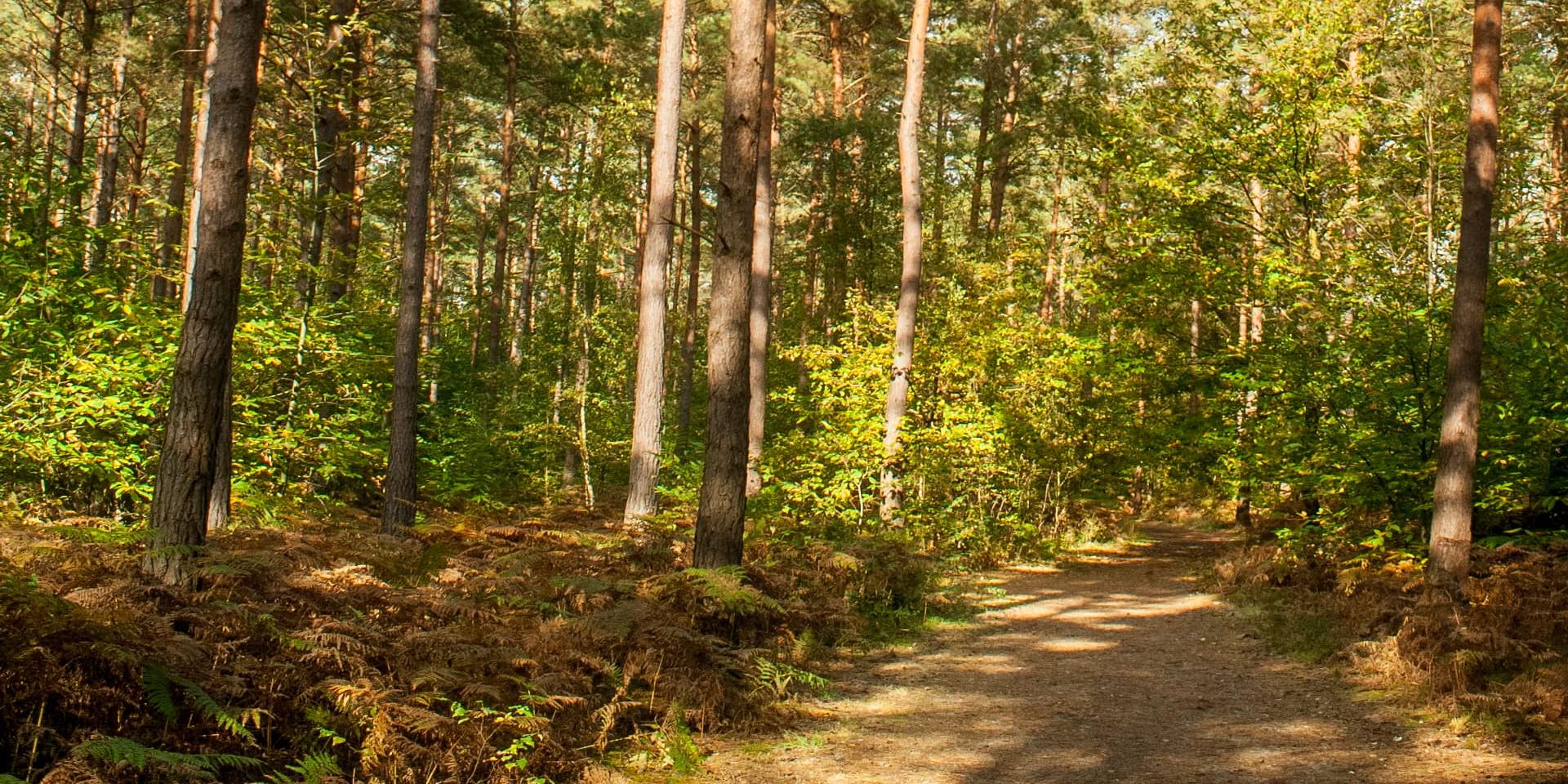
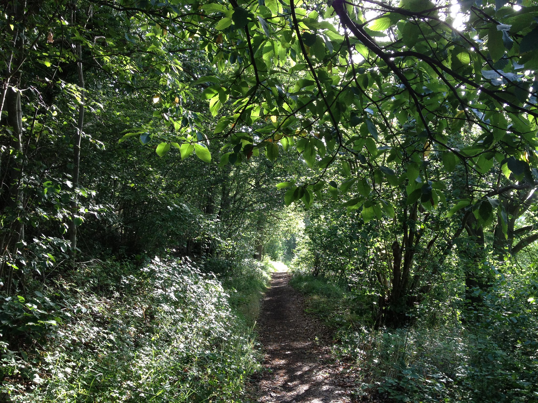
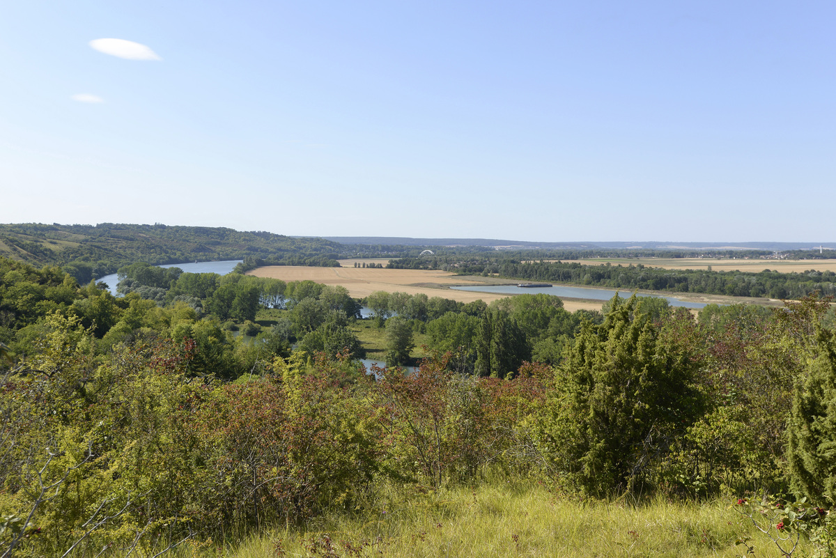
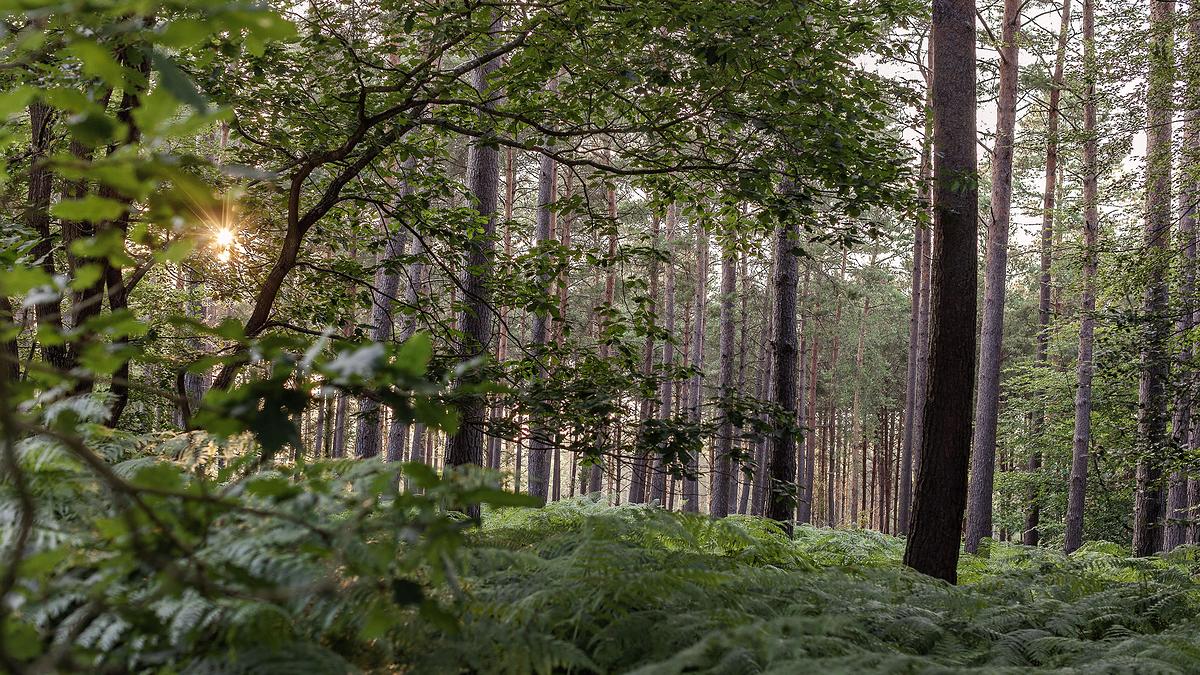
Loop hike in a beautiful pine, oak and beech forest. Possibility to adjust the walk duration as the forest is densely covered with trails.

Already more than 200,000 users!
Uphill
140m
Highest point
134m
Downhill
140m
Lowest point
50m
Route type
Loop
Download the map on your smartphone to save battery and rest assured to always keep access to the route, even without signal.
Includes IGN France and Swisstopo.
I indicate whether dogs are allowed or prohibited on this trail
All year
1 rating
Also enjoy:

Already more than 200,000 users!