Uphill
249m
Length
8km
Duration
2h30min
Elev gain
249m
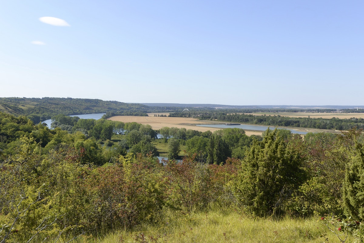
Departing from Heudebouville, a marked path leaves the plateau to reach the banks of the Seine through the undergrowth.
Note that the circuit also crosses several hamlets by taking roads.

Already more than 200,000 users!
Uphill
249m
Highest point
157m
Downhill
249m
Lowest point
5m
Route type
Loop
Download the map on your smartphone to save battery and rest assured to always keep access to the route, even without signal.
Includes IGN France and Swisstopo.
I indicate whether dogs are allowed or prohibited on this trail
All year
0 ratings
Also enjoy:

Already more than 200,000 users!


