Uphill
362m
Length
5km
Duration
2h30min
Elev gain
362m
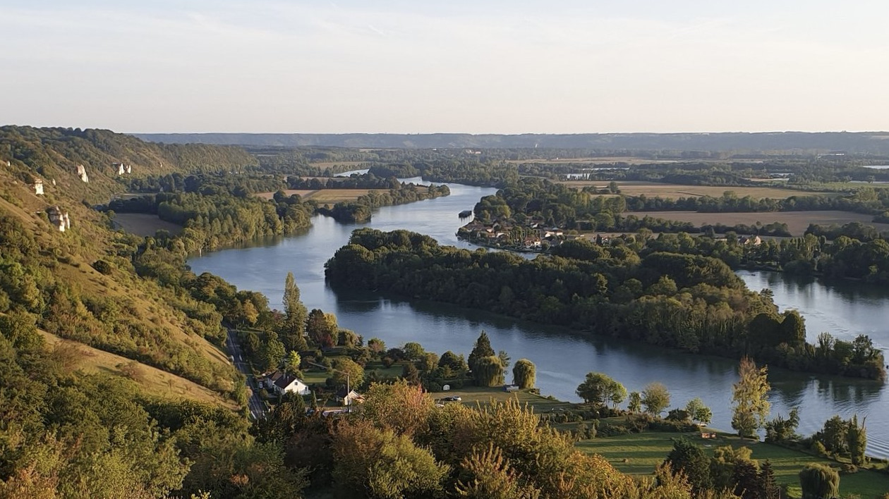
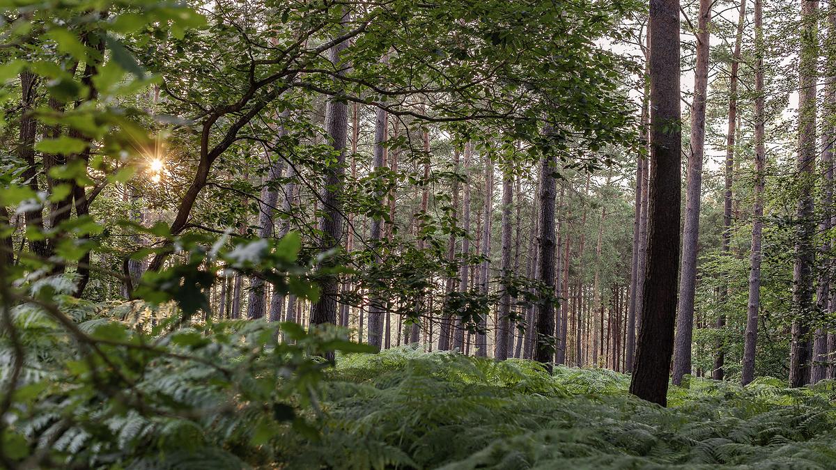
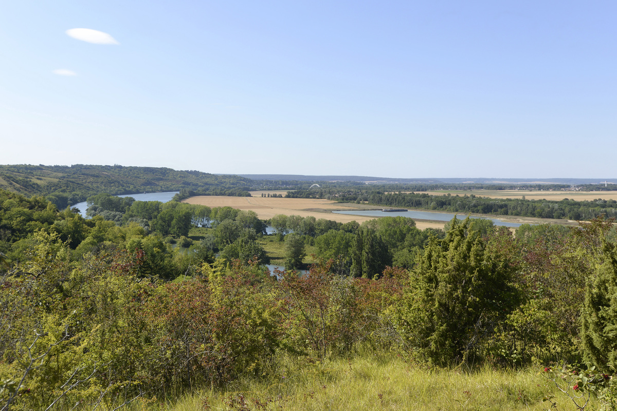
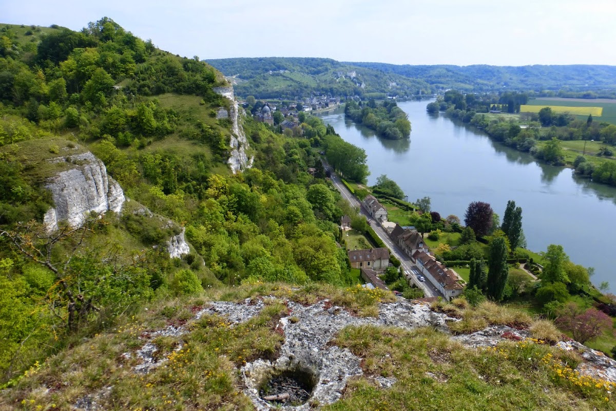
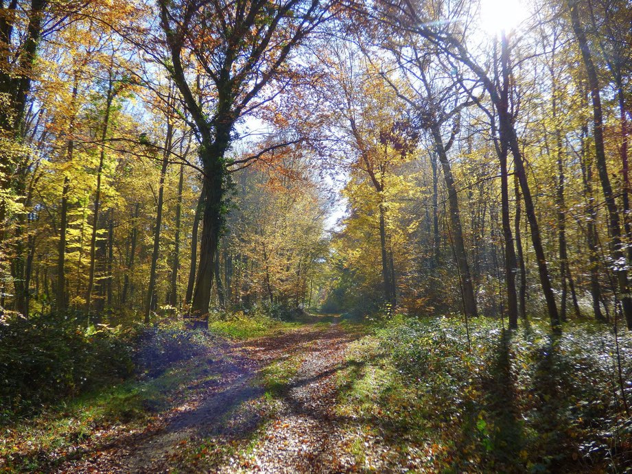
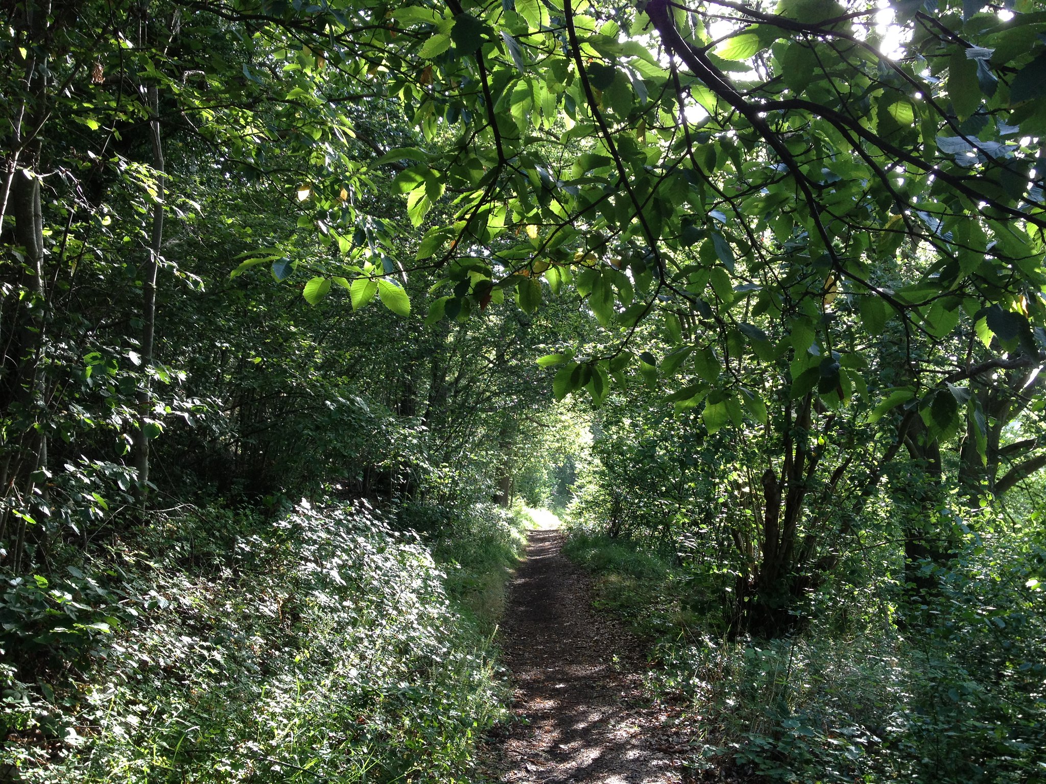
Here is a hike mainly in the forest which offers lovely views of the Seine valley.
However, it should be noted that the end of the loop is quite steep and can be complicated for children.

Already more than 200,000 users!
Uphill
362m
Highest point
148m
Downhill
362m
Lowest point
14m
Route type
Loop
Download the map on your smartphone to save battery and rest assured to always keep access to the route, even without signal.
Includes IGN France and Swisstopo.
I indicate whether dogs are allowed or prohibited on this trail
All year
1 rating
Also enjoy:

Already more than 200,000 users!