Uphill
295m
Length
13km
Duration
4h
Elev gain
295m
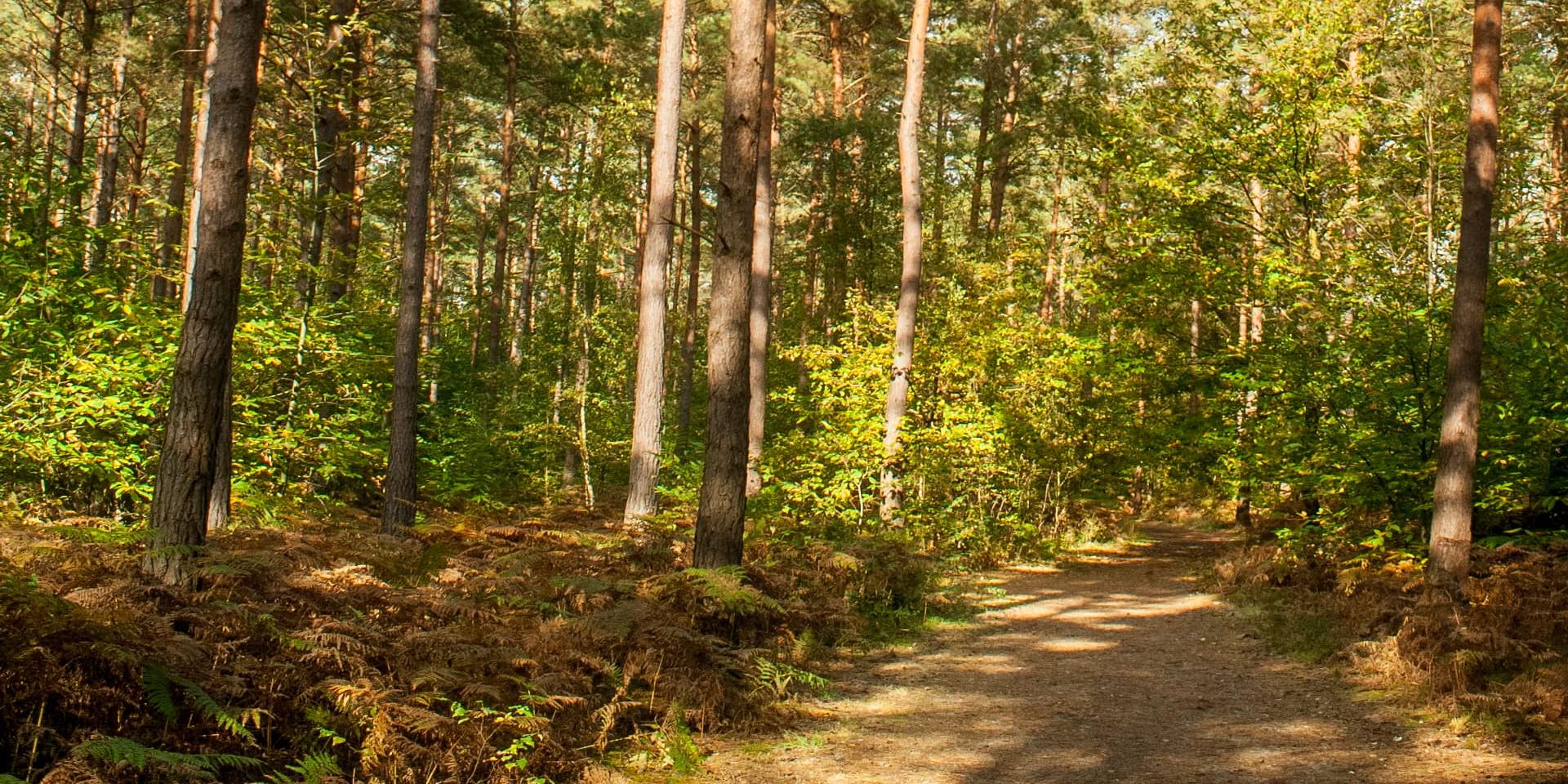
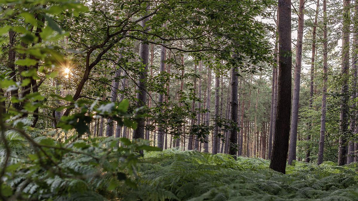
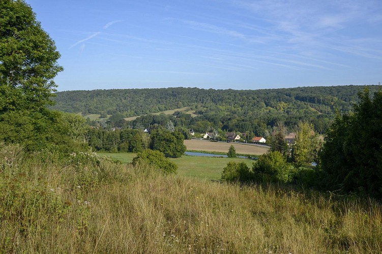
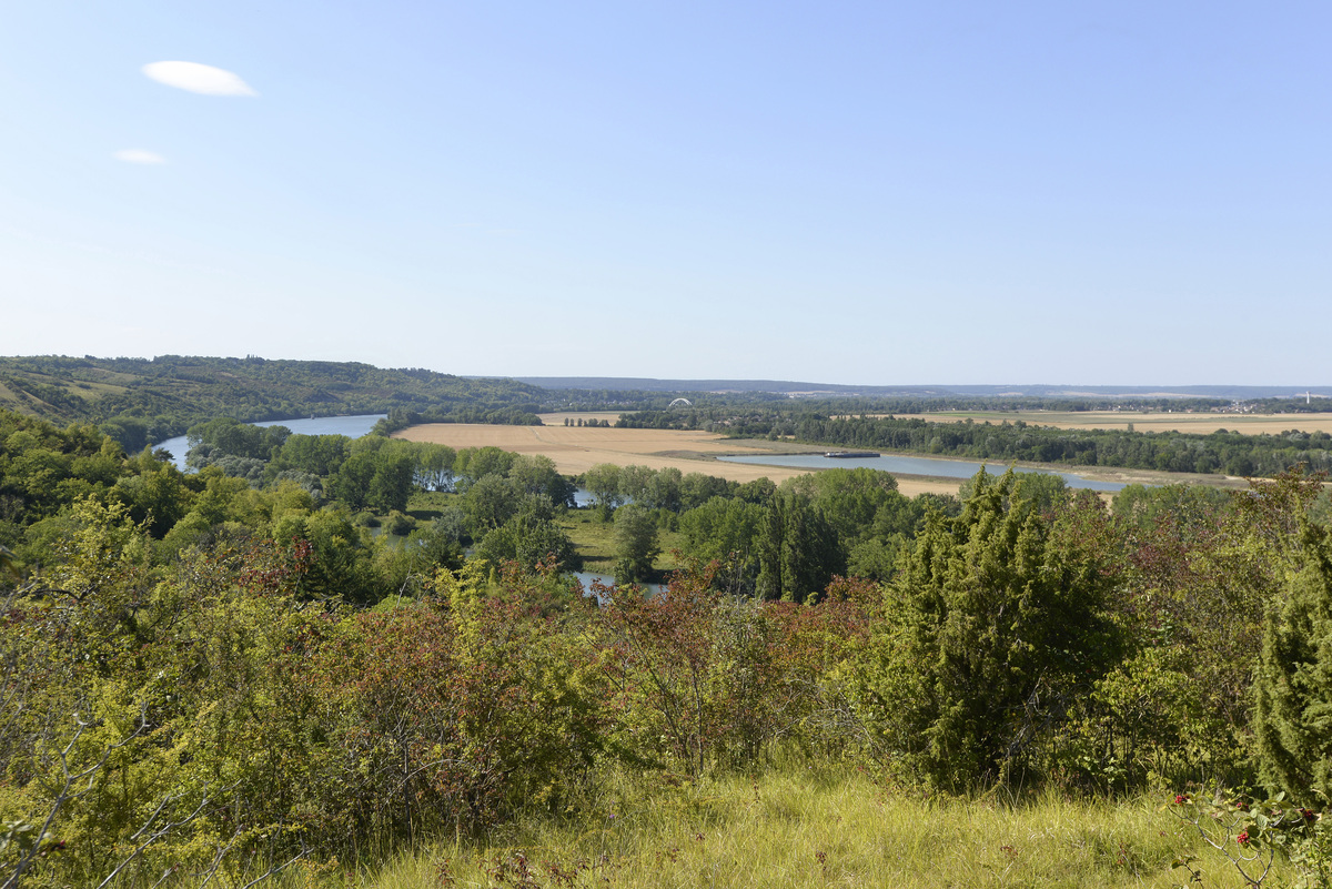
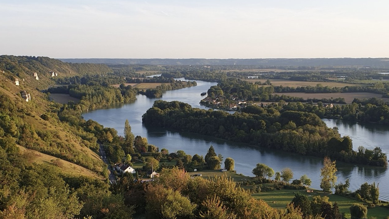
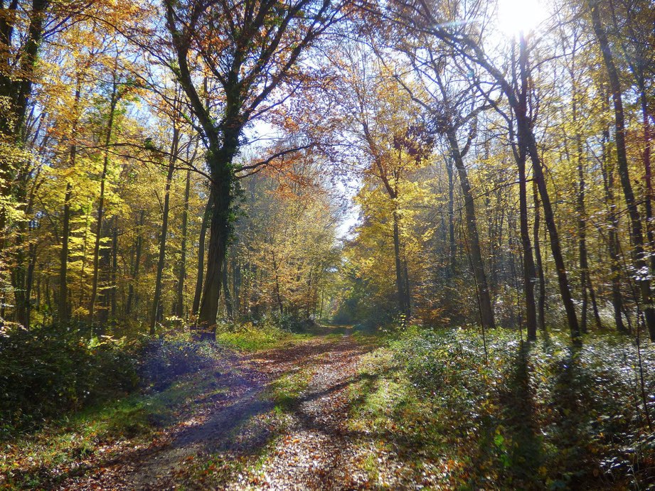
This circuit allows you to discover a valley, and thus adds elevation to the beautiful vegetation of the Bord-Louviers forest.

Already more than 200,000 users!
Uphill
295m
Highest point
143m
Downhill
295m
Lowest point
9m
Route type
Loop
Download the map on your smartphone to save battery and rest assured to always keep access to the route, even without signal.
Includes IGN France and Swisstopo.
I indicate whether dogs are allowed or prohibited on this trail
All year
0 ratings
Also enjoy:

Already more than 200,000 users!