Uphill
311m
Length
6km
Duration
2h30min
Elev gain
311m
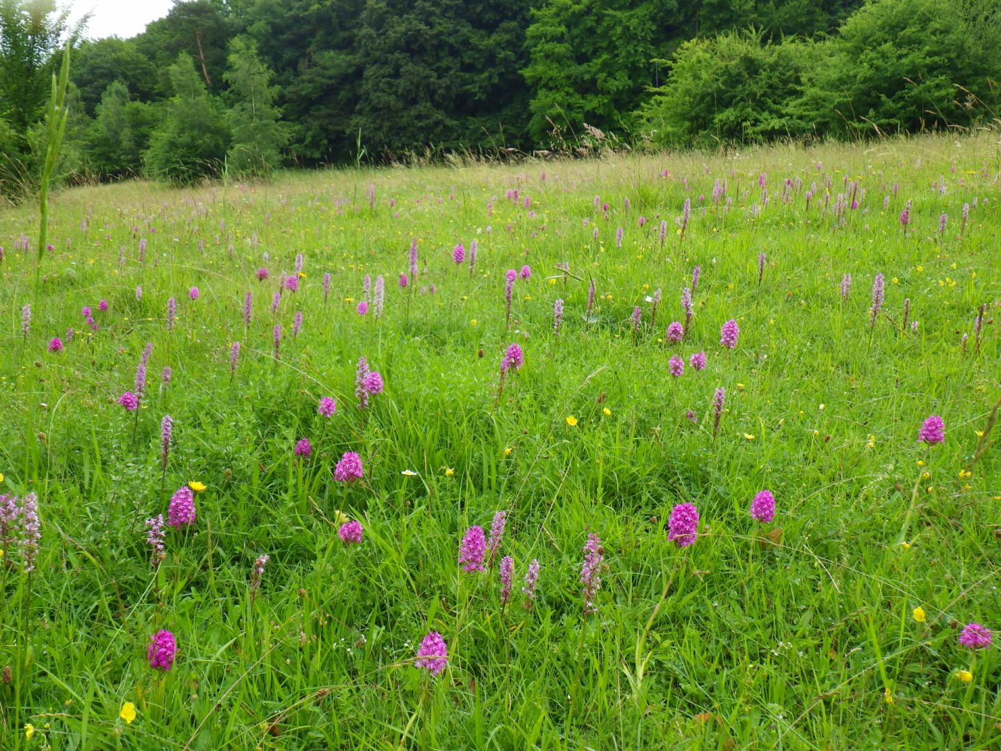
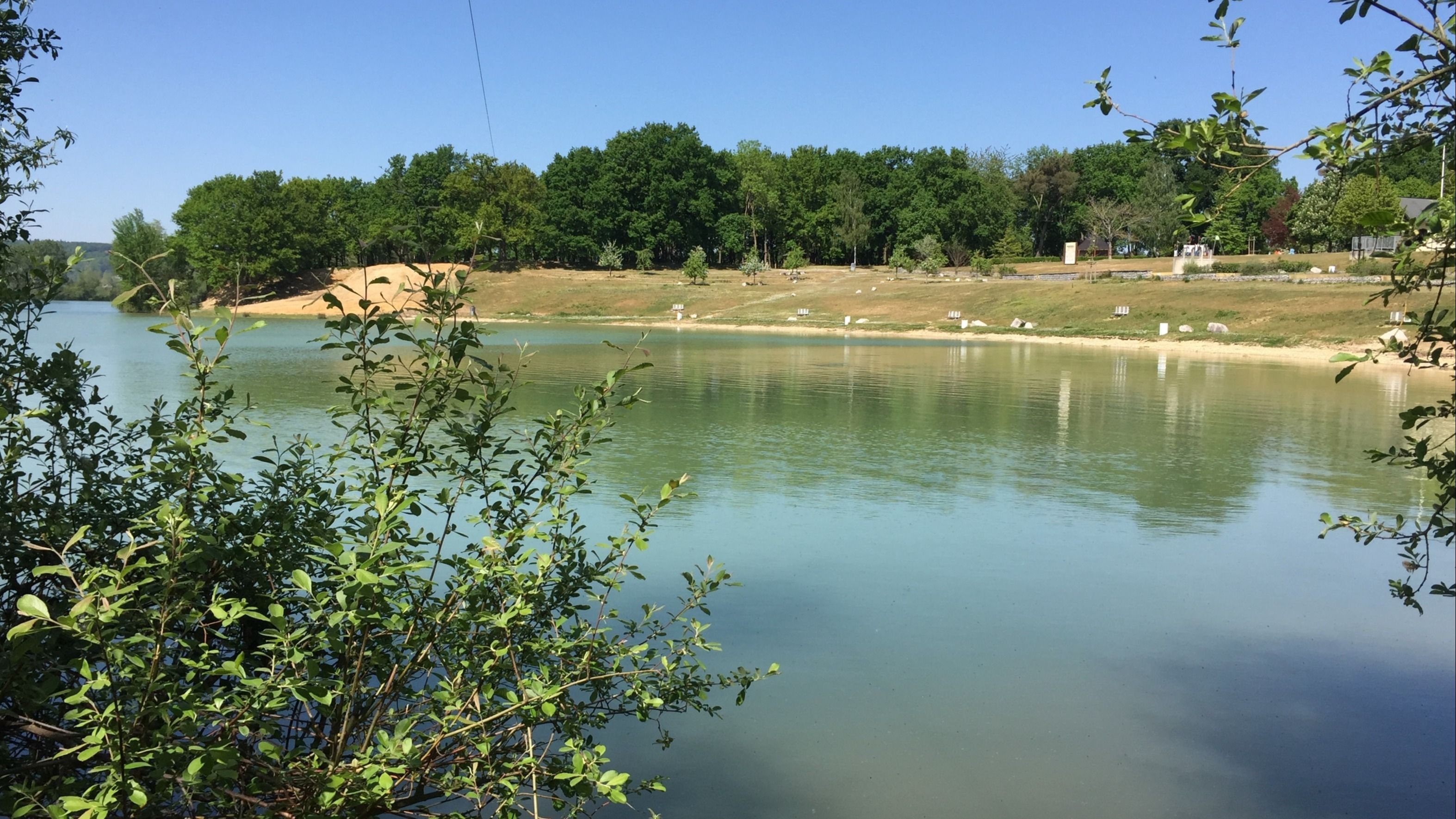
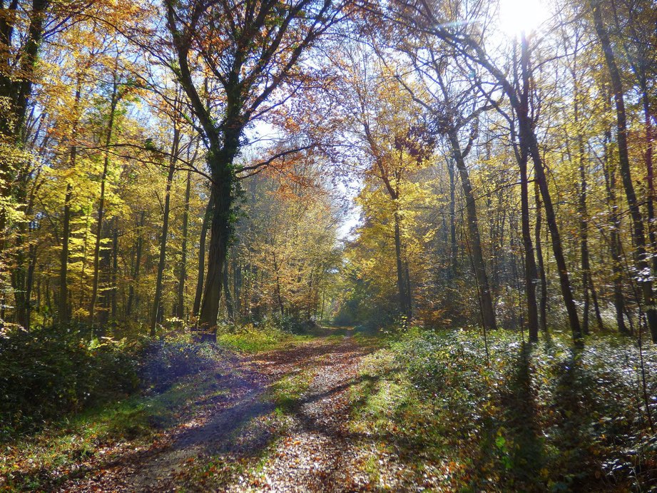
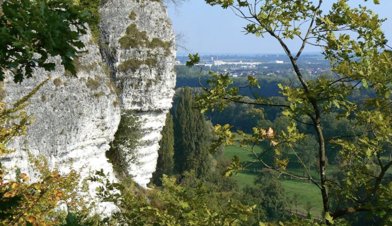
This is a stroll along the white cliffs of Orival, overlooking the Seine and offering pretty views.
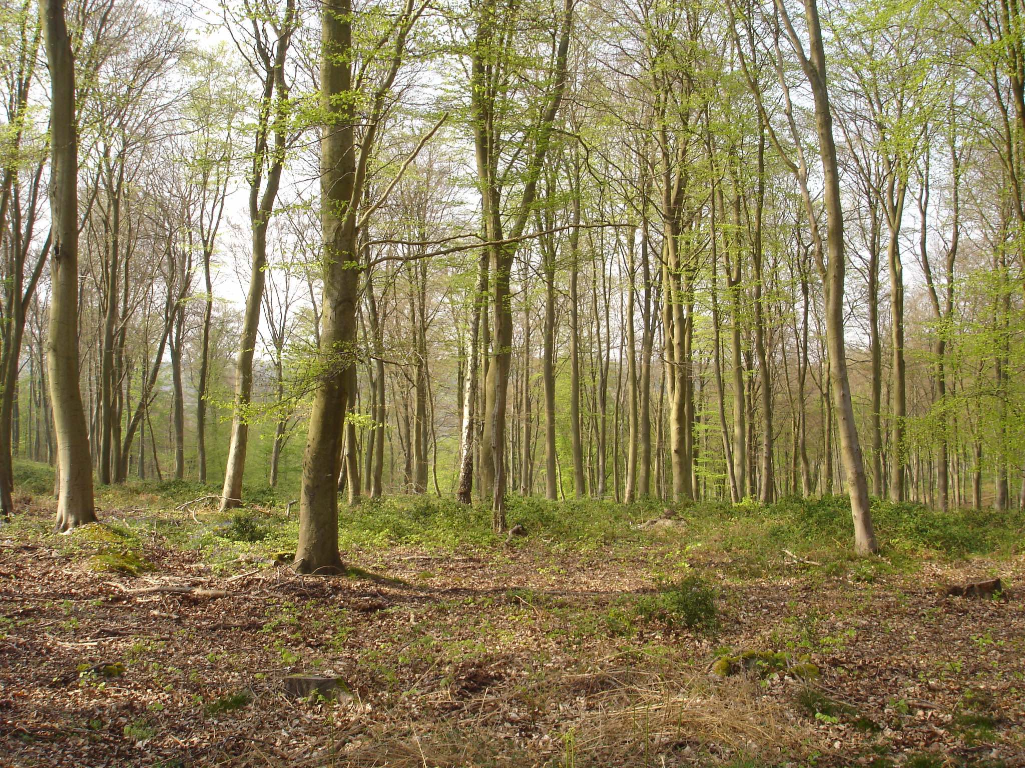
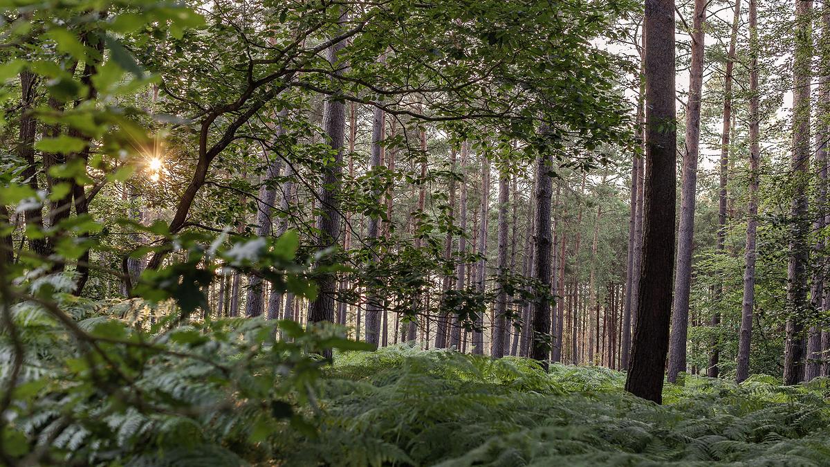
Also on the program: cave dwellings and a forest with rich biodiversity.

Already more than 200,000 users!
Uphill
311m
Highest point
148m
Downhill
311m
Lowest point
15m
Route type
Loop
Download the map on your smartphone to save battery and rest assured to always keep access to the route, even without signal.
Includes IGN France and Swisstopo.
3 ratings
Randonnée bucolique à faire en famille 😁
Also enjoy:

Already more than 200,000 users!