Uphill
221m
Length
10km
Duration
3h
Elev gain
221m
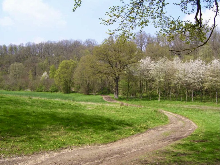
This walk near Évreux crosses the Bois de Saint-Michel to Gauville-la-Campagne, before returning by the greenway connecting the Bec valley to Évreux.

Already more than 200,000 users!
Uphill
221m
Highest point
149m
Downhill
221m
Lowest point
70m
Route type
Loop
Download the map on your smartphone to save battery and rest assured to always keep access to the route, even without signal.
Includes IGN France and Swisstopo.
I indicate whether dogs are allowed or prohibited on this trail
All year
1 rating
Also enjoy:

Already more than 200,000 users!


