Uphill
63m
Length
6km
Duration
1h30min
Elev gain
63m
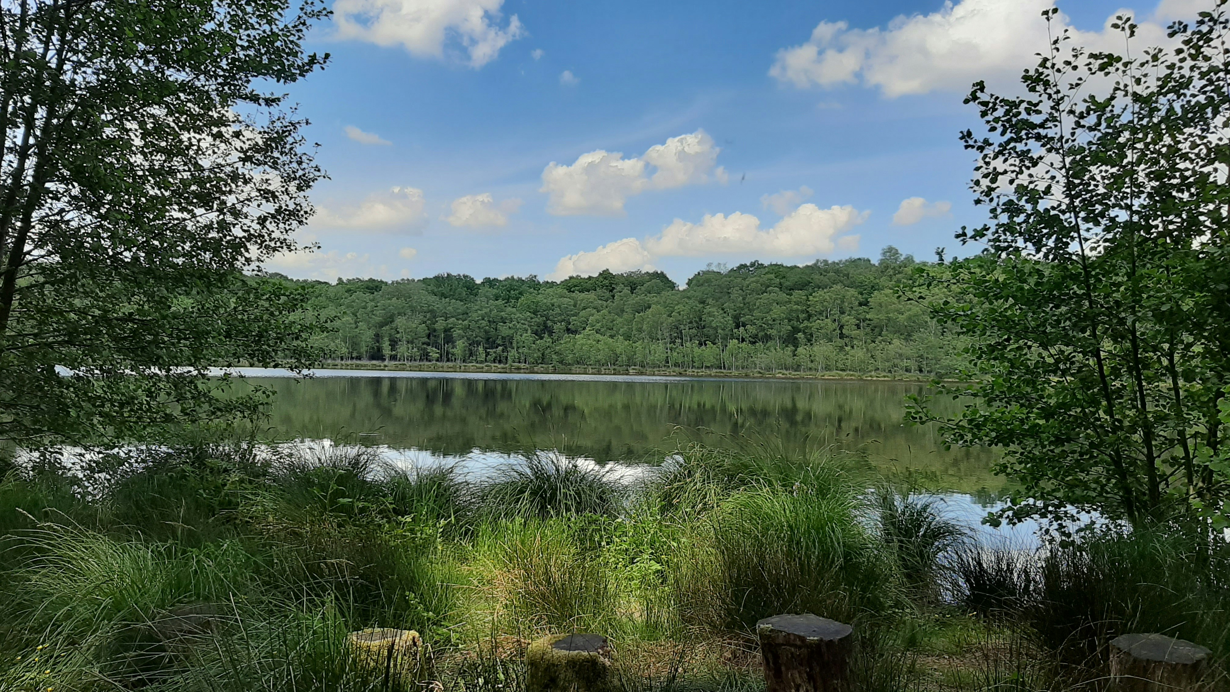
Pretty walk in the heart of the Andaine forest, leading to the Ermitage ponds. Note that the path is sometimes overgrown, which can make identification difficult. In addition, the last kilometer is on a road through the forest.

Already more than 200,000 users!
Uphill
63m
Highest point
280m
Downhill
63m
Lowest point
228m
Route type
Loop
Download the map on your smartphone to save battery and rest assured to always keep access to the route, even without signal.
Includes IGN France and Swisstopo.
I indicate whether dogs are allowed or prohibited on this trail
All year
0 ratings
Also enjoy:

Already more than 200,000 users!


