Uphill
167m
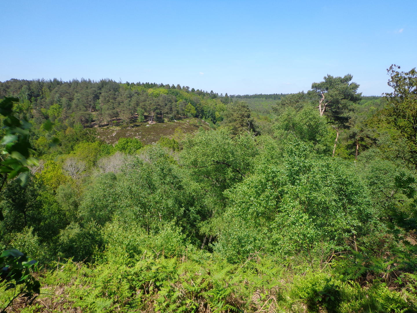
France > Normandy > Orne > Normandie-Maine Nature Park
Length
14km
Duration
4h
Elev gain
167m
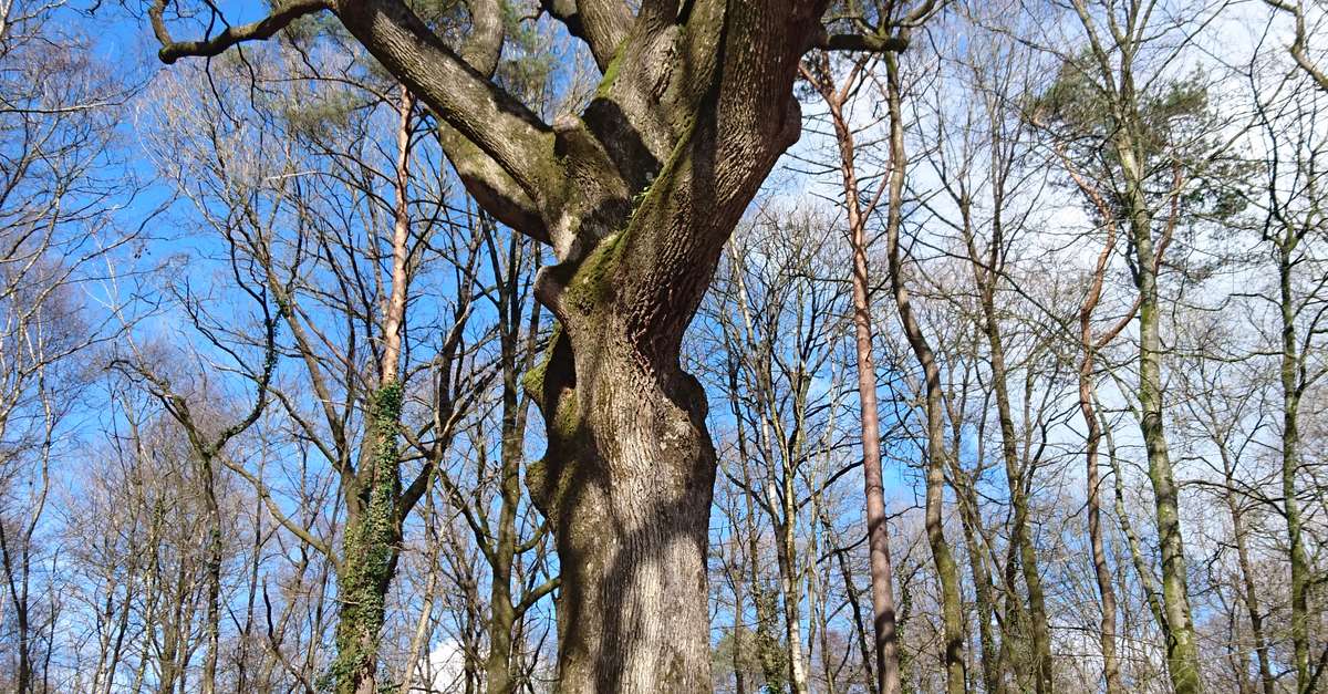
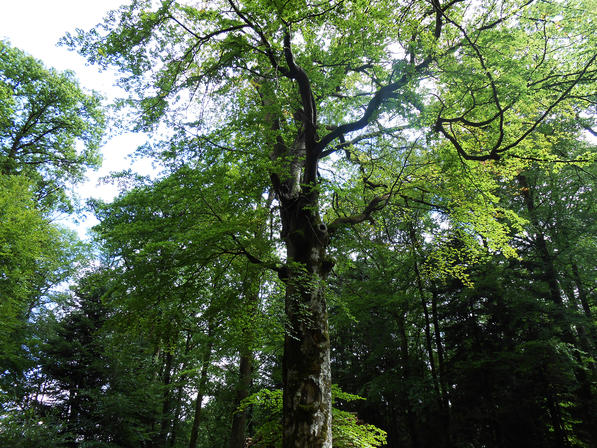
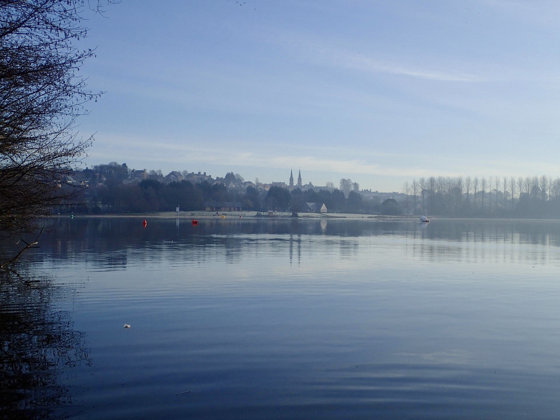
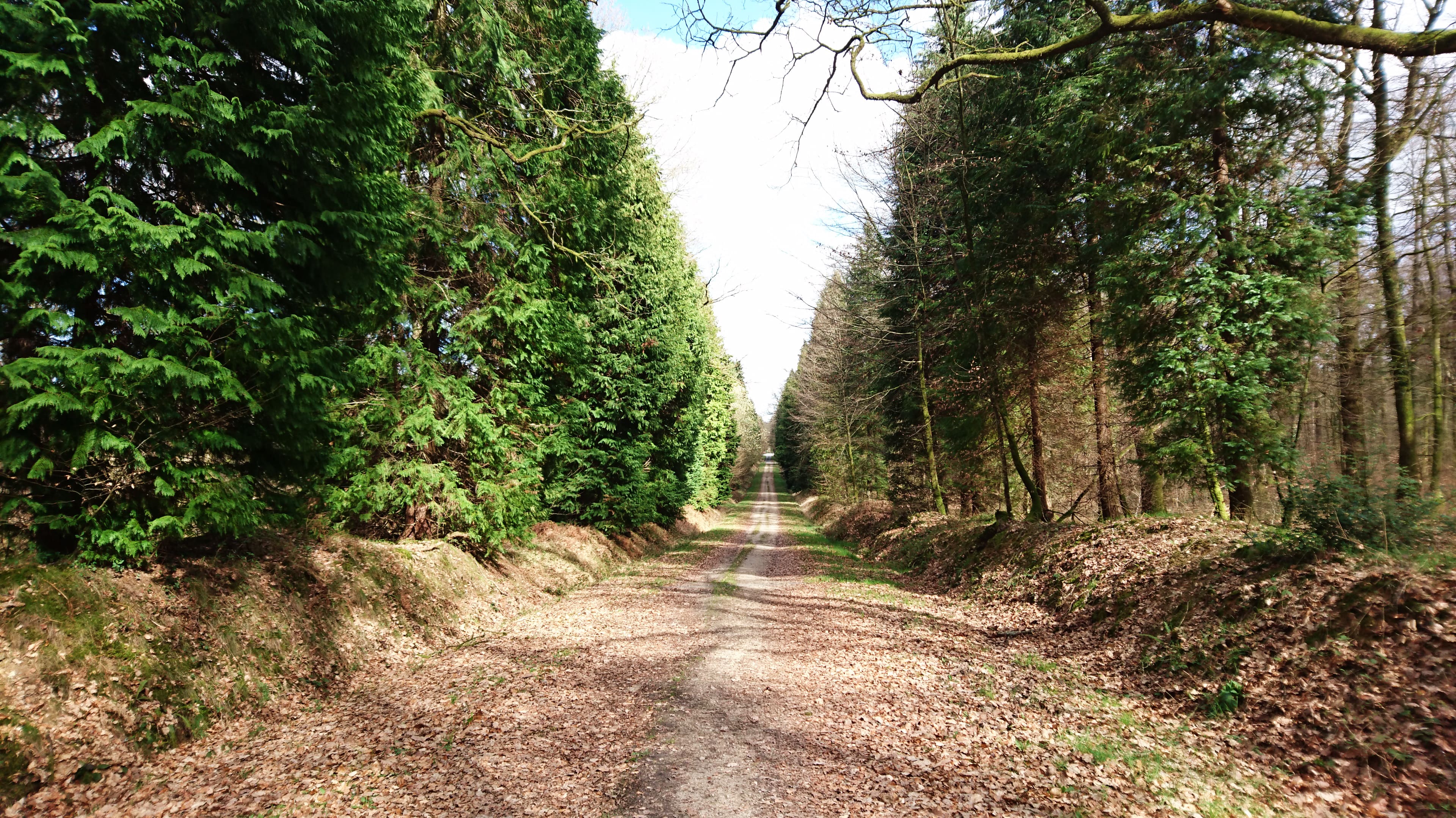
This walk takes place very close to the town of Bagnoles-de-l'Orne. A loop trail in the footsteps of the beech of the Virgin, which was once a real place of worship. In short, a stroll between town and forest marked by history and time.

Already more than 200,000 users!
Uphill
167m
Highest point
232m
Downhill
167m
Lowest point
170m
Route type
Loop
Download the map on your smartphone to save battery and rest assured to always keep access to the route, even without signal.
Includes IGN France and Swisstopo.
I indicate whether dogs are allowed or prohibited on this trail
All year
1 rating
Also enjoy:

Already more than 200,000 users!