Uphill
56m
Length
4km
Duration
1h
Elev gain
56m
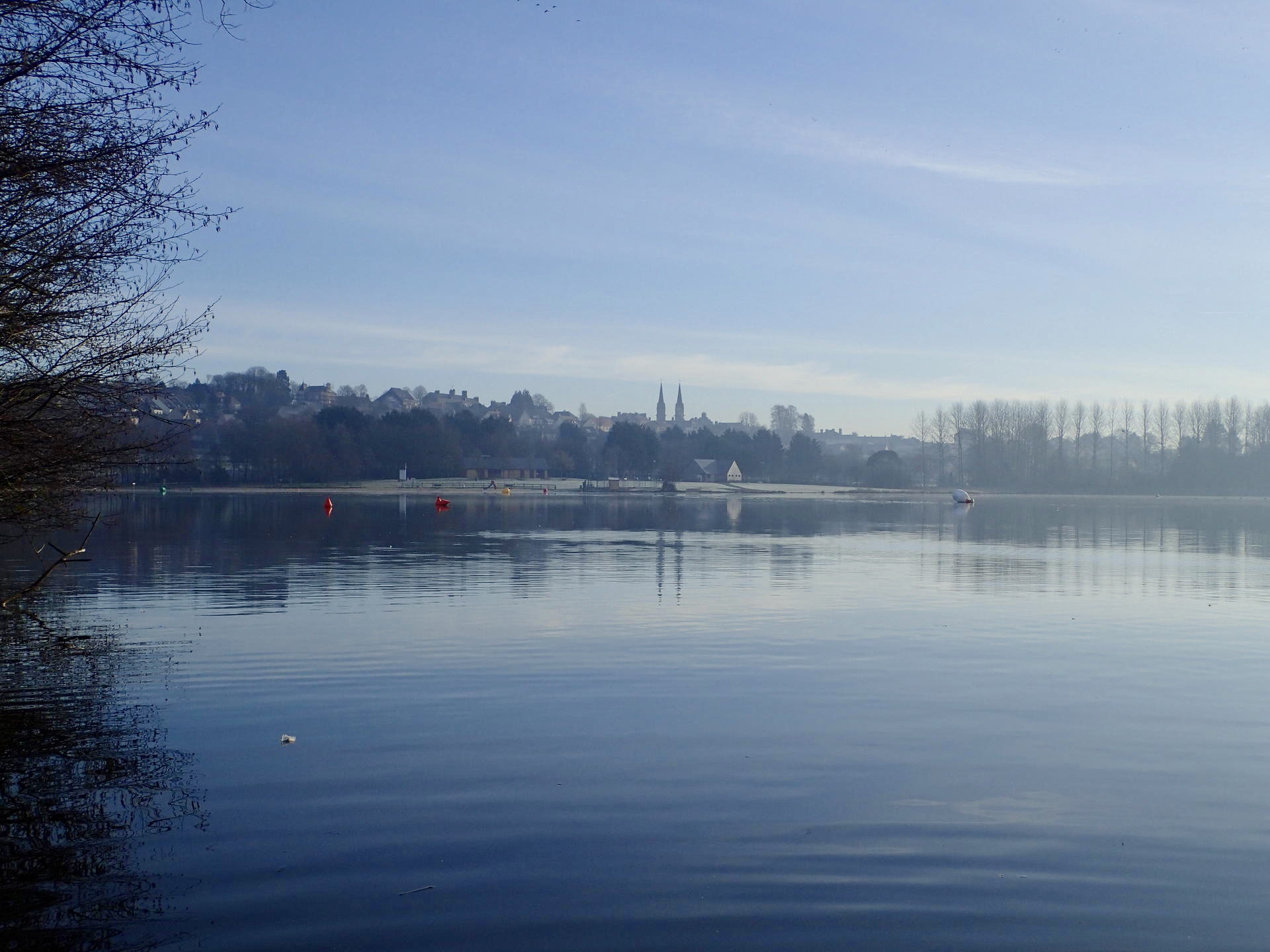
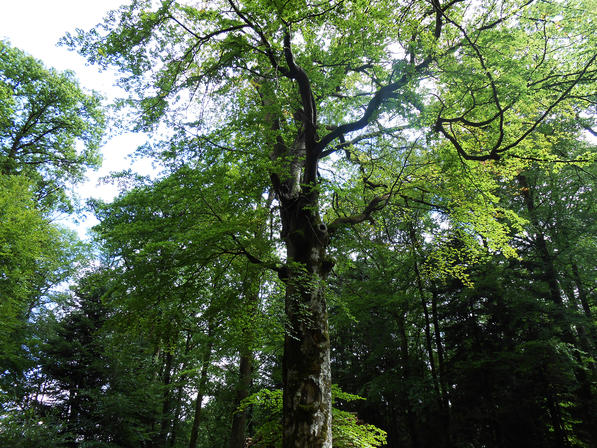
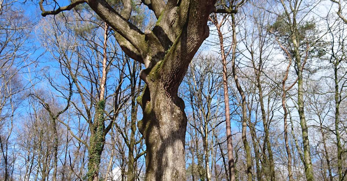
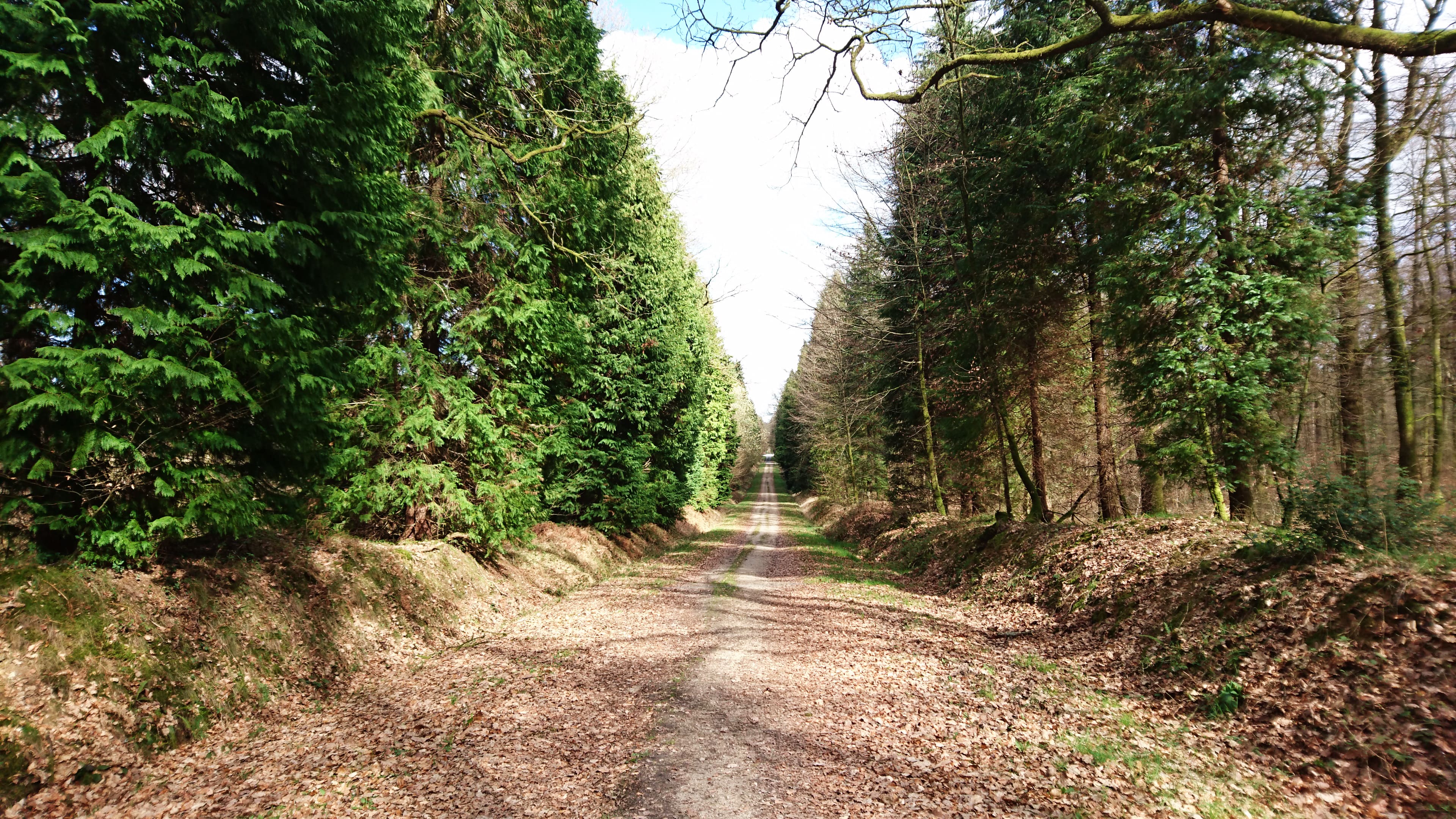
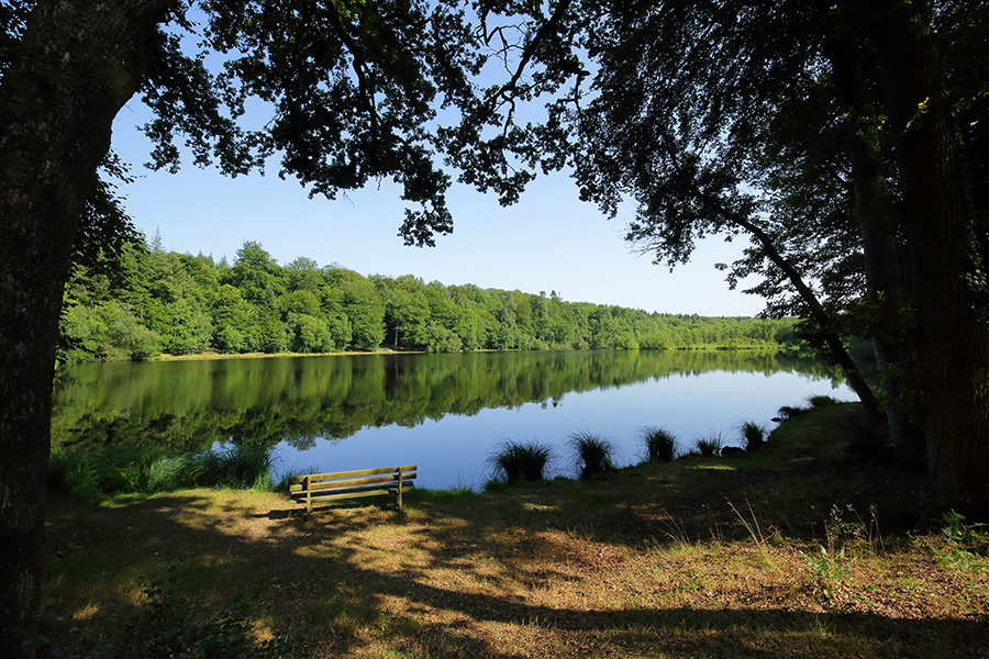
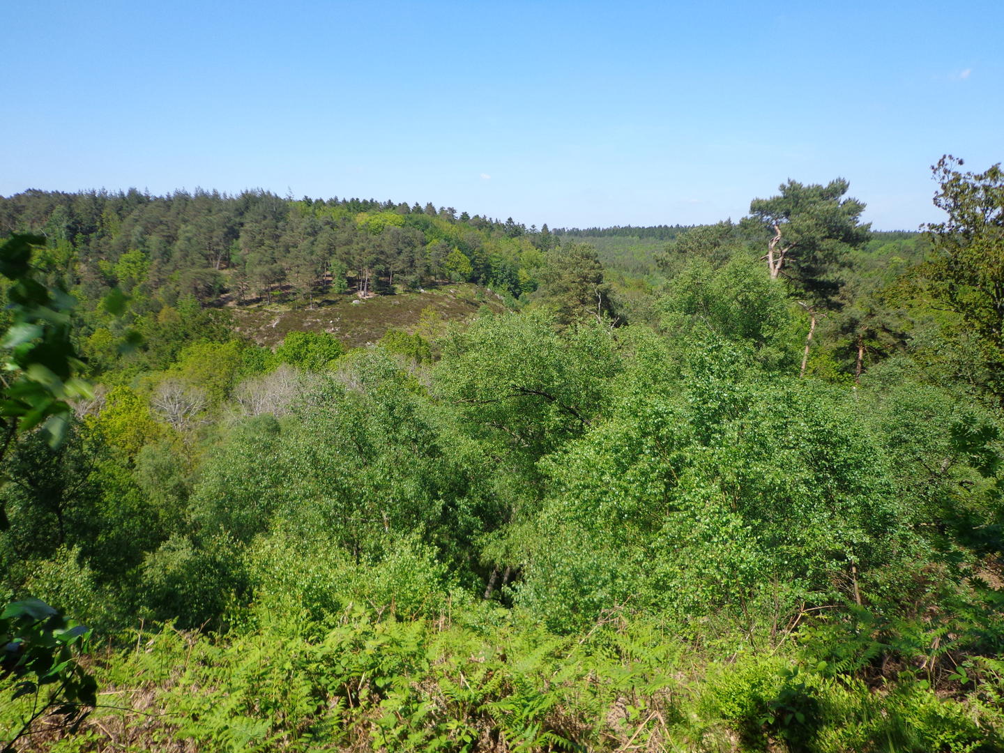
Here is a short hike that does not lack charm. The route winds around the gorges of Villiers with a passage to the cave of the Fairy Gisèle, then to the chapel of Saint-Antoine.
Note that it is possible to buy fresh produce at the farm located at the starting point.

Already more than 200,000 users!
Uphill
56m
Highest point
220m
Downhill
58m
Lowest point
172m
Route type
Loop
Download the map on your smartphone to save battery and rest assured to always keep access to the route, even without signal.
Includes IGN France and Swisstopo.
I indicate whether dogs are allowed or prohibited on this trail
All year
0 ratings
Also enjoy:

Already more than 200,000 users!