Uphill
165m
Length
9km
Duration
2h30min
Elev gain
165m
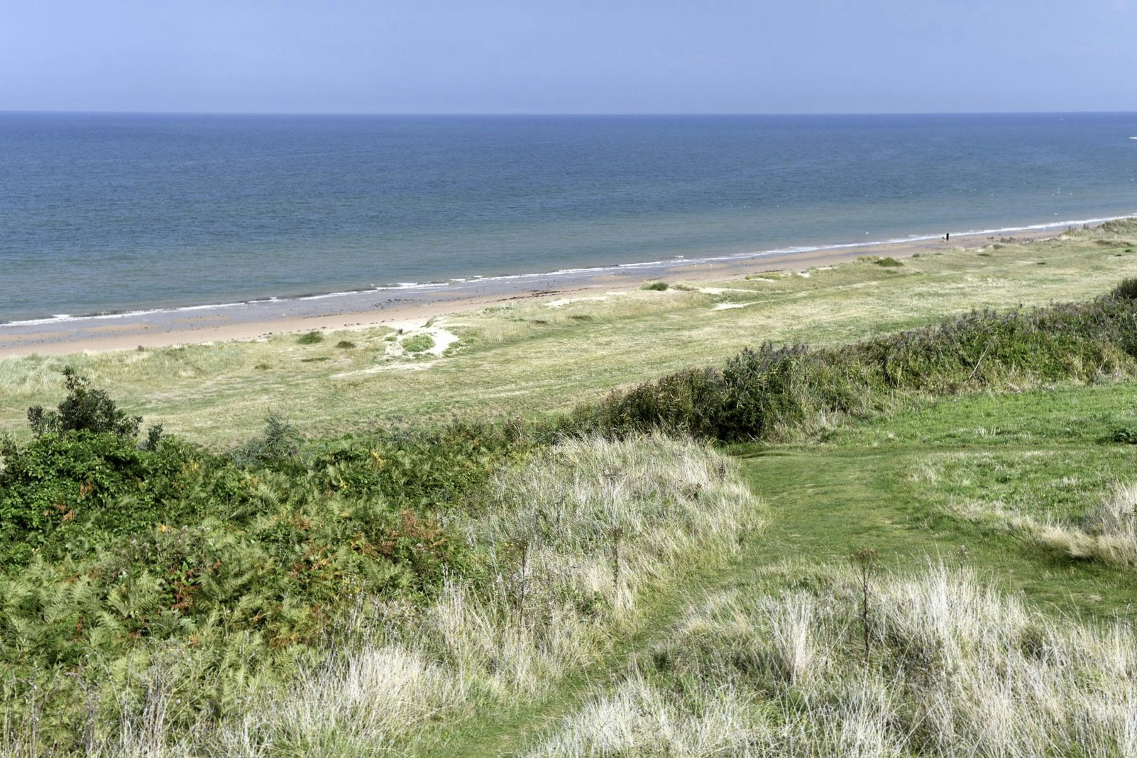
This route travels through a place steeped in history, being the site of the landing of American troops on June 6, 1944.
The trail offers different points of view on Omaha Beach and the American cemetery of Colleville-sur-Mer, in addition to crossing pretty fields and undergrowth.

Already more than 200,000 users!
Uphill
165m
Highest point
66m
Downhill
165m
Lowest point
5m
Route type
Loop
Download the map on your smartphone to save battery and rest assured to always keep access to the route, even without signal.
Includes IGN France and Swisstopo.
I indicate whether dogs are allowed or prohibited on this trail
All year
1 rating
Also enjoy:

Already more than 200,000 users!


