Uphill
0m
Length
4km
Duration
1h
Elev gain
0m
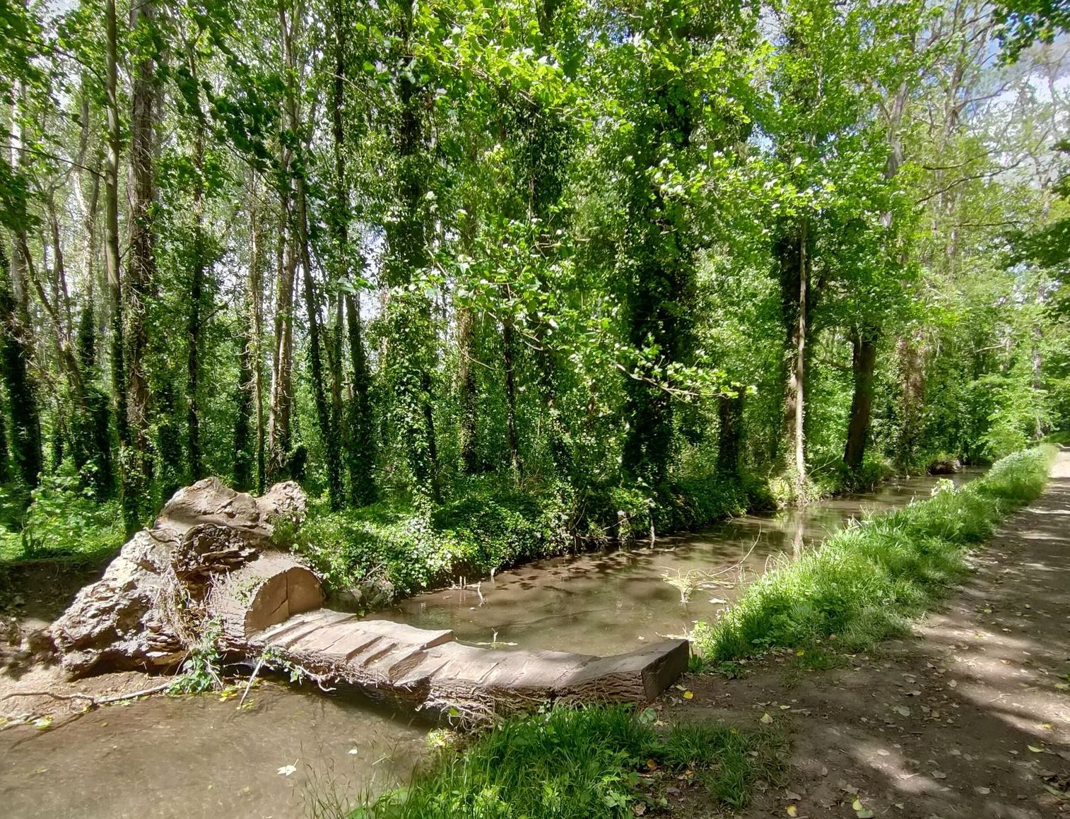
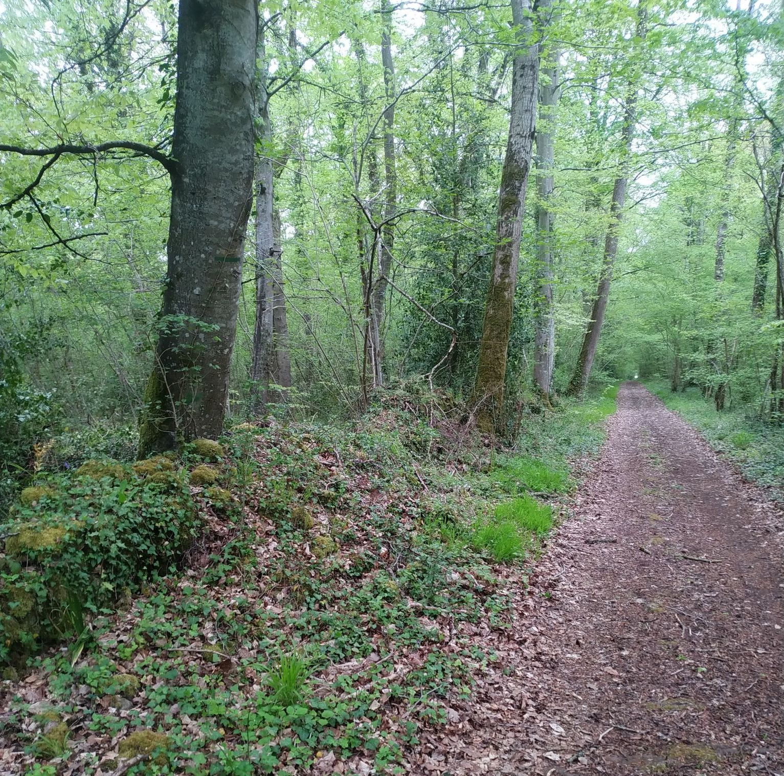
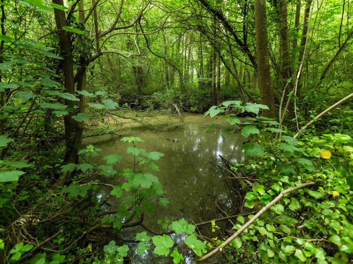
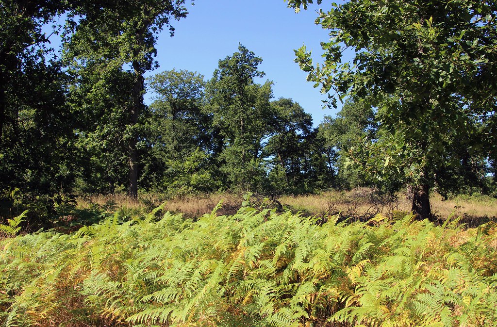
Located a stone's throw from Caen, this path runs along the banks of the Orne and offers a landscape open to the floodplains of the Fleury-sur-Orne marsh.

Already more than 200,000 users!
Uphill
0m
Highest point
20m
Downhill
0m
Lowest point
7m
Route type
Loop
Download the map on your smartphone to save battery and rest assured to always keep access to the route, even without signal.
Includes IGN France and Swisstopo.
I indicate whether dogs are allowed or prohibited on this trail
All year
1 rating
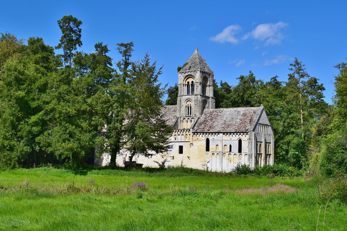
Also enjoy:

Already more than 200,000 users!