Uphill
19m
Length
15km
Duration
4h
Elev gain
19m
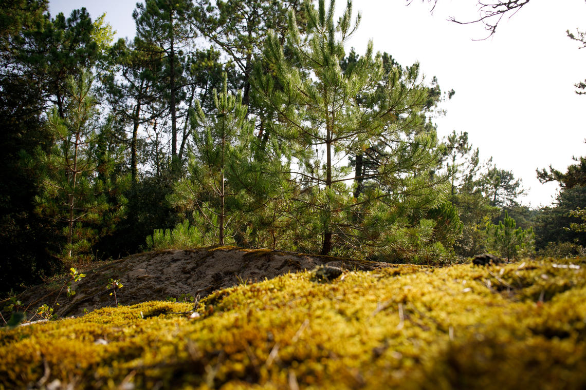
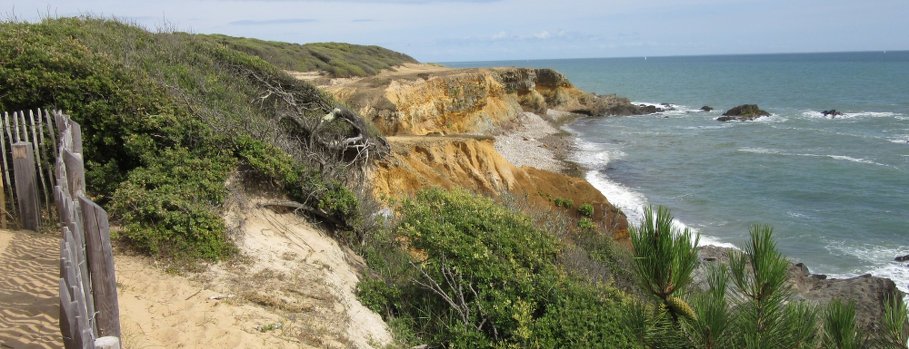
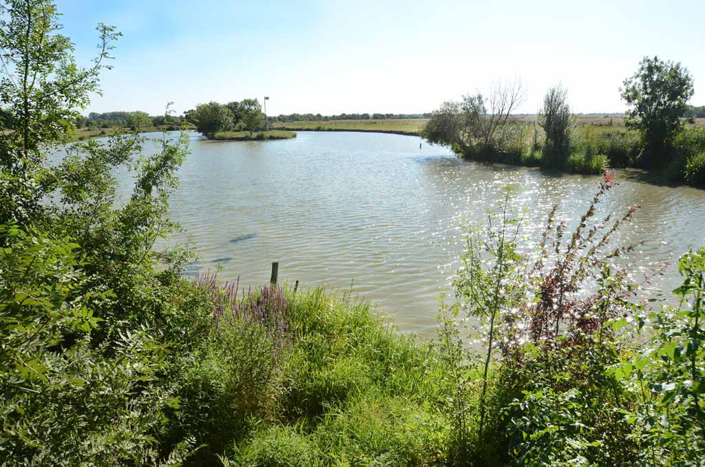
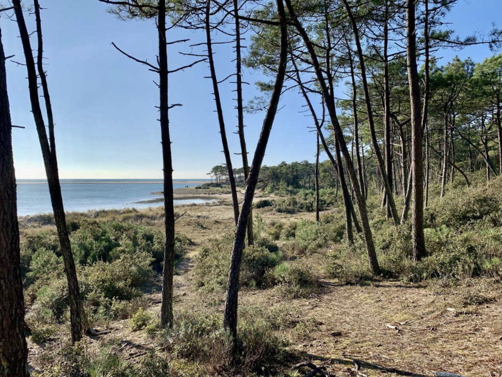
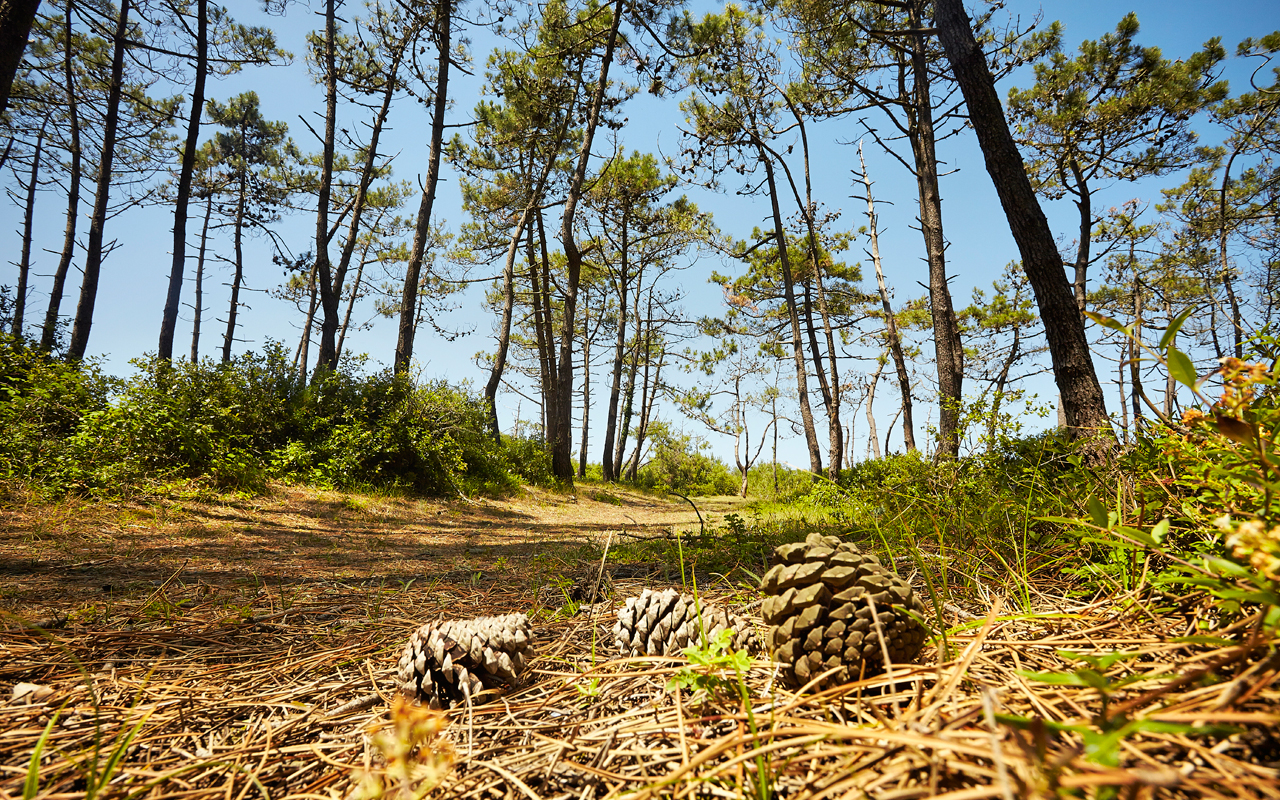
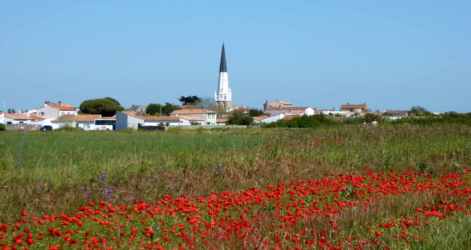
Departing from Ars-en-Ré, this trail allows you to discover the bay of Fier d'Ars, before crossing the forest of Combe à l'Eau then along the beaches of La Grange and La Marielle.
A varied and pleasant route.

Already more than 200,000 users!
Uphill
19m
Highest point
13m
Downhill
19m
Lowest point
0m
Route type
Loop
Download the map on your smartphone to save battery and rest assured to always keep access to the route, even without signal.
Includes IGN France and Swisstopo.
I indicate whether dogs are allowed or prohibited on this trail
All year
1 rating
Also enjoy:

Already more than 200,000 users!