Uphill
0m
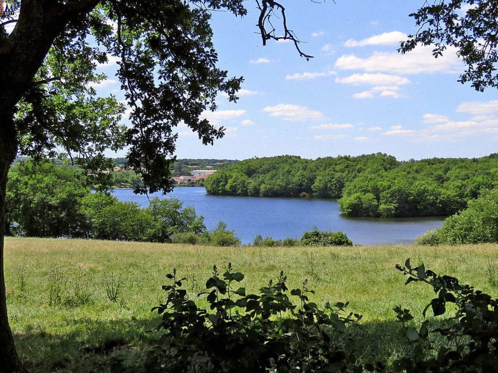
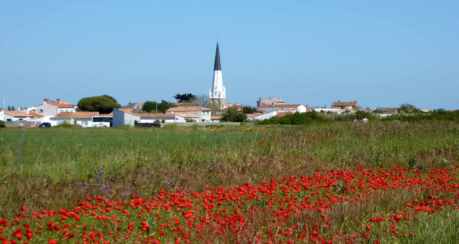
France > Pays de la Loire > Vendée > Marais Poitevin Regional Natural Park
Length
6km
Duration
1h30min
Elev gain
0m
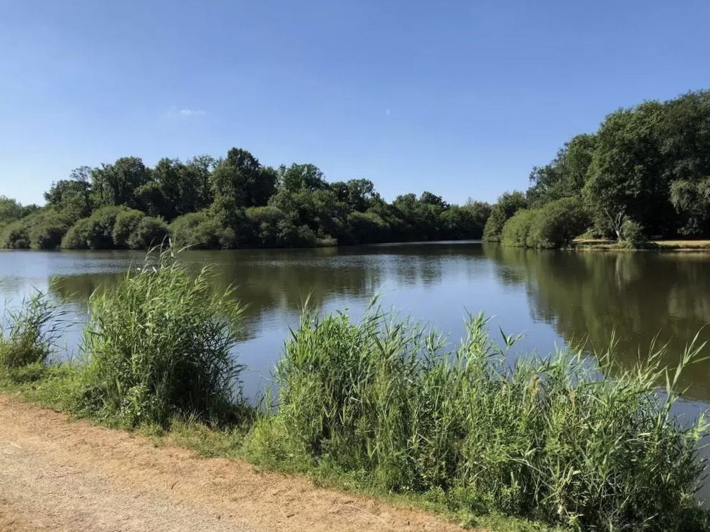
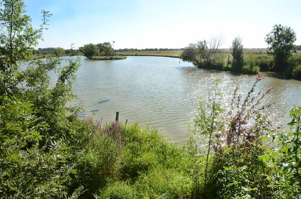
Departing from Saint-Benoist-sur-Mer, this interpretation trail provides a better understanding of the functioning of the marshes. On the program: bird watching, an orientation table, and pretty panoramas.

Already more than 200,000 users!
Uphill
0m
Highest point
15m
Downhill
0m
Lowest point
5m
Route type
Loop
Download the map on your smartphone to save battery and rest assured to always keep access to the route, even without signal.
Includes IGN France and Swisstopo.
3 ratings
Facile idéal pour les familles, très plat et peut être avec des poussettes. Super les panneaux explicatifs. Merci
Also enjoy:

Already more than 200,000 users!