Uphill
141m
Length
8km
Duration
2h30min
Elev gain
141m
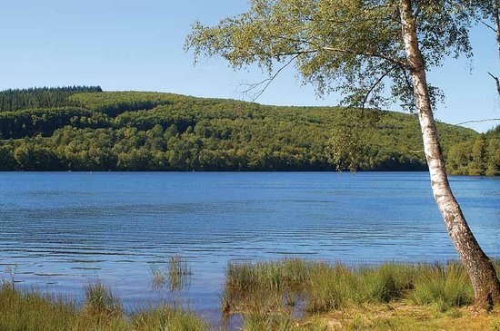
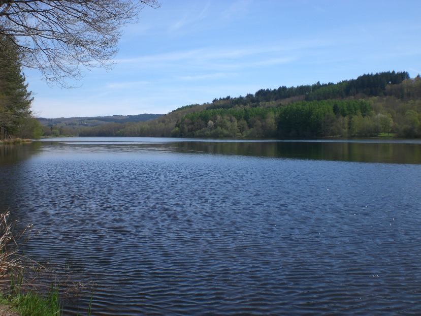
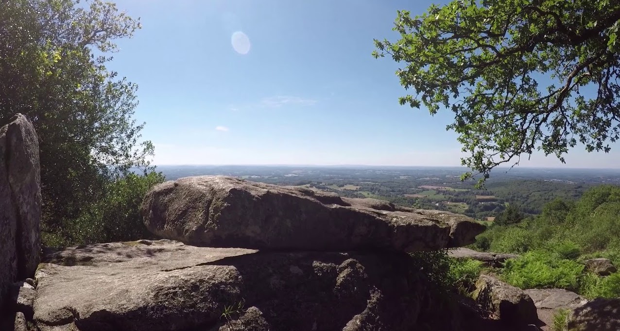
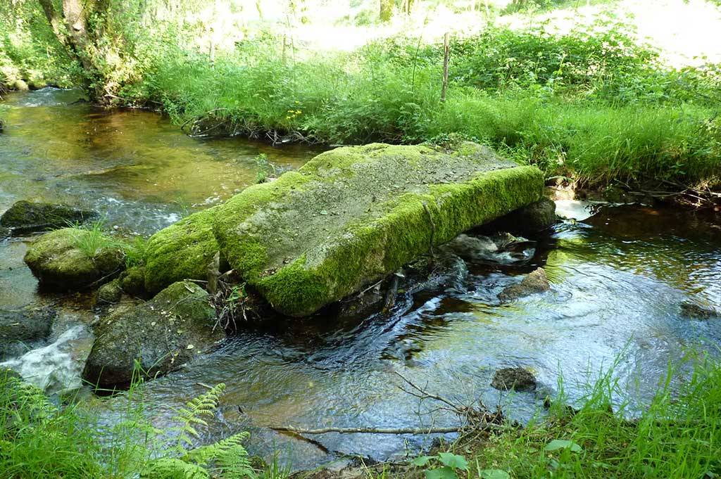
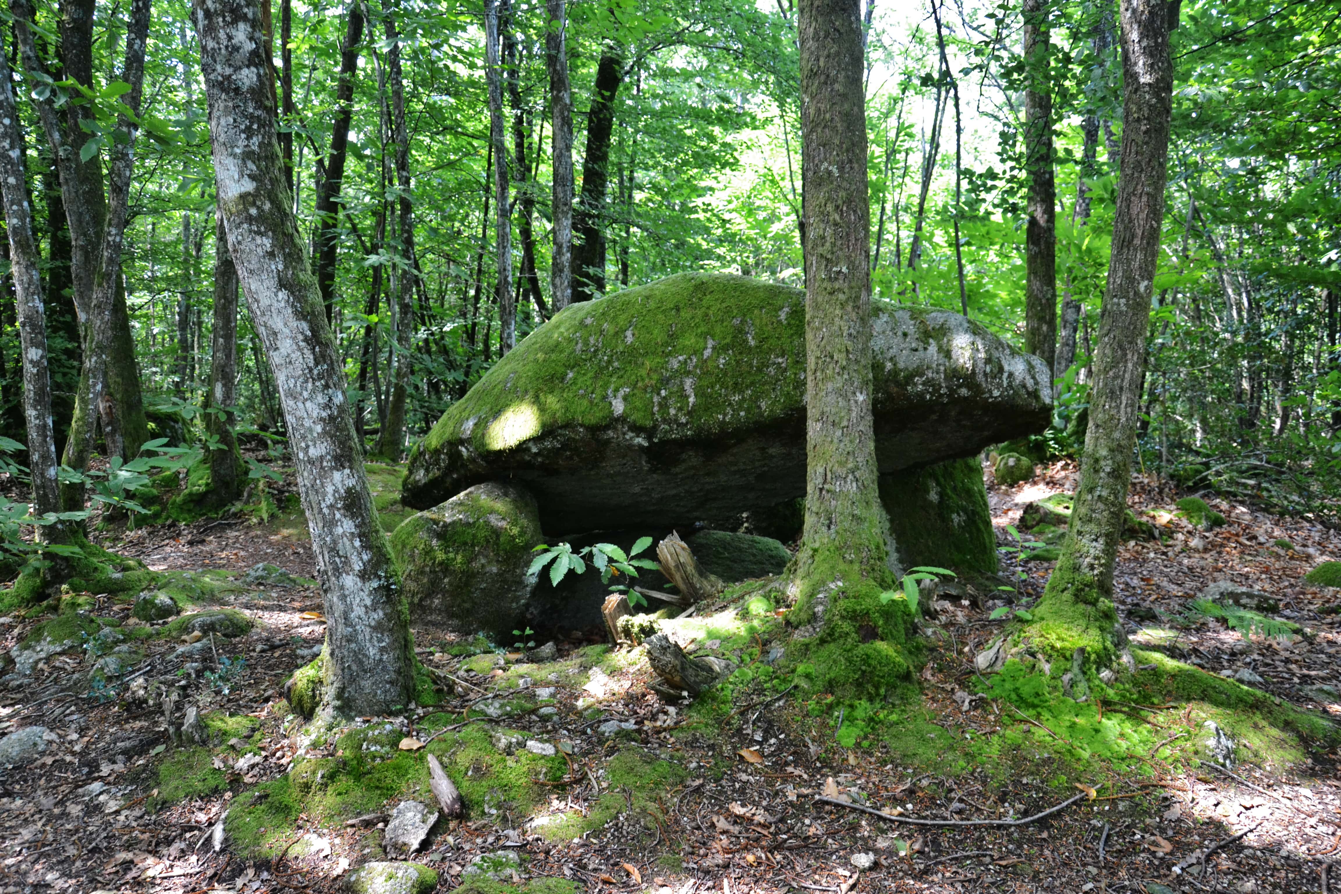
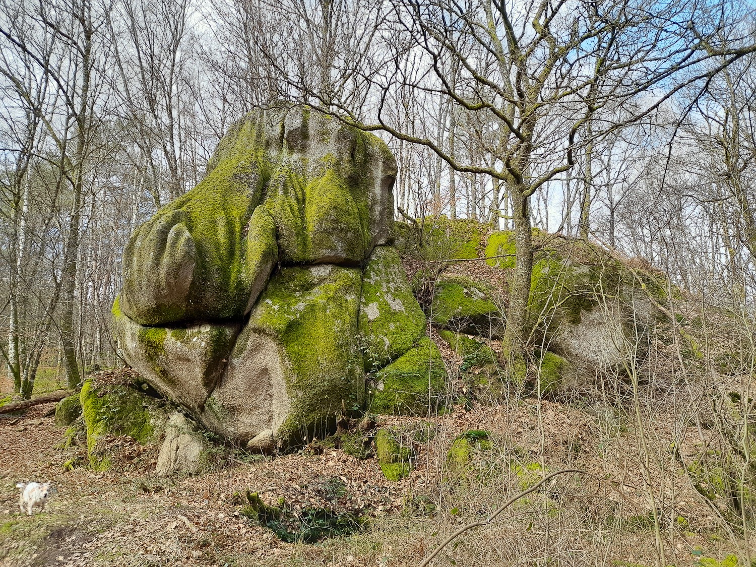
Starting from the hamlet of Vauzelle, this route makes a nice loop in the woods, mainly taking shaded paths. Total immersion in nature is guaranteed.

Already more than 200,000 users!
Uphill
141m
Highest point
480m
Downhill
141m
Lowest point
377m
Route type
Loop
Download the map on your smartphone to save battery and rest assured to always keep access to the route, even without signal.
Includes IGN France and Swisstopo.
I indicate whether dogs are allowed or prohibited on this trail
All year
0 ratings
Also enjoy:

Already more than 200,000 users!