Uphill
198m
Length
8km
Duration
2h30min
Elev gain
198m
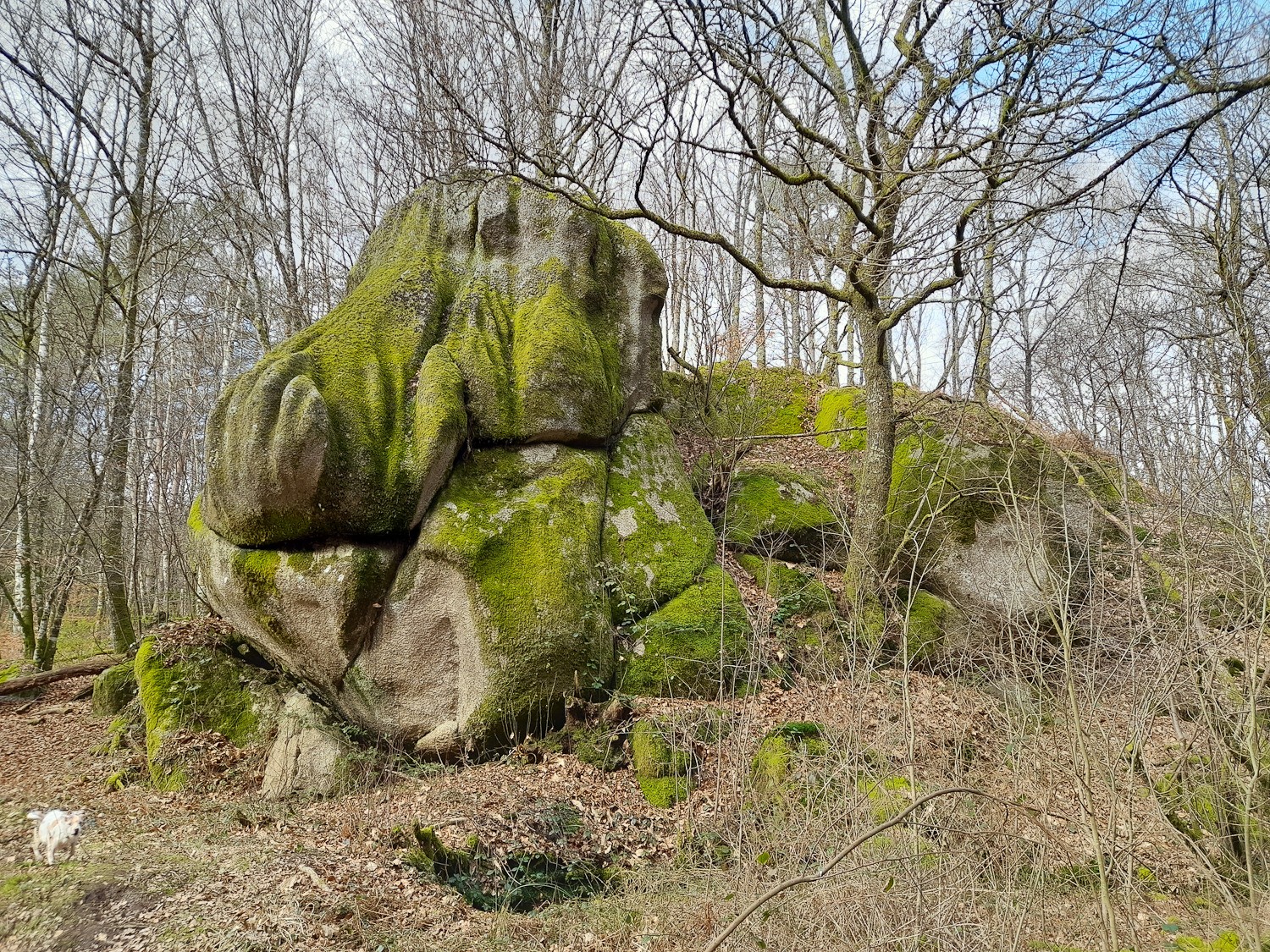
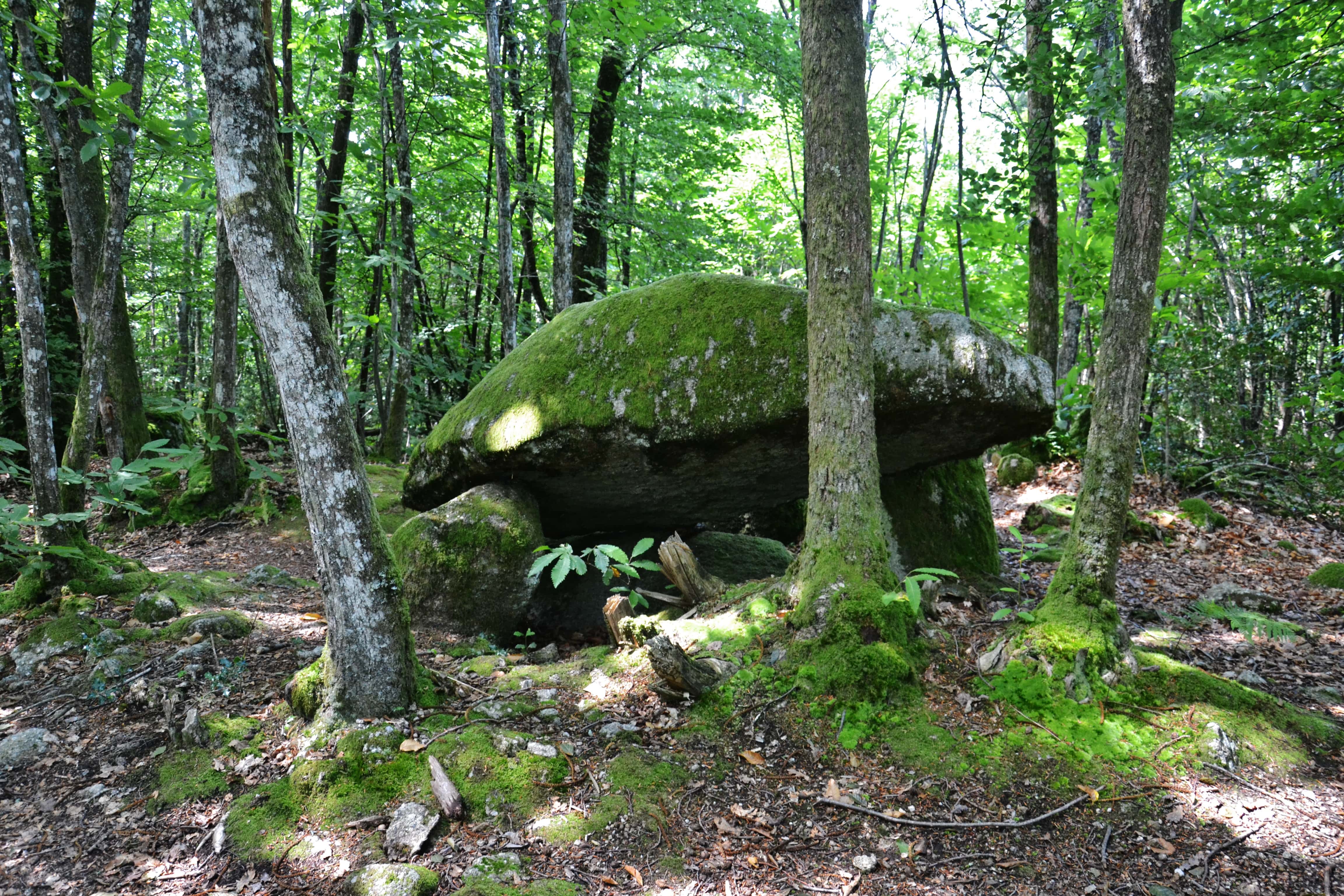
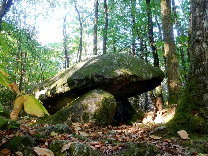
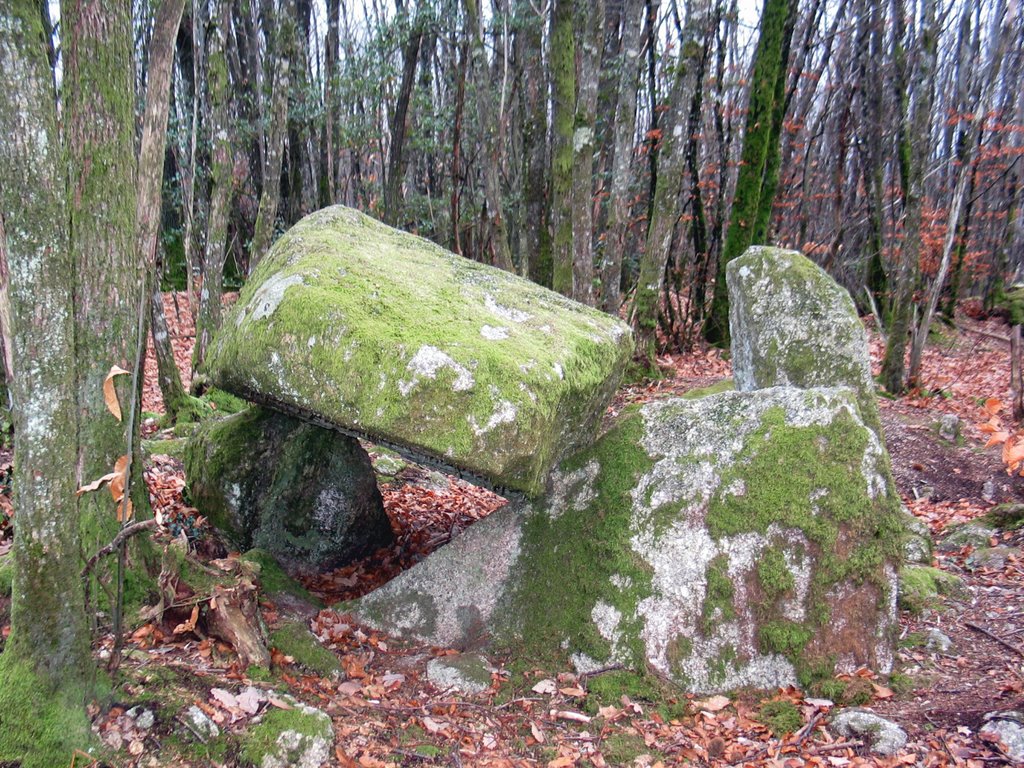
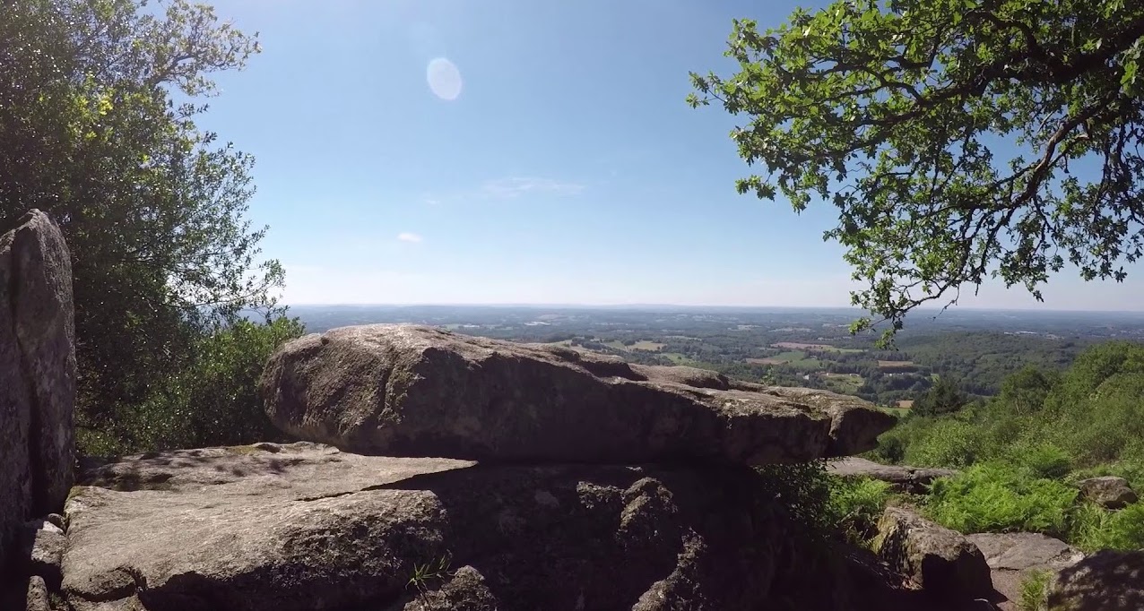
Here is a great hike near the Crouzille pond. The route begins by following the pond then joins the Puy de Cloud, before ending with the magnificent viewpoint of the Branlante stone.

Already more than 200,000 users!
Uphill
198m
Highest point
587m
Downhill
198m
Lowest point
423m
Route type
Loop
Download the map on your smartphone to save battery and rest assured to always keep access to the route, even without signal.
Includes IGN France and Swisstopo.
I indicate whether dogs are allowed or prohibited on this trail
All year
2 ratings
Also enjoy:

Already more than 200,000 users!