Uphill
350m
Length
19km
Duration
5h30min
Elev gain
350m
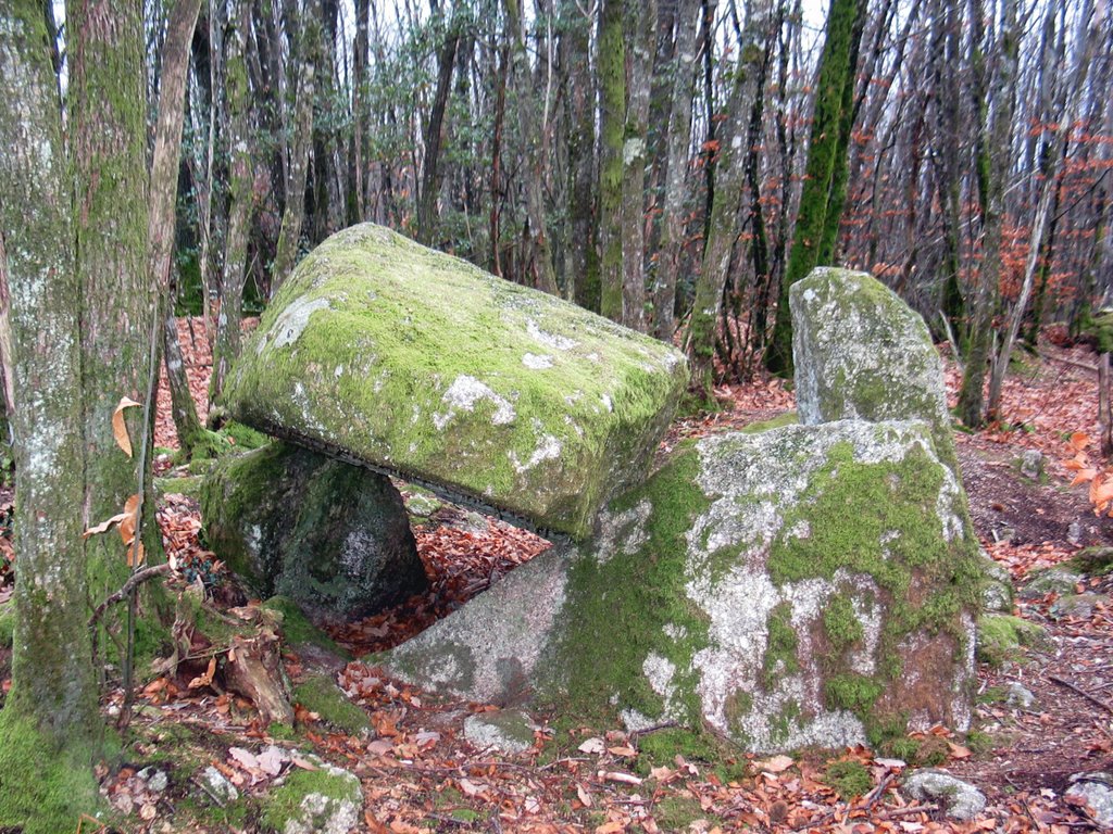
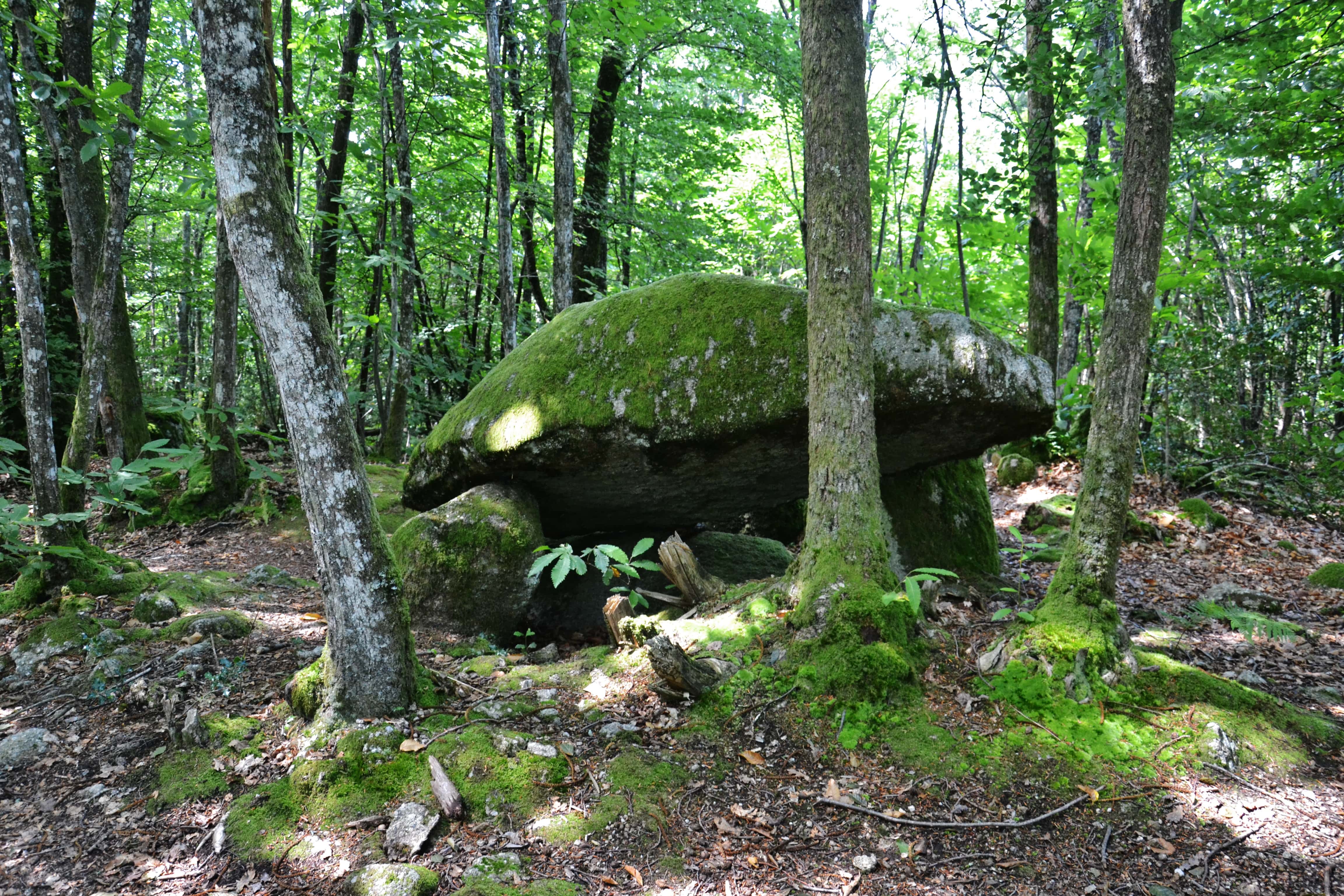
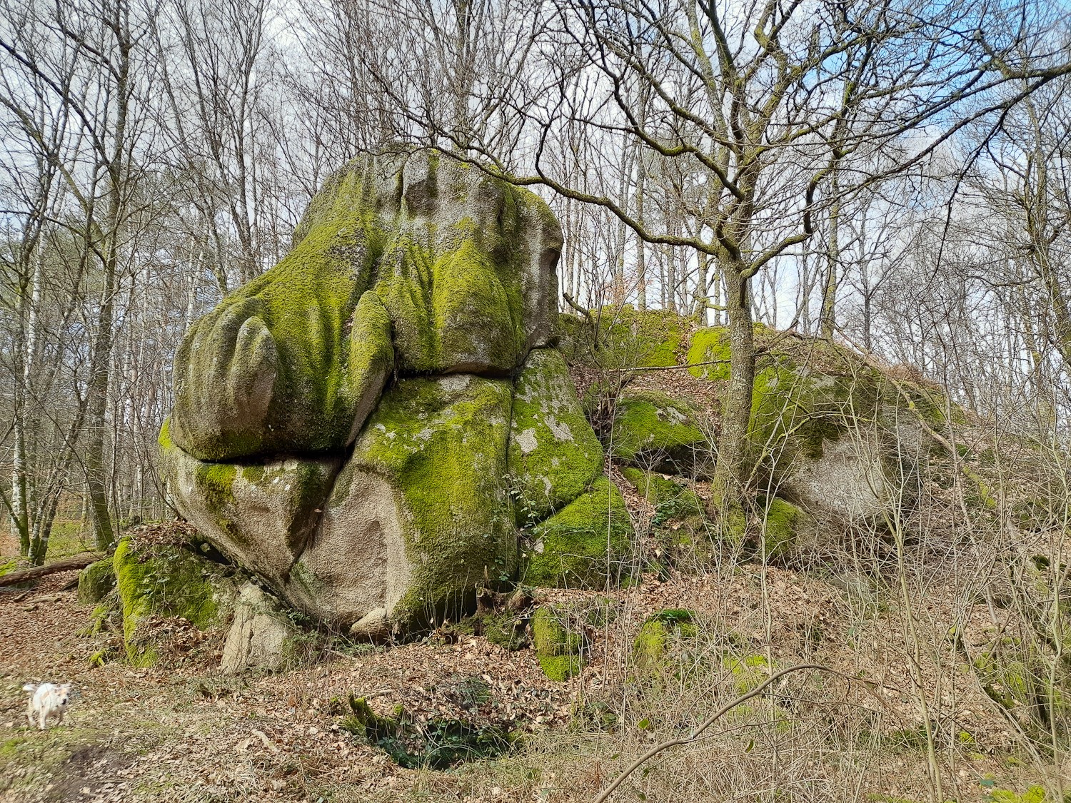
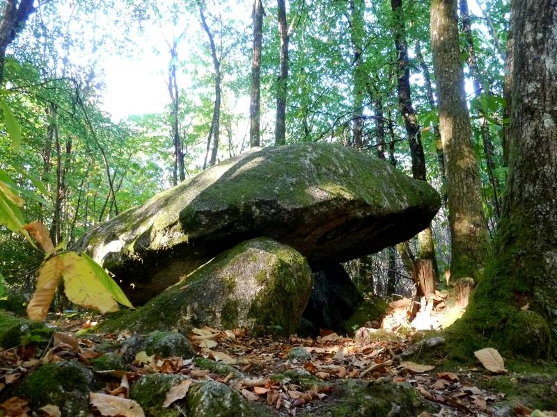
Here is a similar hike to the dolmen, which starts from the same place, but a bit longer. The route passes through Grand Royères then climbs over stony ground to the village of Cloud, before descending to Vergnes. At this level, the view of the Ambazac mountains is simply spectacular. A very nice hike that still requires good physical condition.

Already more than 200,000 users!
Uphill
350m
Highest point
547m
Downhill
350m
Lowest point
356m
Route type
Loop
Download the map on your smartphone to save battery and rest assured to always keep access to the route, even without signal.
Includes IGN France and Swisstopo.
I indicate whether dogs are allowed or prohibited on this trail
All year
1 rating
Also enjoy:

Already more than 200,000 users!