Uphill
132m
Length
9km
Duration
2h30min
Elev gain
132m
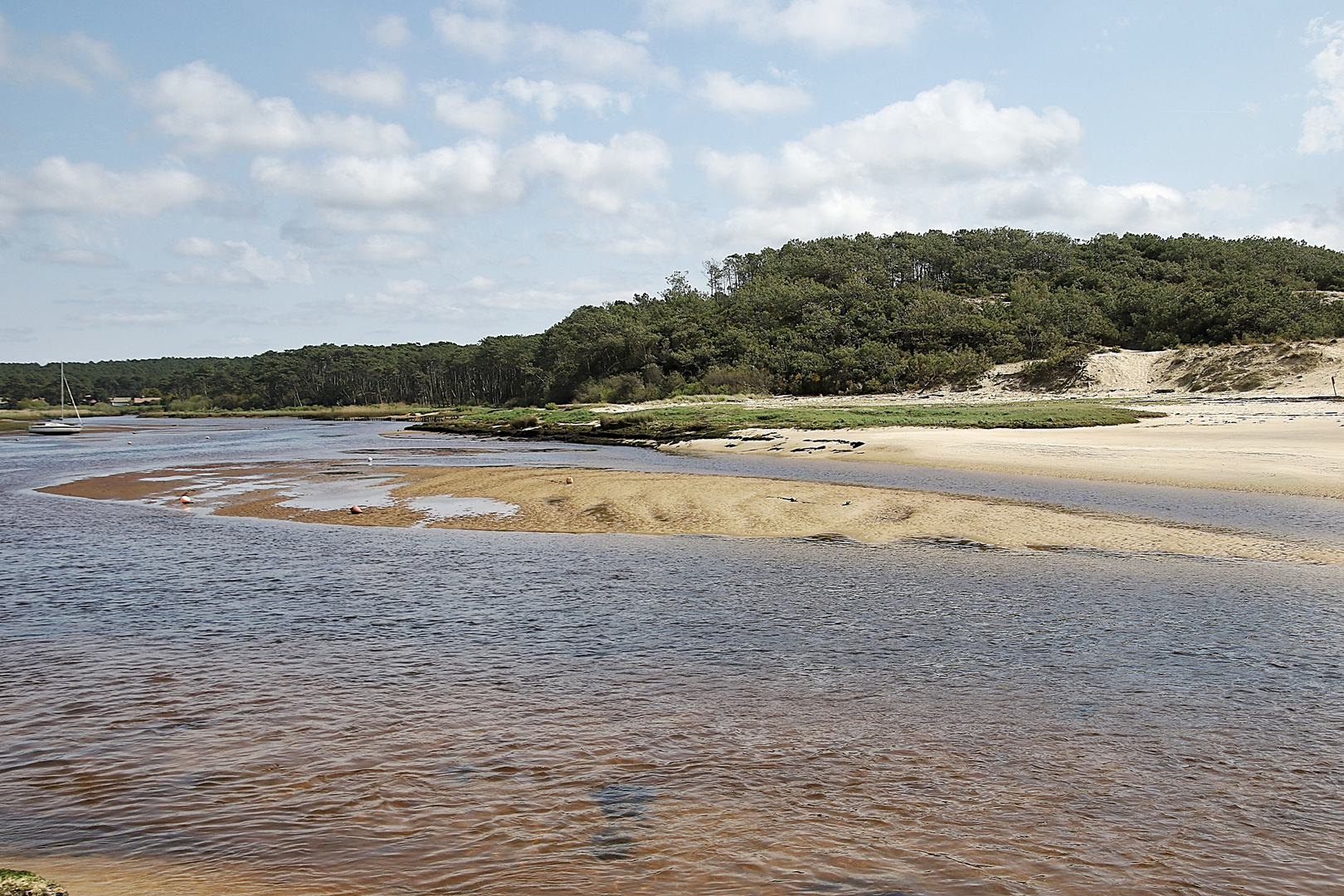
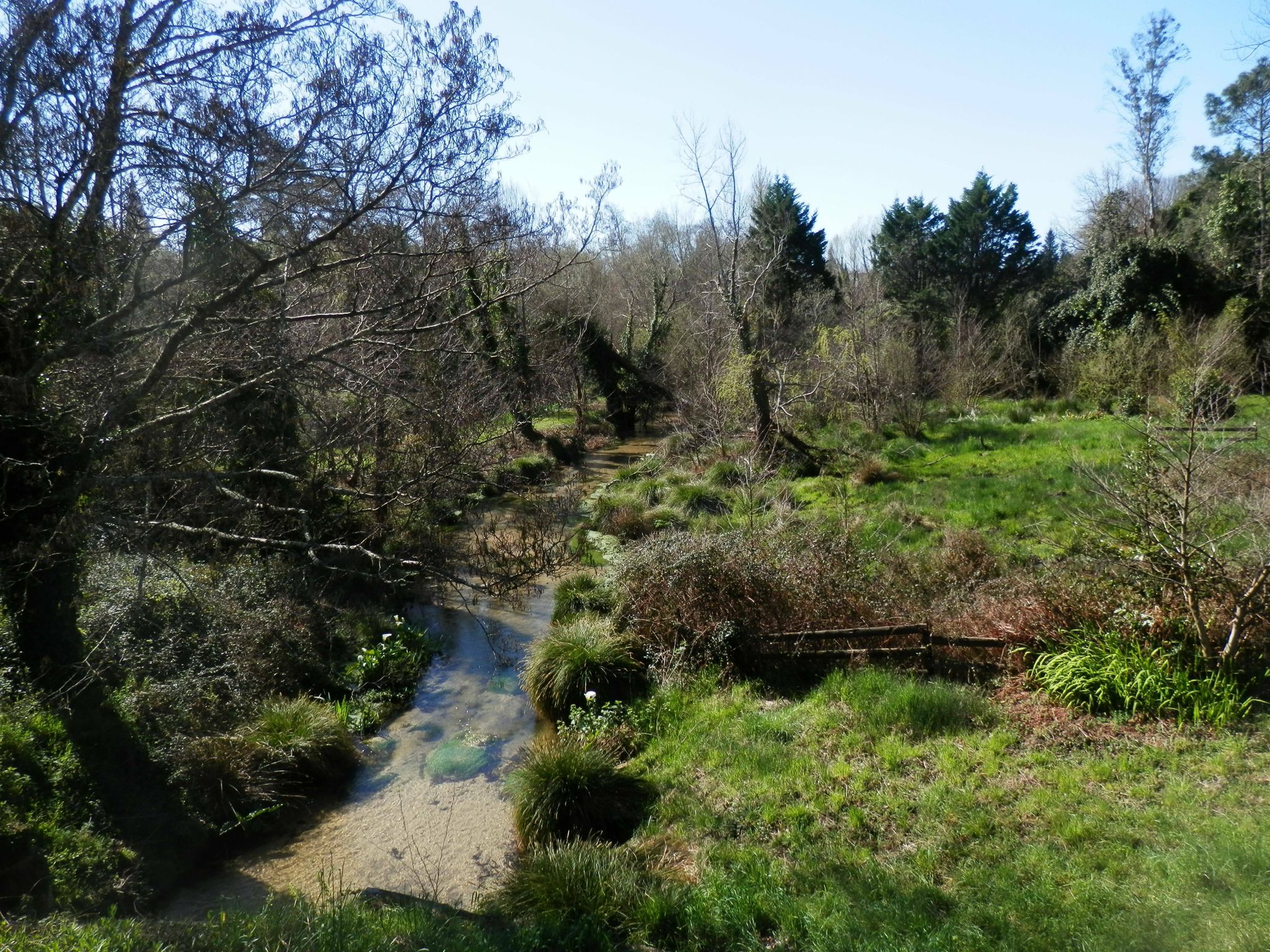
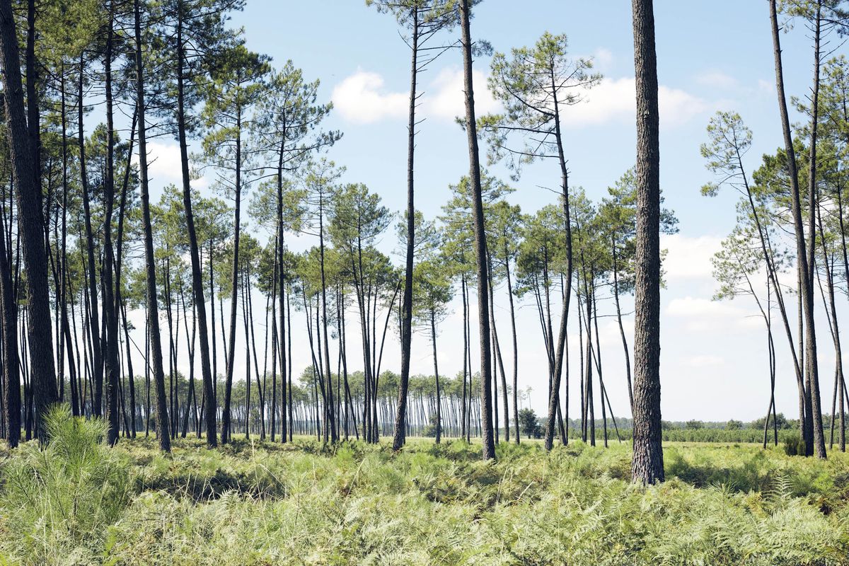
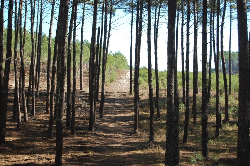
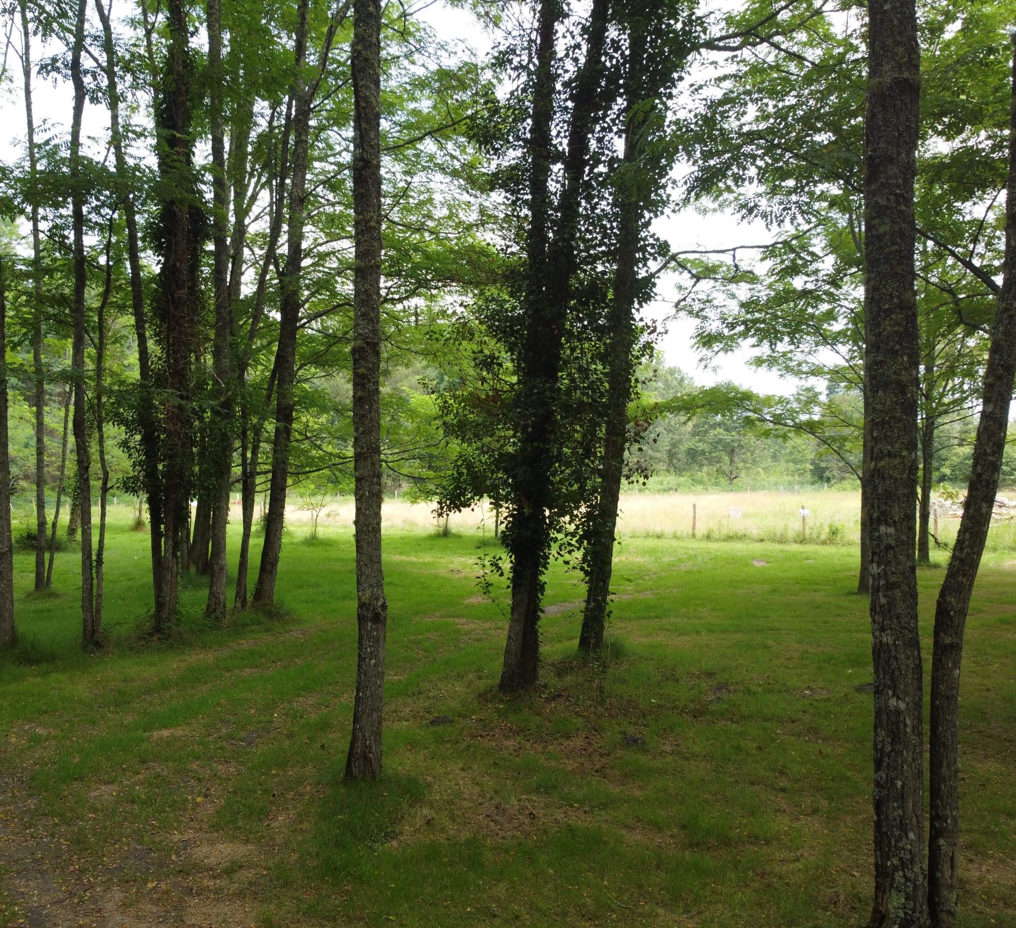
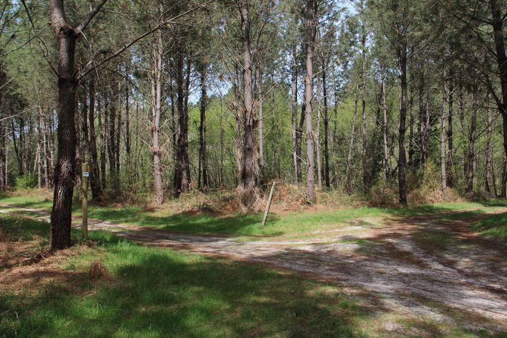
Departing from Lévignacq, here is a marked hike allowing you to discover remarkable wetlands and forests.

Already more than 200,000 users!
Uphill
132m
Highest point
96m
Downhill
132m
Lowest point
22m
Route type
Loop
Download the map on your smartphone to save battery and rest assured to always keep access to the route, even without signal.
Includes IGN France and Swisstopo.
I indicate whether dogs are allowed or prohibited on this trail
All year
0 ratings
Also enjoy:

Already more than 200,000 users!