Uphill
111m
Length
9km
Duration
2h30min
Elev gain
111m
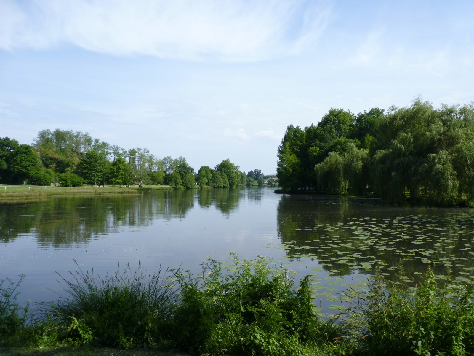
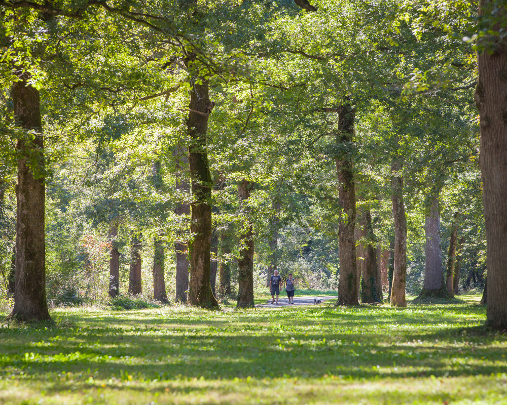
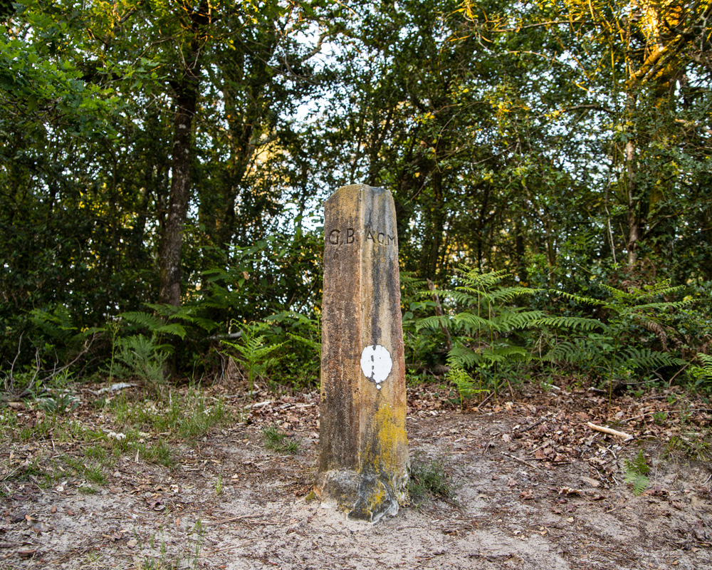
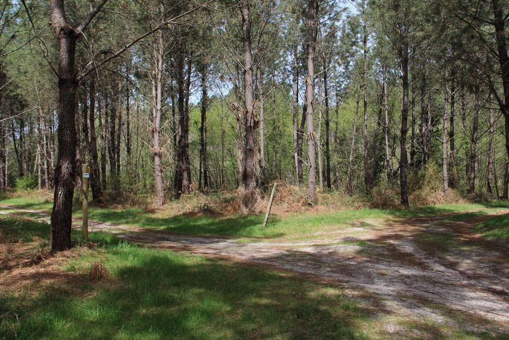
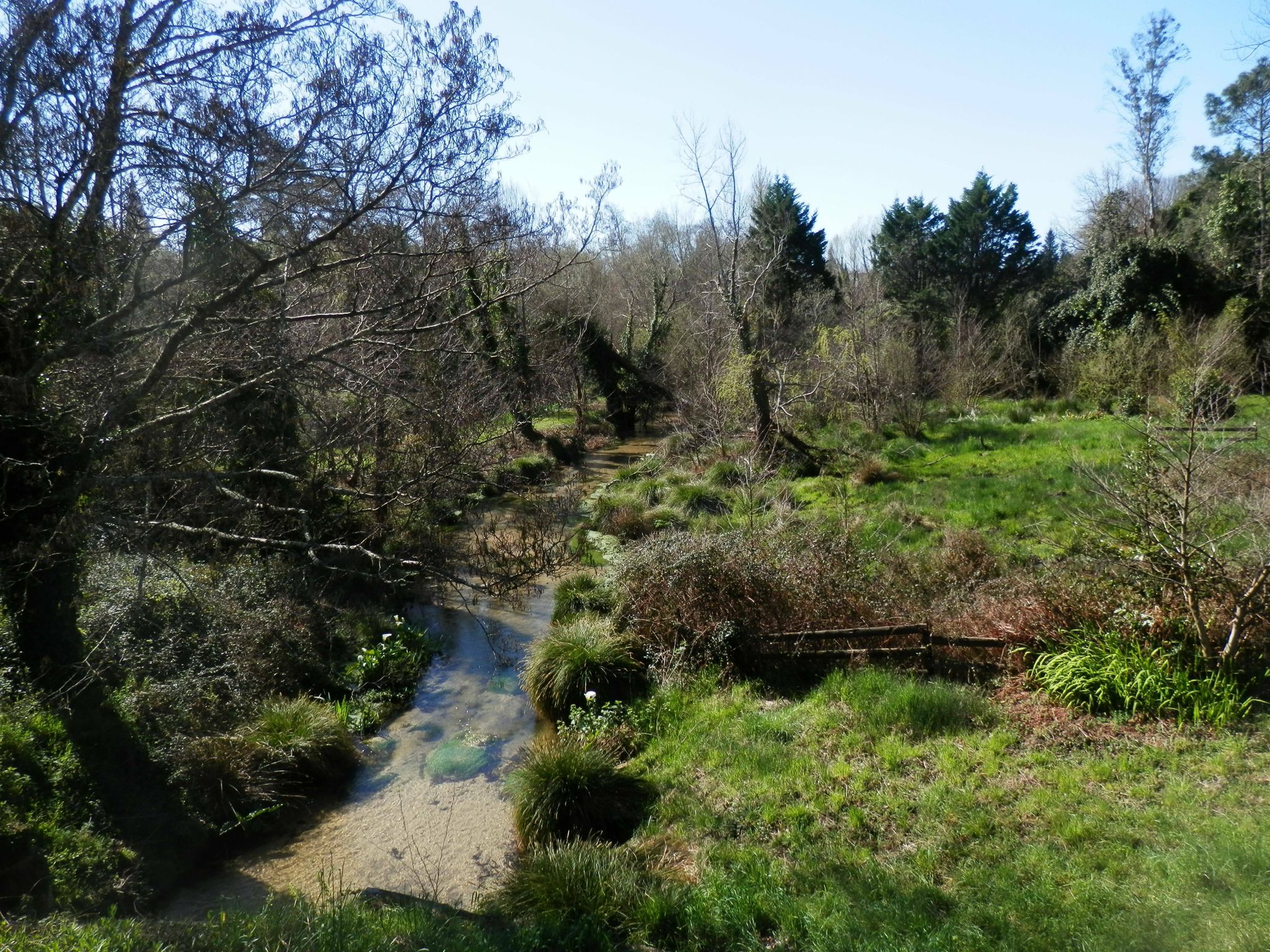
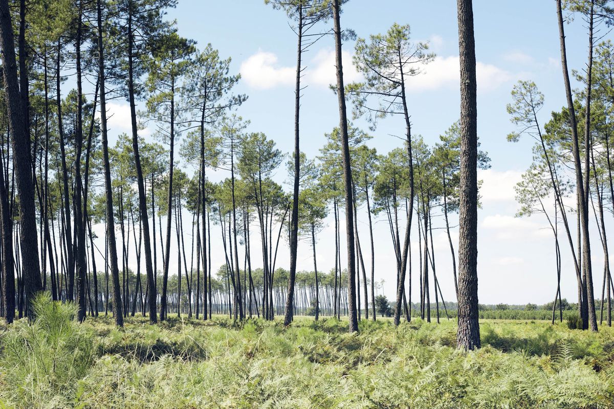
This trail loops around Taller, mostly through pine trees.
Note however that a passage is located on a paved road.

Already more than 200,000 users!
Uphill
111m
Highest point
107m
Downhill
111m
Lowest point
72m
Route type
Loop
Download the map on your smartphone to save battery and rest assured to always keep access to the route, even without signal.
Includes IGN France and Swisstopo.
I indicate whether dogs are allowed or prohibited on this trail
All year
0 ratings
Also enjoy:

Already more than 200,000 users!