Uphill
96m
Length
11km
Duration
3h
Elev gain
96m
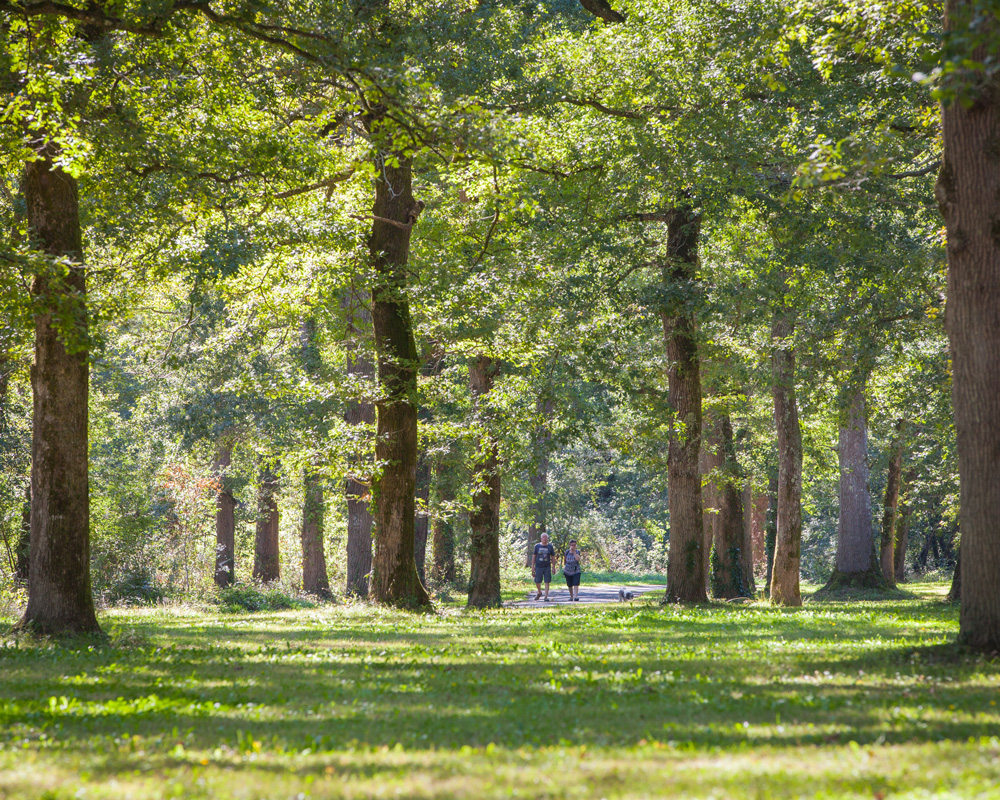
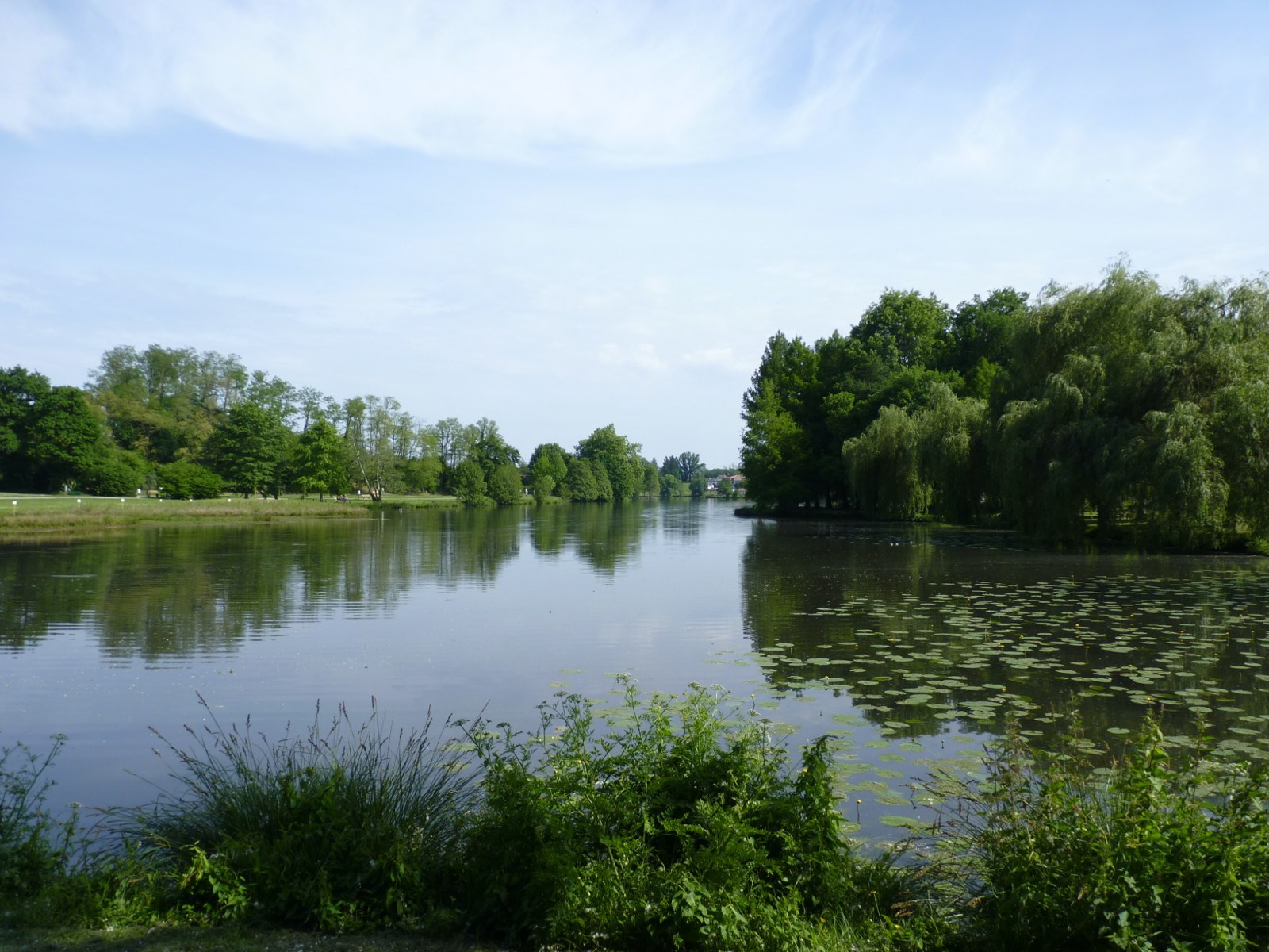
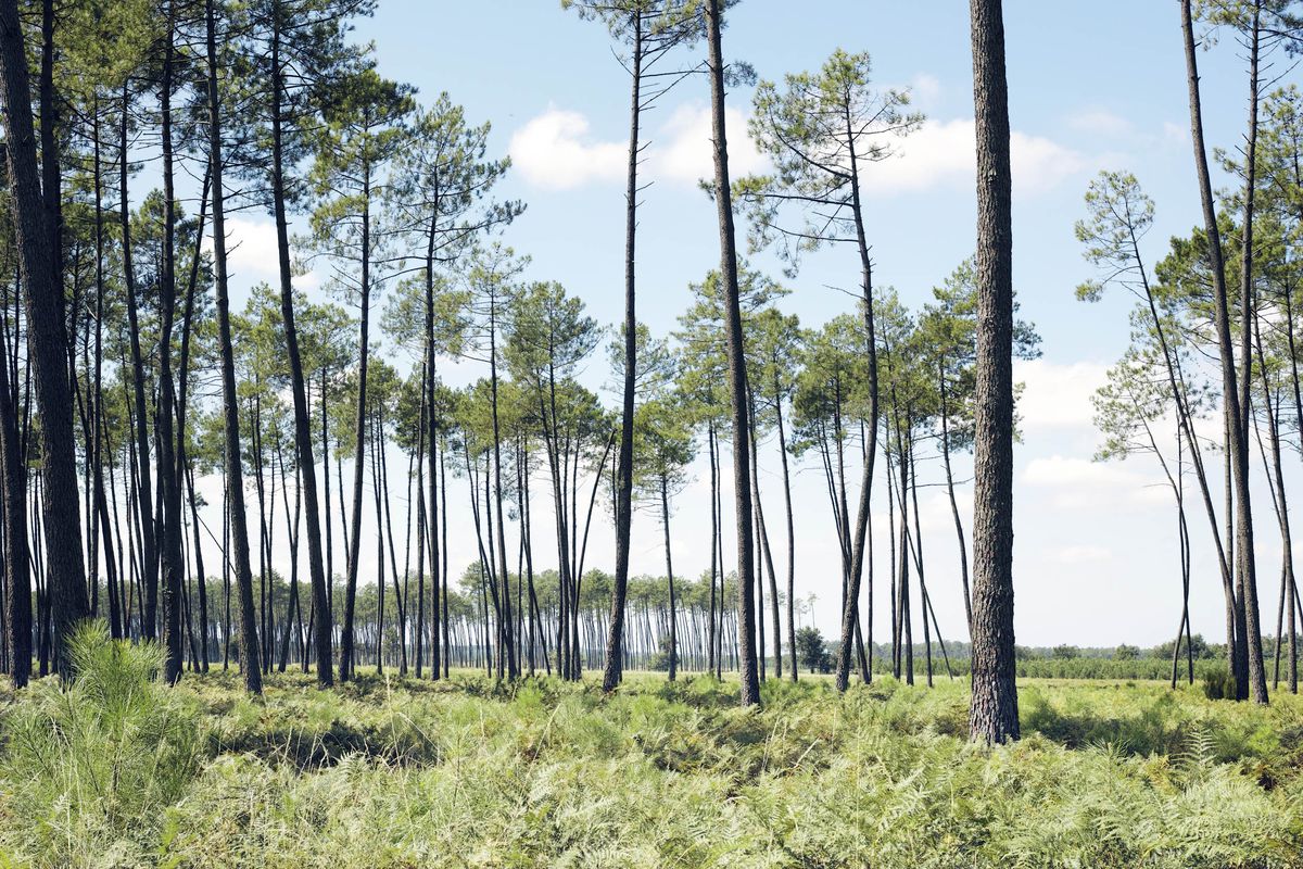
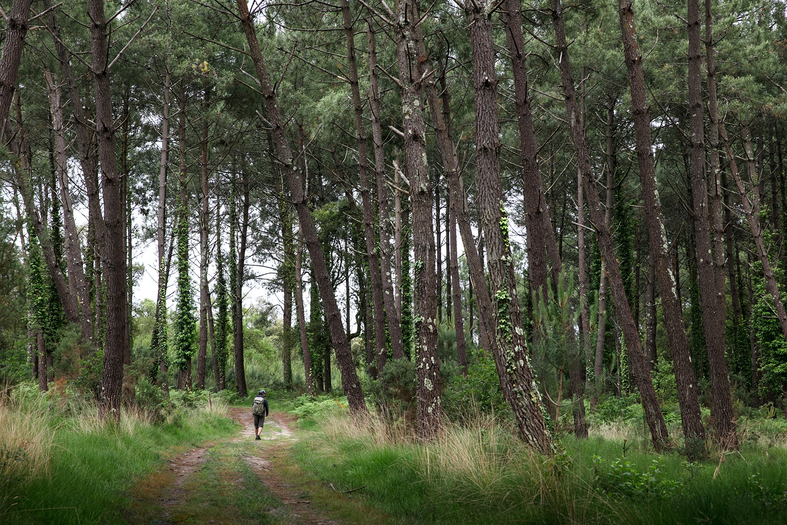
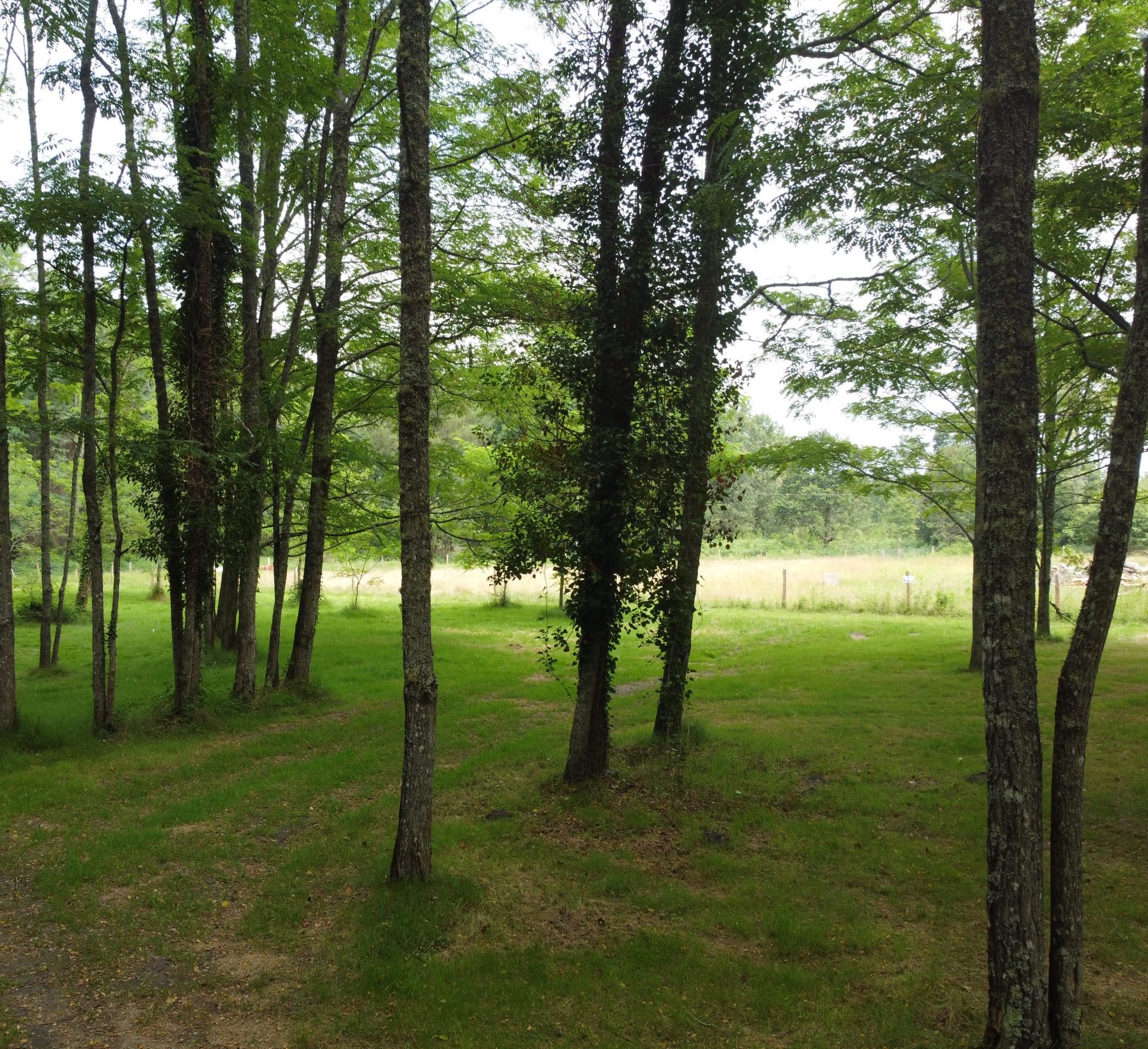
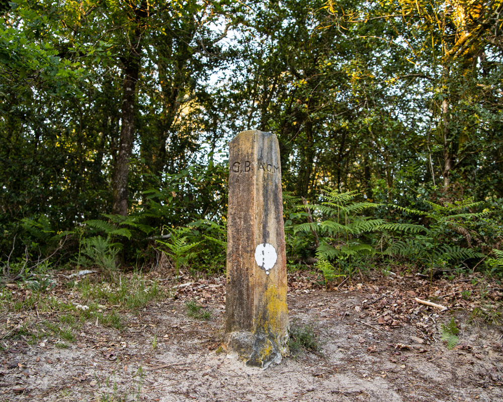
Pretty loop which passes very close to the ponds of Ardy and Forges before leading to the stone of Tinon, milestone of the Middle Ages which delimits five parishes. Between nature and historical heritage, this hike is very pleasant.

Already more than 200,000 users!
Uphill
96m
Highest point
74m
Downhill
99m
Lowest point
19m
Route type
Loop
Download the map on your smartphone to save battery and rest assured to always keep access to the route, even without signal.
Includes IGN France and Swisstopo.
I indicate whether dogs are allowed or prohibited on this trail
All year
1 rating
Also enjoy:

Already more than 200,000 users!