Uphill
113m
Length
12km
Duration
3h30min
Elev gain
113m
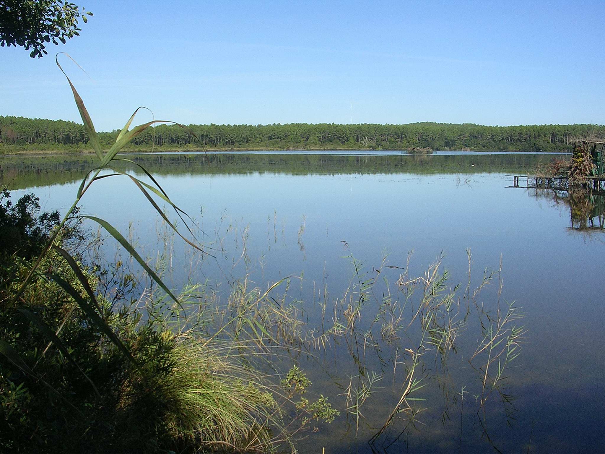
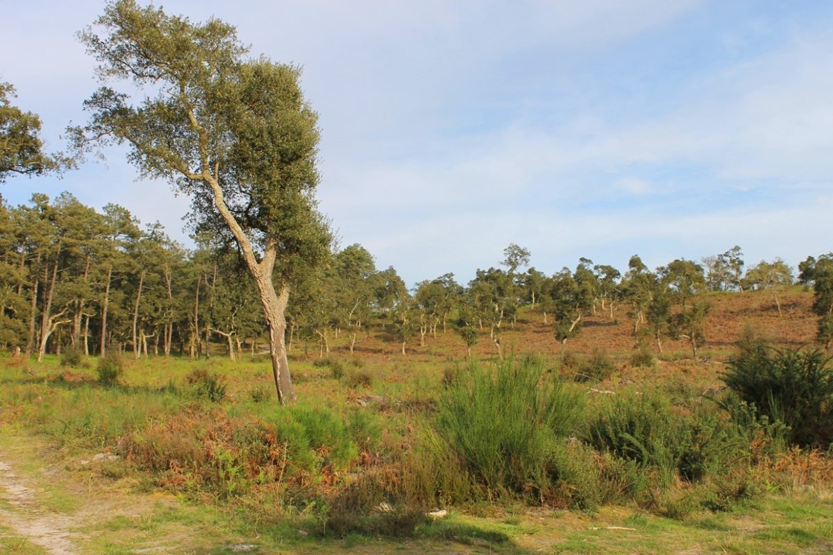
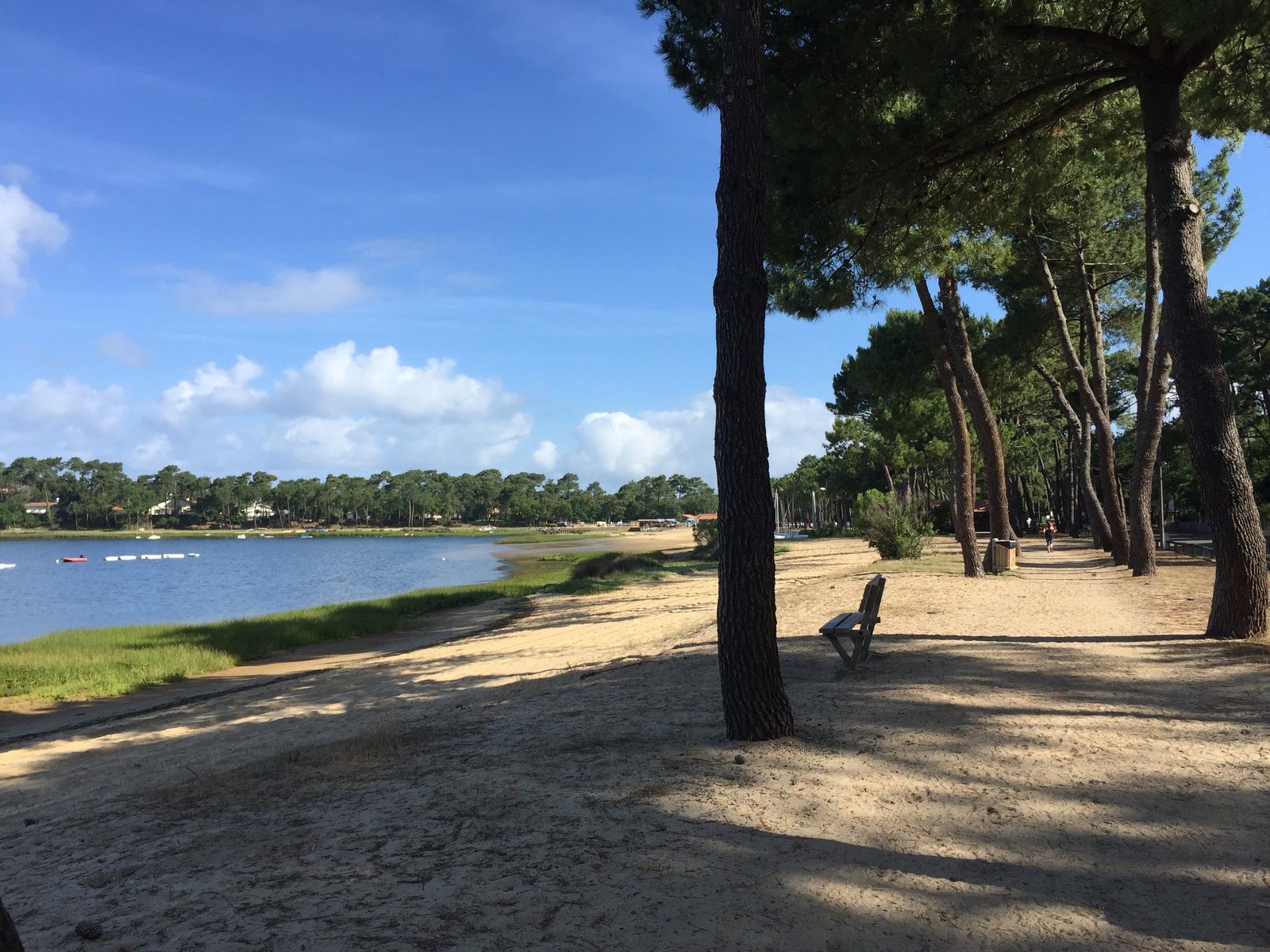
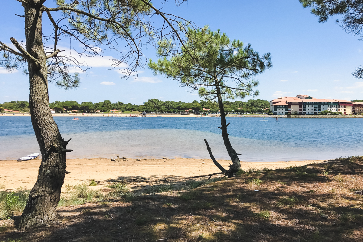
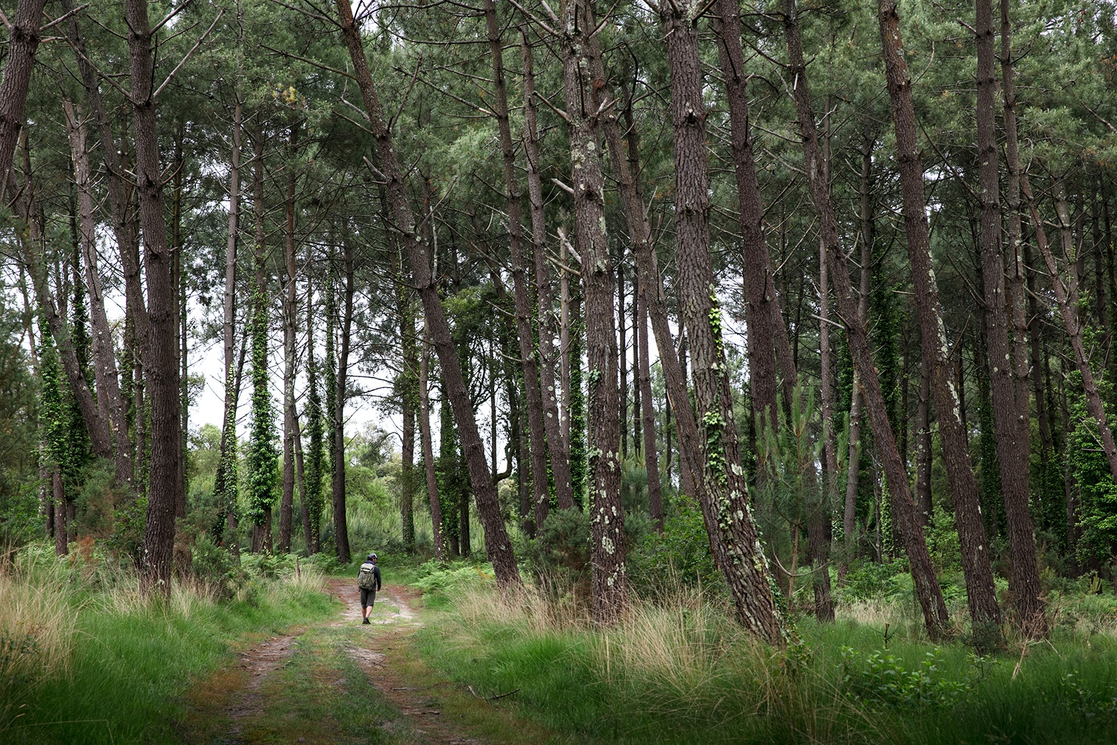
After a brief start on the road, this route allows you to discover the Landes forest and several streams.

Already more than 200,000 users!
Uphill
113m
Highest point
72m
Downhill
113m
Lowest point
16m
Route type
Loop
Download the map on your smartphone to save battery and rest assured to always keep access to the route, even without signal.
Includes IGN France and Swisstopo.
0 ratings
Also enjoy:

Already more than 200,000 users!