Uphill
14m
Length
7km
Duration
2h
Elev gain
14m
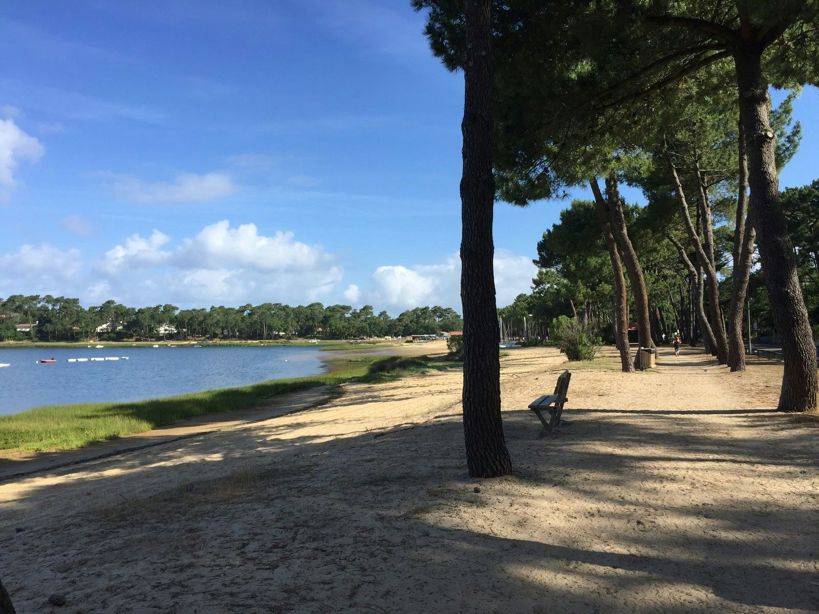
This trail goes around Lake Hossegor, in which sea water enters and leaves with the tides.
Note that this is a walk in the city and not in the middle of nature, the lake being bordered by houses.

Already more than 200,000 users!
Uphill
14m
Highest point
27m
Downhill
14m
Lowest point
6m
Route type
Loop
Download the map on your smartphone to save battery and rest assured to always keep access to the route, even without signal.
Includes IGN France and Swisstopo.
I indicate whether dogs are allowed or prohibited on this trail
All year
1 rating
Also enjoy:

Already more than 200,000 users!


