Uphill
13m
Length
3km
Duration
1h
Elev gain
13m
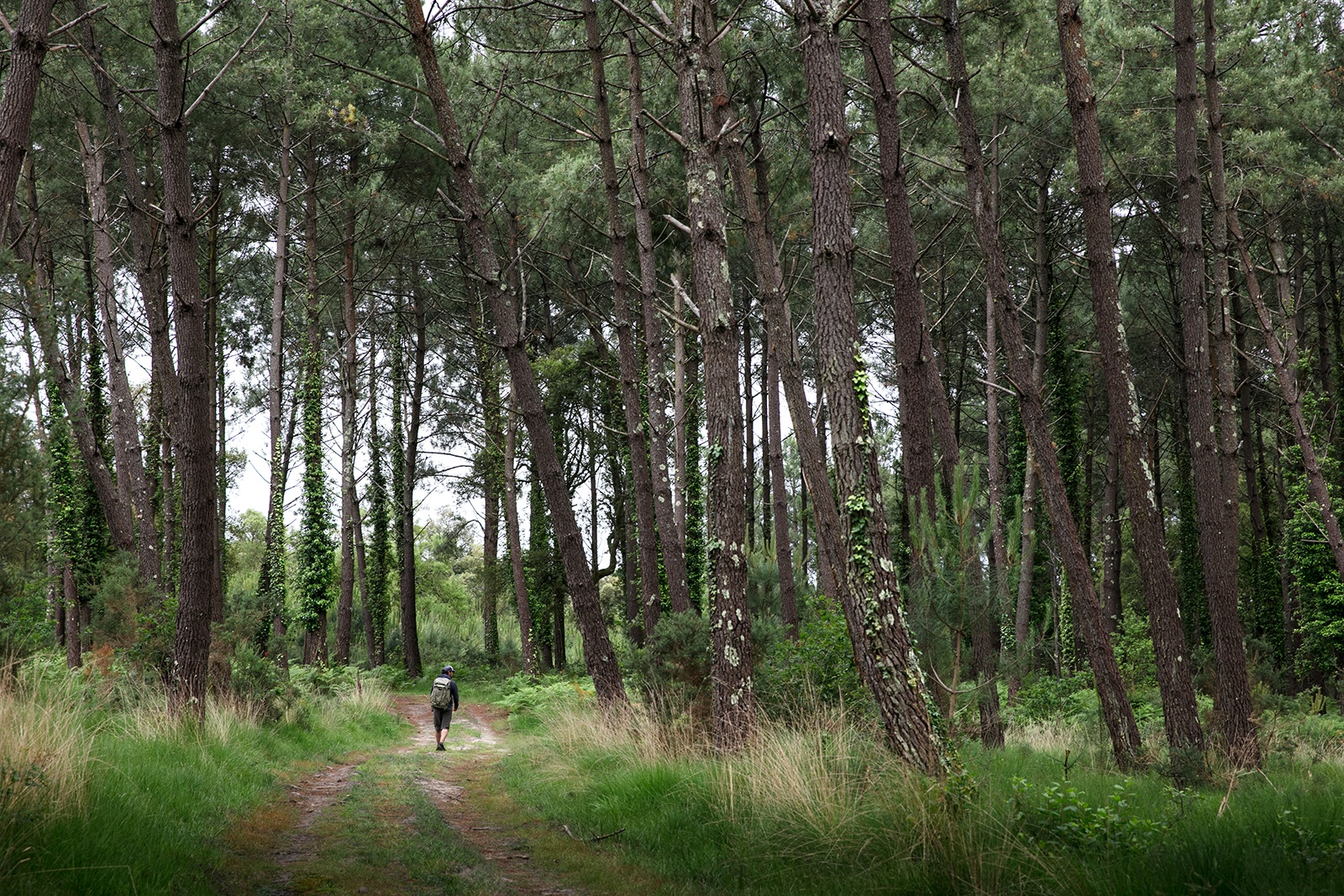
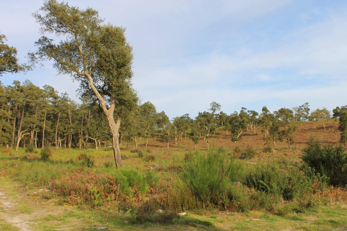
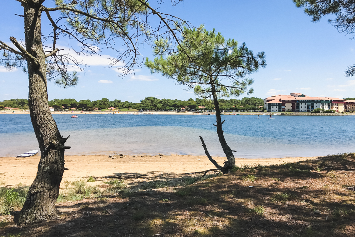
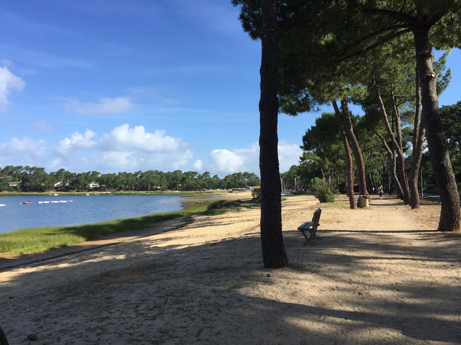
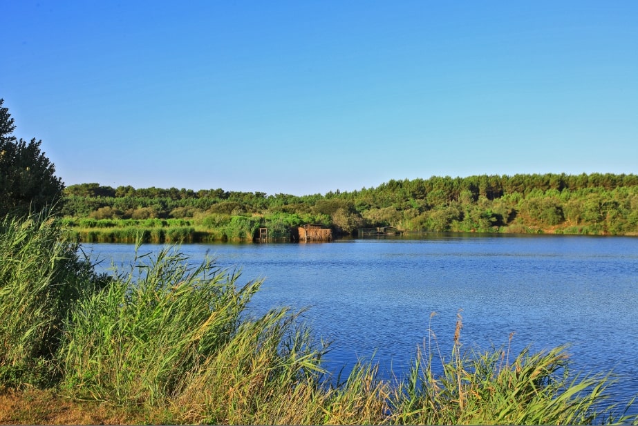
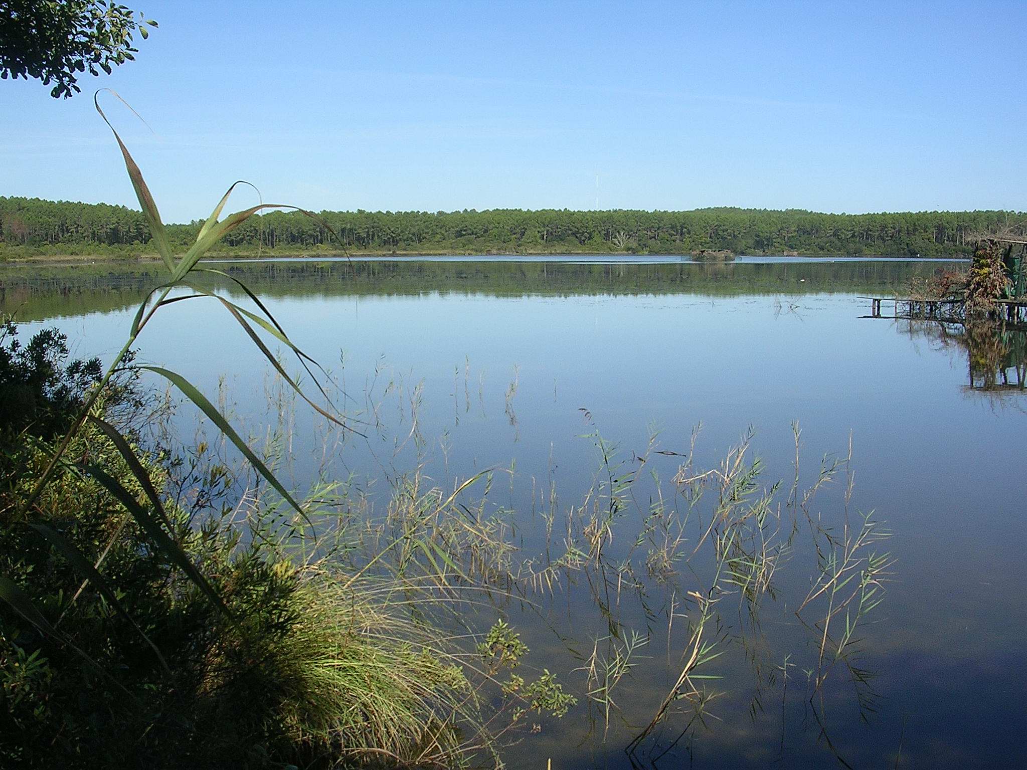
This trail goes around Hardy Pond, but does not approach it closely. Beautiful landscapes between forest, fields and wetlands.

Already more than 200,000 users!
Uphill
13m
Highest point
30m
Downhill
13m
Lowest point
12m
Route type
Loop
Download the map on your smartphone to save battery and rest assured to always keep access to the route, even without signal.
Includes IGN France and Swisstopo.
1 rating
Also enjoy:

Already more than 200,000 users!