Uphill
14m
Length
5km
Duration
1h
Elev gain
14m
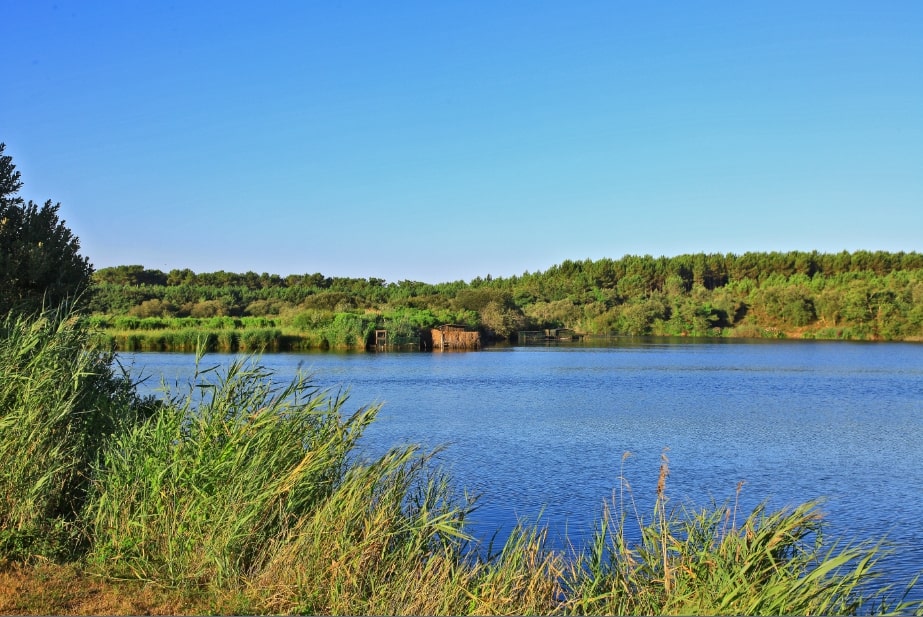
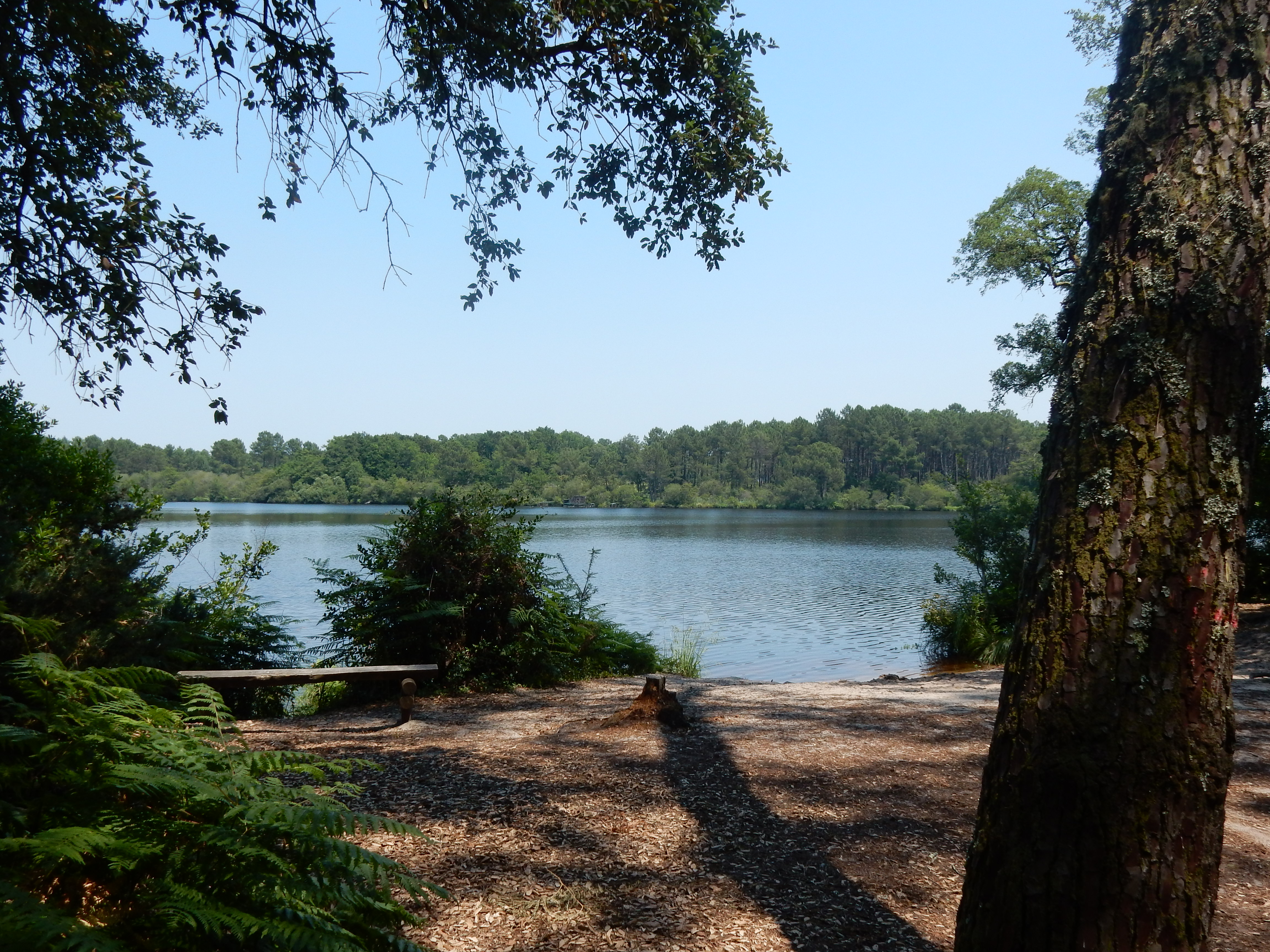
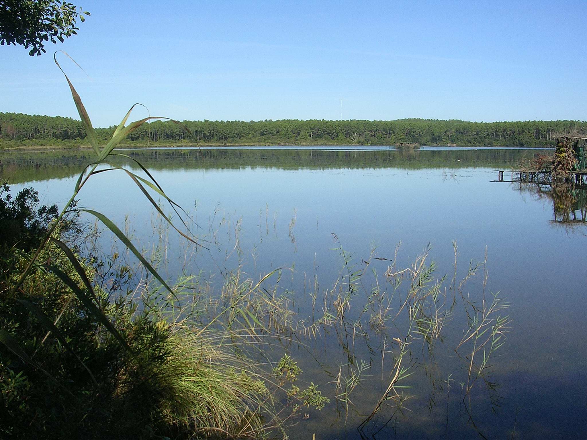
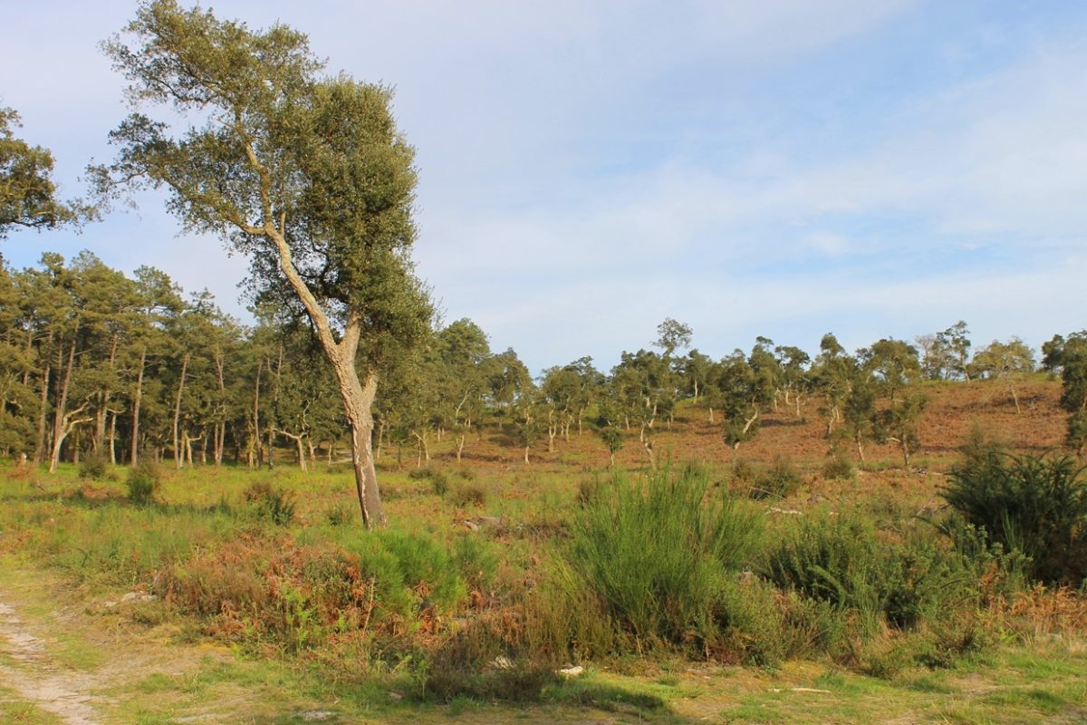
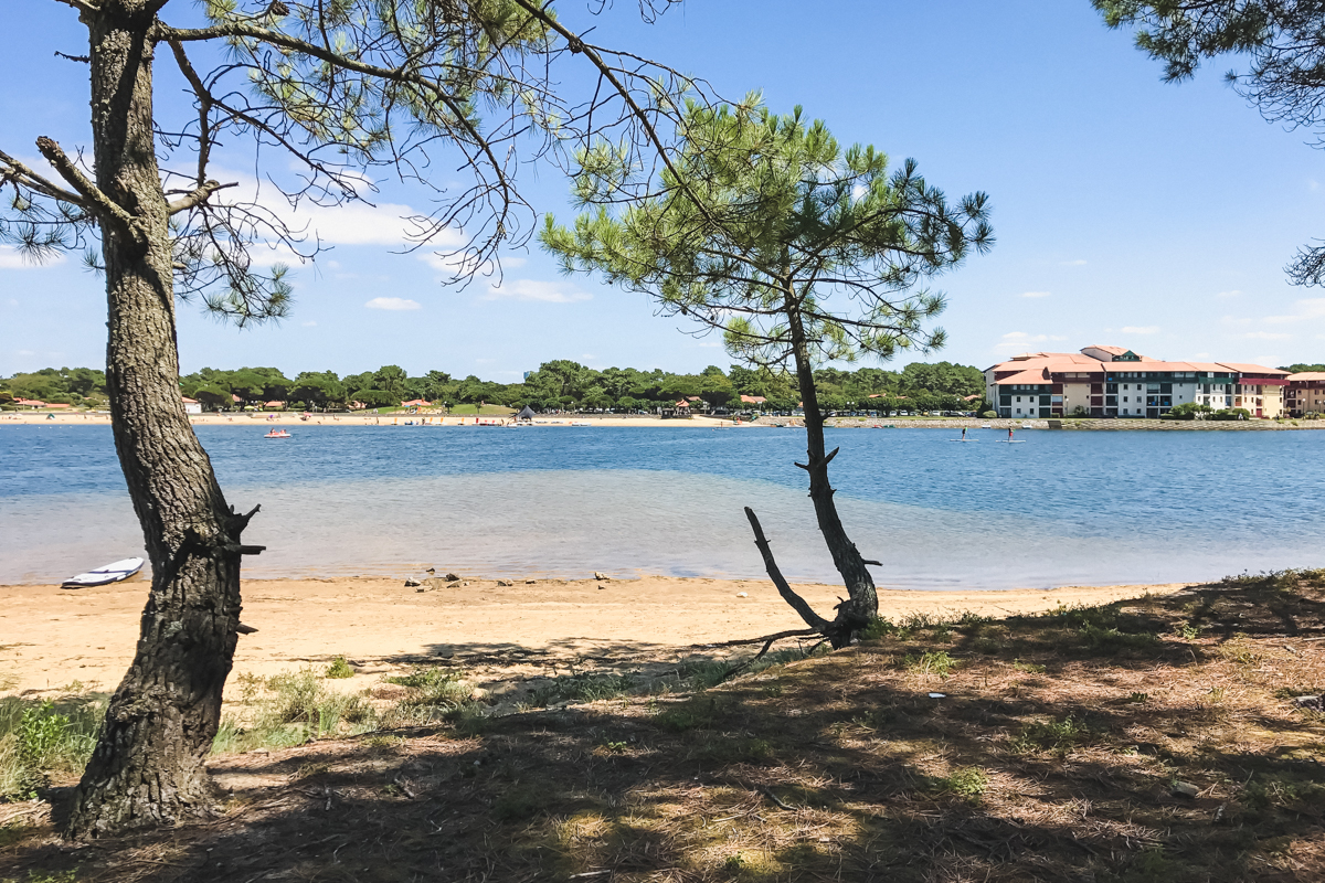
Stroll around the Lac Marin de Port d'Albret, a place that was the Adour estuary before it was diverted to Bayonne. The path alternates between forest and city.

Already more than 200,000 users!
Uphill
14m
Highest point
31m
Downhill
14m
Lowest point
8m
Route type
Loop
Download the map on your smartphone to save battery and rest assured to always keep access to the route, even without signal.
Includes IGN France and Swisstopo.
I indicate whether dogs are allowed or prohibited on this trail
All year
0 ratings
Also enjoy:

Already more than 200,000 users!