Uphill
26m
Length
5km
Duration
1h30min
Elev gain
26m
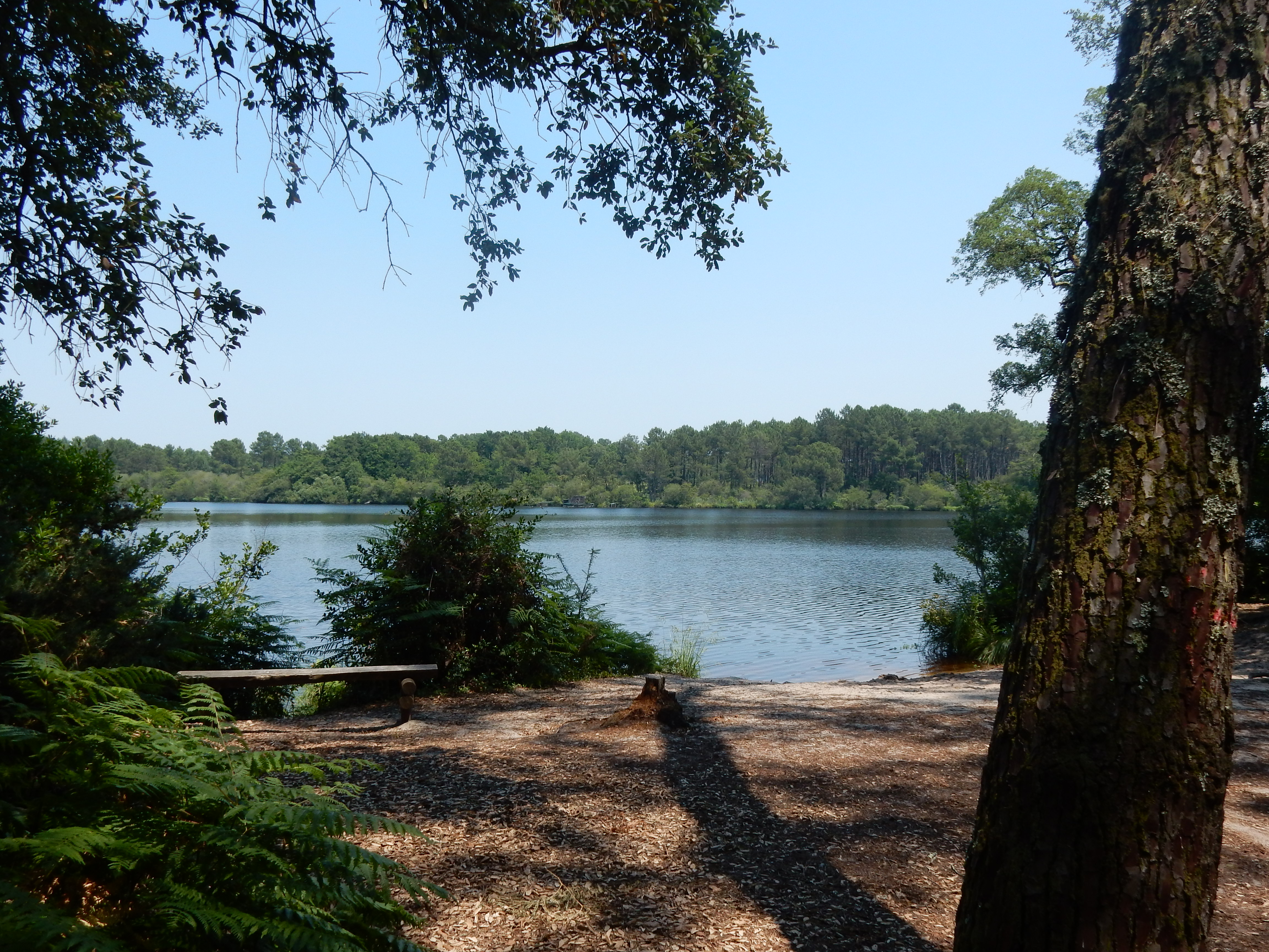
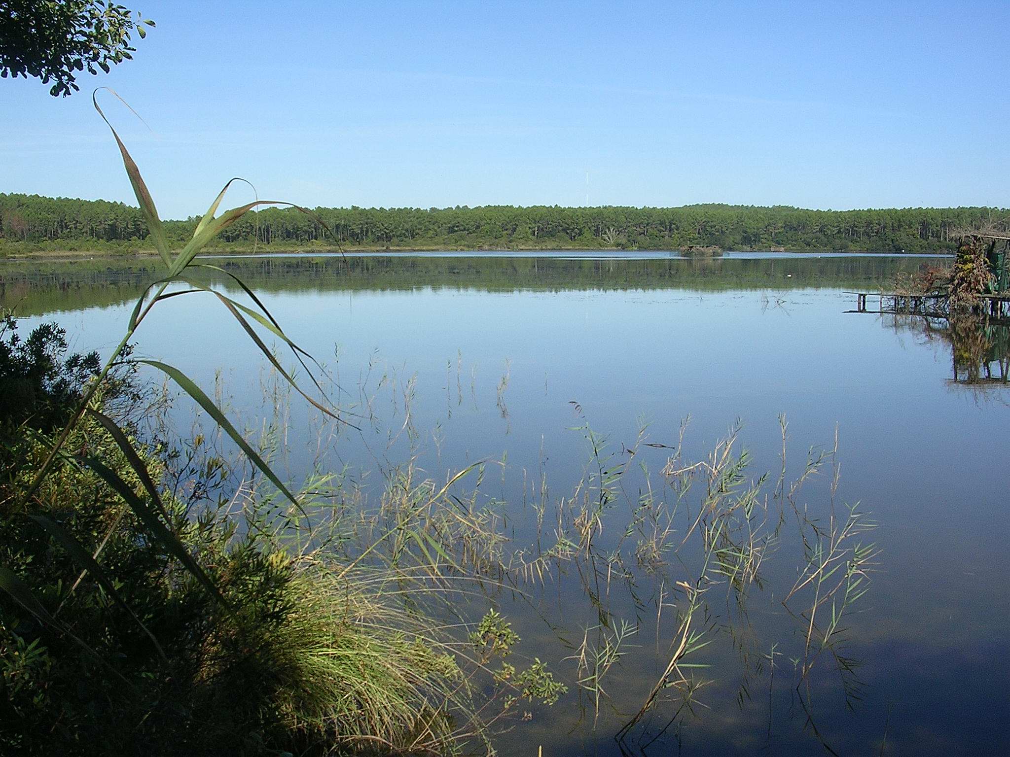
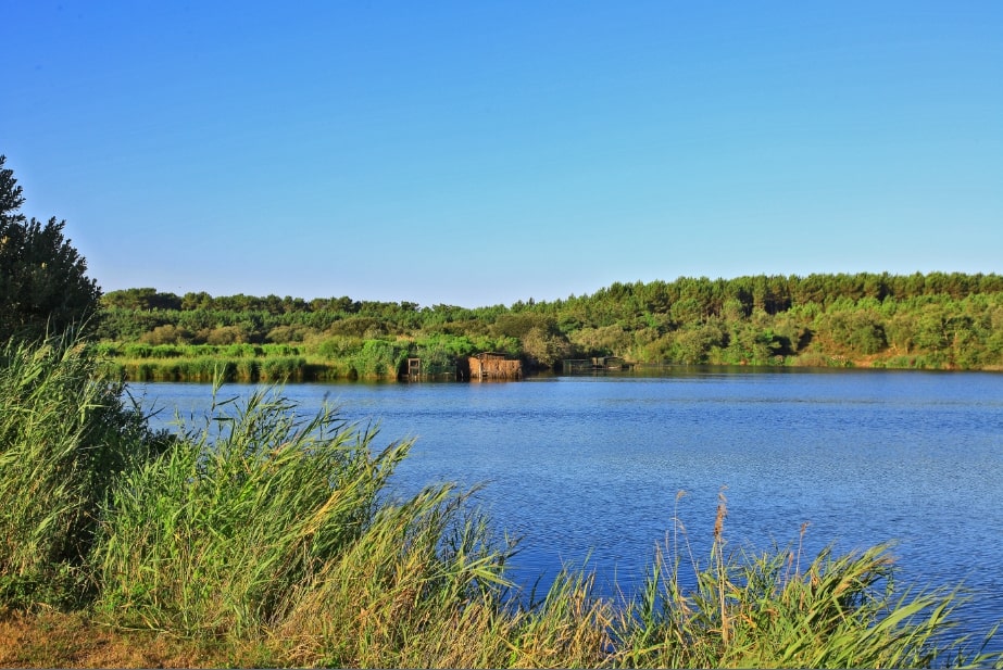
Nice little circuit starting from Messanges. The path runs along the Prade stream before joining the Moïsan pond and going around it. In the middle of wet meadows, the fauna and flora are very beautiful.

Already more than 200,000 users!
Uphill
26m
Highest point
21m
Downhill
26m
Lowest point
7m
Route type
Loop
Download the map on your smartphone to save battery and rest assured to always keep access to the route, even without signal.
Includes IGN France and Swisstopo.
I indicate whether dogs are allowed or prohibited on this trail
All year
0 ratings
Also enjoy:

Already more than 200,000 users!