Uphill
103m
Length
10km
Duration
2h30min
Elev gain
103m
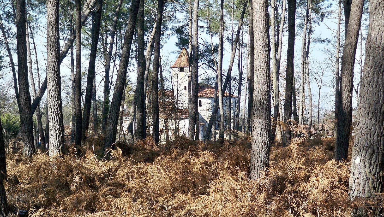
Nice little loop that connects Saint-Justin to Douzevielle. The path crosses the Lamoulette stream then that of Douzevielle before reaching the village bearing the same name. It then continues near the Twelve to the starting point. Between forest, fields and hamlets, the landscapes are varied and pleasant.

Already more than 200,000 users!
Uphill
103m
Highest point
122m
Downhill
103m
Lowest point
80m
Route type
Loop
Download the map on your smartphone to save battery and rest assured to always keep access to the route, even without signal.
Includes IGN France and Swisstopo.
I indicate whether dogs are allowed or prohibited on this trail
All year
0 ratings
Also enjoy:

Already more than 200,000 users!


