Uphill
87m
Length
5km
Duration
1h30min
Elev gain
87m
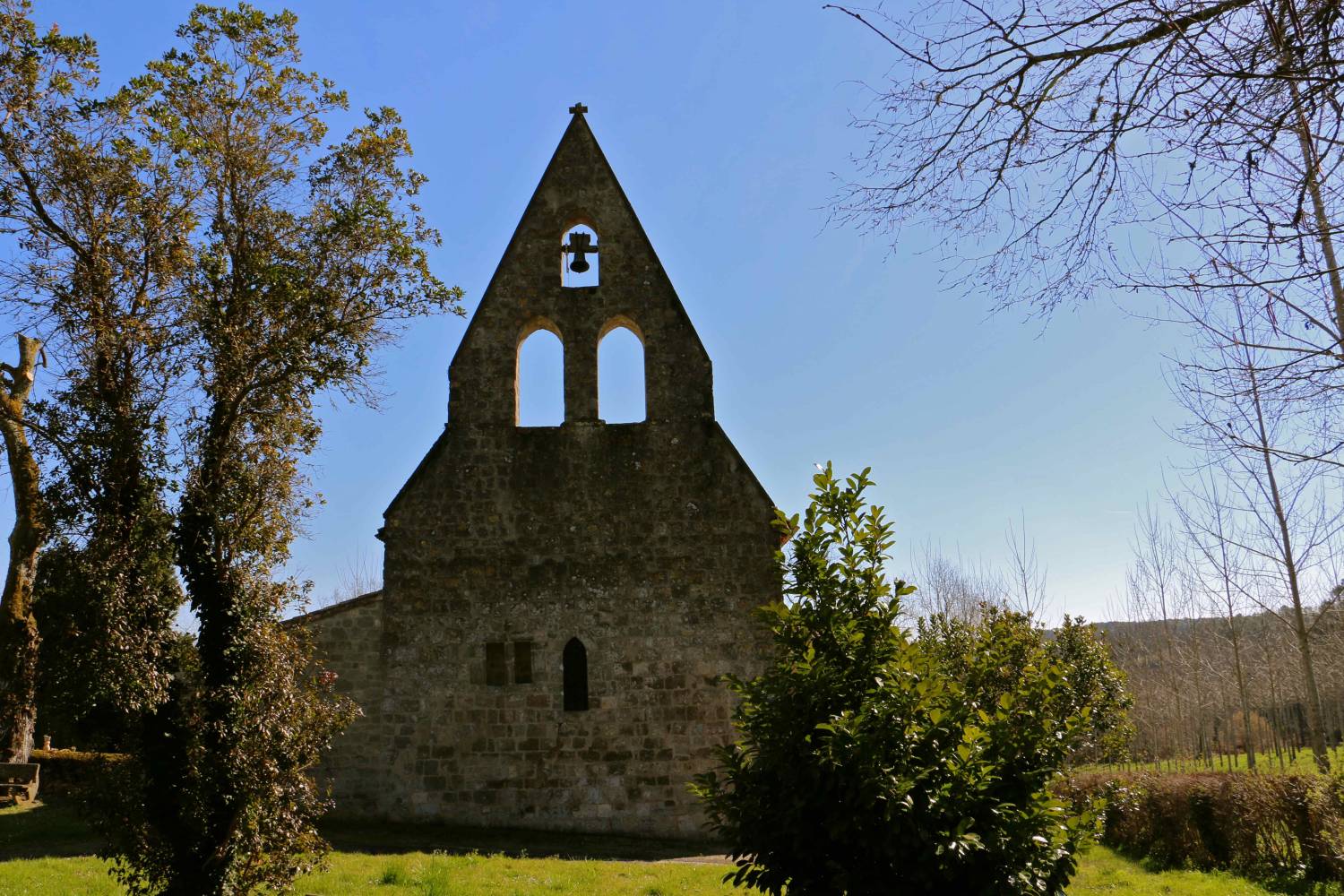
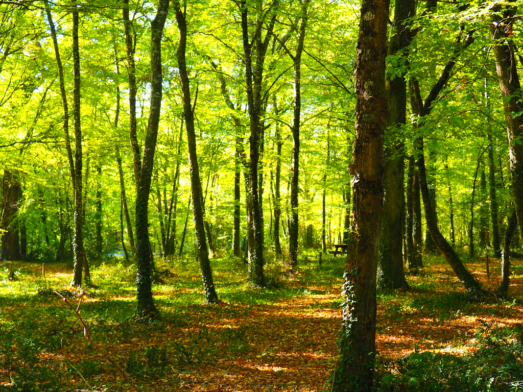
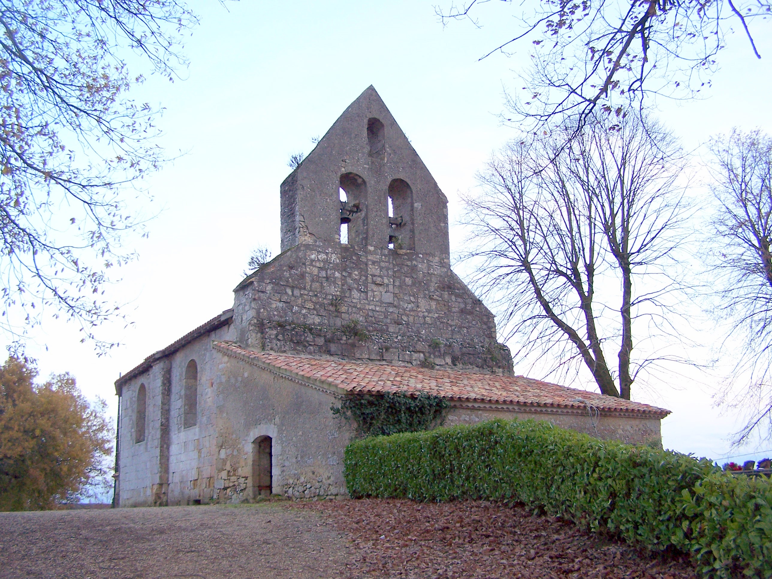
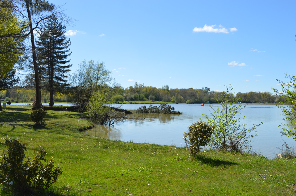
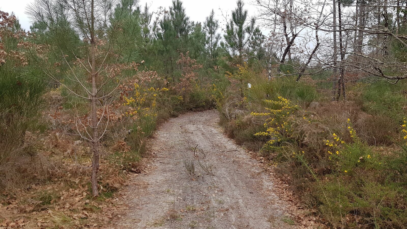
This walk takes place very close to Fargues-sur-Ourbise, in the heart of the national forest of Campet. The course makes a small loop in the undergrowth and winds around the small Avance river.

Already more than 200,000 users!
Uphill
87m
Highest point
153m
Downhill
87m
Lowest point
104m
Route type
Loop
Download the map on your smartphone to save battery and rest assured to always keep access to the route, even without signal.
Includes IGN France and Swisstopo.
I indicate whether dogs are allowed or prohibited on this trail
All year
1 rating
Also enjoy:

Already more than 200,000 users!