Uphill
88m
Length
7km
Duration
2h
Elev gain
88m
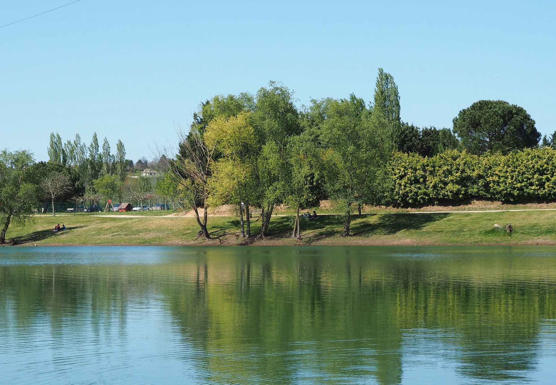
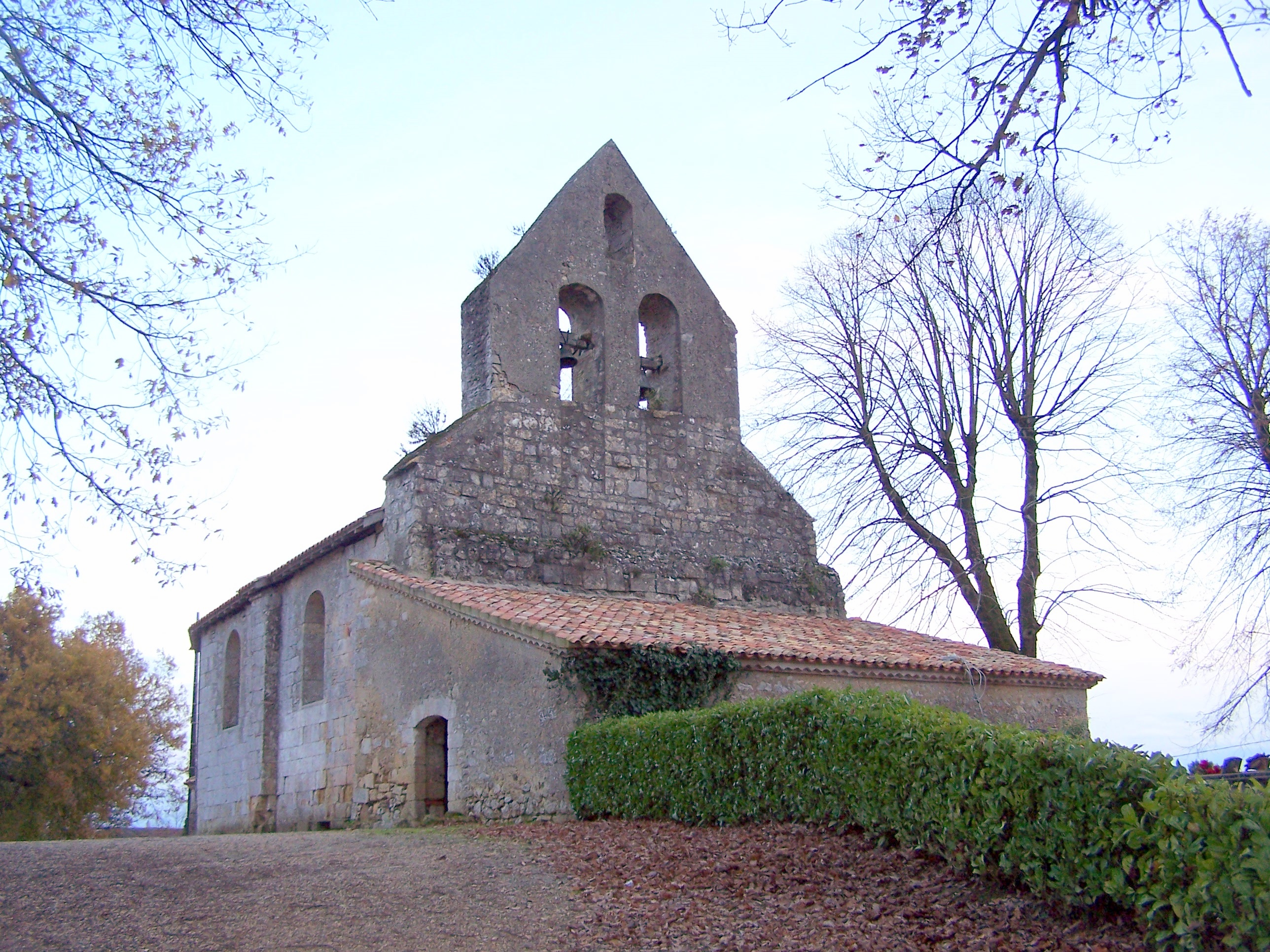
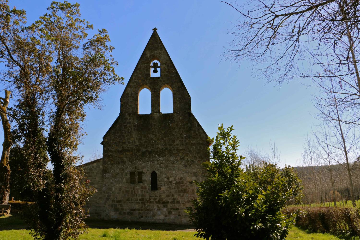
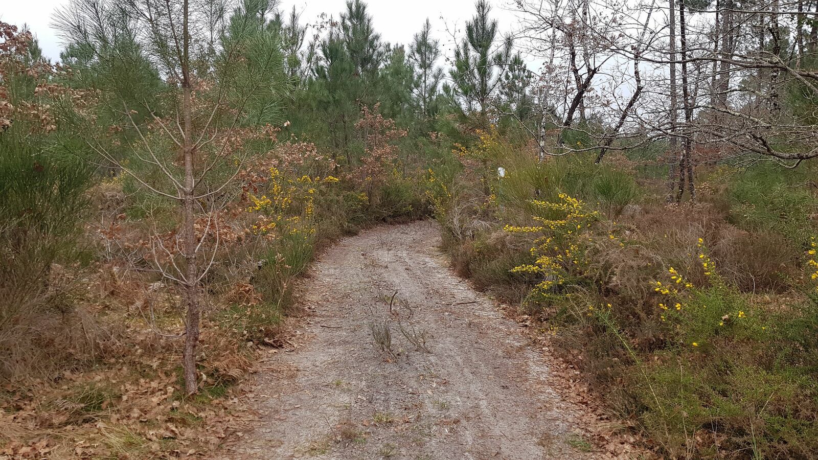
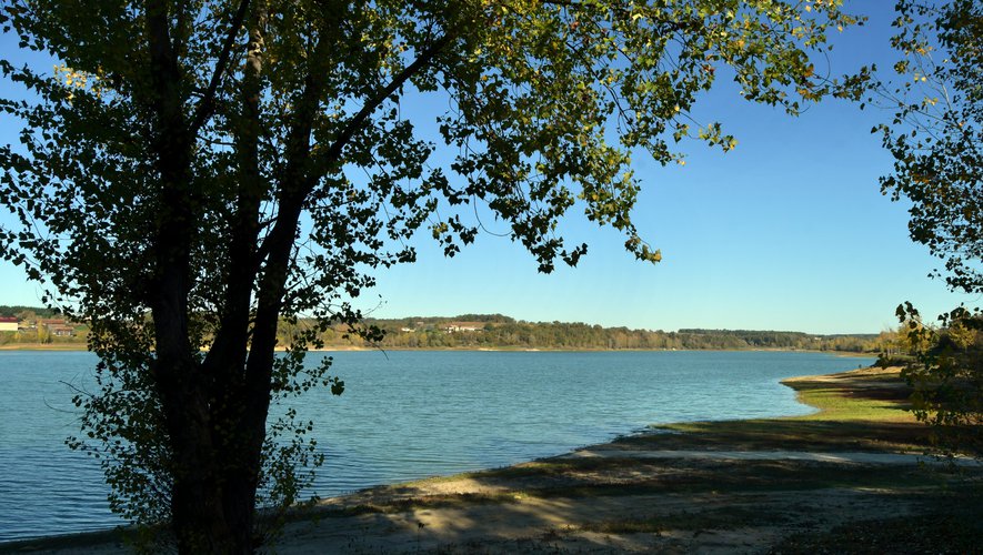
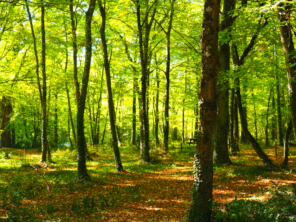
Beautiful little hike mainly in the undergrowth in the town of Mas-d'Agenais. The route makes a loop in the forest and passes over the highway twice.
Warning: bring long clothes because mosquitoes are numerous in summer.

Already more than 200,000 users!
Uphill
88m
Highest point
113m
Downhill
88m
Lowest point
67m
Route type
Loop
Download the map on your smartphone to save battery and rest assured to always keep access to the route, even without signal.
Includes IGN France and Swisstopo.
I indicate whether dogs are allowed or prohibited on this trail
All year
0 ratings
Also enjoy:

Already more than 200,000 users!