Uphill
208m
Length
9km
Duration
2h30min
Elev gain
208m
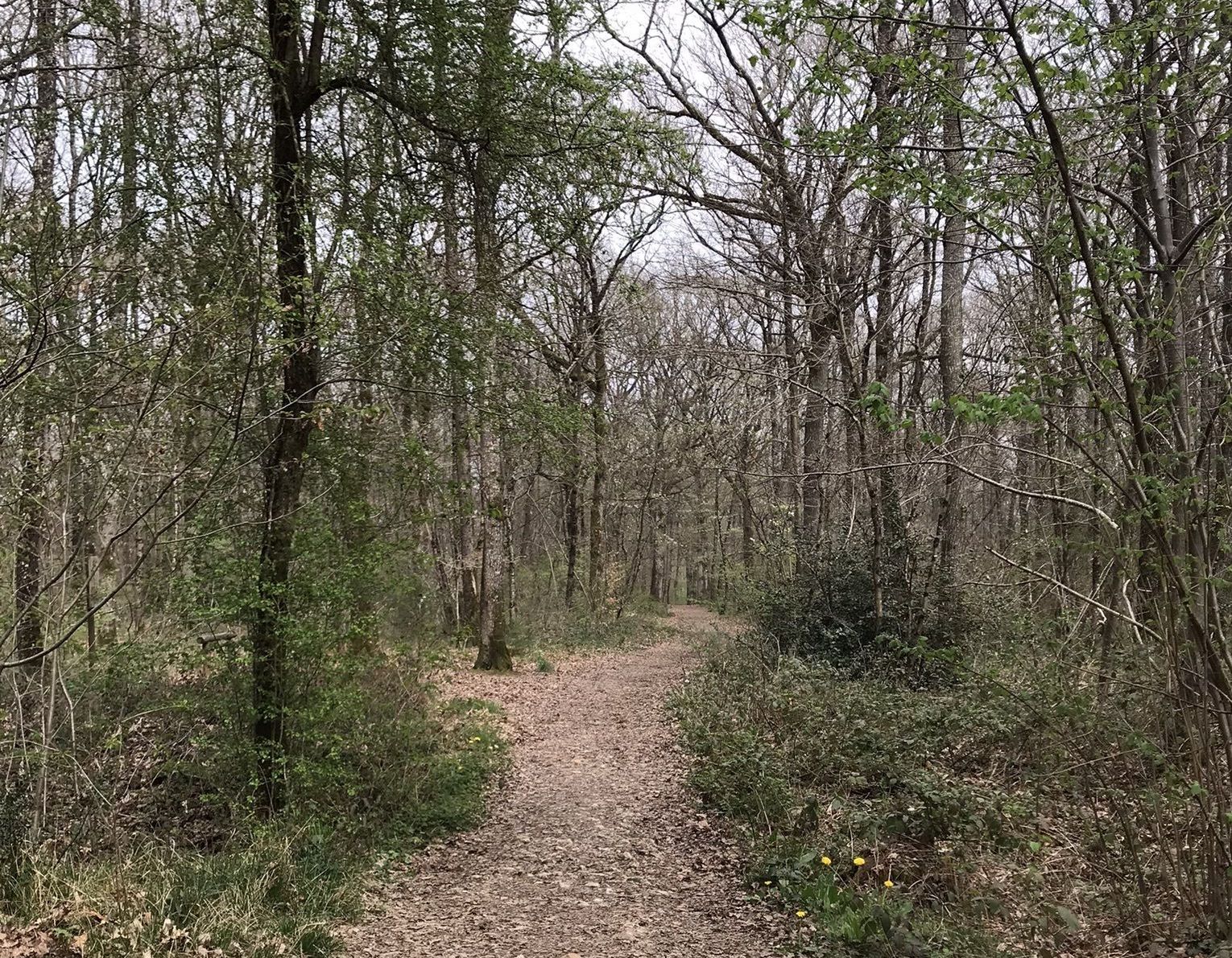
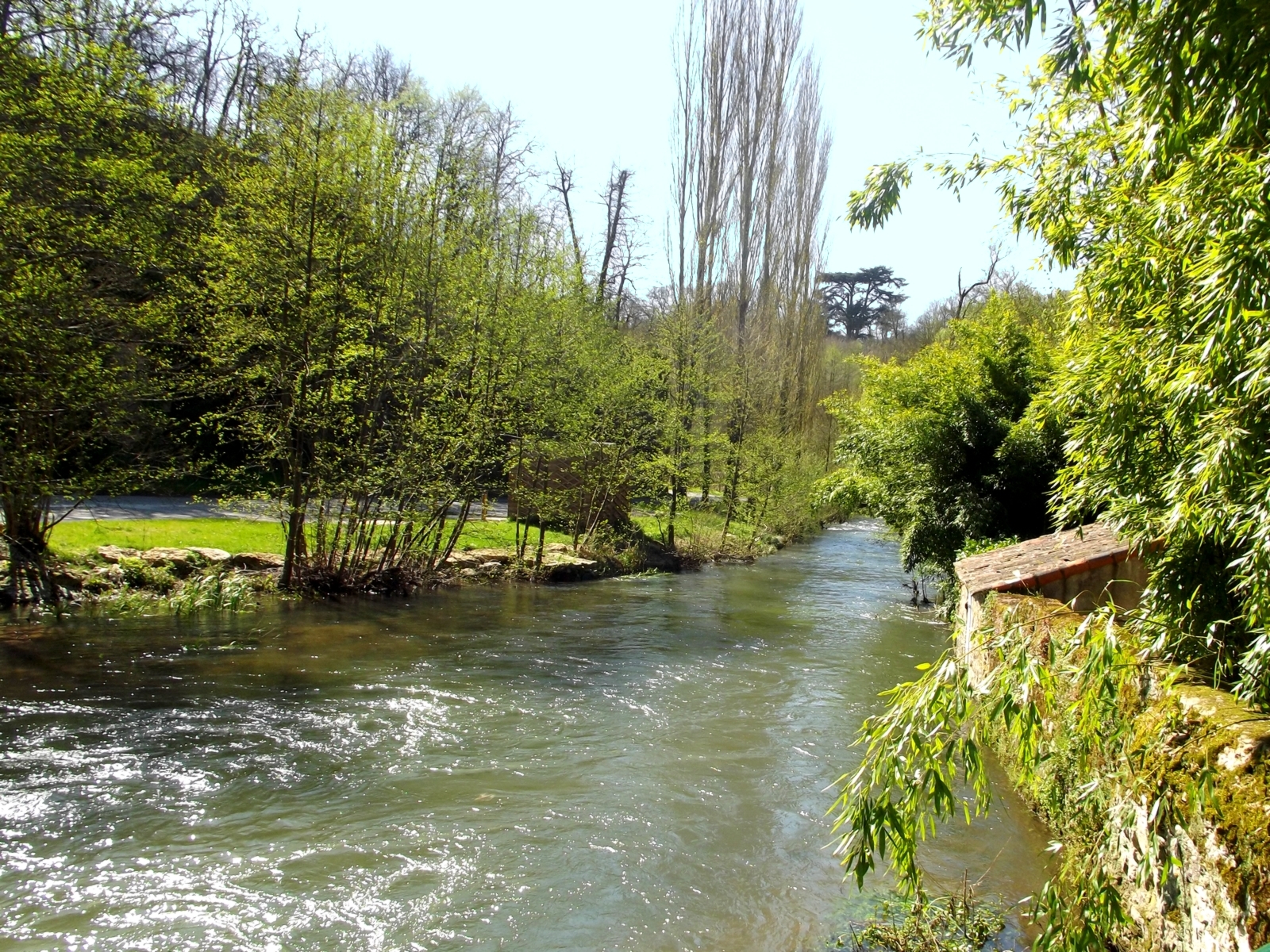
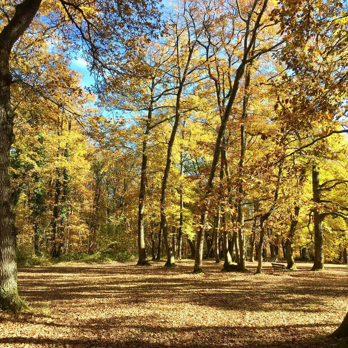
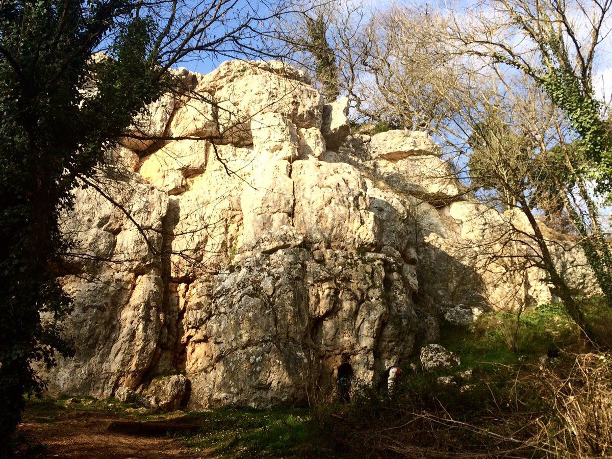
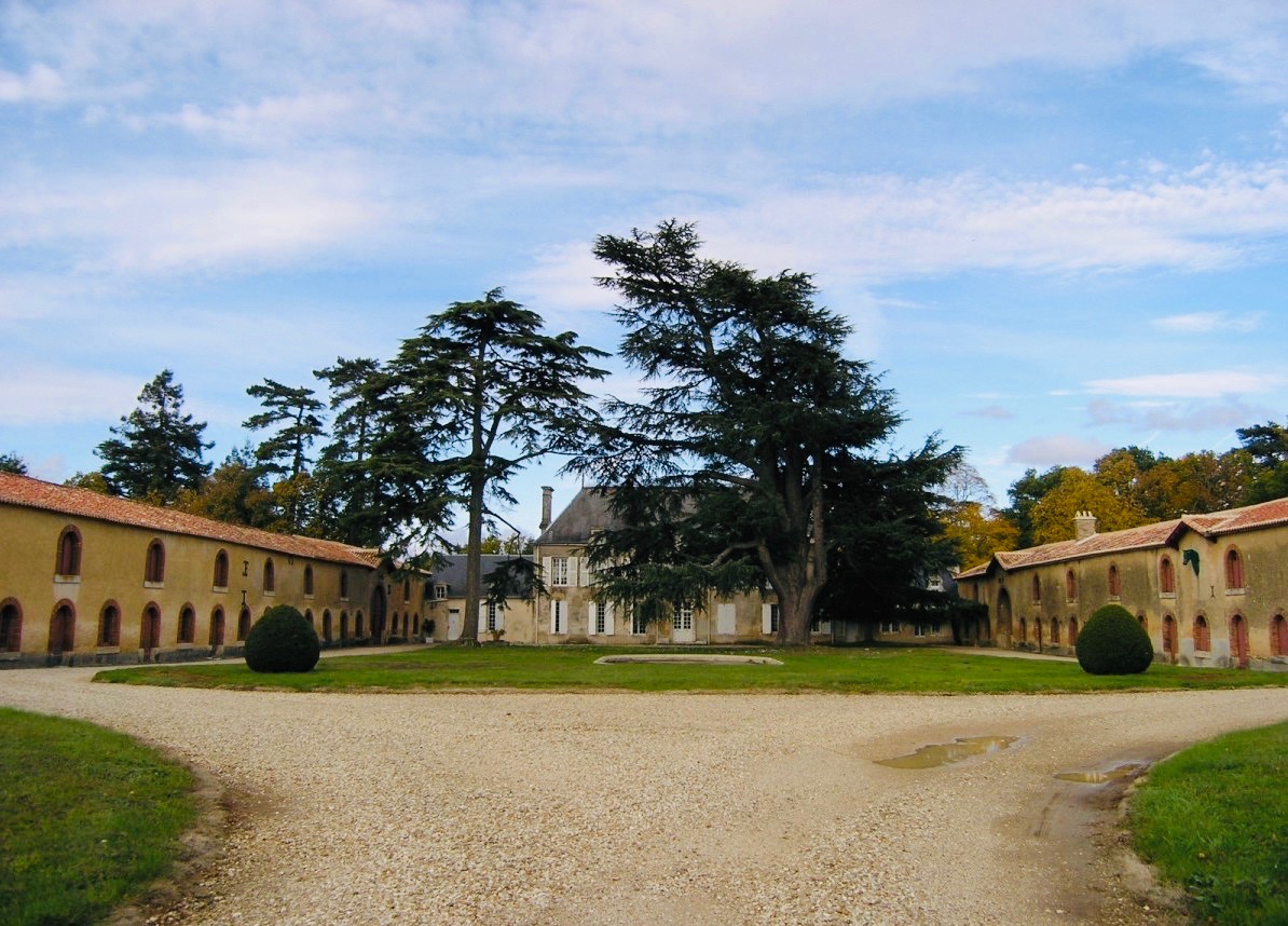
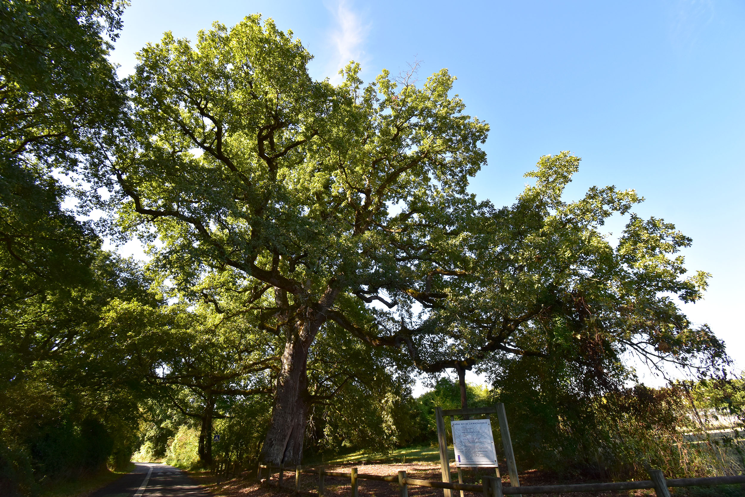
Pretty walk located south of Poitiers. The route makes a loop in the woods then passes through the Matauderie before returning to the starting point. A beautiful walk in nature near the city.

Already more than 200,000 users!
Uphill
208m
Highest point
150m
Downhill
208m
Lowest point
60m
Route type
Loop
Download the map on your smartphone to save battery and rest assured to always keep access to the route, even without signal.
Includes IGN France and Swisstopo.
I indicate whether dogs are allowed or prohibited on this trail
All year
0 ratings
Also enjoy:

Already more than 200,000 users!