Uphill
185m
France > Nouvelle-Aquitaine > Vienne
Length
7km
Duration
2h30min
Elev gain
185m
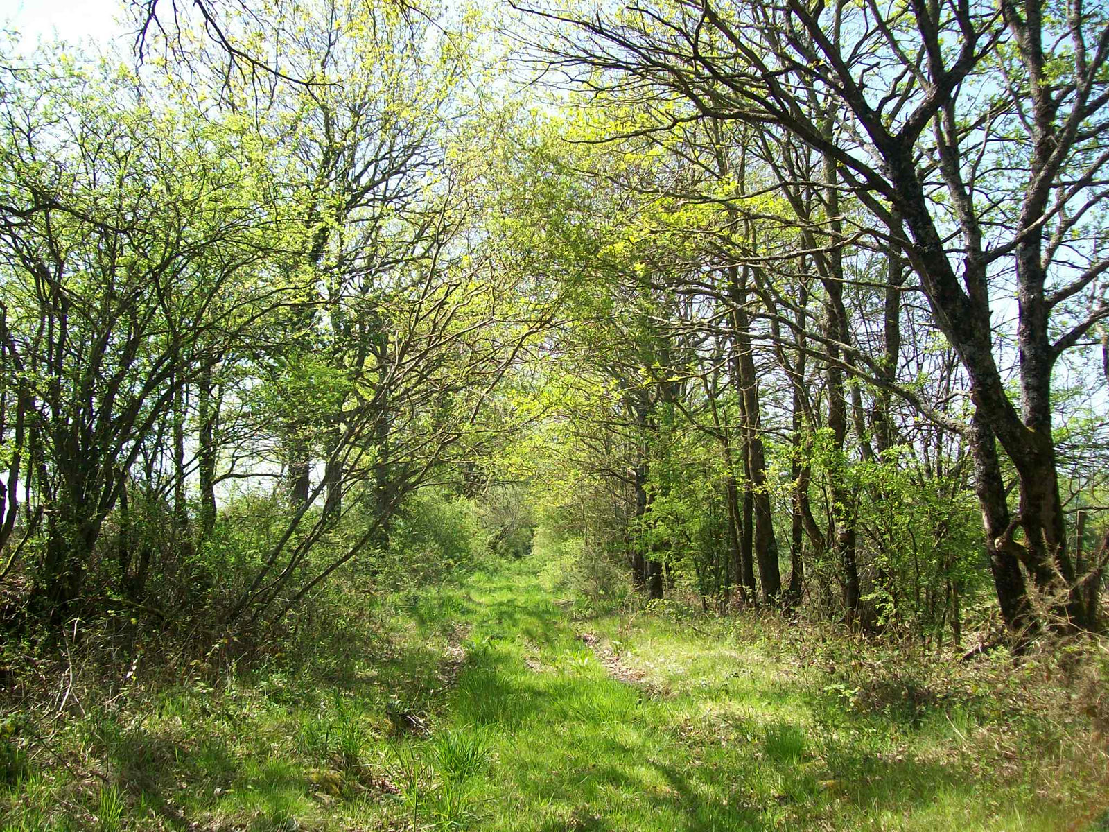
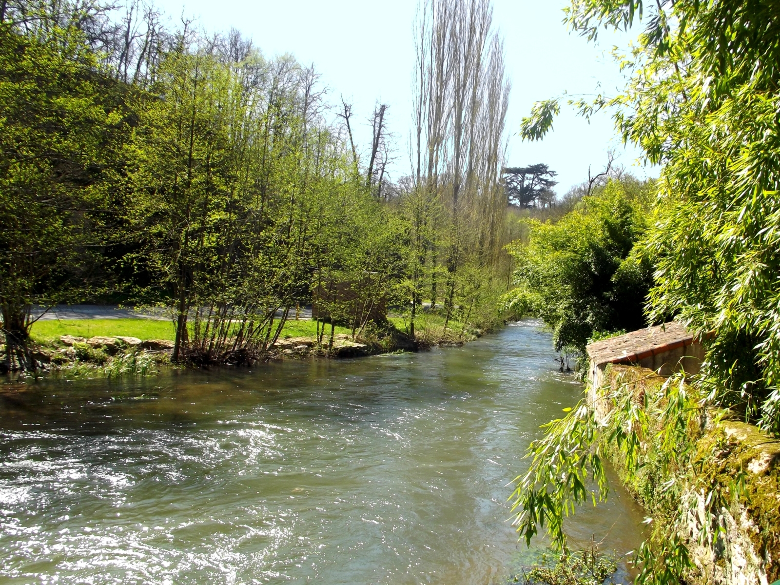
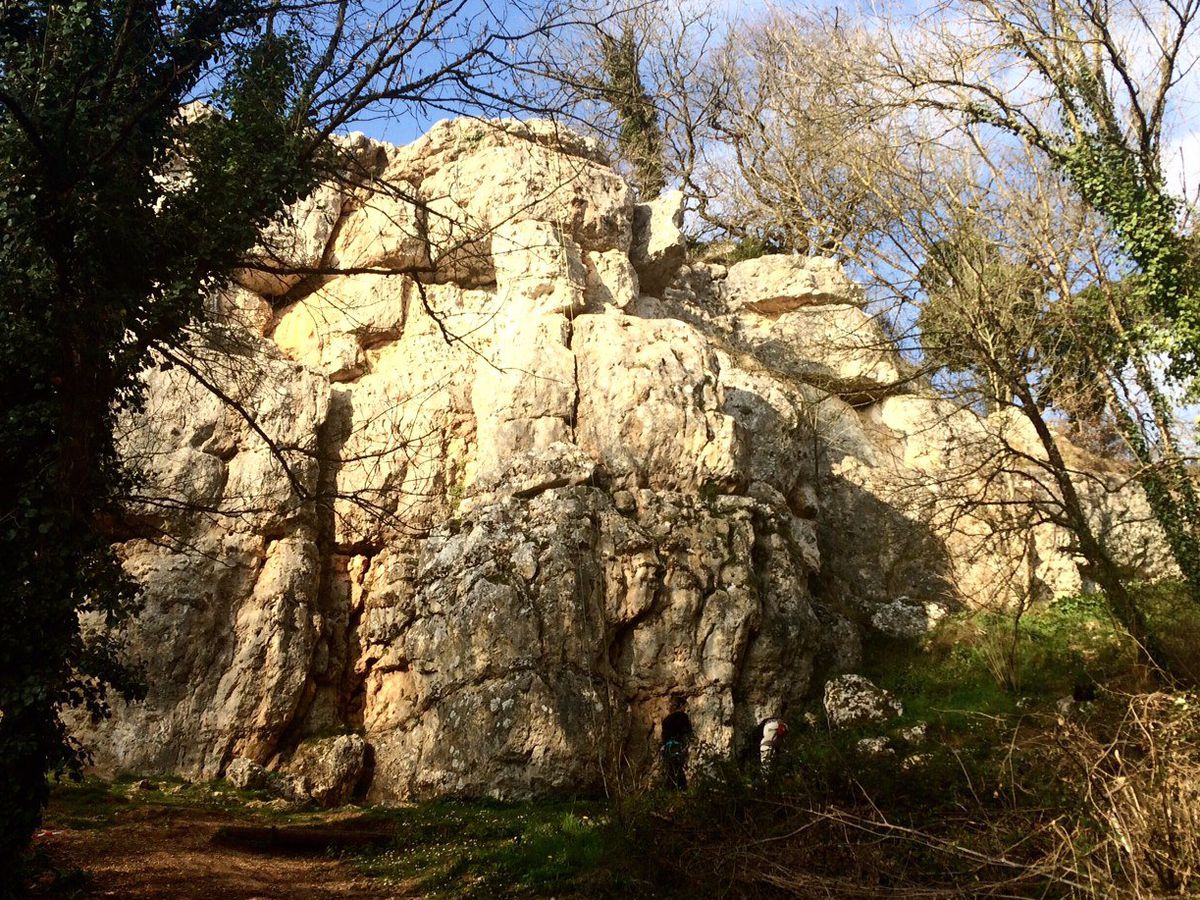
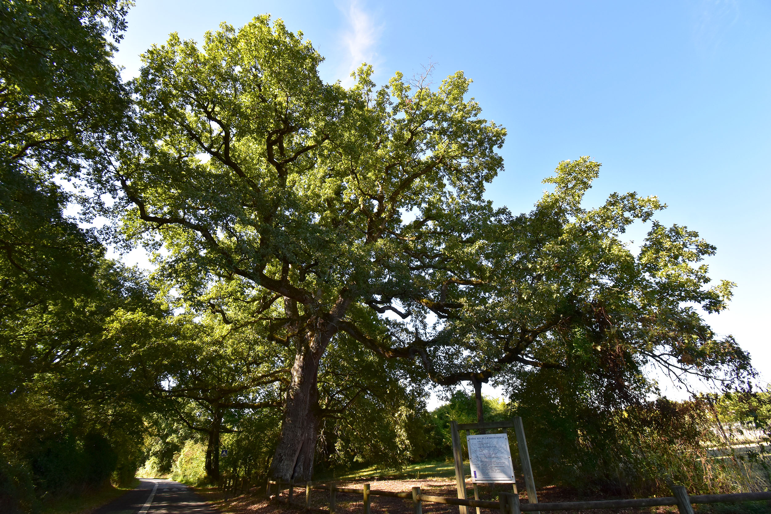
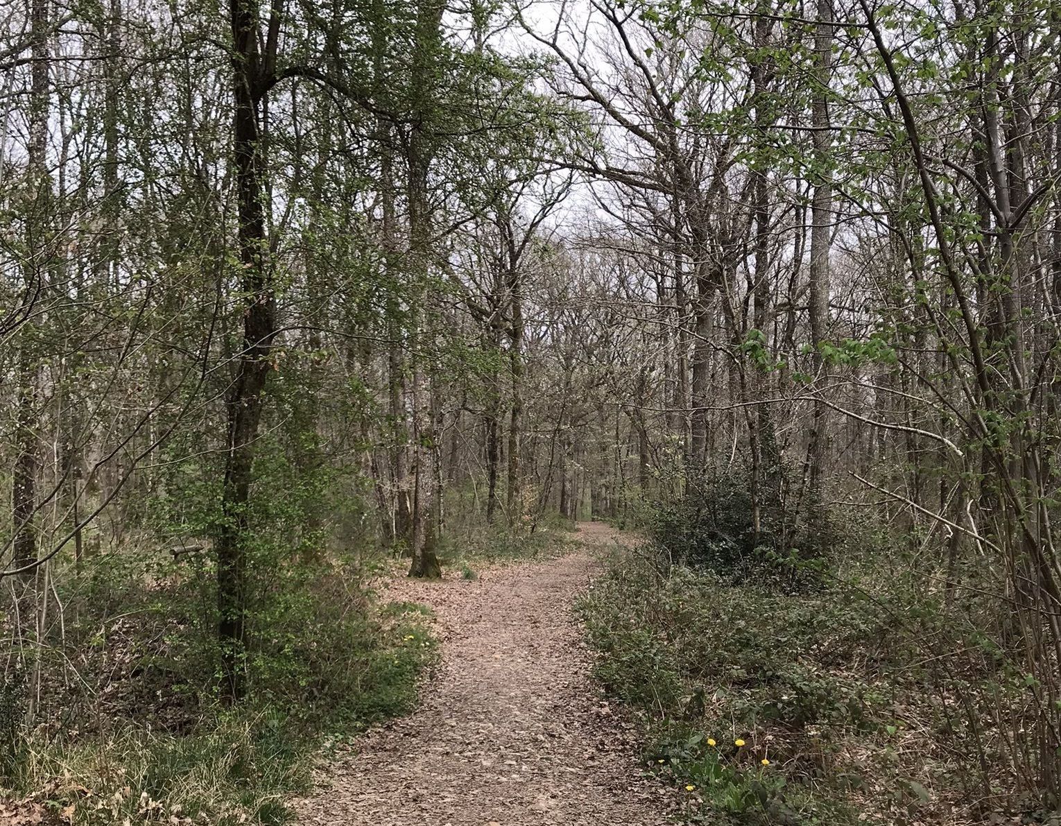
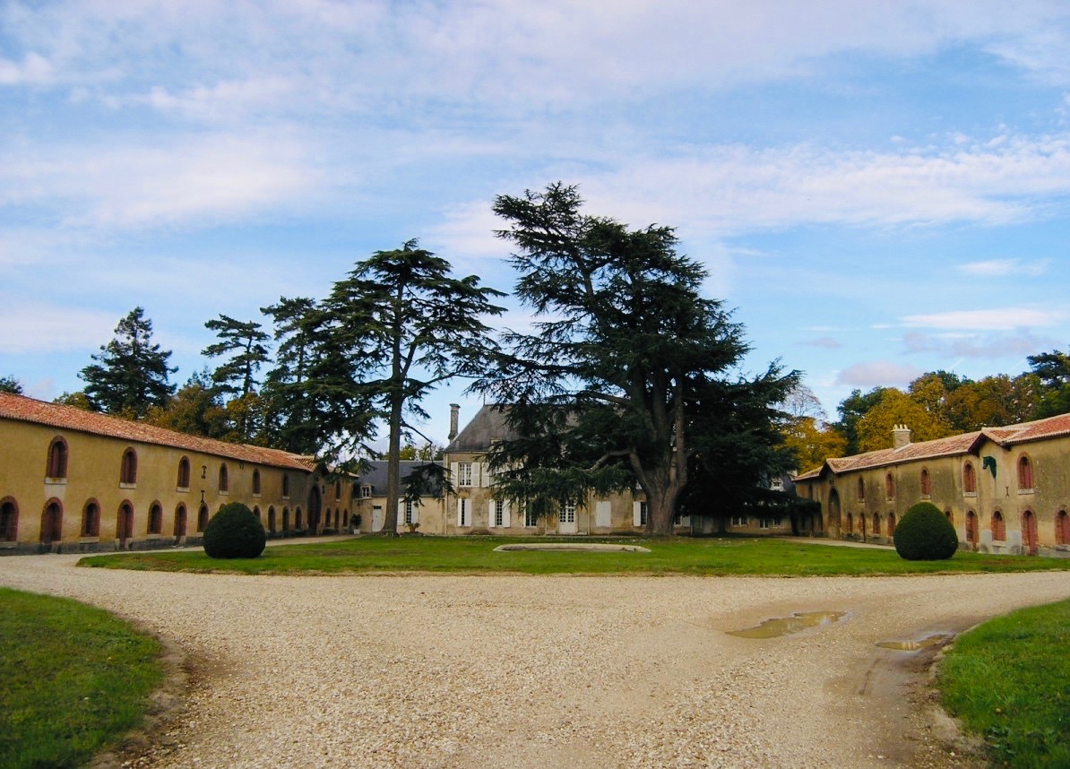
Departing from Béruges, this walk explores two castles: the Château de la Raudière and the Château de la Commanderie. The trail partly runs along the Boivre to return to the starting point, all in a pleasant and peaceful setting.

Already more than 200,000 users!
Uphill
185m
Highest point
154m
Downhill
185m
Lowest point
76m
Route type
Loop
Download the map on your smartphone to save battery and rest assured to always keep access to the route, even without signal.
Includes IGN France and Swisstopo.
I indicate whether dogs are allowed or prohibited on this trail
All year
1 rating
Also enjoy:

Already more than 200,000 users!