Uphill
168m
Length
9km
Duration
2h30min
Elev gain
168m
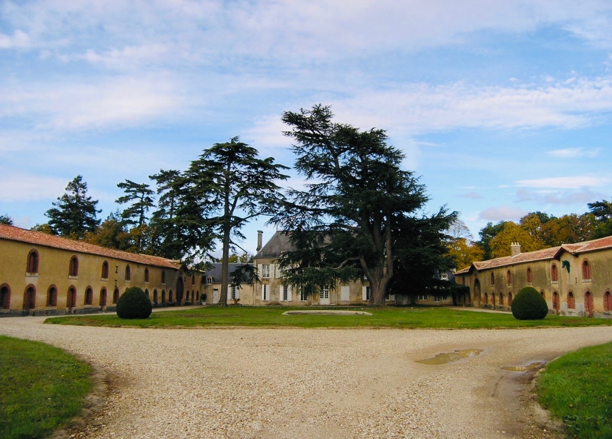
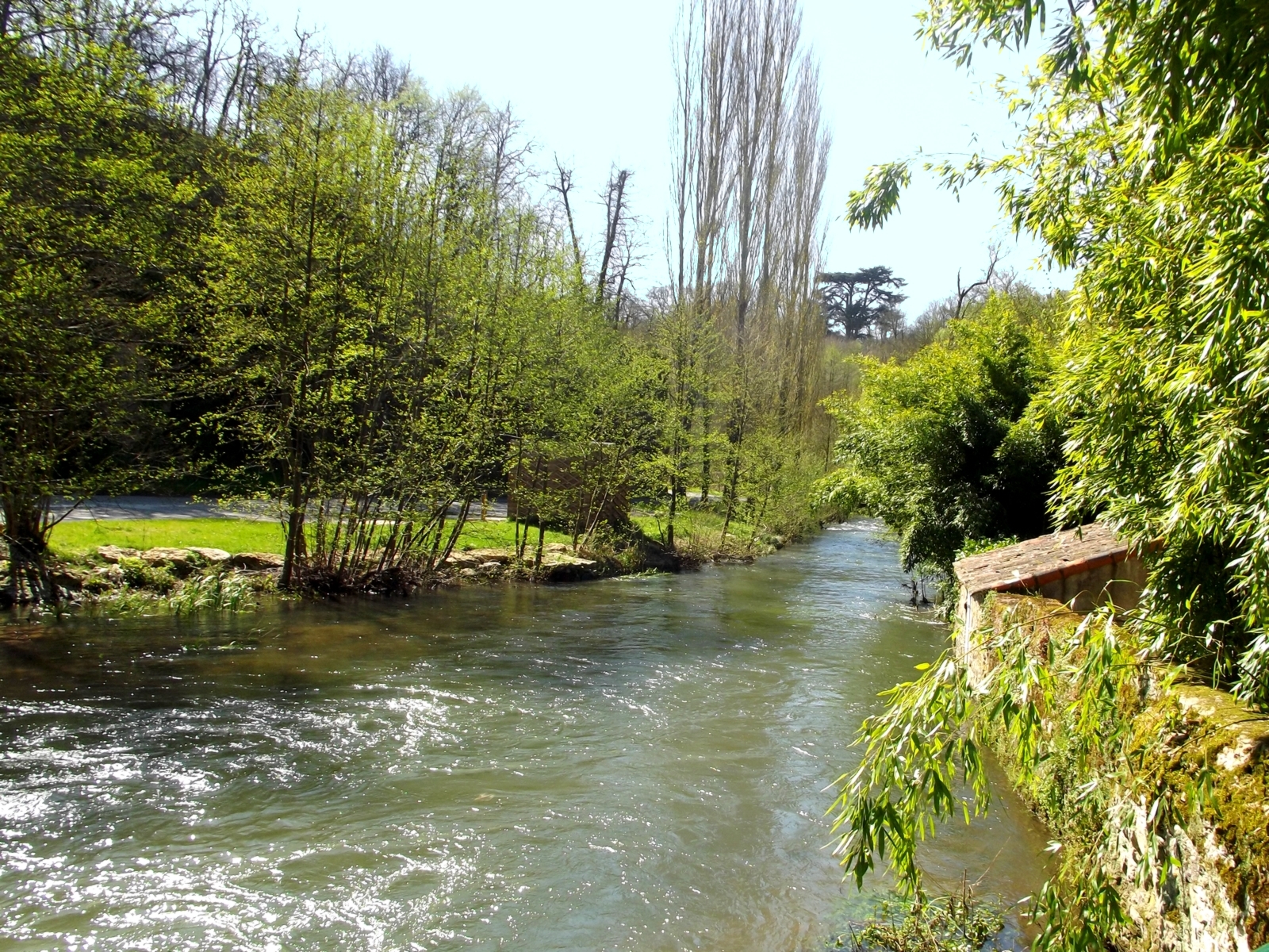
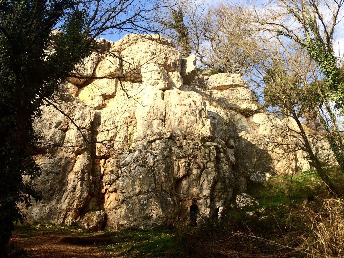
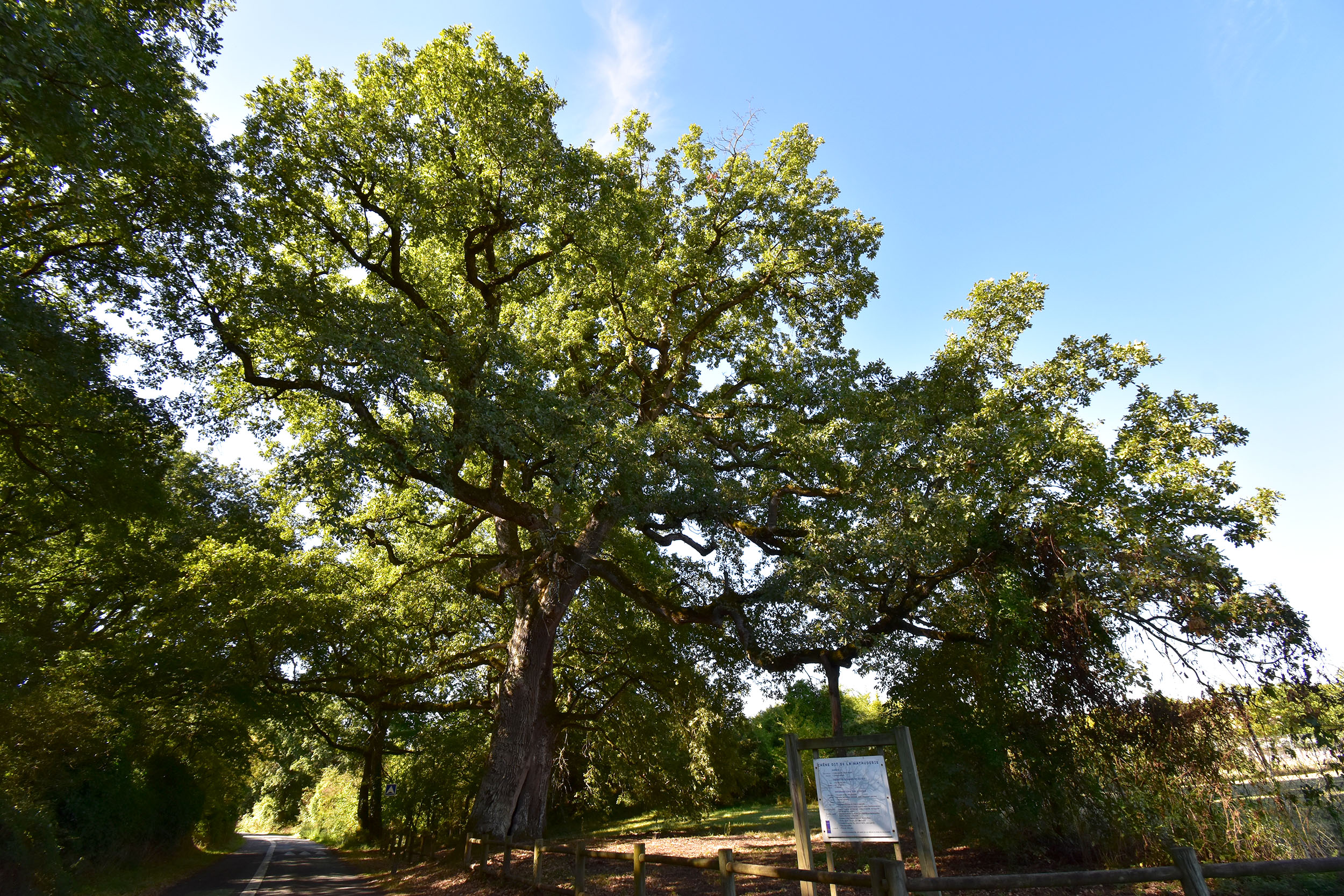
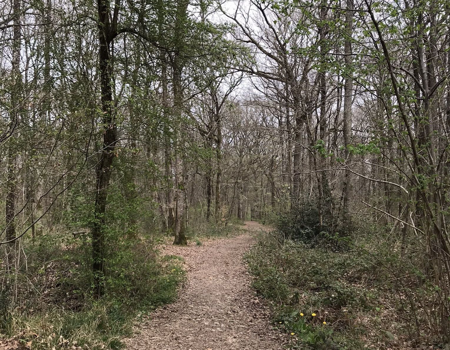
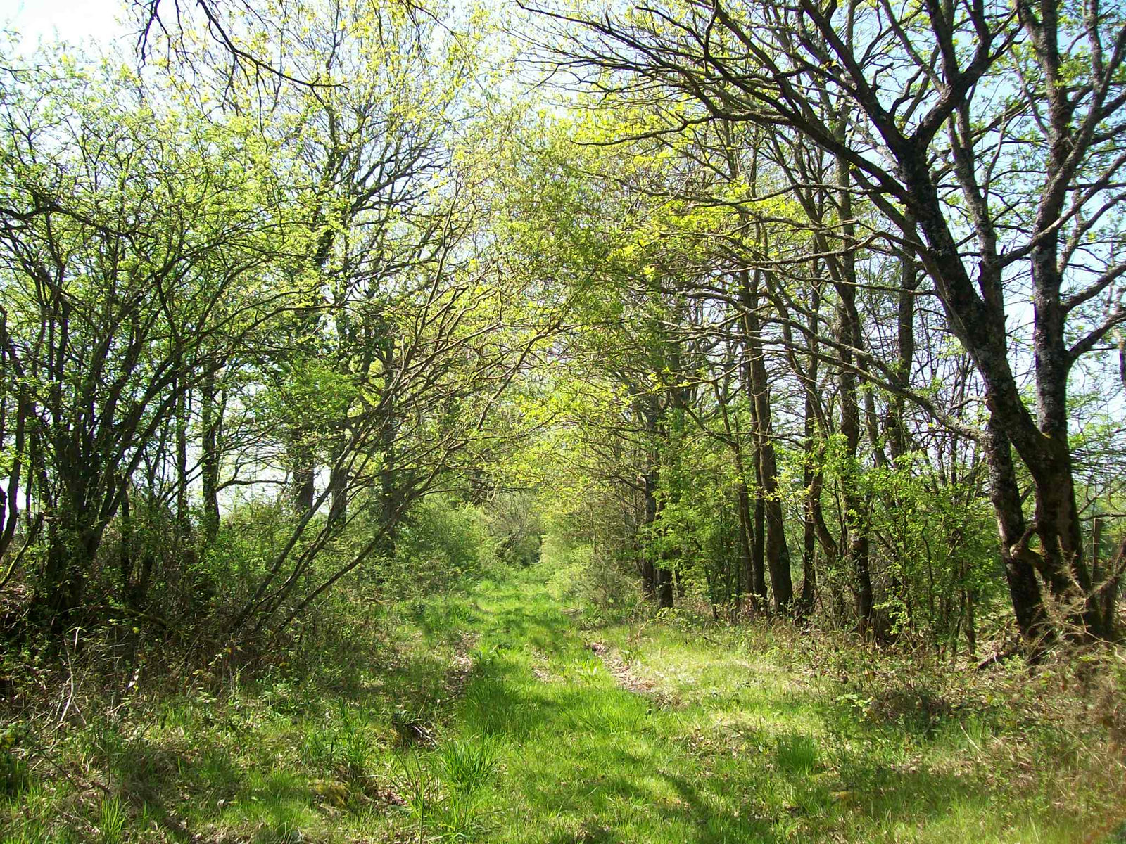
Starting not far from Béruges, this route quickly rushes into the Cern woods before emerging into fields. The path then returns to the woods before passing through Béruges, in order to reach the starting point.

Already more than 200,000 users!
Uphill
168m
Highest point
151m
Downhill
168m
Lowest point
76m
Route type
Loop
Download the map on your smartphone to save battery and rest assured to always keep access to the route, even without signal.
Includes IGN France and Swisstopo.
I indicate whether dogs are allowed or prohibited on this trail
All year
0 ratings
Also enjoy:

Already more than 200,000 users!