Uphill
137m
Length
14km
Duration
4h
Elev gain
137m
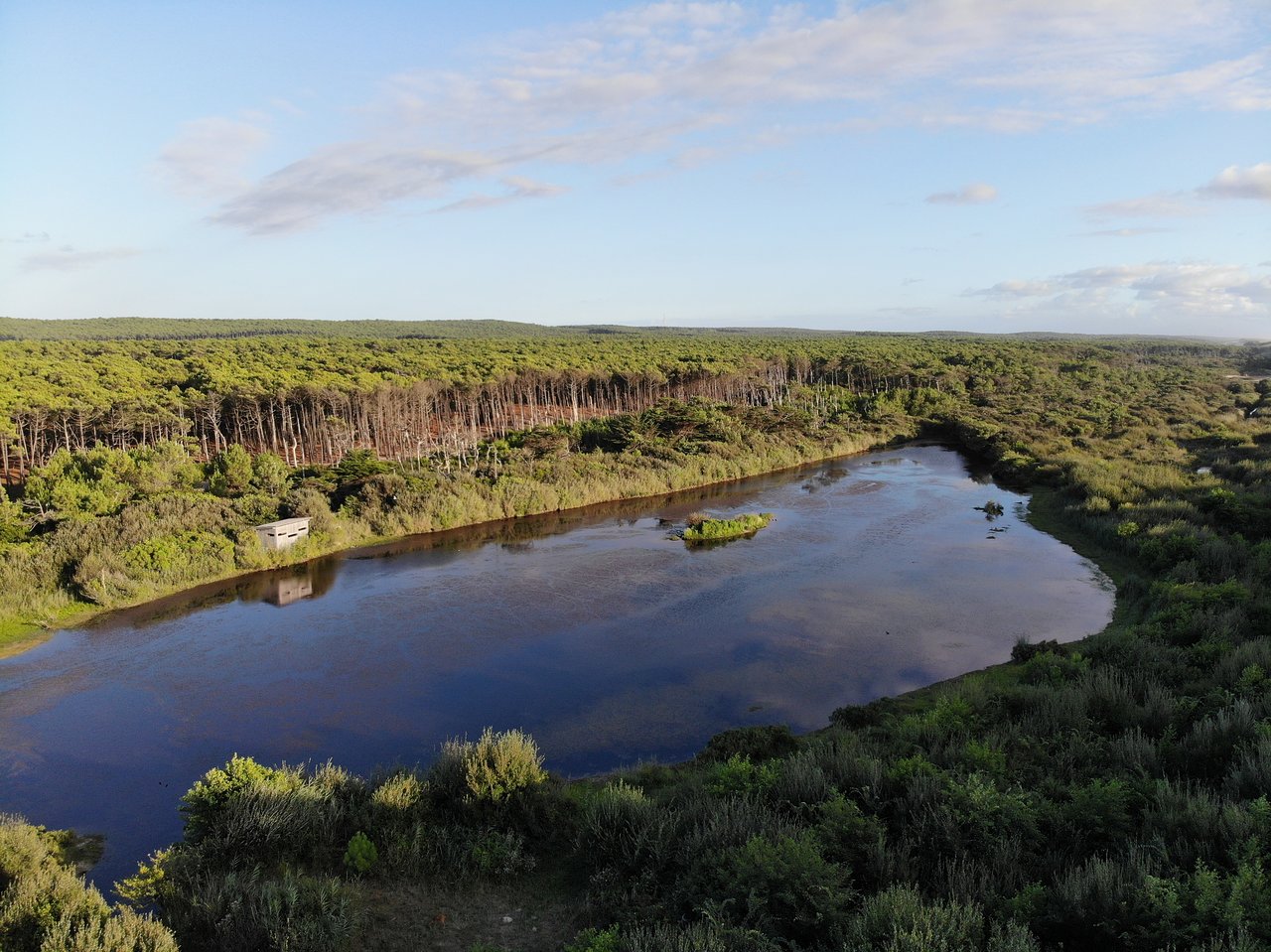
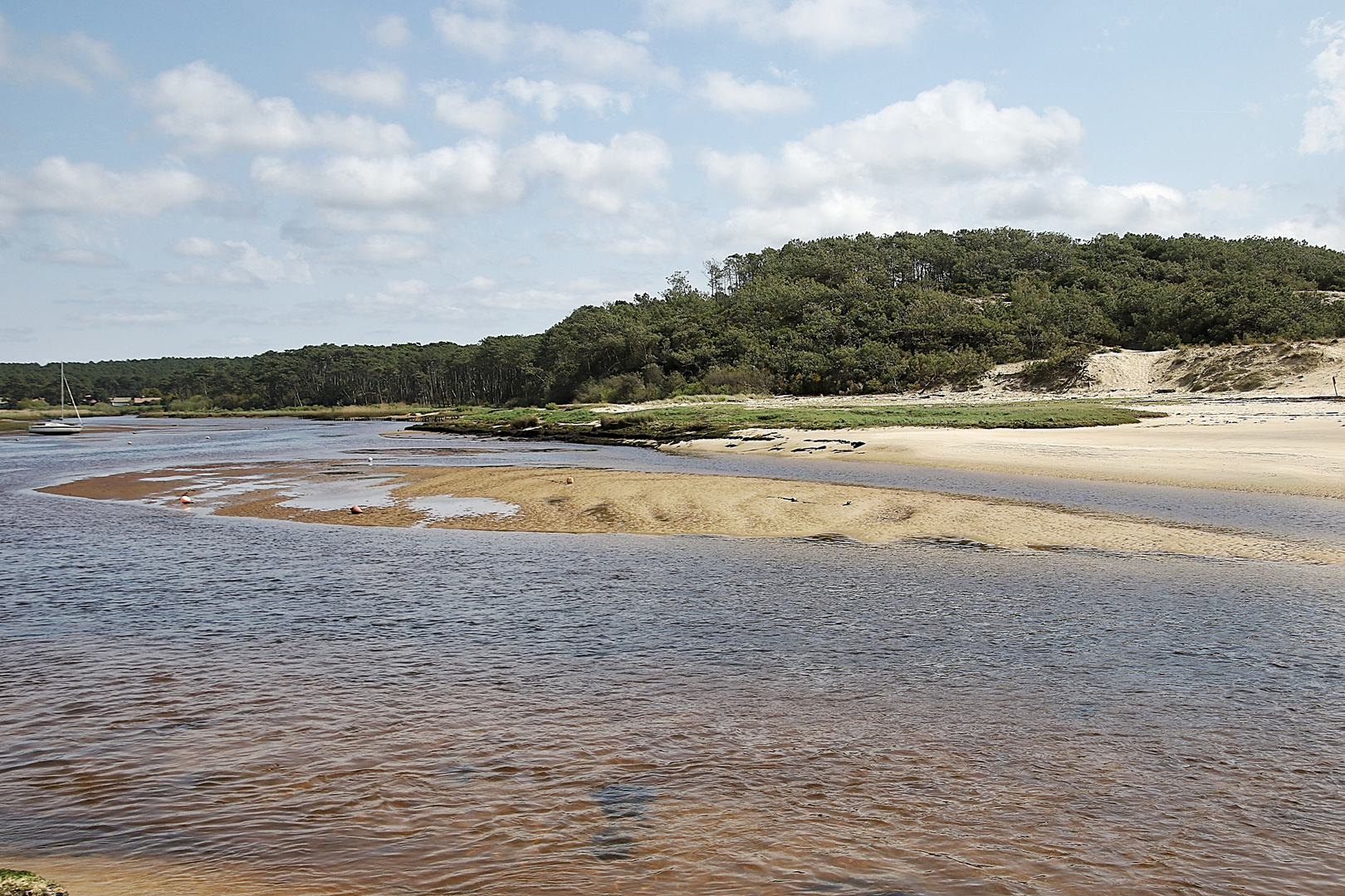
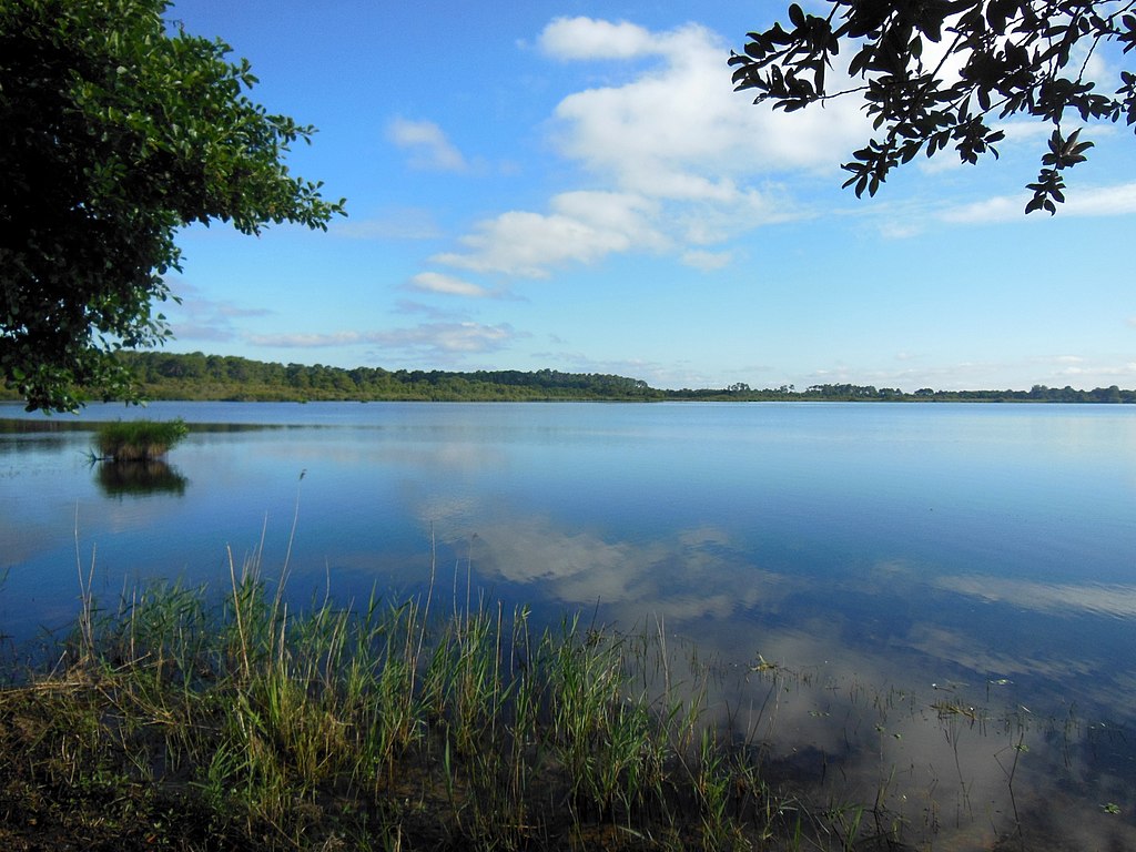
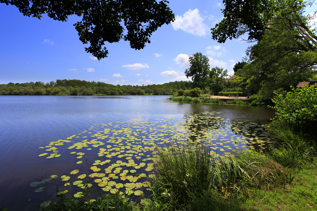
Walk around a 340 hectare pond, popular for water sports, fishing, and of course hiking.

Already more than 200,000 users!
Uphill
137m
Highest point
38m
Downhill
137m
Lowest point
6m
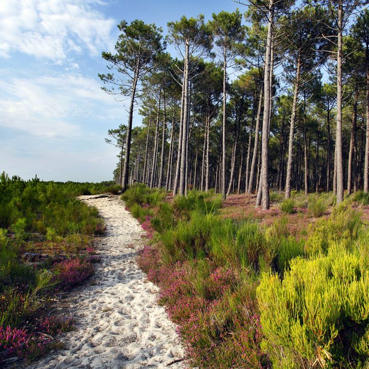
Route type
Loop
Download the map on your smartphone to save battery and rest assured to always keep access to the route, even without signal.
Includes IGN France and Swisstopo.
I indicate whether dogs are allowed or prohibited on this trail
All year
0 ratings
Also enjoy:

Already more than 200,000 users!