Uphill
234m
Length
14km
Duration
4h
Elev gain
234m
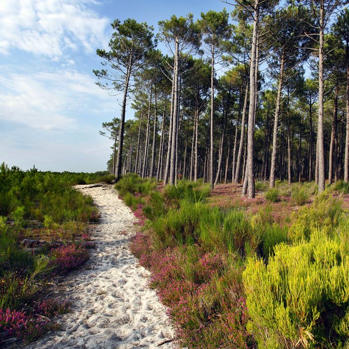
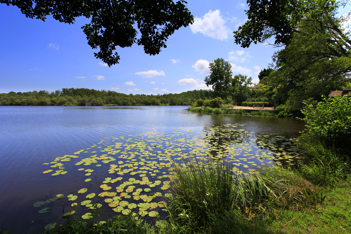
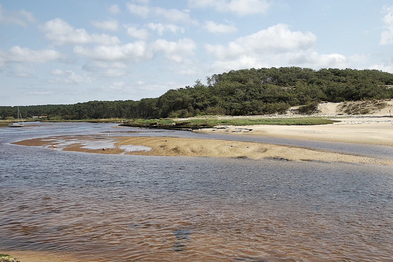
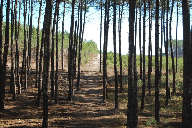
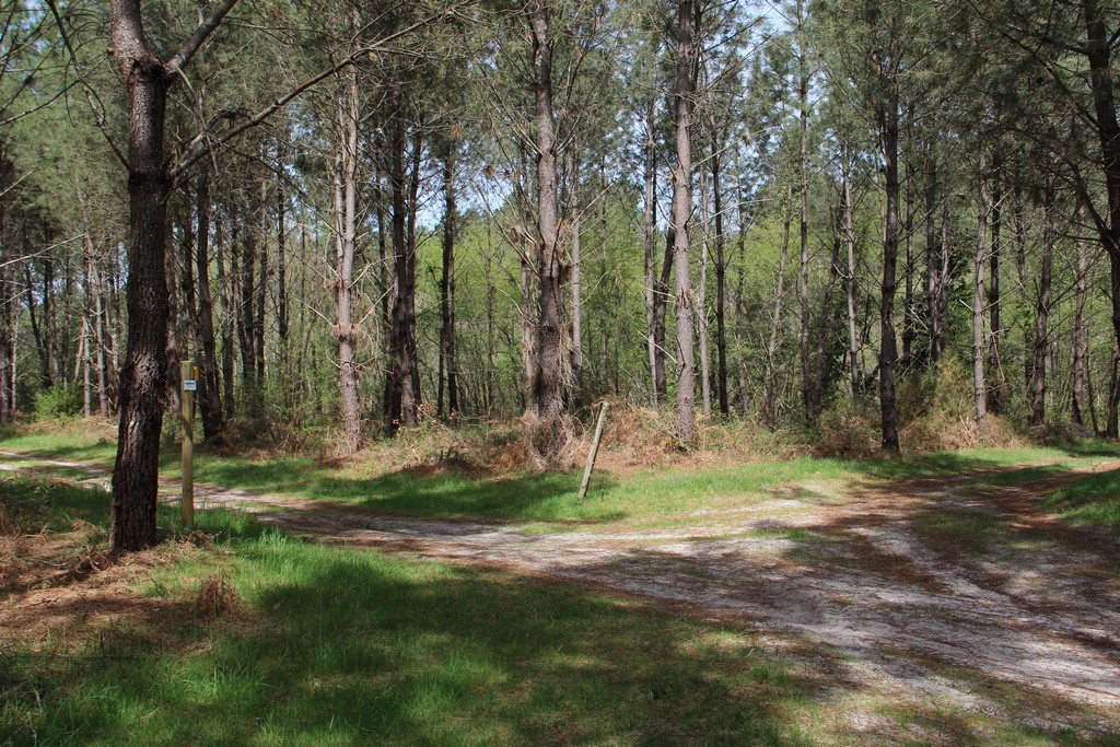
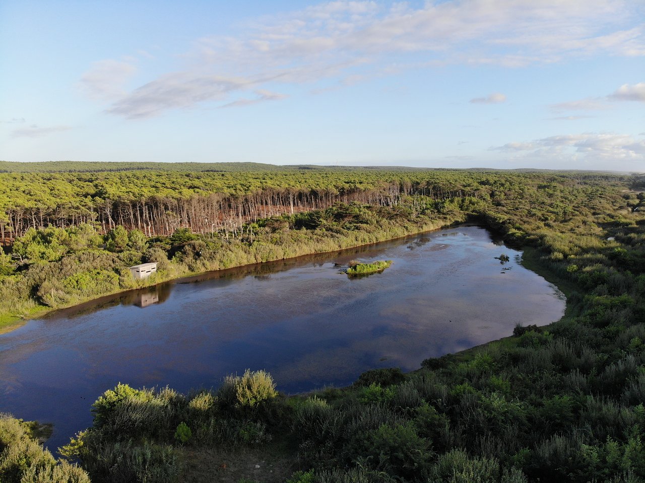
This hike starts in a pine forest, before joining the wild Espécier beach and then the Maillouèyre pond.

Already more than 200,000 users!
Uphill
234m
Highest point
97m
Downhill
234m
Lowest point
7m
Route type
Loop
Download the map on your smartphone to save battery and rest assured to always keep access to the route, even without signal.
Includes IGN France and Swisstopo.
I indicate whether dogs are allowed or prohibited on this trail
All year
1 rating
Also enjoy:

Already more than 200,000 users!