Uphill
67m
Length
7km
Duration
2h
Elev gain
67m
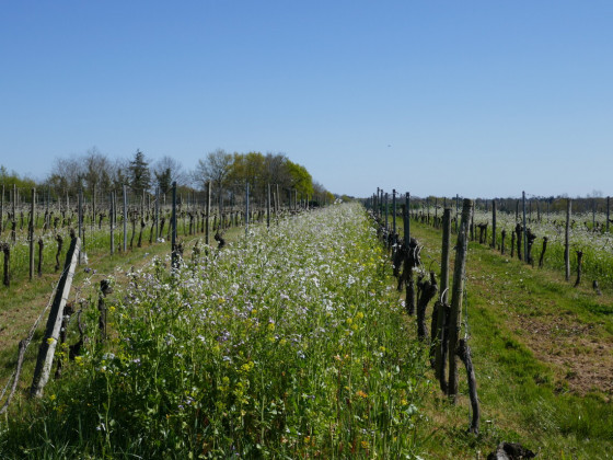
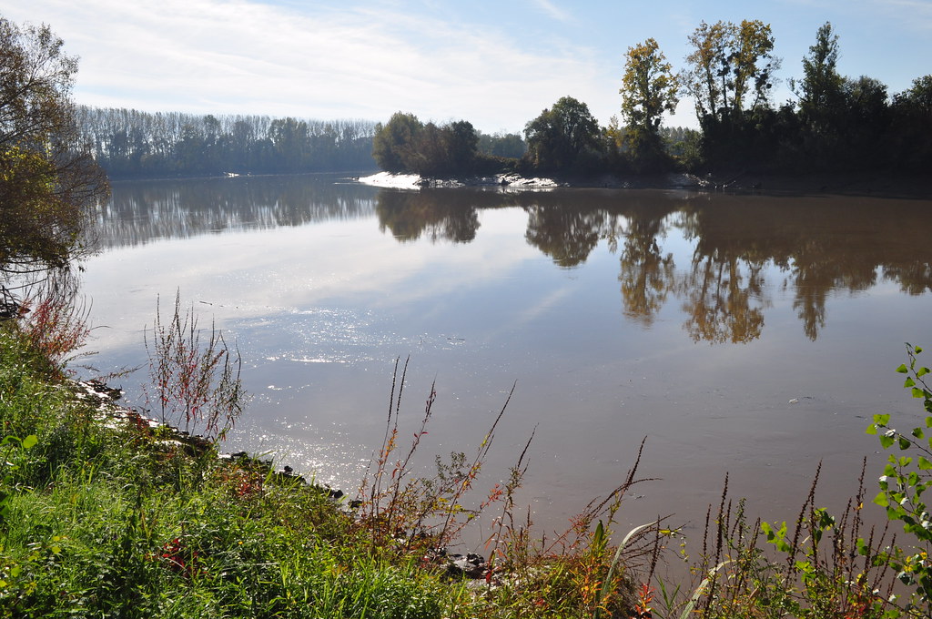
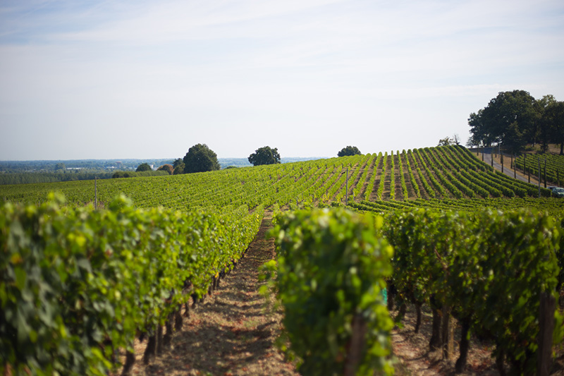
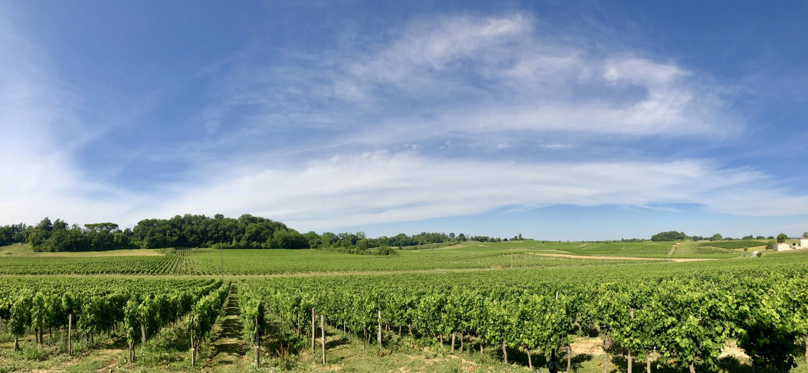
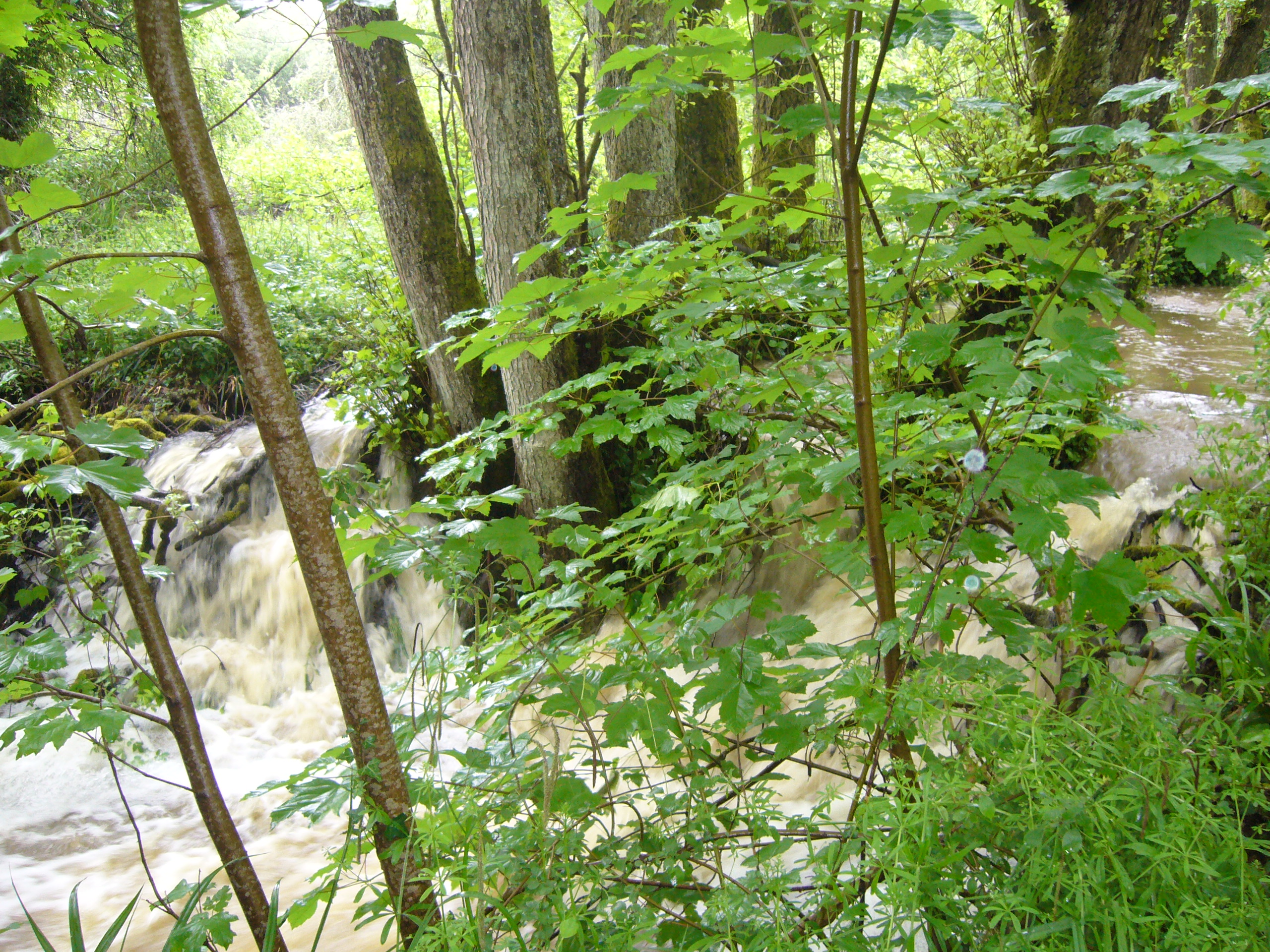
Here is a walk along the Roger Lapébie track, then winding through the Sadirac forest, particularly along the Pimpine river. Ideal for a family outing.

Already more than 200,000 users!
Uphill
67m
Highest point
107m
Downhill
67m
Lowest point
47m
Route type
Loop
Download the map on your smartphone to save battery and rest assured to always keep access to the route, even without signal.
Includes IGN France and Swisstopo.
8 ratings
Sentier accessible, bien balisé !
Contexte : promenade avec chien
Merci !
J'ai adoré !!! Ombragé, petit ruisseau, ça monte ça descend...top!
Also enjoy:

Already more than 200,000 users!